
-
 2820 Hits
-
 77.48% Score
-
 8 Votes
|
|
Route |
|---|---|
|
|
46.60355°N / 13.67078°E |
|
|
Download GPX » View Route on Map |
|
|
Hiking |
|
|
Spring, Summer, Fall |
|
|
Most of a day |
|
|
Easy hike up (T2) |
|
|
Overview
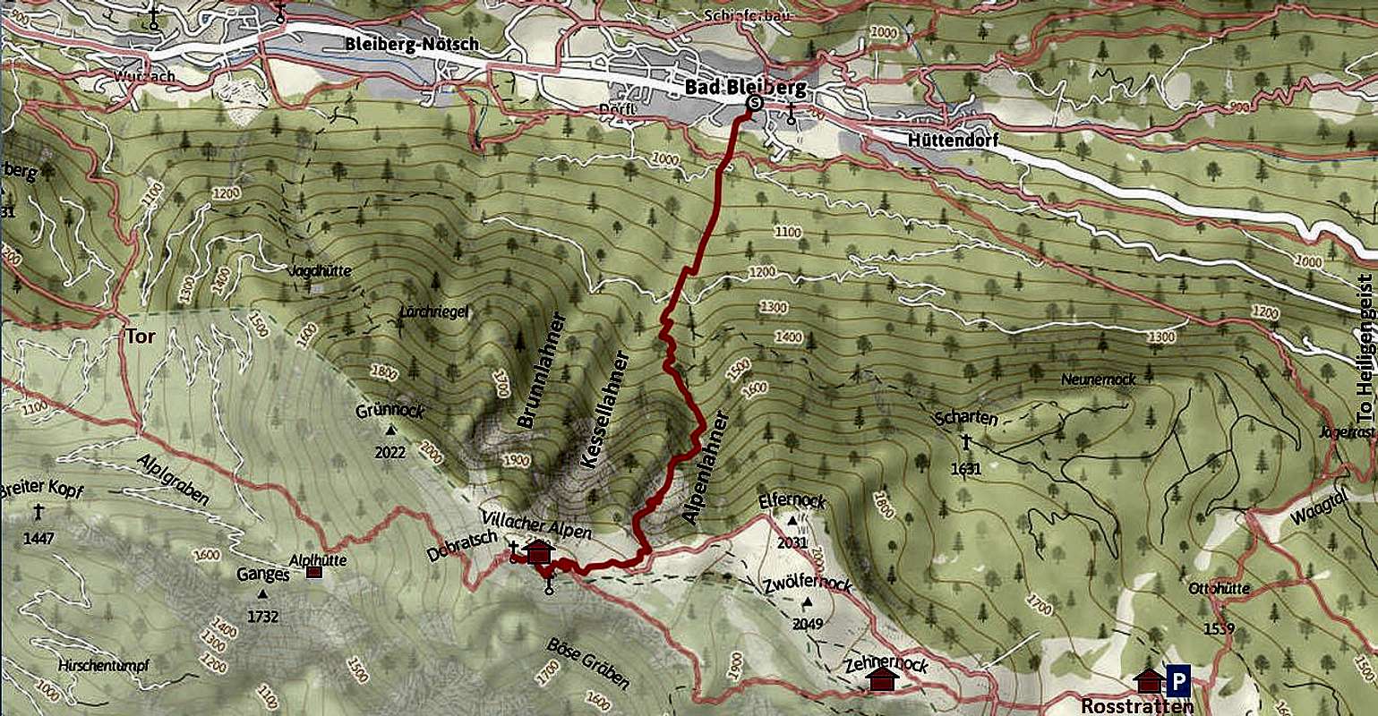
This is one of the "real" ascents on the migty Dobratsch massif, so not coming on top only from the parking place high on the mountain. There are a few northern ascents, marked paths are coming on top from Bad Bleiberg, from the nearby Bleiberg Nötsch and from Heiligengeist. The villages even more to the west can be considered already as trailheads for the west ascents. But the upper part of those ascents is identical to the ascent from Bleiberg Nötsch. I will describe more in detail only the ascent from Bad Bleiberg, other routes will serve us as descent alternatives.The Bad Bleiberg ascent is a quite high hike up, but not a very attractive one. It goes first through the woods, then over a scree filled valley, finally exiting on the summit plateau.The only real attraction is the expectation of splendid panorama from the top.
About the name: The ascent route from Bad Bleiberg is called also "Alpenlahnersteig" (by the name of the high valley).
General Information
Dobratsch from Bad Bleiberg. The Alpenlahner route goes by the left ravine.
Slope orientation: The ascent slope is north oriented, so the route is on some places shady also in summer. The final 10 minutes of ascent go by an east oriented slope (so towards the west).
Objective dangers: In summer conditions there are really none. On a ski tour due to northern exposition and steep terrain conditions must be really good, safe of avalanches.
Best season: Summer months, normally from July till October (or first snow). In good conditions this route is done also as a ski tour. The upper part must be ideal, especially in powder snow (Feb-Apr). Coming down through Alpenlahner, the valley gets more overgrown. I guess there you must ski down by the left side, where the marked path also goes. There the wood is more dense, but soon it gets better and lower down also cart roads help you to ski down to the town comfortably.
Gear: Good shoes and poles are sufficient.
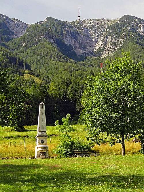
Tour start: Bad Bleiberg, 907 m. Free parking places there - in the middle of the town.
Highest point: 2166 m.
Altitude to overcome: cca 1260 m.
Time for ascent: 3 h 30 min.
Route Description
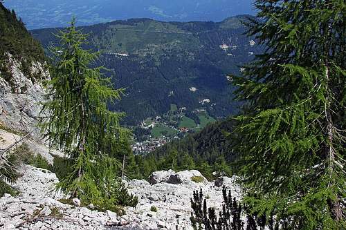
In Alpenlahner valley
Above the rock barrier the valley becomes again broad and the terrain is not overgrown any more. Nice larches only can be seen on scree fields and we are moving by the right side in many switchbacks up. In the middle of the scree valley (called Alpenlahner) a nice bench invites us to the rest. Then we continue up and in the last 200 meters till the valley exit the terrain is rocky. The path winds up by the easiest passages and finally we exit the valley on some 2000 m. There is the high plateau of Dobratch and from the left the broad path from Rosstratte comes. For sure there will be many hikers on it and together we go in the western direction - first to the big telecommunication tower, then to the nearby hut and on the highest point.
Descents
We can descend of course by the same route, which is the shortest and most convenient one. In that case we shall even take some advantage of sliding down by scree fields, but not a a lot though. A better advice is to assign to the hike one hour more and go down by some other route, doing so a round tour. Here are the options:1. To Rosstratten and towards Heligengeist. This is first the easy, popular hike towards the E-SE, towards the big parking place and restaurant on Rostratten. There we turn north and descend by ex ski slopes towards Heiligengeist. But we don't follow that direction down till the main valley. Half way down from Rosstratten, we can keep left and catch the marked trail which crosses the slopes directly to Bad Bleiberg.

West route from the top

The summit from Kuhriegel