

-
 4785 Hits
-
 71.06% Score
-
 1 Votes
|
|
Route |
|---|---|
|
|
39.49584°N / 105.63084°W |
|
|
Hiking |
|
|
Spring, Summer, Fall, Winter |
|
|
Half a day |
|
|
Overview
Mount Logan East Slope | DerekFreed
This is a mellow and easy-going ascent of a gentle Colorado 12er. The route combines:
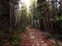
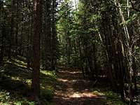
- On-trail travel
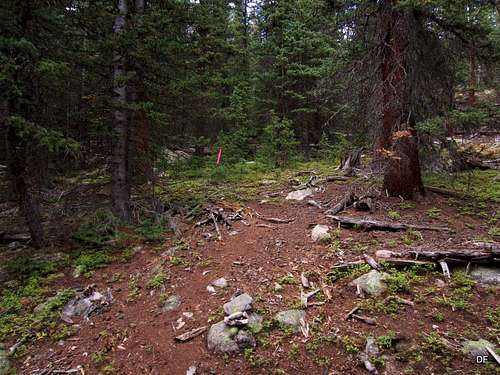
- Walks along old roadbeds (typically unmarked)
- Bushwhacking through trees, meadows and boulder fields
- Tundra hopping to the summit
Getting There
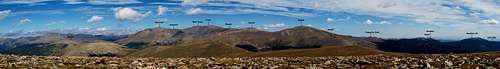
Mount Evans Wilderness | DerekFreed
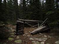
Old Cabin | DerekFreed
Follow Hwy 285 west from Denver for 28 miles. At a stop light, turn northwest (right, if coming from Denver) onto Park County Road 43. Follow CR 43 for 6.8 miles to a fork in the road. Bear left at this fork and continue an additional 2 miles (past the campground) to the Deer Creek Trailhead.
4x4 is not required to reach this trailhead unless there is deep snow present. In dry summer conditions, a sedan or motor cycle could reach this trailhead, if desired.
Key Waypoints, Map & Elevation Profile
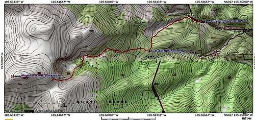
Map of East Slopes Route
| Location | Mile Mark | Elevation | Coordinates |
| Deer Creek TH | 0.0 | 9,275' | 39.51063, 105.56679 |
| Left At Trail Split | 0.1 | 9,310' | 39.51082, 105.56841 |
| Left On Southwest Road | 0.4 | 9,360' | 39.51210, 105.57195 |
| Road End | 1.5 | 10,310' | 39.50288, 105.58566 |
| Upper Lake | 3.1 | 11,170' | 39.50127, 105.60689 |
| Slope Start | 3.4 | 11,600' | 39.49694, 105.61229 |
| Mount Logan Summit | 4.75 | 12,870' | 39.49584, 105.63084 |
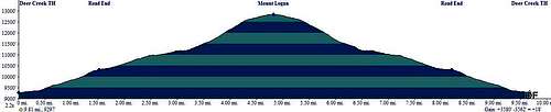
Profile of East Slopes Route
Route Description
Southwest Road | DerekFreed
Southwest Road | DerekFreed
Faint Trail | DerekFreed
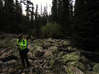
Talus Crossing | DerekFreed
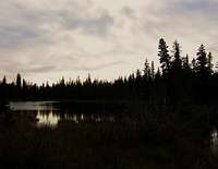
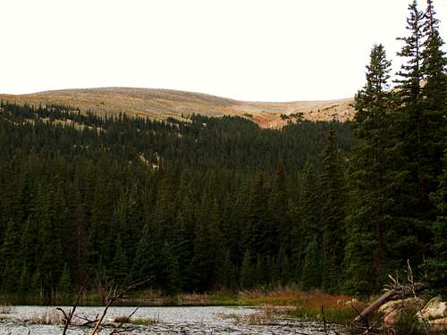
Lake Along East Slope Route | DerekFreed
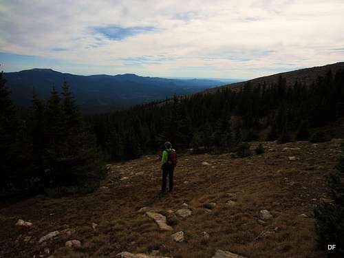
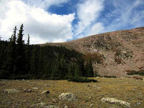
Breaking Treeline | DerekFreed

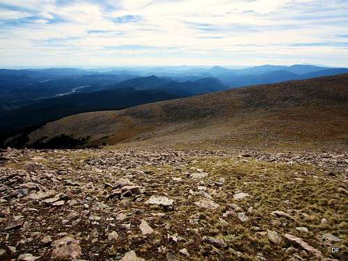
East slope and couloirs | DerekFreed
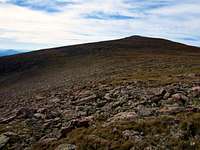
Pt 12509 | DerekFreed
Logan and Pt 12509 Saddle | DerekFreed
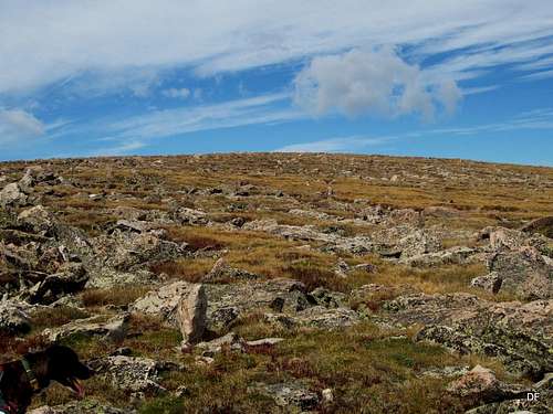
Final Walk to the Summit | DerekFreed
Essential Gear
East Slope from 11,600' | DerekFreed
• Map & compass
• Comfortable hiking boots or shoes
• Snowshoes or skis after a heavy snowfall
• Water and snacks
• A camera to save memories of the high country views
• First aid kit
• Other standard backcountry essentials