-
 4916 Hits
-
 74.92% Score
-
 5 Votes
|
|
Route |
|---|---|
|
|
46.13230°N / 114.255°W |
|
|
Hiking, Mixed, Scrambling |
|
|
Spring, Summer, Fall, Winter |
|
|
Most of a day |
|
|
Class 3 |
|
|
Strenuous |
|
|
I |
|
|
Overview
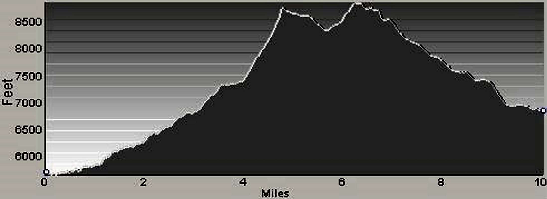
Route Type – Hike and Scramble Class Level – Class 3 Elevation – 8,905’ Gain – 4,100’ Distance – 13.3 miles (round trip) Time Required to Complete This Route – One Day (round trip)
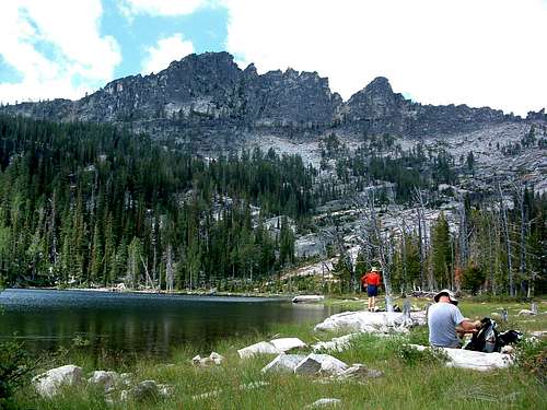
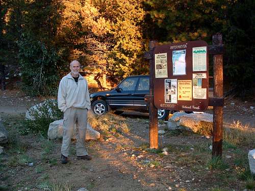
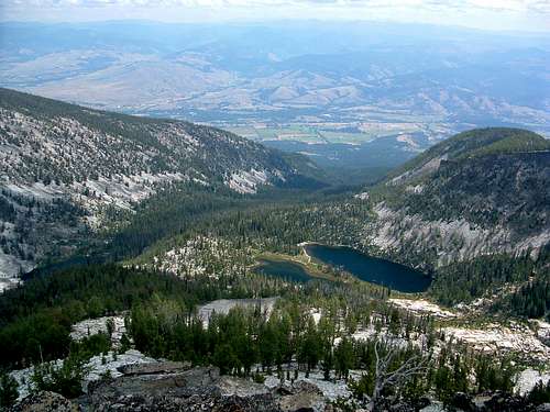
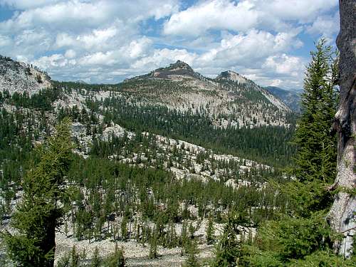
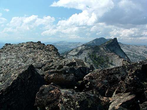
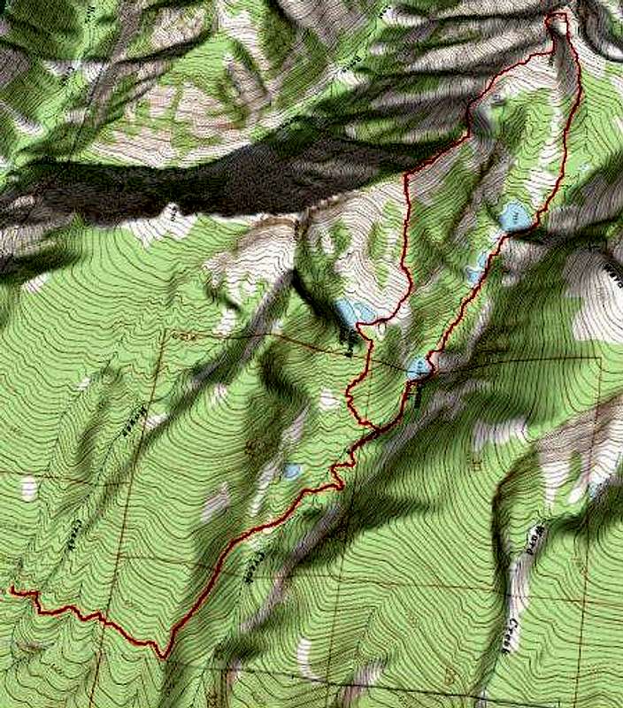
I’ve always liked hiking above the tree line, enjoying the views. Unfortunately, such routes often entail point-to-point hiking and the complication of shuttle vehicles. However, following all or part of a ridgeline around a cirque can be a great way to keep altitude for an extended period of time yet allow you to return to the same trailhead and eliminate the auto-shuffle. It turns out there is an excellent route around a portion of the Camas Lakes Cirque for just such an outing. Much of the circuit is above 8,000’ and affords some great views of the surrounding peaks. Getting ThereCamas Lakes Trailhead Drive south from Hamilton, MT for a little over 9 miles. Turn right (west) onto Lost Horse Creek Road. Drive 2.4 miles to a posted junction with FR 496. Take the right fork (northwest) onto the gravel road and drive for 6.1 mile to the well marked pull-off for the trailhead. There is ample parking for several vehicles but there are no restroom facilities. Route DescriptionAt a point approximately 2.25 miles from the trailhead, you will cross two bridges in rapid succession over rushing streams - actually Camas Creek. The trail then begins a more rapid ascent but there are several switchbacks to lessen the impact on your legs. The trail levels off a bit as you approach the 2.5 mile mark. This is the place where you have to pay close attention. At an elevation of about 6,800', there is a faint trail to your left (southwest) which is sometimes marked by a few smallish cairns. This trail will lead you to the first body of water on this route, Kidney Lake. The trail has been abandoned by the Forest Service, so you may find that the cairns have been kicked over or are missing altogether. You really have to pay attention or you’ll miss the turnoff (46.15419 N, 114.27371 W). Abandoned or not, the trail to Kidney Lake is in good shape and easy to follow. The original engineering was good at using switchbacks to traverse up the slope. The only problem on this old trail is within 100 yards of where it leaves the Camas Lakes Trail. You have to cross a rushing stream which can be quite difficult to navigate during periods of high runoff without getting soaked; but once you’re over, it’s easy going up to the lake. You reach Kidney Lake about .75 mile after leaving the "official" Camas Lakes Trail. On the north side of the lake, you will see a ridge crest leading up to Point 8,766 which is west-northwest of the lake. Head around the east end of the lake directly to the ridge crest and begin ascending the slabs and boulders, intermingled with patches of Bear Grass and trees. The going is not particularly steep or difficult. The summit of Point 8,766 is a good place to take a break if you didn’t do so while at Kidney Lake. The views are awesome in all directions, and, you’re about to begin a more difficult section of the route full of rock hopping and route finding.
When the ridge takes a turn in a more westerly direction, you will see a saddle to which you must descend before the final ascent to East Camas Peak (Point 8,905). Pick your line, but save your legs by not descending below the saddle. Giving up 450’ from Point 8,766 to the saddle is payment enough! As you descend toward the saddle, study the ridge crest leading to East Camas Peak’s summit, paying close attention to where the groves of trees are in relation to the ridge. Keeping their location in mind will help you keep a good line during ascent.
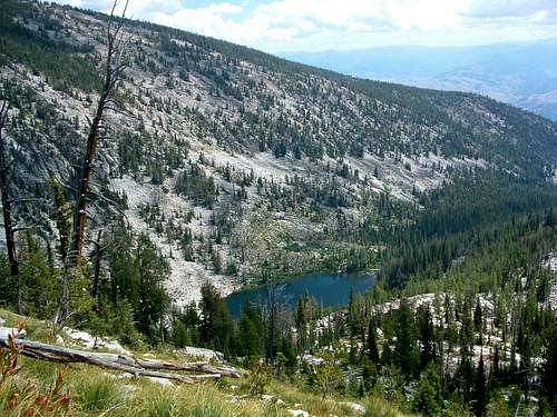
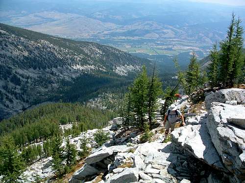
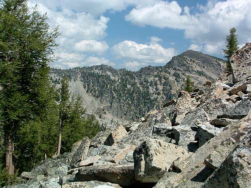
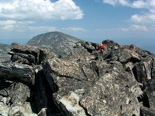
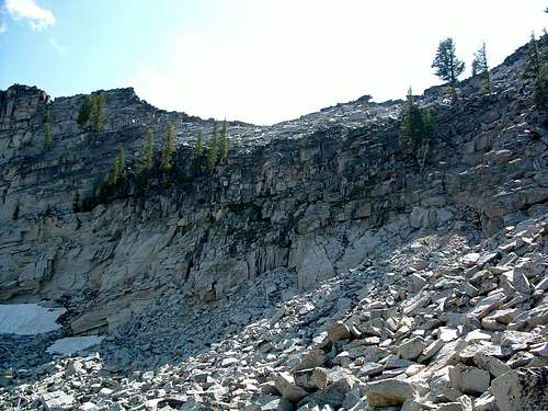
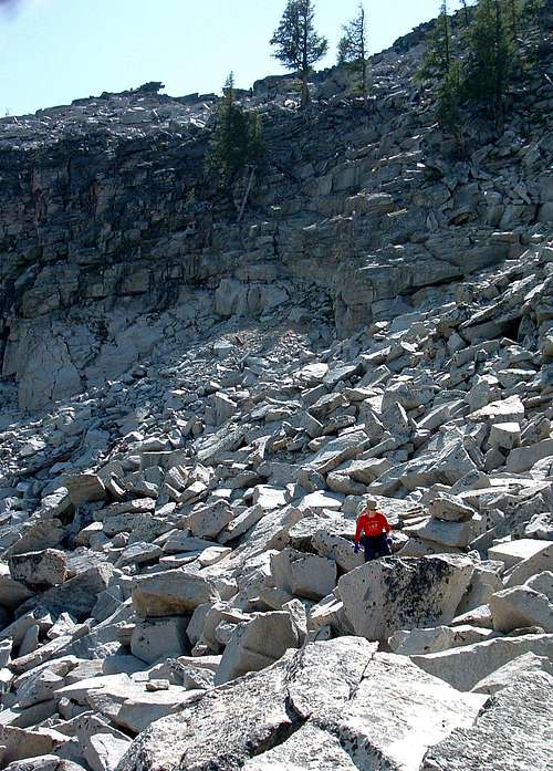
When you reach the saddle, take a few moments to study possible lines up the southeast ridge. Even though it’s difficult to tell from the saddle, there are several especially steep sections close to the summit, and remembering where the signpost (trees, distinguishable rock outcroppings, etc) are in relationship to the ridge's crest will help you find a good route. Begin the final push to the summit, almost 600 feet above. I believe you’ll find the easiest line to the top will be close to the ridge crest. But, if you're interested in more difficult Class 3 or 4 climbing, go a bit left and scramble up the steep granite guarding the summit. Just a few yards past (west of) the summit you will reach a section of ridge which narrows almost to a knife edge. It looks pretty scary. Down-climb off the crest of the ridge to your right (north) to an obvious ledge (within 10’ of the ridge crest) which will lead you past the knife edge and the exposure. This exposed section is less than 30 few feet long, but a fall would hurt, a lot, so be careful. In my opinion, nothing here exceeds Class 3; it’s just a little airy. As you continue down-climbing from the summit, stay a little below (but close to) the crest of the ridge and traverse to a point past (north of) and below the southeast ridge leading to West Camas Peak before you begin descending more rapidly in an easterly direction into the cirque. By taking this particular descent route, you lower this section of down-climb from Class 3 to Class 2+, plus eliminate a bit of exposure and having to route-find through a lot of really huge boulders. When you reach Upper Camas Lake, go along the left (north) side. If you haven’t picked up a pretty good trail by this point, move closer to the shoreline and you’re bound to find it. The trail is decent in most places, even marked with a few cairns as you go past the east end of the lake. Descending from Upper to Middle Camas Lake is pretty straight forward and covers about .25 mile. Again, the trail is pretty good and stays close to and north of the stream running between the lakes. After passing Middle Camas Lake you will find the trail sketchy in spots and may even lose it a time or two. Just make sure you stay left (north) of the stream and you’re sure to pick it up again. You can hardly get lost if you keep the stream to your right (south), and keep going downhill. The section of route from Middle to Lower Camas Lake is about .75 mile. As you approach Lower Camas Lake, you will run into a large talus field coming downhill from the side of Ward Mountain (on your left) which flows all the way to the lakeshore. Most climbers have a tendency to go high over talus. Don’t do it here. There is an obvious path through a portion of the field, but when it disappears, stay low (south) and close to the lake's shore. Such a path will take you over several sections of trail then dump you directly onto a well-worn trail when you reach the east end of the talus. Unfortunately the next section is some of the most overgrown (with brush) crappy trail I have ever seen. But persevere and you will eventually reach the dam (east) end of Lower Camas Lake and some braided trails leading to several campsites. Work your way through the old fire rings and search for the most-used trail leading in an easterly direction. It’s pretty obvious and you will probably also see a couple of cairns. Follow this main trail away from the lake and begin your final descent toward the point where you left the Camas Lakes Trail to climb up to Kidney Lake. You will reach the cutoff in about .4 mile. From that point, it’s just a matter of retracing your steps back to the trailhead along the Camas Lakes Trail. You’ve got three miles to go, for a grand total of about 13.3 miles. A nice day-hike, don’t you think?
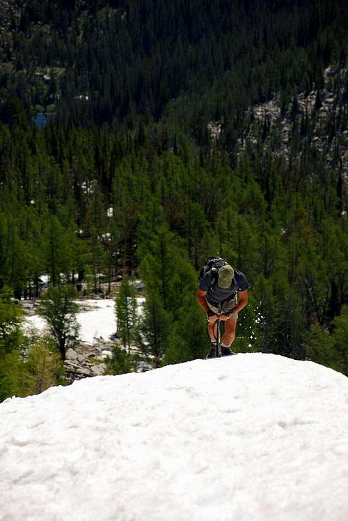
Essential GearDuring good weather, nothing but good hiking shoes or boots and weather-appropriate clothing is required.This route can be followed during winter-type conditions - snow on the ground - but use of an ice axe and crampons are likely to be required to ascend, move along, and descend the rim depending upon the consistency of the snow. Snowshoes or skis with skins are a necessity when the snow is not well consolidated. There is plenty of water along this route except for the portions on the cirque's rim. Carrying a filter may be a good idea, as you're likely to want plenty to drink. When To GoThis route is viable at any time of the year. There is little chance of avalanche anywhere along the route, though one should always be aware of the possibility.Many of the experienced back-country skiers who live in the Bitterroot Valley visit the Camas Cirque on a regular basis when snow is present, and follow portions of this route to reach their favorite slopes. As soon as the road to the trailhead is clear of snow during late spring or early summer, this is a particularly fun route on the (by then) well-consolidated snow. Route Statistics |


