From Fall to Winter on Mount Forgotten 11-11-2013
I
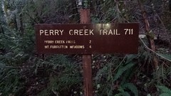
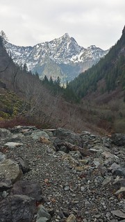
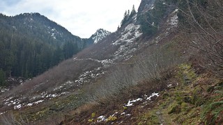
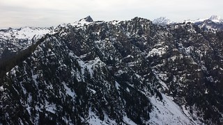
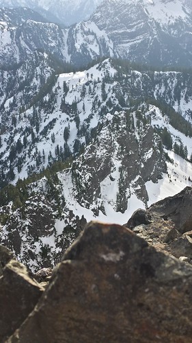
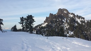
A few recent trip reports for Perry Creek and Mount Forgotten reminded me that I wanted to return to the Mountain Loop Highway before access to it becomes complicated by winter. I parked behind the only other vehicle at the barricaded access road just east of the bridge over Perry Creek. Snow began to appear on the trail after the second creek crossing, and was covered the ground by halfway up the switchbacks up to the meadows. At the top of the ridge there was a solid boot trench across the meadows through at least a foot of snow, and a set of tracks (at least a day old) continued down to the traverse. From there, two to four feet of soft snow covered the ground up to the summit, the tip of which was bare rock.


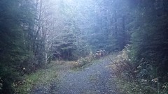
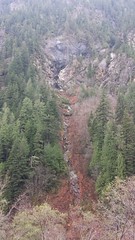
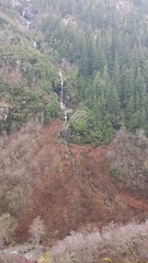
A report from Sunday on WTA.org described a firm bootpath to the Meadows and mentioned 2 people who may have tried for the summit, so I chose to leave my snowshoes behind and chance the last 1.5 miles without them. After the road stops I met a pair of hikers carrying snowshoes, the only people I saw off of the highway all day. We leap-frogged up the trail, hiking together for the last mile below the ridgeline. There are at least 5 separate waterfalls feeding into Perry Creek from the slopes and cliffs above, maybe dozens depending on how you count them.
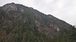
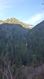

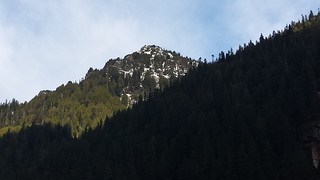

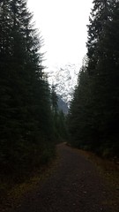
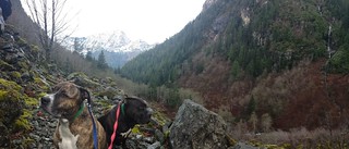
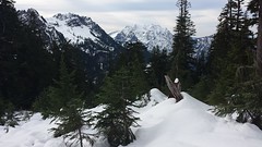
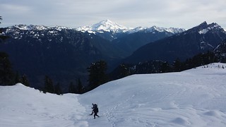
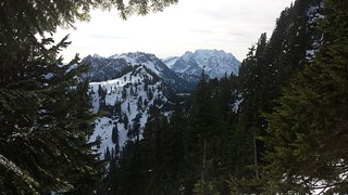
After crossing Perry Creek, the trail switchbacks up through dense canopy of cedar and fir. Shortly after exiting into open skies, we got our first glimpse of Mount Forgotten on the left. Also visible were White Chuck Mountain, Mount Skuksan and Mount Baker. I took some pictures and then left the trail for Point 5396, hoping to have some fresh tracks to follow by the time I started the traverse. I began descending to the meadows as the pair I met earlier approached wearing their snowshoes, with Glacier Peak beaming above them in the distance. We took a short break together and discussed the potential summit bid. They decided not enough daylight was left and chose to explore the meadows and the nearby peak instead. Thanks for the warm drink Al, it really hit the spot!
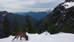
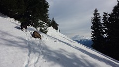
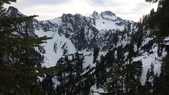
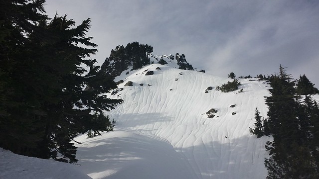
I left the old tracks within the first 50' of descent, trying to lose as little elevation as necessary. I did my best to follow the highest route visible from the meadows and managed with only minor re-routing below the occasional cliffy section. The Elk or goat tracks weaved across my path throughout the traverse. The sun poked in and out of clouds throughout the day, and it was surprisingly warm until the wind began to pick up in the early afternoon. When the slope noticeably mellowed I began to regain the 200' or so of lost elevation and before long the summit came into view. A short climb through firmer North-facing snow and I was sitting on bare rock surrounded by the snow-capped Cascade Mountains.
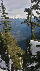
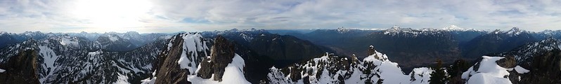
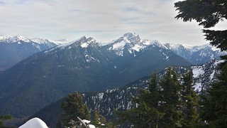
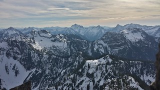
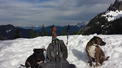
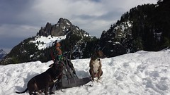
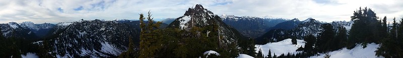
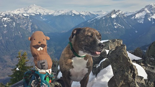
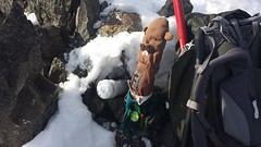
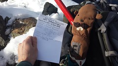
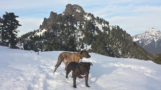
I enjoyed the summit for about an hour with the dogs, content with an exit hike via headlamp if that's what it came to. Looking back towards our route I noticed that Tahoma was nearly eclipsed by Del Campo Peak, the first place I visited along the Mountain Loop. I did not see a survey marker but I did find a recently placed summit register buried in a cairn under a few inches of snow. After tons of pictures I begrudgingly started back through ever softening snow, sinking to the crotch with every other step. Back at the Meadows I snapped a few more pics of Glacier and Forgotten then hiked out in solitude, making it back to the highway just before dark.


~13 miles
~4500' gain
9 hours car to car
My Blog


Comments
Post a Comment