Stats
Date: 6/18/2011
Distance: 15.5 miles
Elevation Gain: ~9000'
Participants: Brian Kalet, Steve Knapp &
chicagotransplantThe Traverse
Steve and I met Mike at Poncha Pass on Friday night, then dropped his vehicle close to the North Decker Creek Trailhead. We couldn't make it all the way because of a large, fallen tree blocking the road. We then continued up to Hayden Pass. The road is mostly good with a section about 1 mile long that is loose and has a couple of minor rock obstacles. We camped at Hayden Pass and started hiking towards Galena Peak at 6:07 am Saturday morning. We found an old road that took us quite high on Galena, but eventually had to travel cross-country to the summit. The wind was blowing quite hard from the southwest for the majority of the day. The hike was primarily one long class 2 ridge. We would regroup on each summit and refuel. The decision-making we needed to do primarily consisted of deciding whether to climb over the many bumps along the way or sidehill around them. Finally, we made it to the last peak of the day 12401. From here, we descended west down an avalanche path to the North Decker Creek Trail and finally back to Mike's vehicle roughly 12.5 hours after starting. In retrospect, it might have been easier to descend in a more northwesterly direction, or even ascend Simmons Peak, and meetup with the Simmons Peak Trail instead of descending the steep talus directly off of 12401. I ran out of food and water during the drive back to Hayden Pass. Thanks to Mike for the cheese and chocolate covered raisins on a couple of the summits and to Steve for organizing the trip!

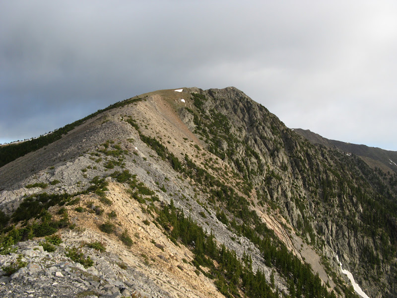
Galena Peak from Hayden Pass. Photo: Mike Rodenak
Galena Peak from its south ridge. Photo: Mike Rodenak

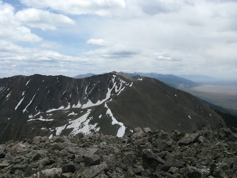
Looking north from Galena Peak. Photo: Mike Rodenak
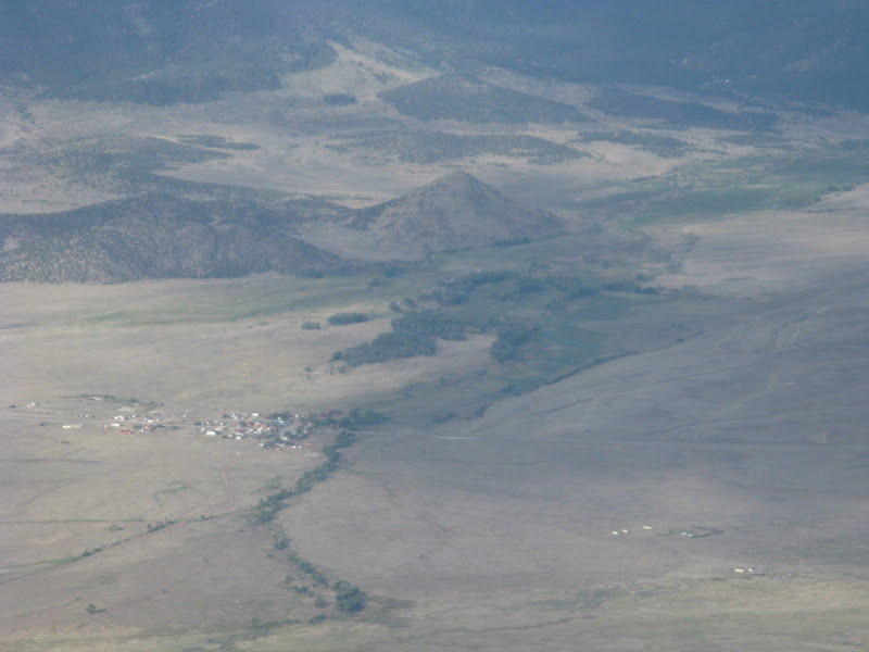
Villa Grove from Galena Peak. Photo: Mike Rodenak

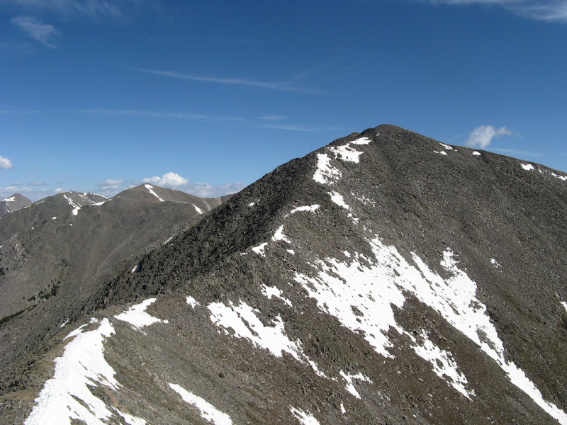
Galena Peak and southern Sangres from 12620. Photo: Mike Rodenak

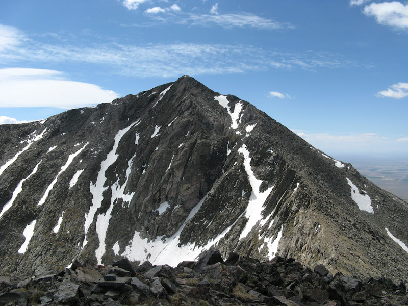
12620's northeast face. Photo: Mike Rodenak
Bushnell Peak. Photo: Mike Rodenak

Pikes Peak from Bushnell Peak. Photo: Mike Rodenak

San Luis Valley from Bushnell Peak. Photo: Mike Rodenak

Stout Creek Lakes from Twin Sisters. Photo: Mike Rodenak
Bushnell Peak from Twin Sisters South. Photo: Mike Rodenak

Looking north from Twin Sisters North. Photo: Mike Rodenak
Looking south from Red Mountain. Photo: Mike Rodenak
Hunts Peak from Red Mountain. Photo: Mike Rodenak
Looking south from Hunts Peak. Photo: Mike Rodenak

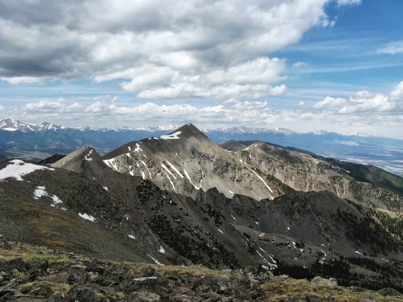
Mount Ouray from Hunts Peak. Photo: Mike Rodenak

12401. Photo: Mike Rodenak

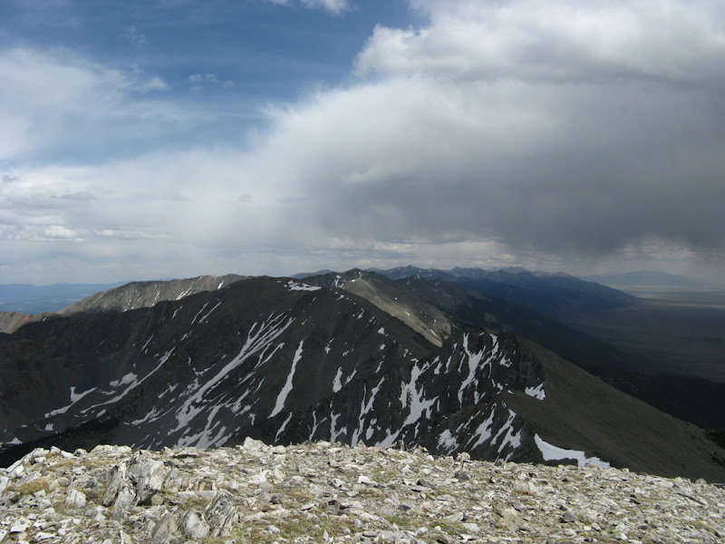
Looking towards Salida from 12401. Photo: Mike Rodenak

Steve descending steep talus towards the avalanche path and North Decker Creek Trail. Photo: Mike Rodenak

12401 from the vehicle. Photo: Mike Rodenak

Map
Comments
No comments posted yet.
