-
 1283 Hits
-
 77.48% Score
-
 8 Votes
|
|
Mountain/Rock |
|---|---|
|
|
Hiking, Skiing |
|
|
Spring, Summer, Fall, Winter |
|
|
6348 ft / 1935 m |
|
|
Overview
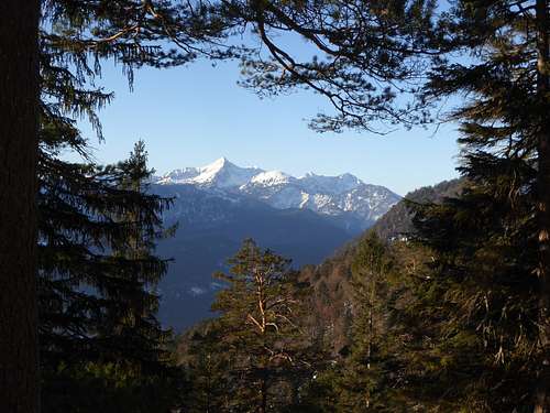
If you take a closer look on the surroundings of well known and crowded summits you nearly always have a good chance to find a nearby lonely and peaceful neighbour summit.
This is the fact, too, with Kramerspitz (or Kramer), one of the most frequented summits within Ammergau Alps and situated above Garmisch-Partenkirchen, and with Hirschbichel (or sometimes called, too, Hirschbühel), the heighbour to the west of Kramer and nearly as high as Kramer itself.
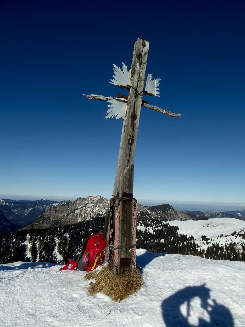
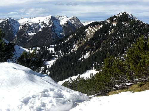
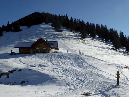
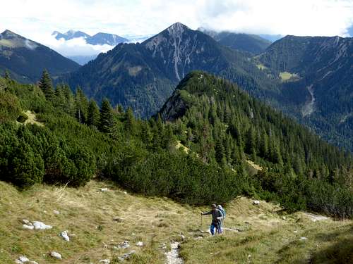
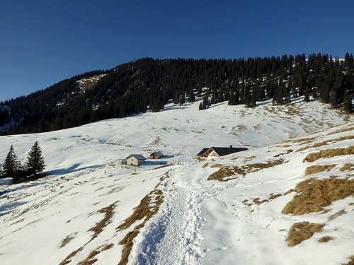
Hirschbichel rises above Stepberg Alm hut, a nice mountain hut which normally offers food and drinks. Equally lonely Vorderer and Hoher Ziegspitz to the south and southwest and Kramerspitz to the east, Hirschbichel is a year round outing, an easy hike in spring, summer and autumn, an equally easy ski tour or snowshoe hike in winter.
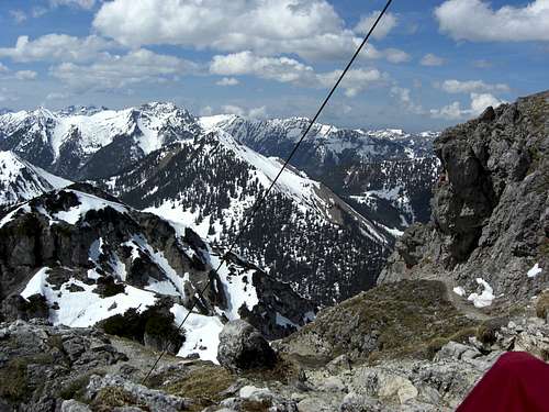
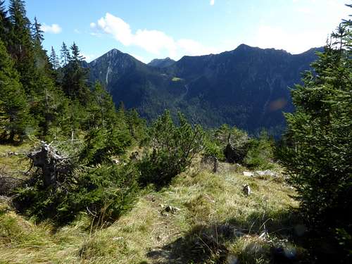
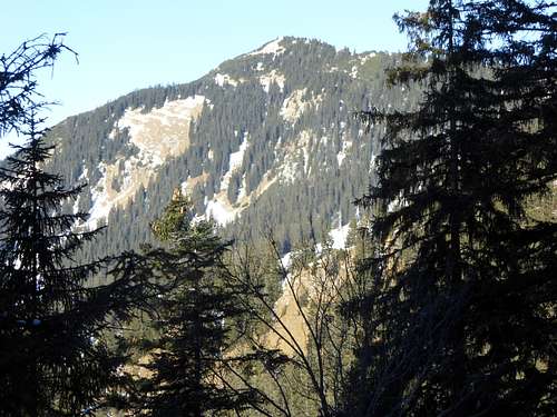
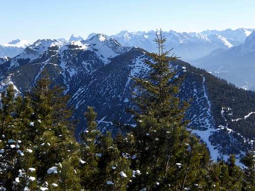
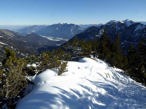
The south side above Stepberg Alm is a steep meadow slope with open woodland and a dwarf pine zone near the summit, which offes as good views as Kramerspitz.
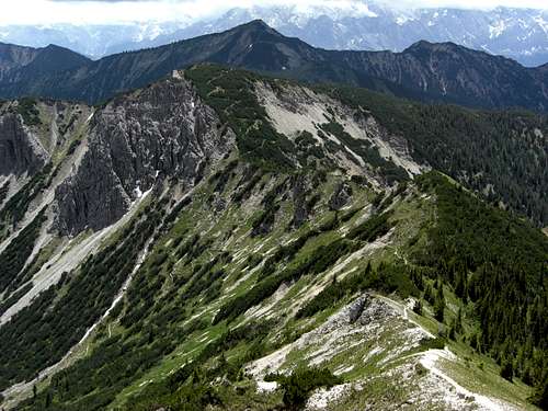
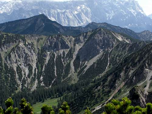
To the west and north Hirschbichel drops down steeply to Elmaugraben (west) and to Sulzgraben / Ennig valley (north). The north ridge of Hirschbichel runs down to Ennigalm hut and the col with the Alm links our summit to Windstierlkopf to the north.
A hike to Hirschbichel via Stepbergalm is shorter as the one to Kramerspitz. It is a good option for a half days hike or a shorter day hike, especially in winter and early spring.
Getting There
For Hirschbühel there are four main trailheads:
- Farchant / Spielleitenweg
- Garmisch / Pflegersee
- Garmisch / Maximilianshöhe and
- Untergrainau
The general approach by car is
- From Munich using highway A 95 to its end and continuing on road number B 2.
- For trailhead Farchant follow road B 2 to the road junction for Farchant. Enter the village and turn right on the road Am Gern and then Spielleitenweg until you reach the parking area left of the road.
- For trailhead Pflegersee follow road number B 2 to the end of the long road tunnel and follow the indication for Garmisch (road B 23). Enter Garmisch and turn right at the Grandhotel Sonnbichel and right again on Pflegerseestrasse. Follow this road until you reach Pflegersee hiker parking area.
- For trailhead Maximilianshöhe go on B 2; after the tunnel go on road B 23, enter Garmisch village and turn right in front oft he bridge over river Loisach on Loisachstraße. Follow this road straight on, turn right on Maximilianstraße in front of another bridge over river Loisach. At a road junction keep right and drive on the road Zur Maximilianshöhe until you reach the hiker parking area.
- For trailhead Untergrainau pass through the village of Garmisch on road B 23. Turn right immediately after the south exit for Kramertunnel on a short road which leads tot he parking area Untergrainau, sometimes called „Herrgottsschrofen“.
After the opening of Kramertunnel there will be no further need to pass through Garmisch, the road B23 new will lead you directly to this trailhead.
Public transportation
- Farchant trailhead can be reached directly by railroad. It is about 800 meters from the railway station to the trailhead.
- For trailhead Untergrainau: Untergrainau is a railroad station oft he Außerfernbahn; the trailhead is about 300 m furthe on on the road Loisachstraße, then crossing road B 23.
- There is no direct public transportation tot he trailhead Maximilienhöhe. Nearest railroad station is Garmisch-Partenkirchen; nearest bus stop is „Äußere Maximilianstraße“ of busses number 1 and 2, starting at the easr side oft he railroad station. Ist about 1 km of foot walk on the road Zur Maximilianshöhe tot he trailhead
- The same goes for trailhead Pflegersee: railroad Garmisch-Partenkirchen and bus number 4 or 5 to bus stop „Hörmannstraße“; these busses start at the west side oft he station. It is a 2 km (one way!) walk on Pflegerseestraße tot he trailhead.
Routes
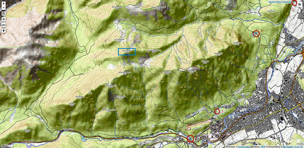
Trailhead Garmisch / Maximilianshöhe (Trailhead 3) – Kreuzweg - Stepberg trail to Stepberg Alm – trail to the summit; this is the main route.
Trailhead Untergrainau (Trailhead 4) – Kramerplateauweg – Gelbe Gwänd trail to Stepberg Alm – trail to the summit
A northern ascent from Enningalm via the north ridge is possible. You reach Enningalm best by bike from the trailheads Farchant Spielleitenweg (Trailhead 1) or from Garmisch / Pflegersee (Trailhead 2), following the forest road to the Alm, alternatively from the trailheads Griesen / Ochsenhütte or Graswang / Fürstenweg via the forest road and a trail to the Enning Alm
The ski route uses the north slopes to Enningalm. However, due to the long forest road ascent/descent to Enningalm, the route is not very frequented.
Red Tape & Accommodation
The German part of Ammergau Alps is a protected area (Naturpark Ammergauer Alpen)
There are no entrance fees or permissions required.
Please follow the below indicated rules:

Ammergau Alps contain many rare plant species, please respect them. Take nice pictures and let them grow.
Accommodation:
Mountain huts:
Gear & Mountain Condition
Hirschbühel can be climbed the whole year round. In spring, summer, autumn and in winter times with poor snow cover, Hirschbühel is an easy hiking summit on good maintained and marked trails, which requires normal hiking gear and – if there is snow – maybe gaiters.
The ski route requires avalanche gear as the north slopes can easily be prone to avalanches. Check the Bavarian avalanche bulletin here.
Weather condition:
Mountain Weather (Kramerspitz)
Valley Weather (Garmisch-Partenkirchen)
Maps
Alpenvereinskarte Bayerische Alpen, scale 1 : 25.000
number BY 7, Ammergebirge Ost, Pürschling, Hörnle
edition 2009, with trails and UTM grid
Topographische Karte, scale 1 : 50000,
number UK 50-50
Werdenfelser Land, Ammergebirge
Landesamt für Vermessung und Geoinformation, München
