-
 1884 Hits
-
 71.06% Score
-
 1 Votes
|
|
Route |
|---|---|
|
|
34.28327°N / 117.62615°W |
|
|
Mountaineering |
|
|
Winter |
|
|
Half a day |
|
|
WI2 / AI2 |
|
|
III |
|
|
Overview
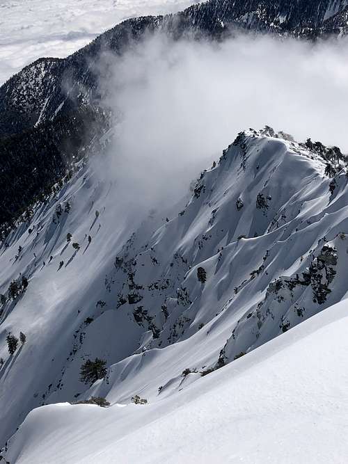
A route many people on the Devils Backbone trail walk by from the top and look down, most thinking - nobody climbs this? Well, they're wrong! Ascending the East ridge of 9,550' Mt. Harwood, this route essentially climbs up the very steep north facing slopes where the Devils Backbone meets Harwood, topping out on the little peaklets right near the saddle the Devil's Backbone trail comes near.
Preferably done with a good stable snowpack and snow/ice conditions, so solely during the winter months in the San Gabriels. Conditions without snow/ice are almost assuredly a lot of steep scree and loose/poor rock unsuitable for climbing.
Getting There
A northern approach is probably preferred, but descending is far more difficult with this starting point - see travel details for just about any northern route on Harwood/Baldy, utilizing Lytle Creek Rd. Following the main Lytle Creek drainage/wash WSW towards the NE face of Harwood. It allegedly will require a high clearance vehicle most of the year to reach starting point.
The only other viable approach in my opinion is what I did, starting from the Notch (park either at the Lift lot or Manker flats and make the road hike to notch). You gain the notch then head up to the Devils Backbone, where it starts to get interesting.
Route Description
Start North (Lytle Creek) - Tougher access, Easier approach, far tougher descent.
Start at Notch - Easy access, tougher/spicier approach, easy descent.
The exact couloir and route are easiest to understand if seen from the top beforehand - for the top of this route is commonly passed nearby by people ascending or descending the normal backbone trail. From the North, the approach should be simple - following the Lytle Creek wash SW directly leading to the NE face of Harwood, but requires arguably more gain.
The approach from the Notch side starts easy but gets a lot tougher because you will need to descend the back side of the backbone and traverse over toward Harwood to a lower elevation to then be able to climb the couloir back up to the ridge. Whichever means you prefer, from the notch side you need to descend the backside ( north) side of the Devils backbone to get to the bottom of the Couloirs. The terrain here is very steep, and I chose to descend down the north face of the backbone shortly after I got to the knife ridge part. You MUST be proficient with traversing and descending steep ice/snow terrain and have the appropriate gear for it. Its a lengthy traverse of 35-45 degree snow.
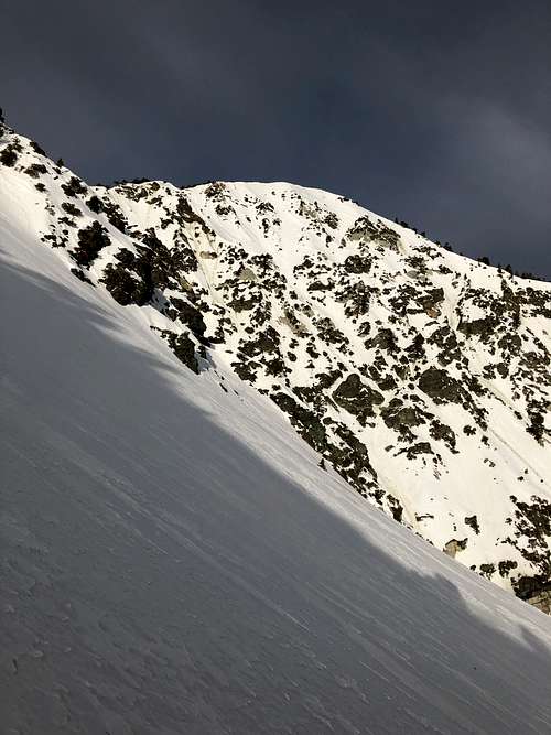
After the traversing you want to get to exactly underneath (north) of the saddle the backbone trail travels by at the top. You get to a number of steep snow/ice chutes divided by walls of rock, with a broad and steep snow slope underneath them plummiting down to the wash you'd approach from if coming from the North. It is difficult to pick the right chute/couloir because there are many, but not all lead to the special top out that makes the Hornsby Couloir. You need to aim to be directly under the saddle where the Backbone trail comes near at the top.
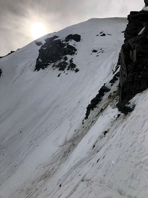
Once at the bottom of the couloir, which starts at roughly about 8400' you will ascend a very steep 600+ ft to the top of the ridge. The couloir will fork about 100-200' from the top, take the left to aim for the broad, but super steep faces of the peaklets that you will top out on! At most its a good 60-70 degrees, but mostly hovers around 45-50, depending on snow conditions.
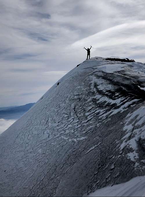
Once topped out on the Harwood east Ridge, you can either ascend Harwood or Baldy via conventional routes or simply descend. Descents to the North will be far more challenging because you will have to descend 1-2000' of steep snow back down to the wash you approached in. Descending to the Notch is the same as it always is from the backbone trail.


Essential Gear
Crampons, preferably two ice axes for steep snow pitch. You can choose to bring snow protection and rope but not necessarily needed.

