|
|
Trip Report |
|---|---|
|
|
38.07887°N / 109.72635°W |
|
|
Download GPX » View Route on Map |
|
|
Nov 14, 2020 |
|
|
Hiking |
|
|
Fall |
Horse Canyon - Canyonlands Needles District
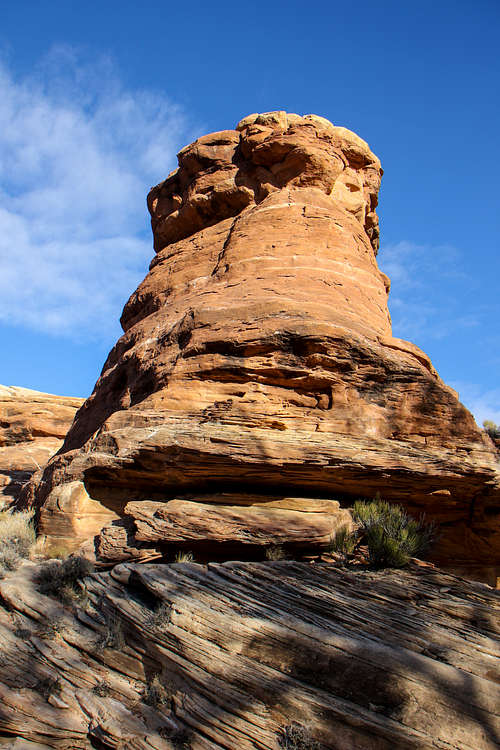
After last summer's backpack to Angel Arch via Upper Salt Canyon, we decided to return and do Horse Canyon during the cooler weather of Fall. We drove in and spent the night at Hamburger Rock Campground and got off to an early start on Saturday morning. The road out to Peekaboo is still closed, so we parked at the familiar gate off Cave Springs Road and began our hike from there. It was cloudy and cold with even a few snow flurries, but the forecast was for improving conditions and the weatherman was right because in another hour or so, the clouds had passed over and the skies were the familiar azure blue of the Utah desert. The scenery was familiar for the first two and a half miles as it was the same trail as Upper Salt Creek Canyon. We reached the Salt/Horse junction and headed up into Horse Canyon under the ubiquitously awesome Canyonlands scenery.

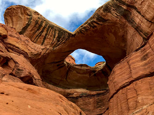
One mile up the Horse Creek Canyon Road/Trail, there is a very rewarding site called Paul Bunyan's Potty. There are actually two pothole arches (one of them is very large as the name indicates) and a small granary that is placed nicely in the canyon wall near the arch. We dropped packs and spent two hours or so here climbing around in the arch and exploring the area. There are rocks piled up in key locations that allow for getting all the way up inside the arch.




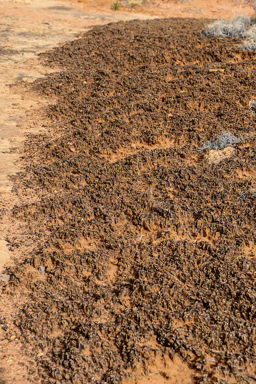
Cryptobiotic soil crusts are particularly intense in the sandy area in front of the arch. Try not to step on these little guys as they keep the dust down and prep the soil for other plants.


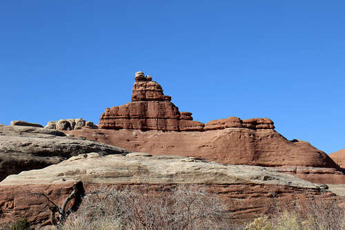
After enjoying this incredible place, we hefted our packs back on and headed deeper into Horse Canyon. Another mile brought us to the turn-off for Tower Ruin. We decided we would check this out on the way back. Slogging along the dry stream bed past characteristic Canyonlands scenery, the walls of Horse Canyon closed in once past Tower Ruin.



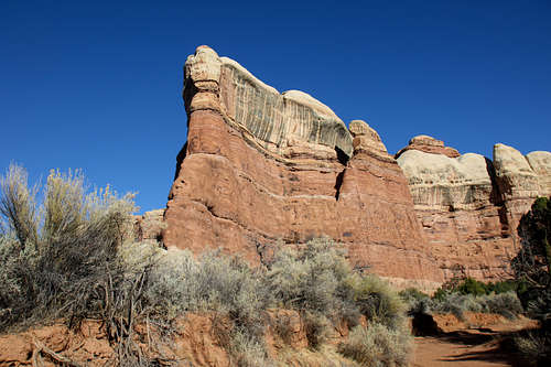

About three miles in from the Tower Ruin turnoff, we found a nice slick rock ridge above the trail to set up camp. We hustled down a side canyon to try to find the Thirteen Faces pictograph, but no joy there. We ended the evening back at camp with a nice dinner and early bedtime, so we could get up early to catch Fortress and Castle Arch in the morning light.

The next day, we were up before the sun and headed deep into Horse Canyon. We decided to go to Fortress Arch first and then see Castle Arch on the way back. A mile or so in we found the sign pointing to Fortress Arch.

It was another half-mile from here on a less defined trail up to the arch. Our early start paid off as the rock colors at sunrise were incredible. Just ten or fifteen minutes later and the colors start to become less vibrant.

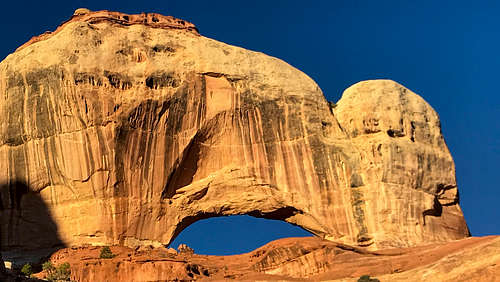
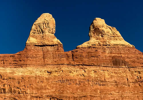
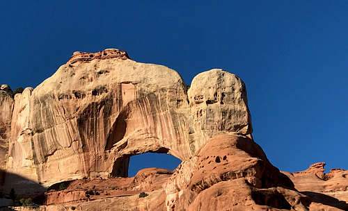

After climbing around to various viewpoints of Fortress Arch, we headed back to see Castle Arch. Once back to the main Horse Canyon Trail, the turnoff to Castle Arch is 1/5 of a mile back up the trail (Fortress Arch is the furthest out). A small sign pointed to the trail which would be easy to miss without the sign.

Castle Arch is up a different side canyon and the trail is even harder to follow. There is a ladder on one steep section. It's definitely worth the extra work as Castle Arch is the real star of the show in Horse Canyon. A beautiful, slender arch with a nearly perfect shape sitting high at the top of the canyon rim.
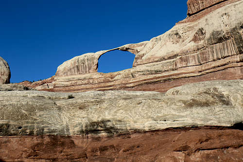
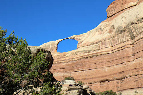

We spent a couple of hours here admiring this incredible site and then headed back to our campsite. Back at camp, we had some lunch, packed up, and started the long slog back to the trailhead.

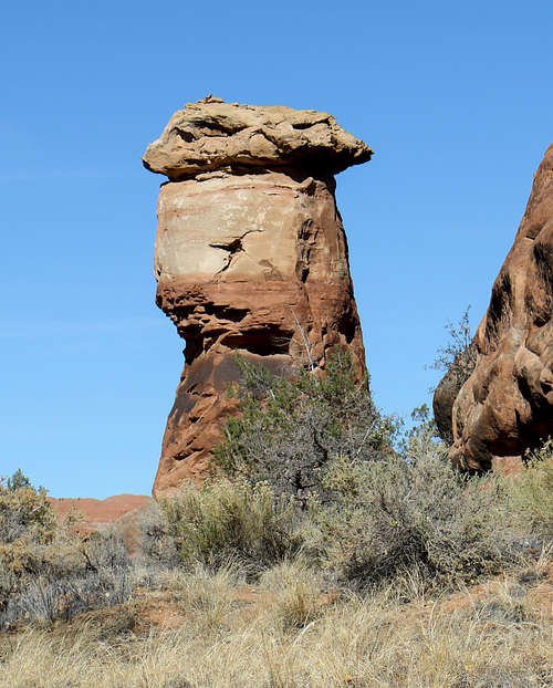
A couple of hours later, we were back at the Tower Ruin turnoff. Dropping packs, we hustled up to the ruin that sits in an incredible alcove high above the prairie in this very wide section of Horse Canyon. We spent an hour or so climbing around (you can get pretty close to the ruin, but it would be tricky to get all the way up to it).


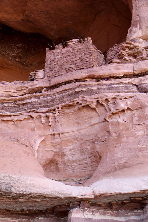

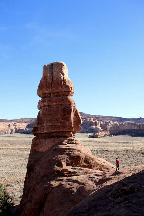
After a snack, we trundled back to the main trail and put our packs back on for the four and a half mile slog to the trailhead under perfect weather.
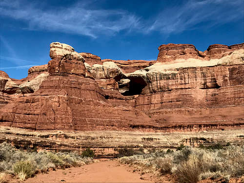

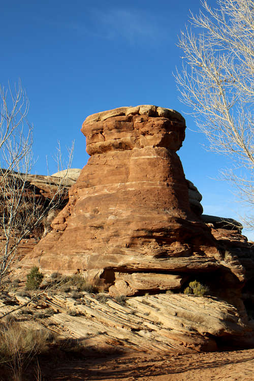
We made it back to the trailhead around 3:30PM and were back at US191 around sunset. Canyonlands is truly a magical place!
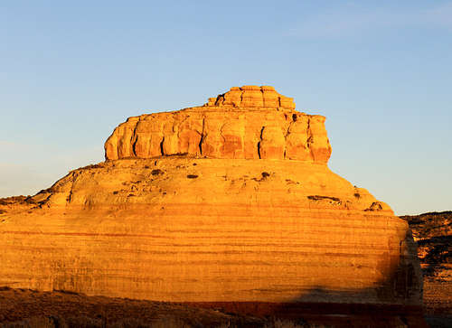
Distance: 26.25 miles
Elevation Gain: 891 feet
