-
 1917 Hits
-
 75.81% Score
-
 6 Votes
|
|
Trip Report |
|---|---|
|
|
40.23950°N / 105.6632°W |
|
|
Sep 4, 2022 |
|
|
Hiking, Scrambling |
|
|
Summer |
In Alice's Wonderland
“For in the day of trouble, He will keep me safe in His dwelling; He will hide me in the shelter of His tabernacle and set me high upon a rock.”
I happened across that verse from Psalm 27 the morning before this climb, not realizing how prophetic it would be.
My goal this day was not so much to climb Mt. Alice, but to hike deep into Wild Basin in Rocky Mt. National Park and check out the Lion Lakes area and the route up Alice, for a potential future climb with my son.
After spending the night at a cabin in the Allenspark area, I arrived at the Wild Basin trailhead shortly before 5 a.m. Plunged into the darkness by headlamp on a moonless night, under a bright canopy of stars. Instead of the trail that passes Calypso Cascades and Ouzel falls, I took the path that leads to the campsites trails, which saves some time. However, I got off-route at one point and had to bushwack back through dense, dark forest to find the trail. Pushed up through the forest for 6 ½ miles to Lion Lake #1, arriving just after 8:00. Once you emerge from the trees here, Mt. Alice is suddenly staring you down, beckoning you onward with its pointy summit and astonishingly sheer, vertical east face. Even though I've climbed many of the mountains around it, I was still taken aback by its stark beauty in this pristine landscape.
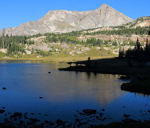
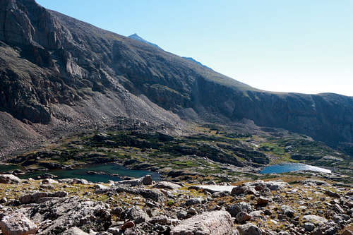
I felt like going further, so I passed Lion Lake #1 on the north and started up the rocky slope that leads up to the Continental Divide and the Hourglass route on Mt. Alice. The first part has cairns to guide you along the rocky slabs and scrub juniper thickets. But soon I could tell those cairns were leading me northwest to Lion Lake #2, not west to the divide. So I set out to the west to see how the route looked. By this time you’re above timberline, so it’s not hard to keep driving west up through the rocky shelves to where the slope smooths out as it leads up to divide. Looking back offers great views of Lion Lake #2, Snowbank Lake and the sheer, southern ramparts of Chief’s Head Peak. After so long in the trees, the drama that gave Wild Basin its name becomes apparent.
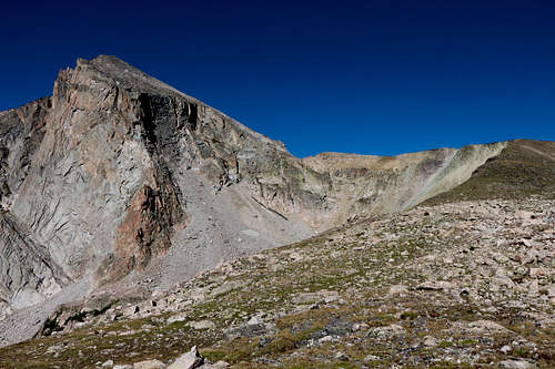
Once at the divide, I thought I’d go check out the Hourglass and see how exposed it is, as my son isn’t big on exposure, and I have my own limits with it as well. It’s not an easy walk, with its double fall line and rough terrain full of large boulders, but the exposure isn’t too bad. I’d classify it as easy class 3.
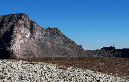
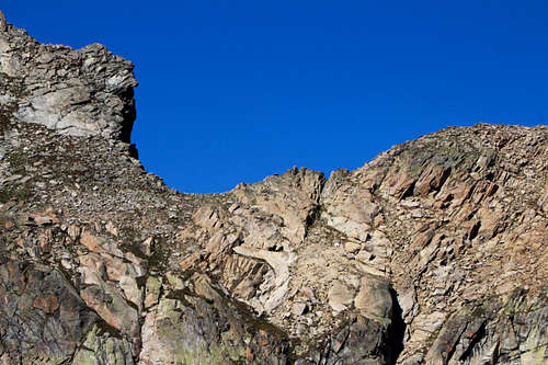
Once through the narrowest portion, the route steepens considerably as it ascends the north face of Mt. Alice. After coming so far, it seemed a shame to turn back now. But I had a decision to make – do I keep pressing on alone? I’m not real keen on highly committed solo climbs, and by now the whole area was feeling very remote and alone, especially if I ran into trouble of some kind. And I’m accustomed to being in remote places, especially deep in the San Juans.
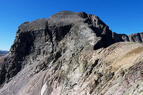
To top it off, I was worried about my stamina. I wasn’t exactly feeling sprightly by this time, and this 18-mile route was farther than I’ve ever gone in a single day. And then there’s the fact that I turn 59 next month. When I climbed the hardest 14ers, it was ten or more years ago. Did I even still have what it takes? I don't want to find that I'm out of gas, with a nine-mile down-climb and return trip ahead of me...
When doubts start swirling around my head, normally that means it’s time to pray about it. So I stopped, and just asked the Lord for wisdom on what to do and the stamina to make it down.
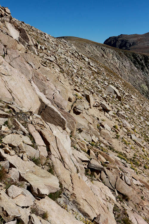
Perhaps as an answer to prayer, I suddenly noticed a hiker coming up the divide and approaching the Hourglass. He was making rapid progress and soon was ahead of me. On the steep north face, he chose the slabby scrambling route which is climber’s right rather than the rock-hopping make-your-own-route to the left. Somehow having another human on the mountain provided the encouragement that was needed, and I decided to press on.
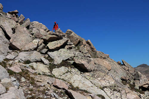
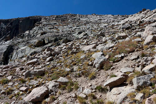
It was a steep ascent up 700-800 vertical feet, mostly class 2+ and a little class 3, but I arrived at the summit at 11:15 where I met Shawn, the young man from Denver who had climbed on ahead of me.
The summit panorama spans from Taylor and McHenry’s peaks to the north, to Long’s Peak and Mt. Meeker to the northeast, to Isolation Peak and beyond to the south. The view is quite different than from the more common viewpoints of these peaks.
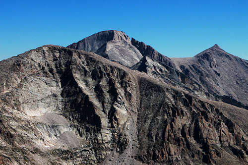
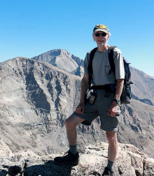
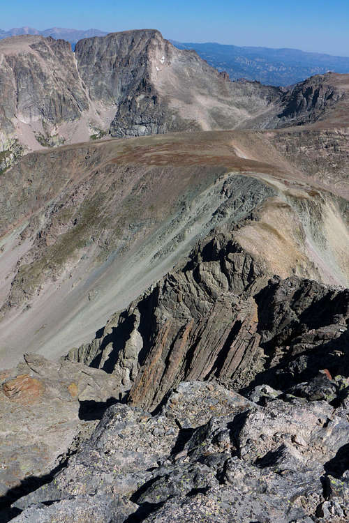
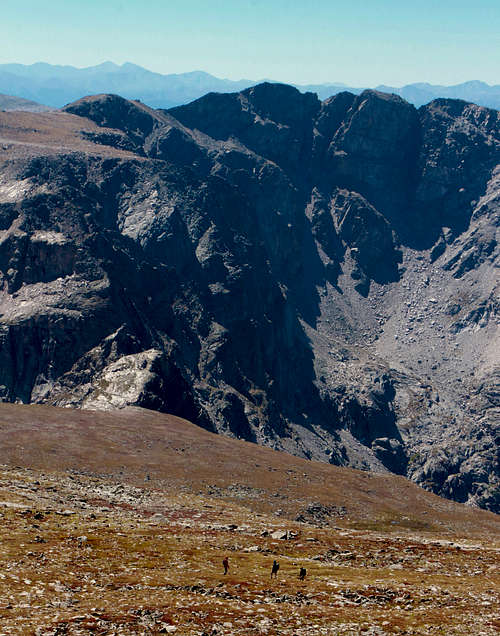
Having had our fill of the steep talus, about noon we opt for the gentle south face descent – even though we knew we’d pay for it with the 500-ft. nasty scree gulley below Boulder-Grand Pass. This 12,061-ft. pass lies in the saddle between Pilot Mountain (which is really just a sub-peak of Mt. Alice) and Tanima Peak. And, obnoxious though the scree gully was, I found myself "dirt glissading" some of it! If you have a pole to steady you, it’s the best way down that section.
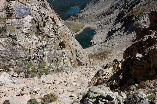
The scree gully leads to the high shelf of the Lake of Many Winds. And from there it’s a fairly steep descent down to Thunder Lake.
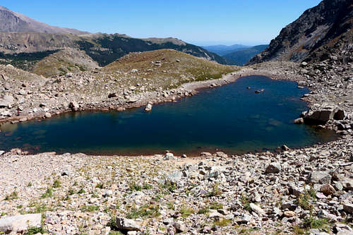
This route provides a nine-mile circle tour over the divide, eventually bringing you back to the Thunder Lake/Lion Lakes trail deep in Wild Basin. I was blessed with a warm, even hot, cloudless day. But because of the extended time high above timberline and the difficulty of a fast escape, it's critical to keep one's "weather eye" engaged on this route.
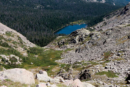
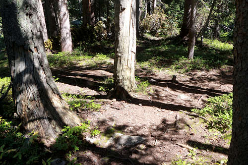
A word to the wise… A couple hundred yards before Thunder Lake there’s a trail junction with no signage. I took the right branch as it looked more heavily traveled, but it leads to a place where huge trees have fallen over it and the trail after that isn’t near as well traveled. So, I went back and it turns out the left branch is the “right” way.
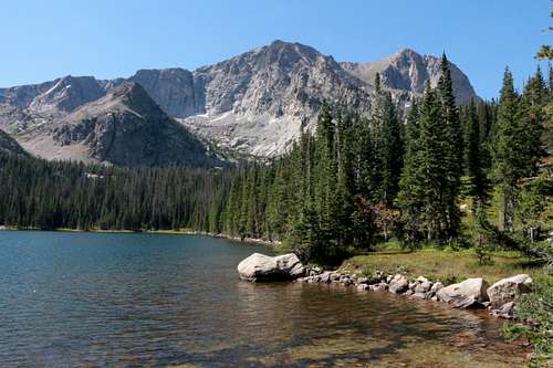
When I reached Thunder Lake just before 2:30 p.m., I was, well... spent, and in no mood for the 7-mile march to the trailhead.
Fortunately, a protein drink I’d been saving, a nice long rest and a chance to dip my bitterly complaining feet in the cool water revived me enough to make the long desccent through the forest. By the way... Ringed by several peaks, including Mt. Alice, this nearly deserted lake is simply gorgeous and a worthy destination of its own.
My GPS clocked my day at 19.6 miles, rather than 18, as I took a wrong turn in a couple spots. A very memorable day, although next time I’d rather use a high camp. But one of the campers up there told me those sites in the National Park are made available in March, and are gone in an hour. My brother, who has worked as a park volunteer taking those reservations, confirmed that.
Any peak ascent in Wild Basin is going to be a long, arduous day into the most remote areas of the park. But the rewards are certainly abundant for anyone who seeks beauty and solitude in the majesty of God's creation.
