Jolly Mountain Snowshoe 11-9-2013
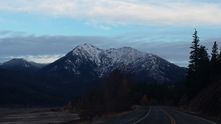
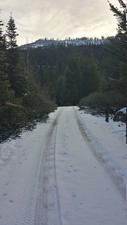
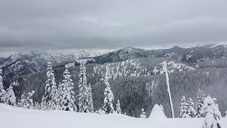
With the snow-line around 4000 feet, I though this would be the perfect time for an attempt at Jolly Mountain near Salmon La Sac. On the drive in along Lake Cle Elum, the morning sun lit up the snow that blanketed the French Cabin Peaks and Red Mountain. The NOAA predicted more snow by 11am so I was stoked get in some mountain views before then. To cut off some elevation and ease route-finding on the lower slopes I opted to take road 4315 rather than the Jolly Mountain Trail from Cayuse Horse Camp. Snow appeared on the road around 2500' and was solid by 3500', where I parked by a roadside campsite.

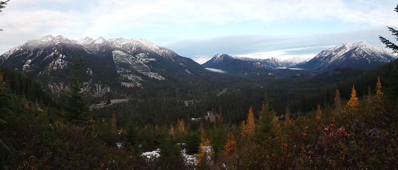
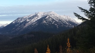
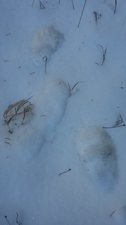
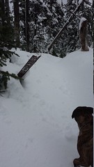
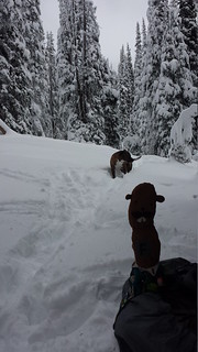
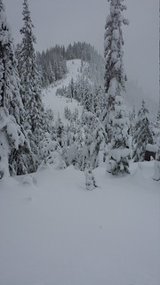
I left the truck at 8:00 and booted up the road with the dogs in tow, stopping at occasional clearings to take in the snowy peaks to the West. I donned snowshoes before cutting the last switchback below Trail #1340 from Sasse Mountain to the South. The trench created by the trail was just barely visible and fairly easy to follow up the ridge. We passed one set of bear tracks on the lower part of the road, and tons of deer and small mammal tracks on the ridge.
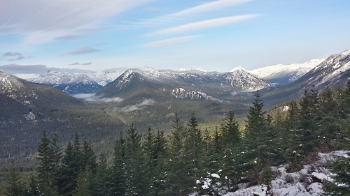
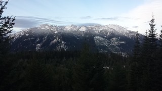


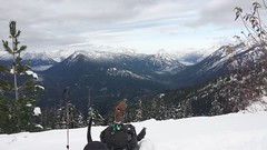

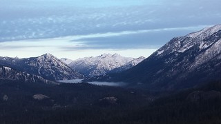
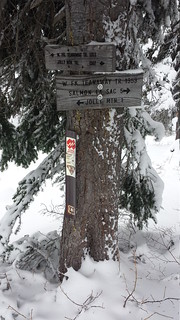
At 9:30 I could already see the forecast weather system crawling over the French Cabin Peaks toward me. At one clearing I got a peek at the lower slopes of Hawkins and Ingalls to the north. We reached the Jolly Mountain Trail junction by 10:30 as dark clouds enveloped the sky above. Less than a half mile later we passed the West Fork Teanaway River Trail #1353 and climbed into the clouds.
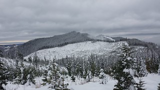

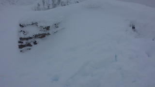
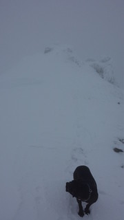
Above 5000 feet my snowshoes began to sink about 6 inches into the sugary wind-drifted snow. Light snow began to fall and wind speed picked up, thankfully most of the ridge was dotted by large trees that blocked most of it. After about 1 1/2 miles of traversing clockwise to the right side of a few bumps on the ridge we began the "two steps forward, one step back" game up the final 500' of elevation, following the trail's switchbacks from time to time. A few small patches of bare rock poked through the snow near Jolly's summit, saving me some high stepping. At the top I could just make out the shape of a half-buried wind block built from stacked rocks. The wind was intense and my toes were beginning to get cold so we didn't stay long, at least I wasn't missing out on any views.


The descent was much faster and less exhausting as usual. I was surprised to find many of my tracks had been completely covered by new snow and wind-drifts in under 2 hours. We took a short break under a patch of fir trees near the Jolly Mountain Trail junction. I cut straight through the switchbacks on the road until snow no longer covered the brush around 4000 feet, when the snow turned to rain. Not the best weather for a summit, but around the Pacific Northwest you have to take what you can get!
~12 miles round trip
4600' elevation gain
5 hours up
9 hours car-to-car
My Blog
Comments
No comments posted yet.
