
|
|
Mountain/Rock |
|---|---|
|
|
35.85140°N / 121.3209°W |
|
|
Hiking, Mountaineering |
|
|
Spring, Summer, Fall, Winter |
|
|
3499 ft / 1066 m |
|
|
Overview
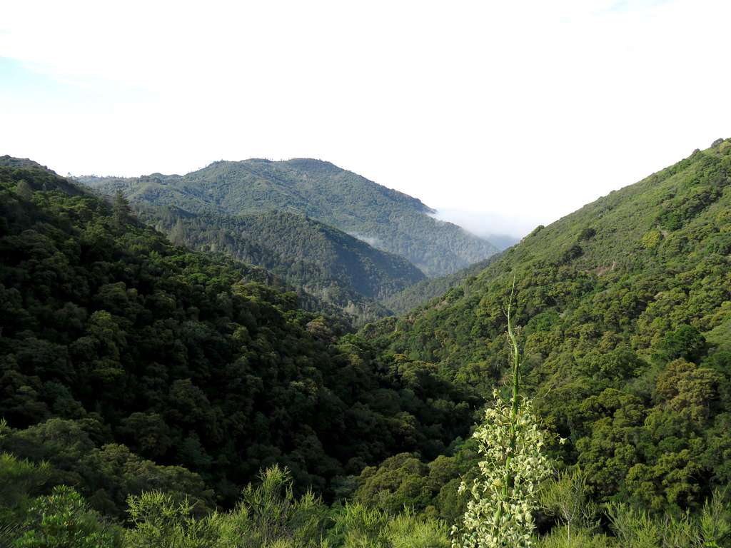
Lion Peak rises in the coastal mountains of California north of the community of San Simeon (a little closer to San Francisco than Los Angeles). With a distance of 3.8 miles from the Pacific Ocean, Lion Peak sits at the northeastern end of Salmon Creek Canyon. A trail starts on California Coastal Highway and goes 5.8 miles up Salmon Creek Canyon to its northern end on top of a ridgeline where a dirt road runs. Hiking the road 0.8 miles will get you to a spot 150 vertical feet below the summit of Lion Peak. The slopes of the summit are covered by a dense growth of bushes. I am not aware of any paths going from the road to the summit. I ended up doing extreme bushwhacking to reach a ridgetop 30 vertical feet below the summit. Further bushwhacking was not worth the effort to me.
Getting There
From San Simeon California, drive 18.8 miles north on Route 1 to the signed Salmon Creek Trailhead. Roadside parking is available.
Route
Trailhead Elevation: 280 ft
Roundtrip Hiking Distance: 13.5 miles
Total Elevation Gain: 4060 ft (including trail ups and downs)
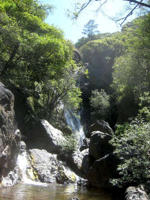
300 ft after the parking area, the trail splits. Left goes 400 more feet to reach Salmon Creek Waterfall.
The main trail goes right making many twists and turns climbing the slopes. View of Route 1 and Pacific Ocean.
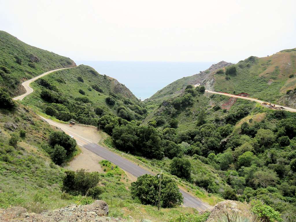
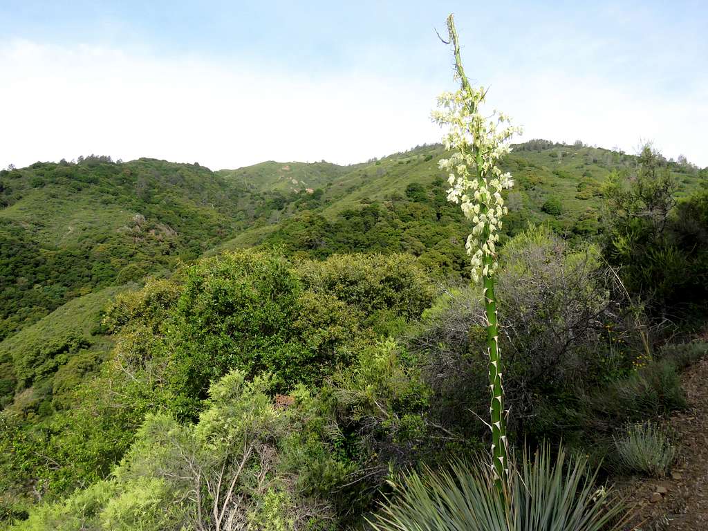
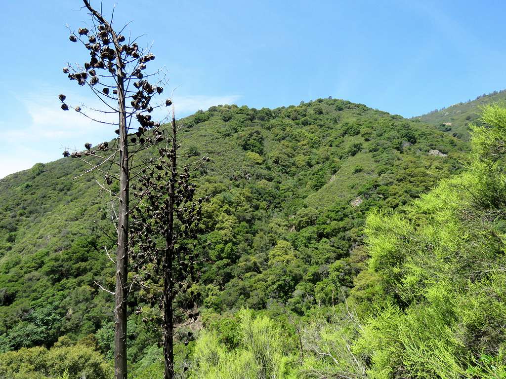
In only 0.8 miles, the trail climbs 800 vertical feet to reach an elevation of 1100 ft. Flowers in an open area.
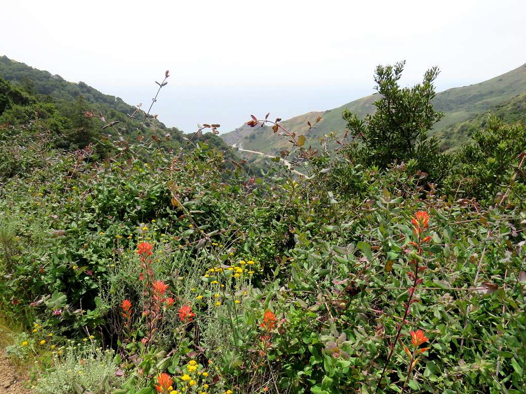
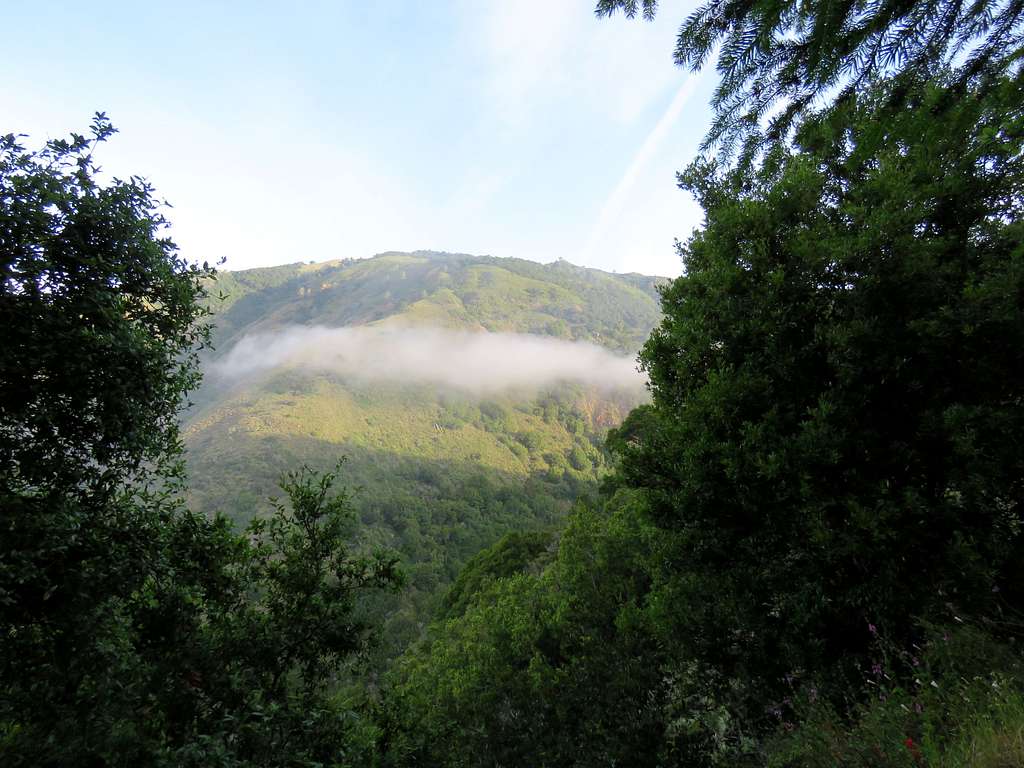
Clouds often climb the lower slopes.
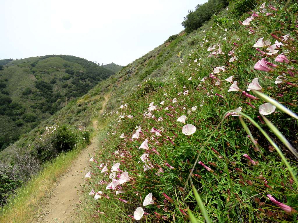
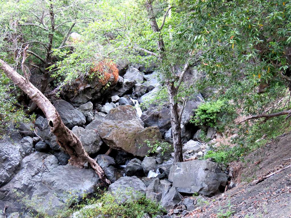
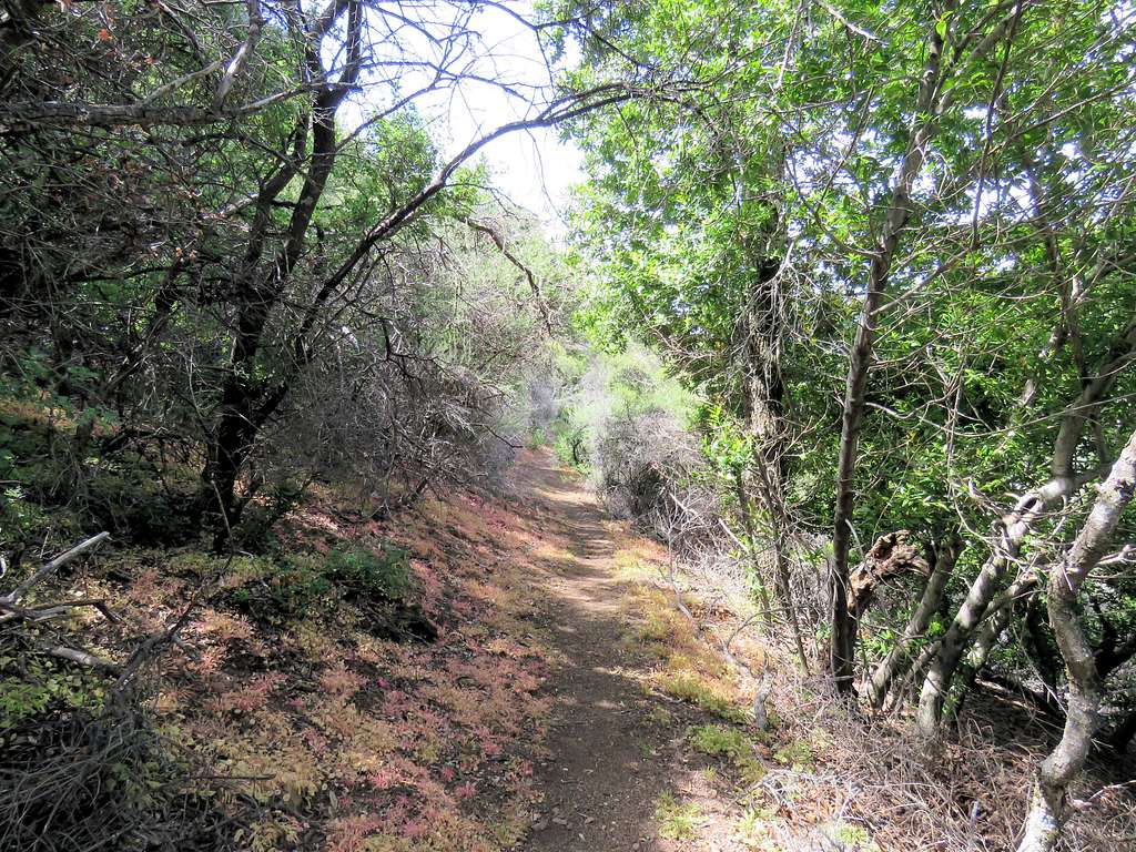
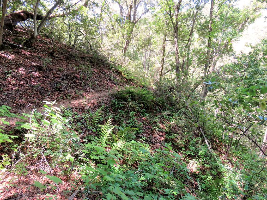
The trail then enters the canyon of Salmon Creek traversing its southeastern slopes a few hundred feet above the creek. For the next 1.1 miles, you will be mostly in a forest not gaining or losing much elevation. After the junction with Spruce Creek Trail, Salmon Creek Trail goes down 120 vertical feet crossing a stream to reach Spruce Campground.
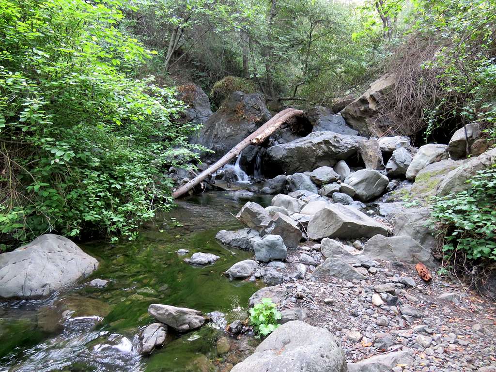
You will then go up steeply and after about 3.2 miles from trailhead reach Estrella Campground where another side stream has to be crossed (no difficulties on the day that I did this hike).
Continuing on the trail in the forest up Salmon Creek Canyon.
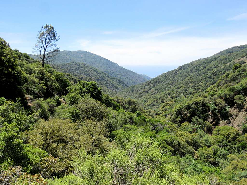
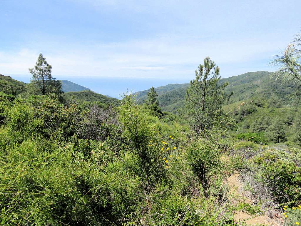
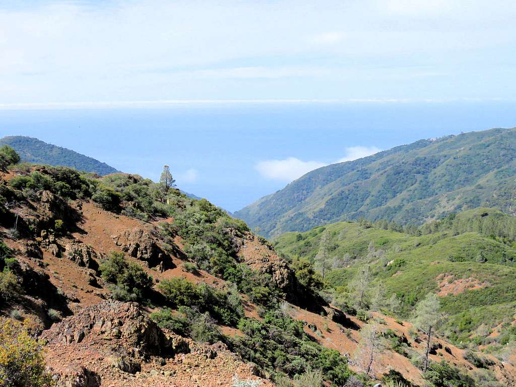
Looking back at Salmon Creek, Pacific Ocean and Mars Mountain on the left.
Silver Peak rising out of the Pacific Ocean.
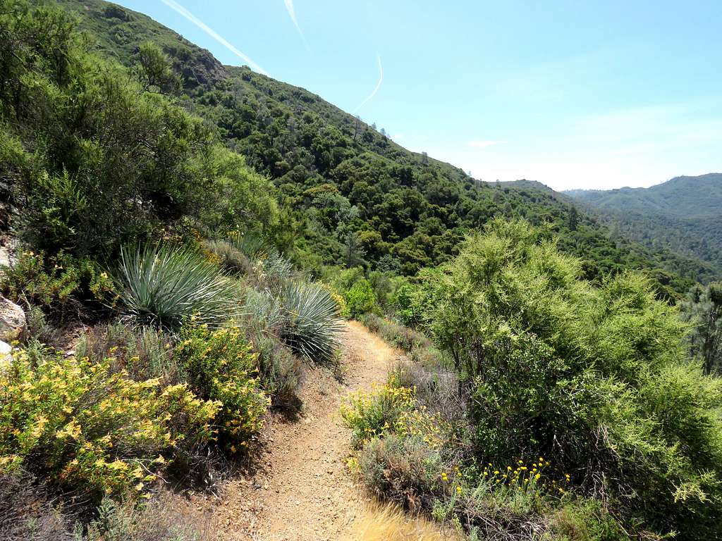
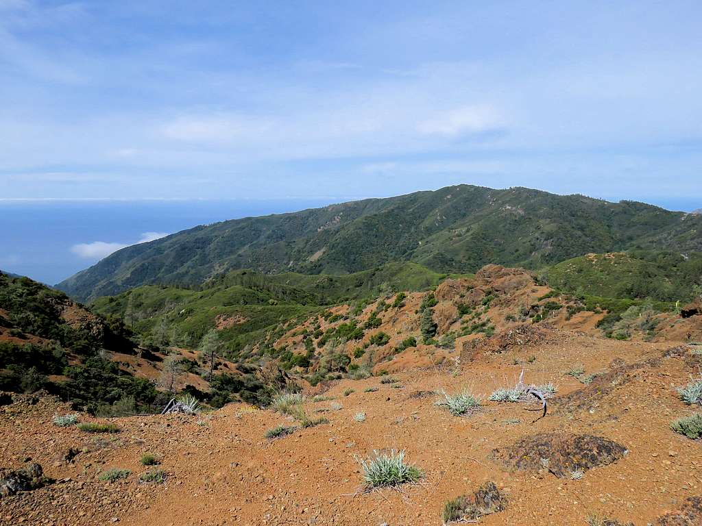
5.8 miles from trailhead, you will reach South Ridge Road (dirt road) at an elevation of 3210 ft. I did not see any person or vehicles on that road. You can look west to see the Pacific Ocean and east to see the central valley of California.
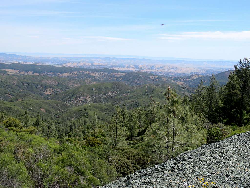
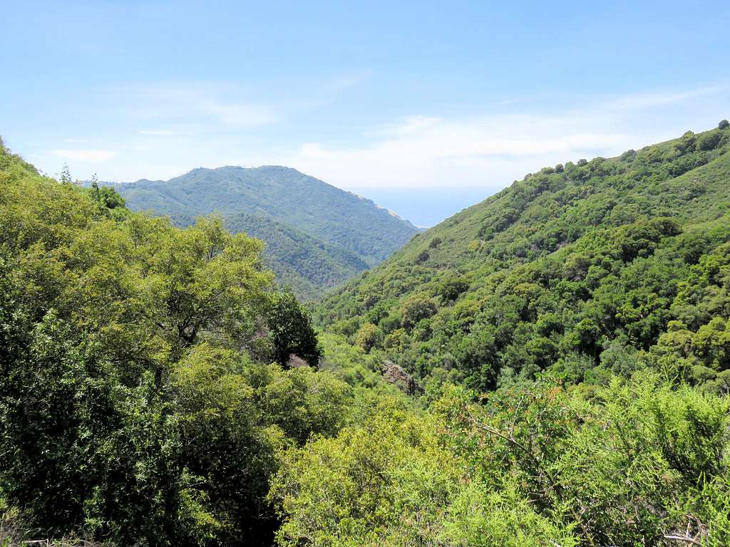
Head southeast on the dirt road going up and down in elevation. The summit of Lion Peak will come to view.
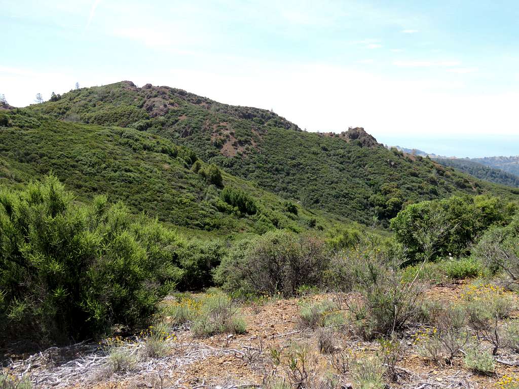
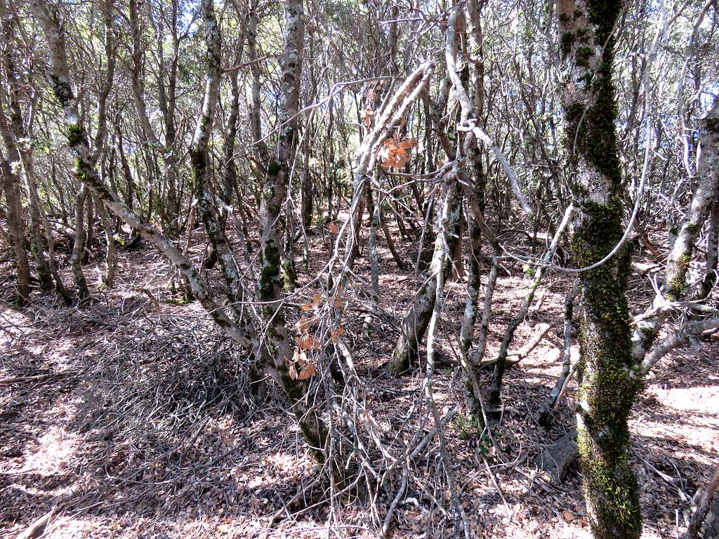
The road takes you to a saddle 150 vertical feet below the summit of Lion Peak. I did not see any paths from the road to the summit. The slopes of the summit were covered by a dense growth of bushes. I left the road bushwhacking my way up the slopes. At first the bushes were taller than me, then they became shorter and denser.
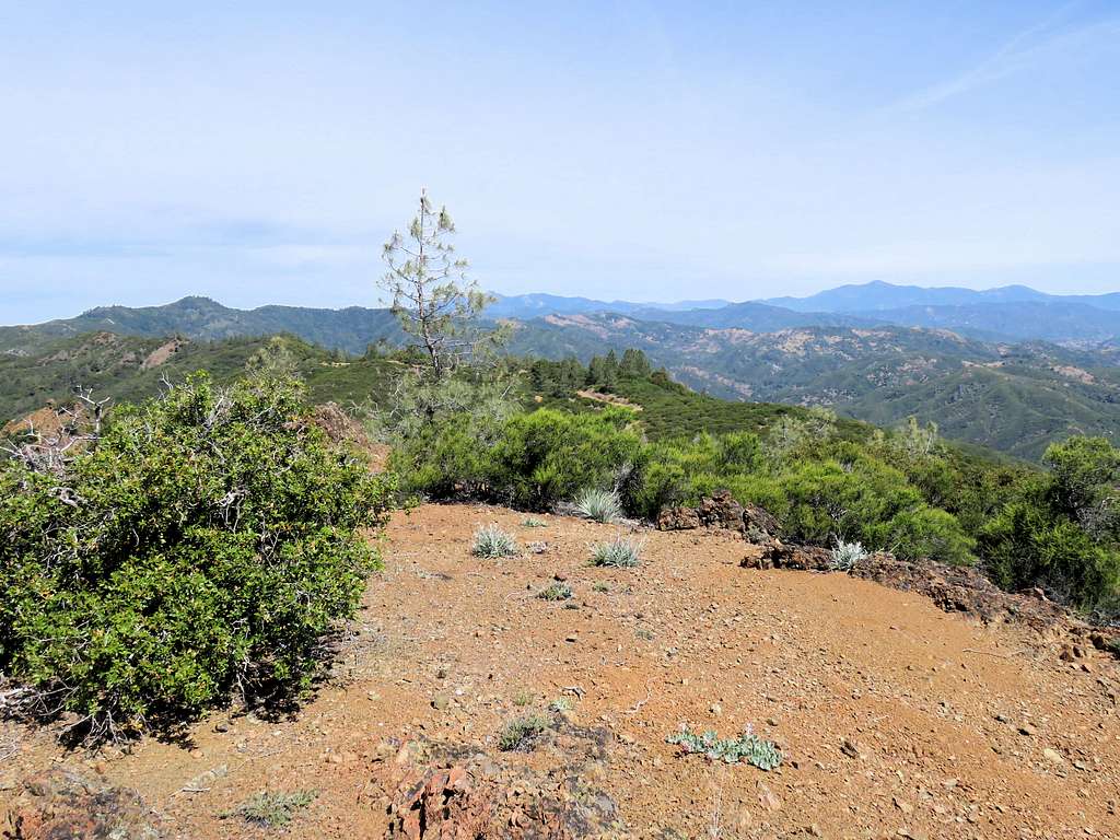
Reaching a clear spot 30 vertical feet below the actual summit, I decided to go no more.
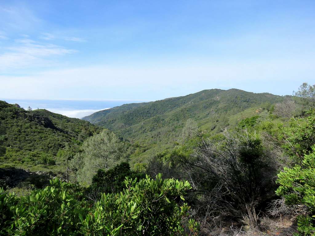
Views from the top.
Zoomed view of the Pacific Ocean.
Silver Peak.
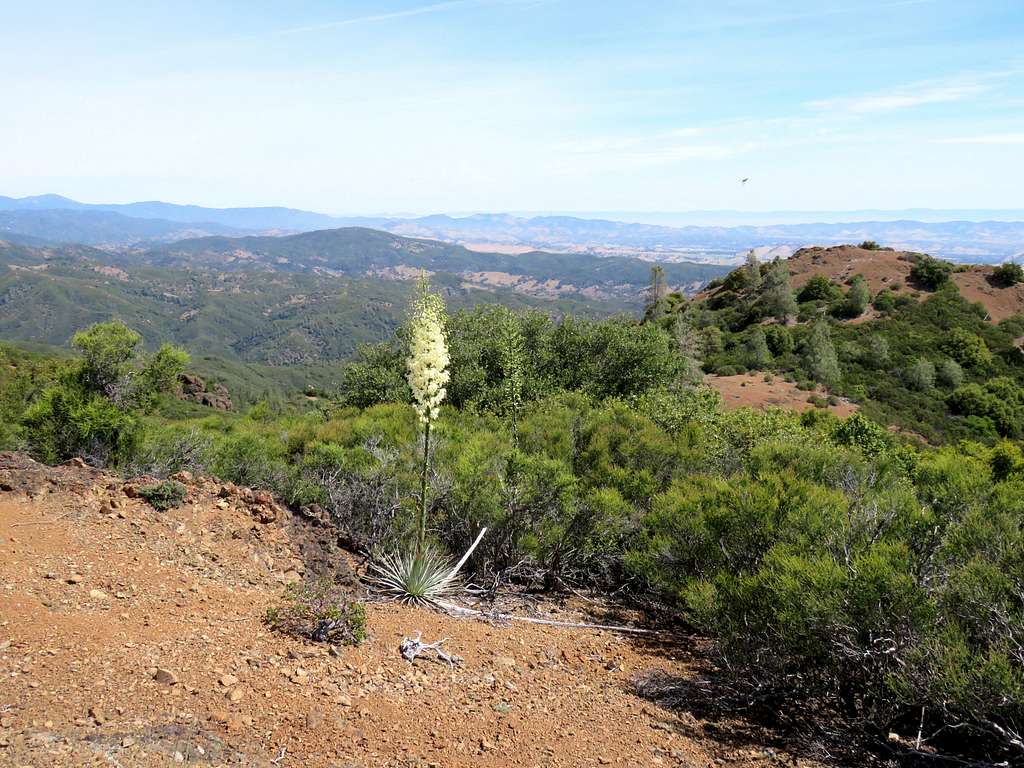
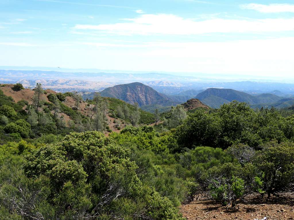
Looking inland, north, east and southeast.
Red Tape
Day hikes need no permits.