|
|
Mountain/Rock |
|---|---|
|
|
35.30400°N / 82.794°W |
|
|
3969 ft / 1210 m |
|
|
Overview
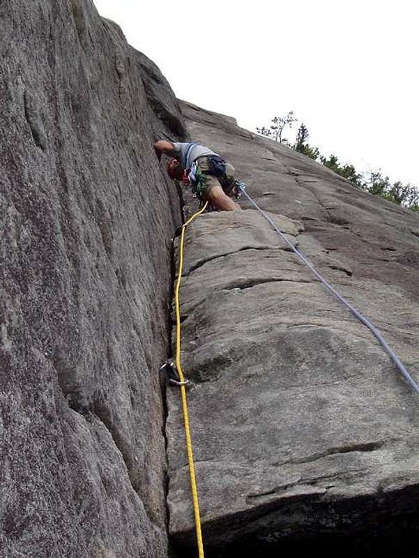
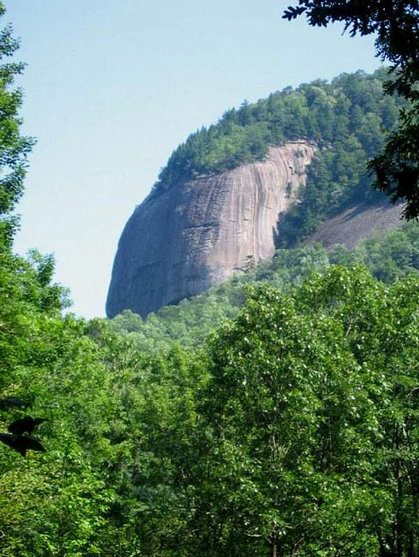
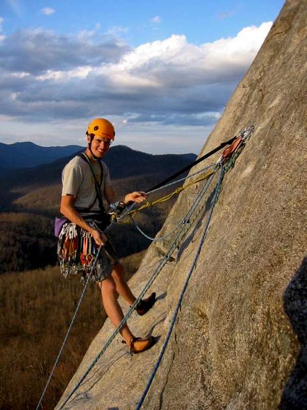
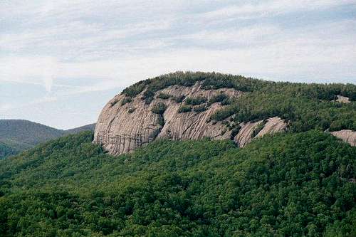
Just about 30 feet shy of 4K feet in elevation, Looking Glass Rock is dwarfed by its nearby 6K foot neighbors. Normally, it would be lost in a sea of high country. However, Looking Glass Rock is composed of Whitesides granite and bears some of the highest, sheerest cliffs in the East. Some of the finest climbing on this side of the continent can be had there. For those of us who don't climb, Looking Glass Rock is a phenomenal sight, whether viewed from as far away as the Blue Ridge Parkway, from closer up via a Forest Service road, or from various points on the mountain itself.
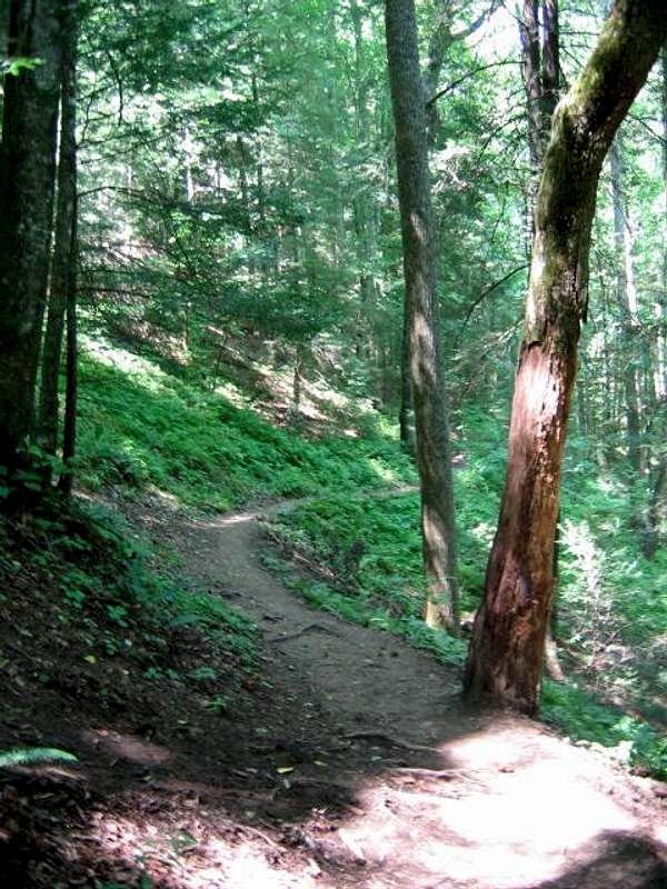
Some of the cliffs at Looking Glass rise 500 feet. It's a truly great eastern peak, and one I had ventured near dozens of times and yet had never hiked until August 3, 2004 (today). One of the best hiking experiences I've had in quite some time. I can highly recommend this mountain to all hikers and climbers. The day I was there, hiking to the top, there were climbers at the edge of the cliff face.
The peak gets its name for the ice that sometimes forms on the cliffs, giving it the appearance of a gigantic looking glass.
Getting There
From I-26 take 64 West to Hendersonville. At the intersection with 276, take 276 North. Pass the Pisgah Forest Ranger Station and Visitors Center and go about three miles to Forest Service Road 475 (you can only go left, toward the fish hatchery). About one-half mile on the right, see the parking area for the Looking Glass Rock Trailhead. Arrive early, especially in summer. On the other side of the road there is a rather large and popular swimming hole, so the parking lot fills up with people arriving to go for a dip. (Also great to take a swim after a long hike. I did!)
Red Tape
None. Some of the climbing routes are closed during peregrine nesting season.
When To Climb
All year. I've spoken to climbers who use the cliffs year-round. I would personally think it would be prohibitively dangerous during icy conditions. But I'm not a climber. As far as hiking, I would steer clear of the cliff faces in snow and ice. If you started sliding, you could easily get killed.
An excellent climbing page specific to Looking Glass Rock can be found here.
Camping
There is camping at the developed Davidson River Campground on 276 near the Forest HQ. There are also primitive camping spots all along the various Forest Service Roads near Looking Glass. The ones along the Forest Service roads are free. Not sure about fees for the Davidson River Campground. I'll post as soon as I know how much they charge.
Mountain Conditions
Check the weather for Brevard, NC. Subtract three to five degrees for the summit.
External Links
- Climbmax Mountain Guides
This is the premier climbing guide service in western NC. Stuart Cowles, owner, is a very knowledgable and experienced guide who will custom-tailor any trip to match your desires. From top-roping to multi-pitch rock routes to alpine rock and ice throughout the world, these are the guys to contact! - http://www.n2backpacking.com
Follow this link for more photos of Looking Glass Rock










BobSmith - Aug 4, 2004 5:12 pm - Hasn't voted
Untitled CommentIf you know much about the climbing routes, please add them. I know there are some good ones, but I don't know anything about technical climbing.
BobSmith - Aug 5, 2004 8:21 pm - Hasn't voted
Untitled CommentFor adding The Nose route. I'm not a technical climber (merely a hiker), so I was hoping someone who'd done some climbing would add some routes. Thanks again!
gato - Aug 4, 2004 12:19 pm - Hasn't voted
Untitled CommentFor rock climbing, fall and winter are the best times of year, especially on the south face. Summer is almost too hot, and the bugs are out of control. Try climbing on the south face in the summer and you'll not only sweat out about a gallon of water every hour, your shoes won't stick because of the humidity and searing temps on the rock.
The north face is more bearable in the summer, but the bugs will probably have you running for cover (and your sanity!)
BobSmith - Aug 4, 2004 5:12 pm - Hasn't voted
Untitled CommentIf you know much about the climbing routes, please add them. I know there are some good ones, but I don't know anything about technical climbing.
BobSmith - Aug 5, 2004 8:21 pm - Hasn't voted
Untitled CommentFor adding The Nose route. I'm not a technical climber (merely a hiker), so I was hoping someone who'd done some climbing would add some routes. Thanks again!