overview
This mountain is part of the vast
plateau of Folgaria . The reliefs of this plateau are more rounded than the nearby Pasubio but not less interesting.
Along the ridge of the Dosso del Sommo and Campomolon there are peaks a little challenging for those who practice ski mountaineering:
Spiz Tonezza and
Monte Maggio.
During the first World War, Mount maggio represented the border, the watershed between the war on Piccole Dolomites ,Pasubio in front of the Highlands. So far, in fact, arrived control of territory by the Austro Hungarian fortresses placed on the heights of Folgaria, and Lavarone Luserna.
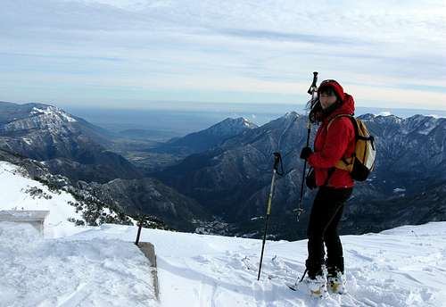
![User Profile Image]() monte maggio
monte maggioborder and access
South: Vallagarina - Rovereto - Val di terragnolo - Serrada.
West:Val d'Adige - Calliano - Dietroberseno - Folgaria.
North: Valsugana - Levico Terme - Monterovere - Passo Vezzena - Luserna.
East: Val d'Assa - Altopiano di Vezzena -Passo Vezzena - Luserna
Valdastico - Pedemonte - Lavarone
Getting There
From Rovereto, exit
Highway Brenner, drive along the Terragnolo valley until
Serrada. From here you continue to Fondo grande and Fondo Piccolo and
Coe Pass up to
Malga Zonta, the point of departure for many routes
![Monte Maggio]() Monte Maggio
Monte Maggioroutes
Monte Maggio from Serrada
The excursion start near the village of Serrada 1250m., following the trail
No. 136 which, through a convenient forest road, along a stretch for the "
Trekking dei Forti" and brings in about an hour and forty minutes at the top of the
Dosso del Sommo1670m. , near which are the ruins of
Forte Dosso delle Somme.
Continuing with trail
No. 136, follow an easy trail that leads to the
Bus de la Nef (mt. 1599). From here you climb along an easy trail
(trail 136B), which brings in about one hour at the top of Monte Maggio (mt. 1853).
Monte Maggio from Borcola Pass 1182m.
From Piazza village in
Val di Terragnolo drive to the Borcola Pass.It is closed in winter with snow. From the Pass climb in an easterly direction towards the track of the path
European E5 (marked with the sign 124)till the
Mount Borcoletta 1759m., continue along the crest till the
Coston dei laghi and the top of the Monte Maggio 1853m.
This is a paths of ski mountaineering but a bit dangerous along the crest.
![Alta via delle Alpi Vicentine]() Alta via delle Alpi Vicentine
Alta via delle Alpi Vicentine | ![Monte Maggio]() Monte Maggio
Monte Maggio | ![Monte Maggio]() Monte Maggio
Monte Maggio |
Red Tape
Neither permits nor fees required
links
TRENTINO ON LINE
100 KM DEI FORTI
MONTAGNA CON AMORE
ISTITUTO CIMBRO
![Alta via delle Alpi Vicentine]() Coston dei Laghi
Coston dei LaghiMountain Conditions
For weather and avalanche conditions in Trentino look at this pages:
wetterzentrale
Meteotrentino
Meteo Alpin
Società Meteorologica Italiana
![Monte Maggio]() Monte Maggio
Monte Maggio

 monte maggio
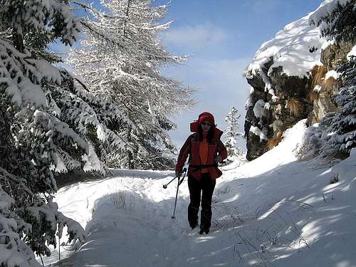 Monte Maggio
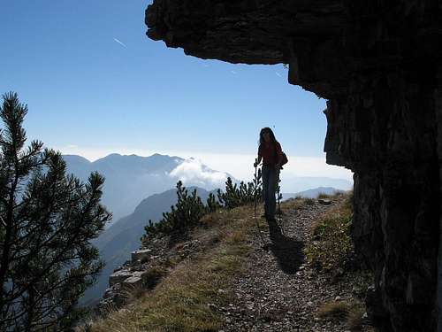 Alta via delle Alpi Vicentine
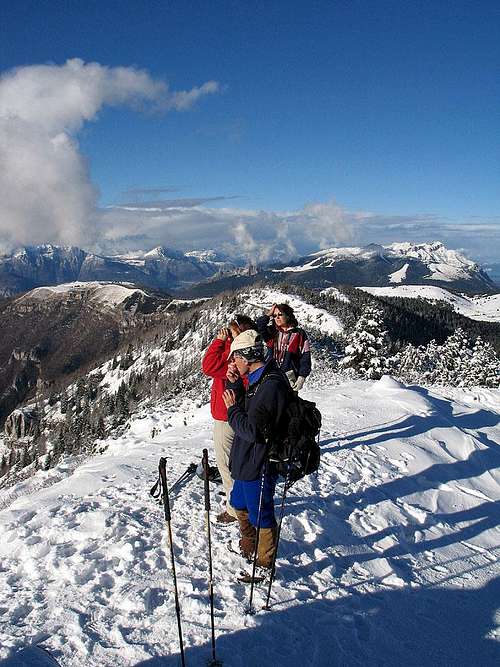 Monte Maggio
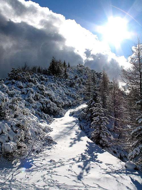 Monte Maggio
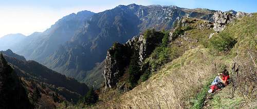 Coston dei Laghi
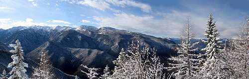 Monte Maggio