-
 12349 Hits
-
 75.81% Score
-
 6 Votes
|
|
Route |
|---|---|
|
|
39.12426°N / 108.40928°W |
|
|
Hiking |
|
|
Spring, Summer, Fall, Winter |
|
|
Half a day |
|
|
walk-up, some exposure |
|
|
Overview
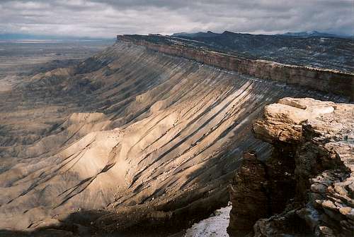
Mount Garfield dominates the view from I-70 as you pass it about 10 miles east of Grand Junction. It is basically a massive badland butte, and it is the highest point of the Book Cliffs that run from western Colorado into eastern Utah. The main page gives the essential information-- the trail is about 2 miles one way and gains about 2000'. The purpose of this route description is just to give some additional detail about the route itself.Getting There
Follow the instructions on the main page. However, be aware that there are two Palisade exits. The western one, about ten miles from Grand Junction, is the one you want. The problem with taking the eastern one is that you will find a G7 road nearby, but it is not the same G7 road that takes you to the trailhead. But because I found that G7 road even though it was not exactly where my guidebook said it would be, I figured I was okay and the book was wrong. And since it was dark and raining, I did not have the mountain itself to serve as a visual guide. My G7 road dumped me onto a private road that was unmarked as such, and the property owner was not friendly at all. Dismayed and thinking access had changed since my guidebook's publication, I found my way back to I-70 and resumed heading west. In a few minutes, I found another Palisade exit, and this one took me where I needed to go exactly as my guidebook (and the instructions on the main page) indicated.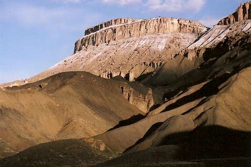
Trailhead View
Route Description
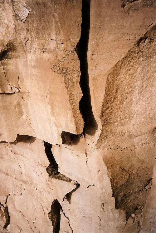
For a couple minutes, the trail heads across a flat area until reaching the base of a steep shale ridge. Then the trail goes straight up that ridge. It is very steep, but the views in all directions are excellent and compensate for the effort you're expending. The ridge was a little slippery from the previous night's rain and snow, but it was not dangerous. Heavier precipitation might make climbing this ridge highly inadvisable, though.
The ridge gives way to a rocky slope soon, and you may oocasionally use your hands to steady you as you climb. After about a mile of hiking from the trailhead (and gaining about half the elevation, too), you will reach a mostly level bench that provides a gentle stroll and nice views for a few minutes as you catch your breath and approach the next steep climb. That climb takes you into and through a burned area.
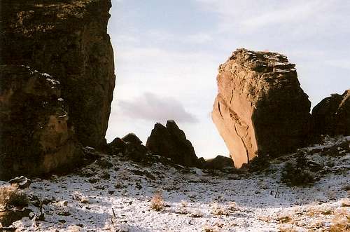
The next stretch of climbing is the last significant one and a very exciting one, too. At times, you will be inches from the edges of sheer cliffs, and you will have a spectacular perspective of the badlands below you. Admire all this, but watch where you're putting your feet. The trail reaches a saddle, and from there it's less than a half-mile of mostly easy walking to the summit.
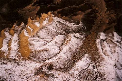
You will not look out upon a scene of unspoiled wilderness, but the views of Grand Mesa, the Book Cliffs, and the surrounding badlands are excellent and inspiring. Depending on your point of view, you'll find the irrigated lands of the Grand Valley impressive or saddening, but they're nevertheless there. If you concentrate on the awesome forms and colors in the immediate vicinity, though, you'll be happy enough.