
|
|
Mountain/Rock |
|---|---|
|
|
44.27580°N / 71.1704°W |
|
|
4675 ft / 1425 m |
|
|
Overview
Mt. Hight from Carter Dome
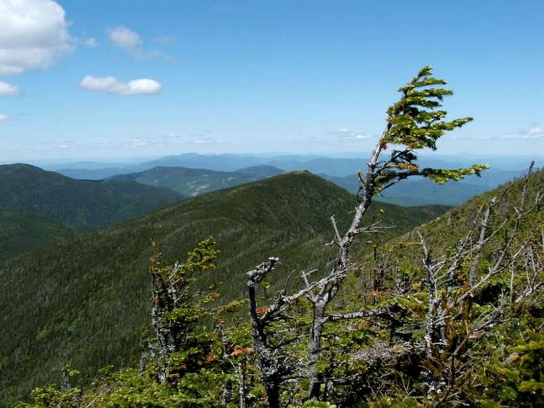
Mt. Hight a subsummit of Carter Dome is very special because of the great 360 panorama that the open summit deliver. Though nearly 170 feet shorter that that of Carter Dome the summit is completely exposed and has great view of both the Presidentials to the west and the Baldface Range to the east. To the north lies the Carters and Moriah. Though the summit is often done in a loop with Carter Dome, the summit can easily be done by itself.
There are two ways to get to the summit of Mt. Hight. The first way from the south requires beginning from the Nineteen Mile Brook Trailhead is a 3.9 mile hike in on the Class 1 Ninemile Brook trail to the Carter-Moriah Trail rough 0.1 mile before the hut. From there take the Carter-Moriah Trail (very steep, Class 2-3 for the first 0.7 miles but good footing in summer; the rest of the trail is class 1) past the summit of Carter Dome to the bald summit of Mt. Hight.
The second way is to take the Nineteenbrook trail 1.9 mile to the Carter Dome Trail. Then take the Class 1 but moderate and steady climb up the Carter Dome Trail to the Carter Moriah Trail 0.6 mile from the summit of Mt. Hight. From there go up the Class 1-2 Carter Moriah Trail (moderate to steep but not as steep as from the south) to the top of Mt. Hight.
This mountain can be done as a loop trail. Click here for a great loop description by CharlesD.
 |
 |
 |
Getting There
VIA NINEMILEBROOK TRAILHEAD. From Jackson, New Hampshire. Take NH Rt. 16 north from Jackson. Drive past the Pinkham Notch AMC Headquarters and the Mt. Washington Auto Road. The Nineteen Mile Brook Trailhead is roughly a mile north on your right.
Red Tape
White Mountain Mandatory Parking Fee! Click here for more information.
When To Climb
This mountain can be climbed at anytime. However in winter I would strongly advise caution on the very steep section of the Carter-Moriah Trail south of Carter Dome. Crampons and trekking poles are required if climbing this peak.
Camping
If you are looking for hut camping check out AMC Carter Notch Hut. It is located 2 miles south of Mt. Hight.
Mountain Conditions
The Mount Washington Webcam can give you an idea of current conditions in the White Mountains.
Here are two websites that will provided you the best information on conditions on Mount Hight.
Current Trail Conditions
Weather Forecast
Here is a link to a weather forecast for Higher Summits of the White Mountains .
This another link to the weather forecast on the Mt. Washington Valley.
Summit Picture Log
Post all hero picture here!