Mount Si to Blowdown Mountain and Dixie Peak
View larger size in new window
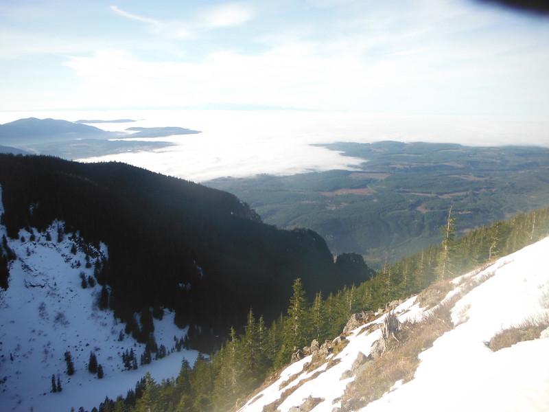
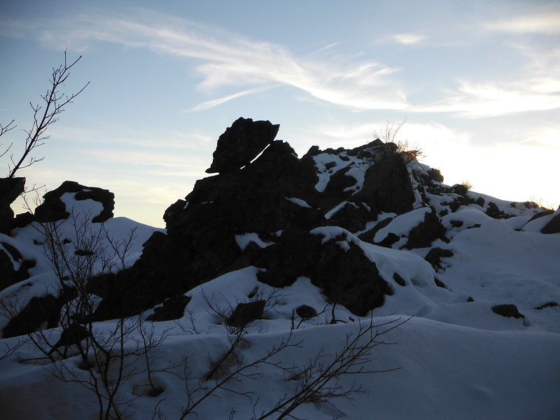
We arrived at the new Mount Si trailhead at 6:30 as a group of Boeing Mountaineering Course students were signing in for their evaluation hike. I used my headlamp for the first mile or so until the rising sun began to poke though the trees. Snow began on the trail at 2 miles and was steady after 3. As we gained 3500' of elevation the temperature rapidly rose as a result of an extreme temperature inversion in the region. After a short break for pictures and a snack by the rocks near the top, we headed around the back of the haystack.
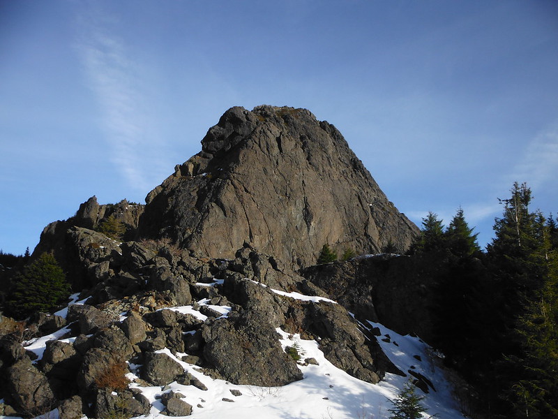
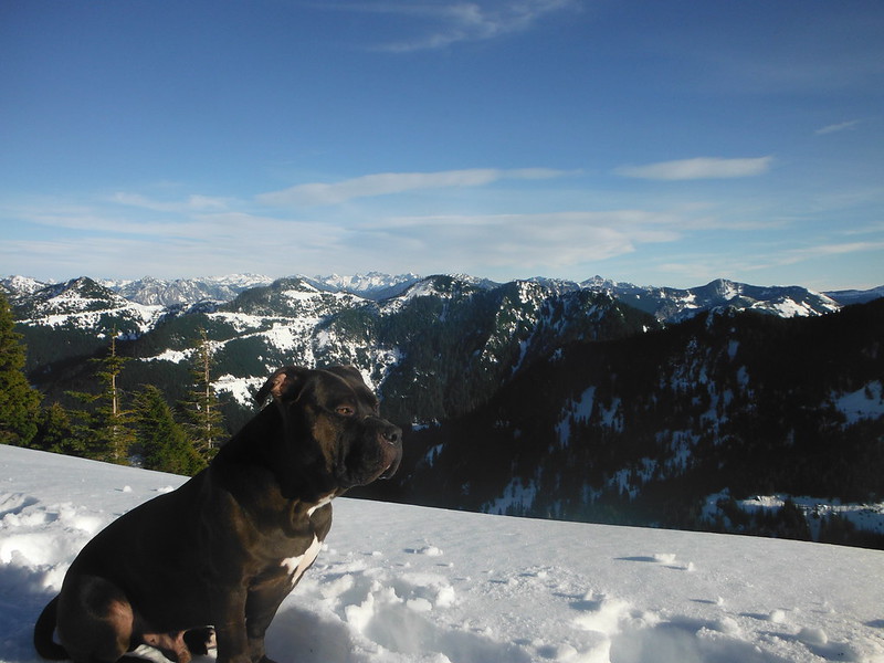
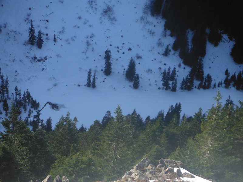
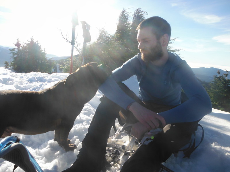
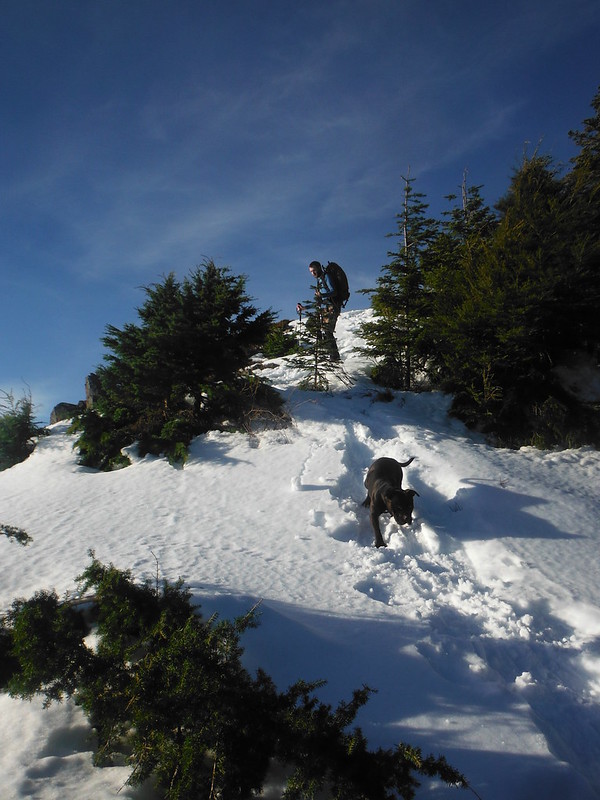
The haystack was mostly melted off besides the standard scramble route up the NE col, which was filled near to the top with a mix of ice and slushy snow. Due our experience with this ~60' scramble we hatched a plan to alternate up to the summit to keep Automahn from danger on the slippery descent. Unfortunately I started up with the leash in my pack like a dummy. Auto ignored Joel's attempts to constrain him and had climbed half the way up before I could get to him, then refused to follow me down, apparently intent on making the summit himself. We completed our half-hatched plan and then spent the next hour slowly coaxing a stubborn mule-of-a-dog back down.
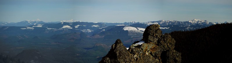
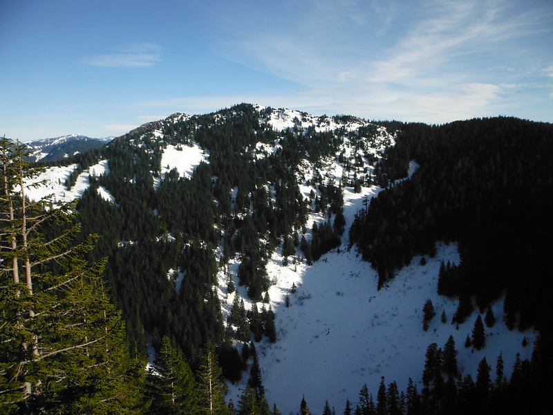
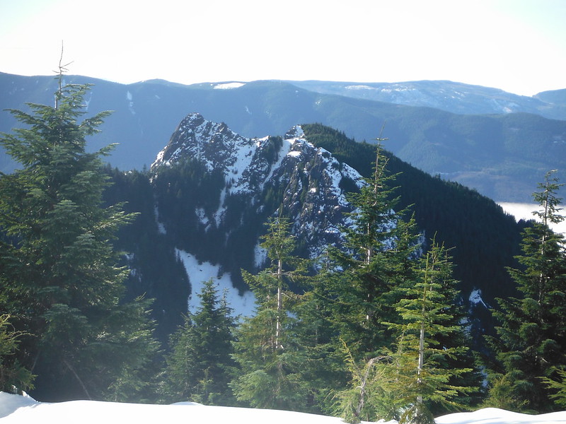
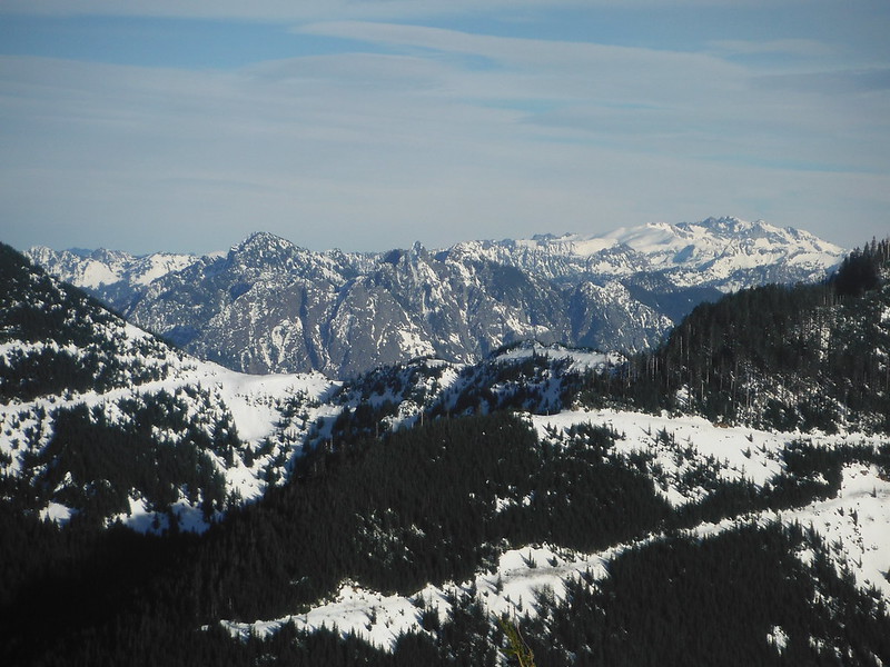
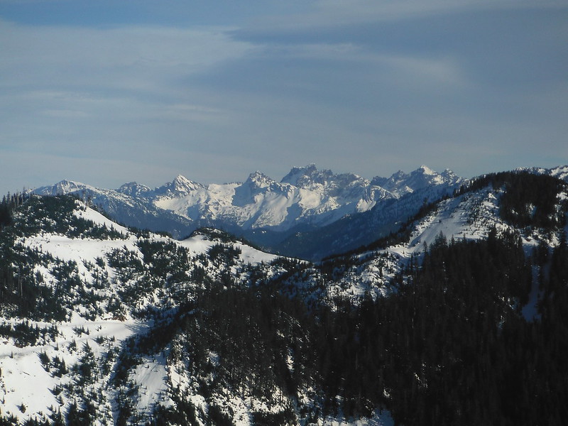
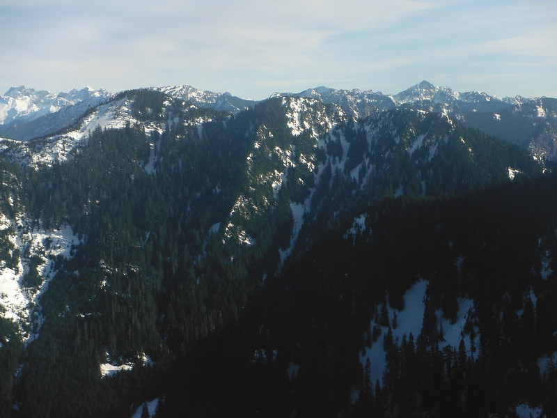
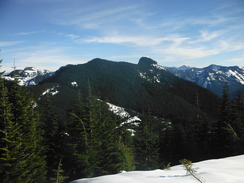
We regrouped and donned snowshoes while discussing route options for the remainder of the trip. We followed an established trench to Blowdown Mountain along old logging roads, with the occasional bushwhack between them. The road stops only a few feet from the summit, which has limited between thick sub-alpine hemlock. We followed the West side of the ridge to the Northern sub-peak named for Crater lake below it to the East. This provided a great vantage point on Dixie Peak, our next destination, as well as Mount Teneriffe, the Haystack, and the cascades to the North and West.
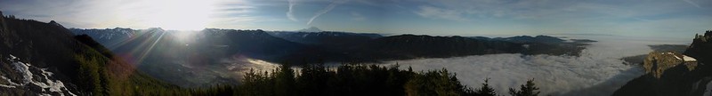
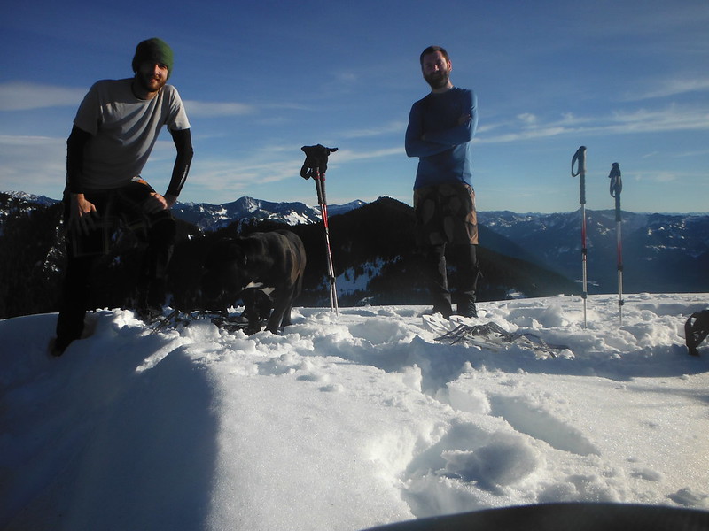
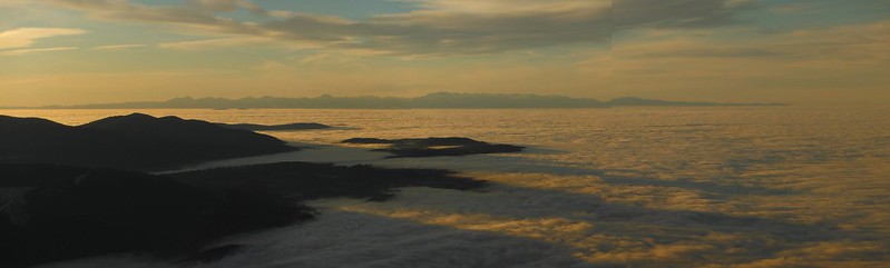
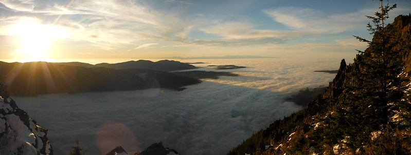
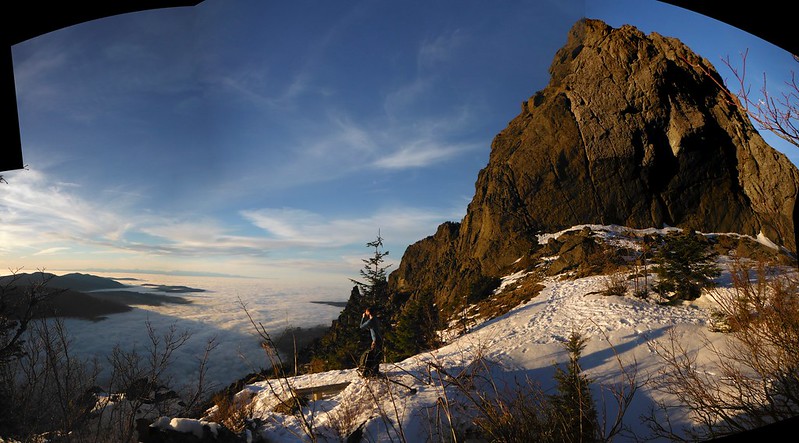
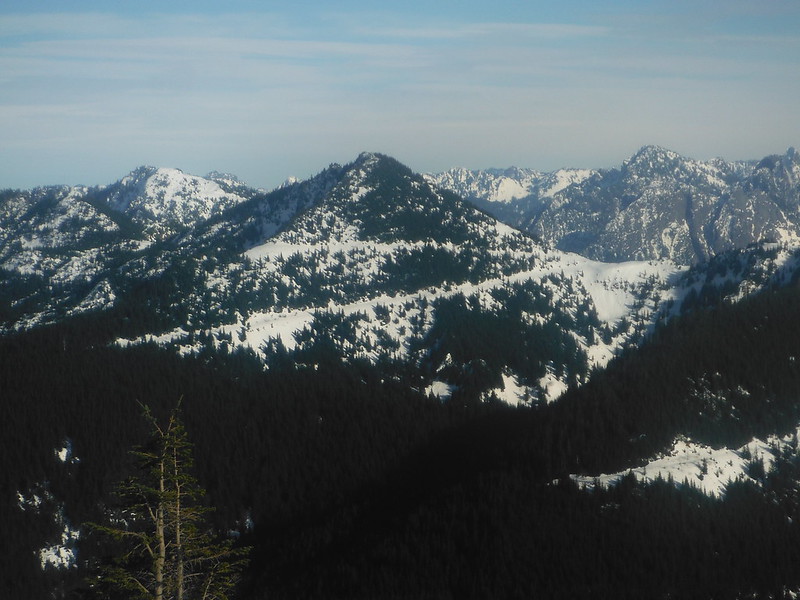
Under canopy the snow surface was crusty and tough to bite into so we accepted some elevation loss and stayed mostly to the ridge tops en route to Dixie Peak to save our ankles from the slope. The high point of the day provided near panoramic views. Rattlesnake Mountain, Issaquah Alps, and the distant Olympics looked like islands in an ocean of low clouds that extended as far as the eye could see to the West of the Cascade foothills. The cascades to the East and South were crisp and clear. We spent nearly an hour lounging in the sun, trying to fully appreciate spring-like weather at 4600' in mid January. My keychain thermometer read 55 degrees in the shade. Hard to believe.

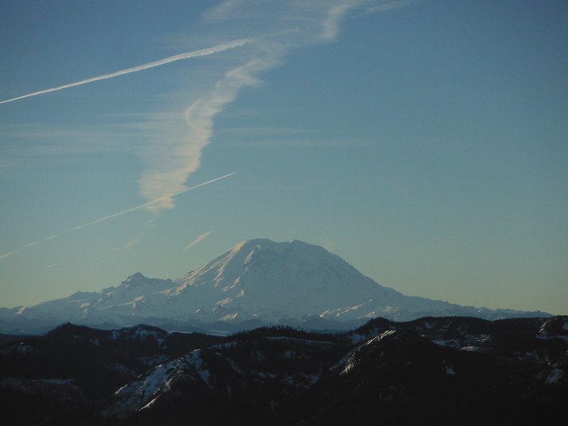
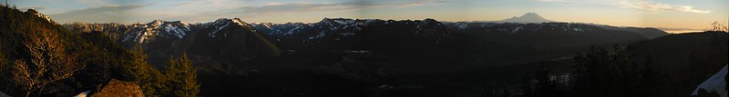
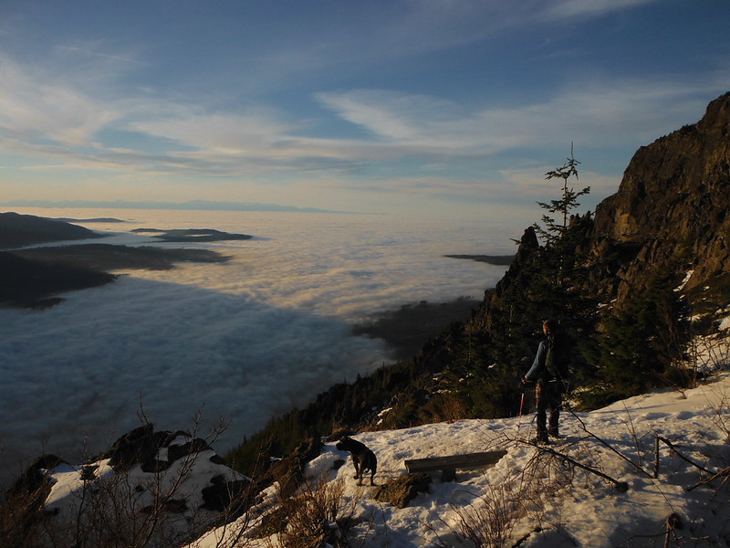
On the way back we stopped at the viewpoint below the haystack to enjoy the first half of the sunset. Tiger Mountain and Squak Mountain cast impressive shadows on orange clouds over the Snoqualmie River Valley. Tahoma dominated the skyline even as it faded into the sky surrounding it. The day ended as it started in the dark, a sure sign of a satisfying day in the mountains, if you ask me.
Comments
No comments posted yet.
