-
 136997 Hits
-
 86.59% Score
-
 23 Votes
|
|
Mountain/Rock |
|---|---|
|
|
32.44310°N / 110.7878°W |
|
|
Hiking, Mountaineering, Trad Climbing, Sport Climbing |
|
|
9157 ft / 2791 m |
|
|
Overview
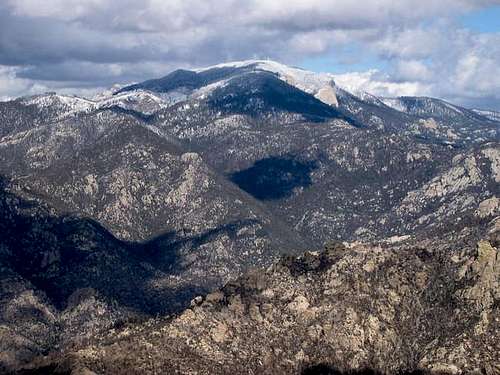
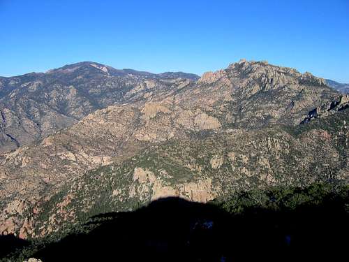
Mt. Lemmon is unquestionably the monarch of the Catalina Mountains. Its huge, broad summit rises nearly seven thousand feet above the city of Tucson, and is often snowcapped while far below, saguaro cacti bask in the sun. Of the Tucson area summits, only Mt. Wrightson is higher. Although a road runs to Lemmon’s summit, numerous trails and paths also cover the flanks of the mountain, and some even go all the way to the top. Needless to say, it’s a long, strenuous hike from the base of Mt. Lemmon to its 9,157-foot summit.
Like a few other Catalina peaks, Mt. Lemmon is a “sky island.” Most high mountains in the Western U.S. have forests at the base and then ascend above treeline. A hike of Lemmon, however, starts in the low desert among shindaggers, rattlesnakes, and pricky pears; forests appear on route to the summit and the top is covered with pines. While Lemmon’s heights have much of the same vegetation and wildlife as other high mountains in southern Arizona, these areas are isolated from each other by the desert in between – hence the term.
The Mt. Lemmon Area
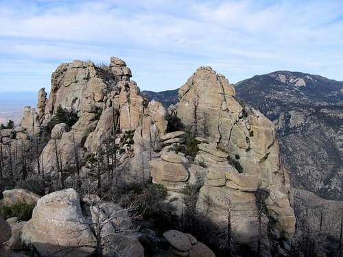
Probably due to the presence of the road (the Mt. Lemmon highway), the whole area from the Catalina Foothills to the top of the mountain is sometimes incorrectly called “Mt. Lemmon.” In reality the highway crosses over or traverses a number of other high Catalina peaks, including Green Mountain, Mt. Bigelow, and Marshall Peak – all before finally reaching Lemmon itself. Along the way, the road also passes by many great rockclimbing areas… Windy Point and Prison Camp, for example. And numerous towers and spires bracket the road as well.
Mt. Lemmon and other places along the highway are very popular destinations in the summer, when Tucson’s heat is unbearable. In fact, the mountain is high enough and gets cold enough during winters to often accumulate significant amounts of snow. The upper parts of the mountain usually receive around 150-200 inches annually, and there is a ski area here called “Mt. Lemmon Ski Valley” with 21 trails. The Mt. Lemmon highway is often blocked by a locked gate just past the ski area, but at times the road is open and can be followed another two miles to a cluster of buildings on the mountain’s summit, which include observatories and old military facilities, most surrounded by a fence. The status of the summit is still somewhat in question. Occasionally the gate is open and at least a few hikers have reported being able to walk in without hassle. At other times, the gate is locked. Regardless, the benchmark lies about 5-10 meters outside the gate on the northern edge of the summit plateau and can be reached without entering the complex (a faint trail leads around the fence). It's almost certainly not the exact highest point on the mountain, but finding that spot would be difficult if not impossible, due to the evenness of the summit plateau.
The Arizona Trail
The Arizona trail is an 800 mile, north-south route which runs from the Mexican border to Utah. The Arizona Trail enters from the southeastern edge of the Catlinas, cuts northwest into the heart of the mountains, and reaches 8,440 feet on the southwestern ridge of Mt. Lemmon, passing less than two miles from the summit. From there, it heads down the northern slope of the range.
The Highest Catalina Summits
| Rank | Peak | Elevation | 7.5 minute Quadrangle | ||
| 1 | Mount Lemmon | 9,157 | Mt. Lemmon | 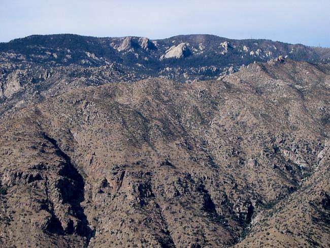 |
|
| 2 | Mount Bigelow | 8,540 | Mount Bigelow | ||
| 3 | Marshall Peak | 8,300 | Mount Lemmon | 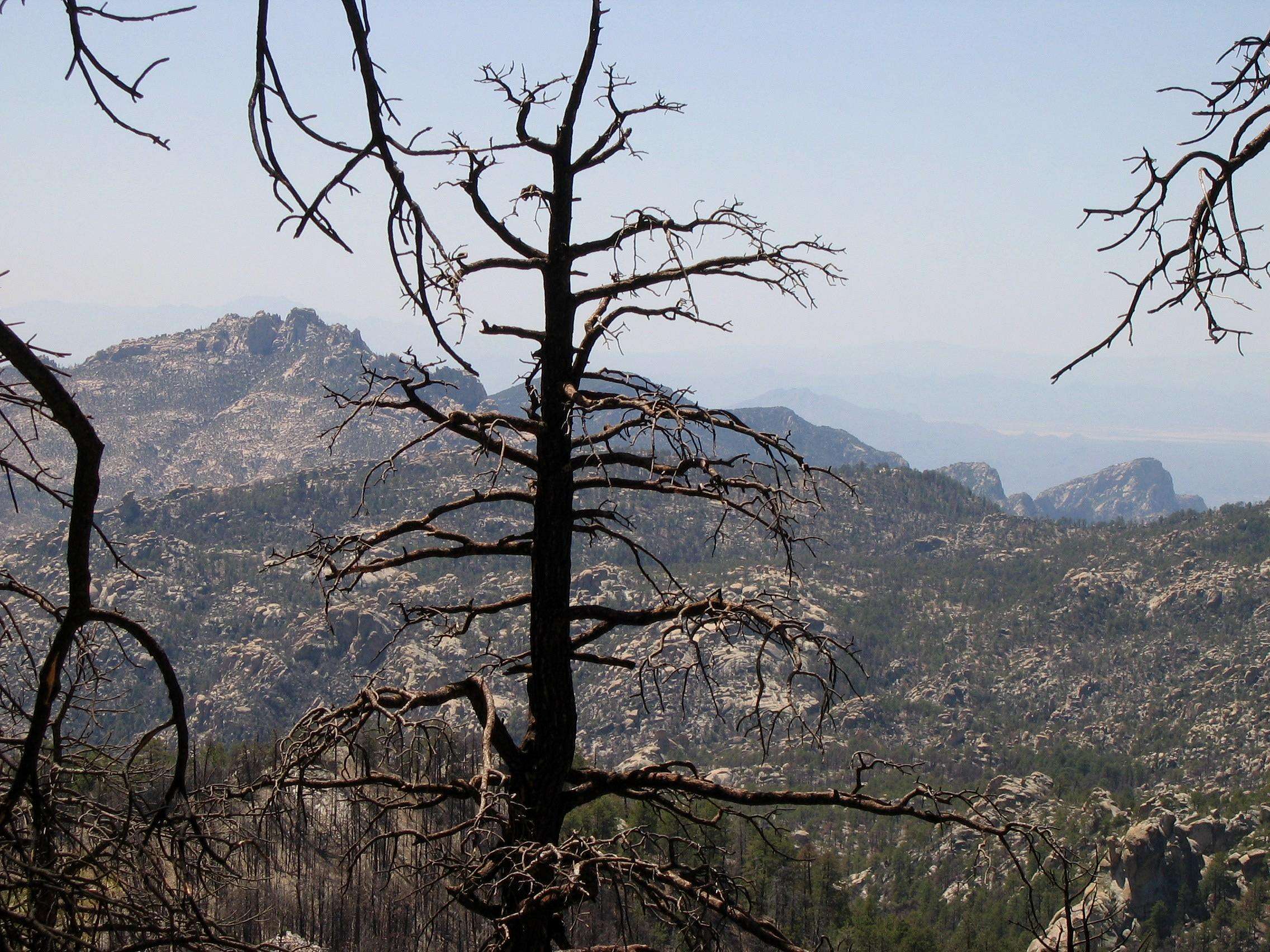 |
|
| 4 | Cathedral Rock | 7,957 | Mount Lemmon | 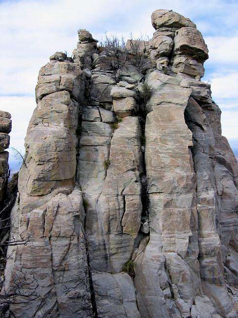 |
|
| 5 | Green Mountain | 7,904 | Mount Bigelow | 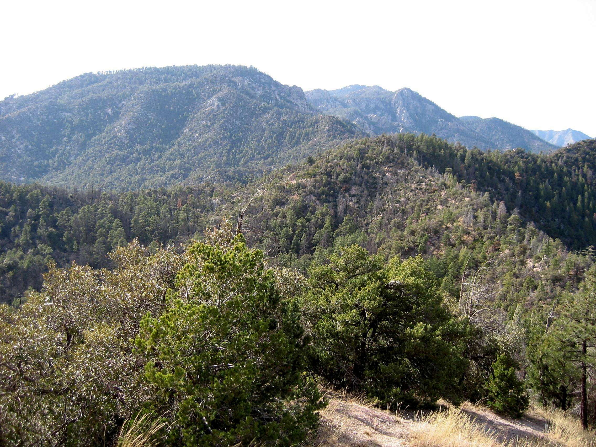 |
|
| 6 | Samaniego Peak | 7,700 | Mount Lemmon | 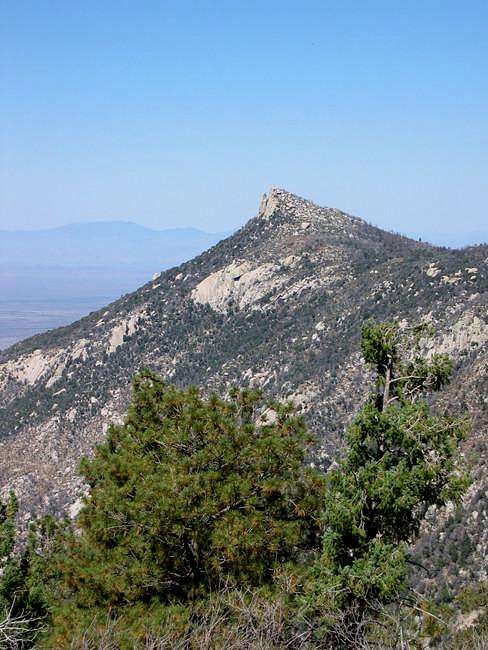 |
|
| 7 | UN 7693 | 7,693 | Mount Bigelow | ||
| 8 | Window Peak | 7,468 | Mount Lemmon | 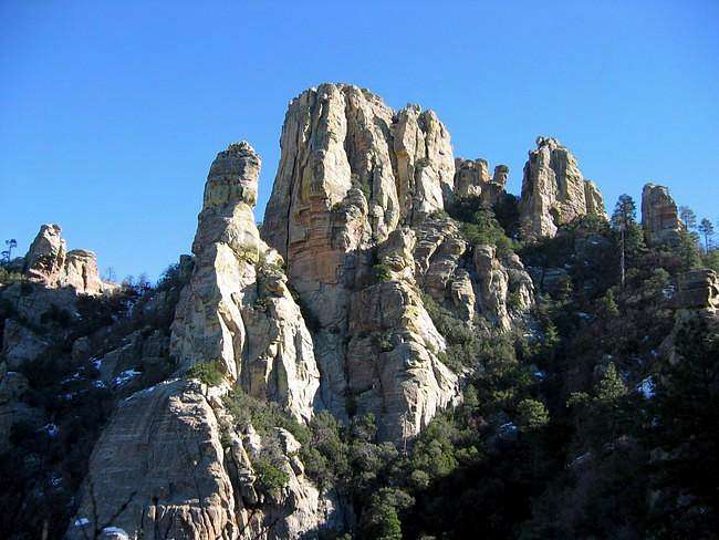 |
|
| 9 | Rose Peak | 7,303 | Mount Bigelow | ||
| 10 | UN 7281 "Guthrie Mountain" | 7,281 | Mount Bigelow |  |
|
| 11 | Mt. Kimball | 7,258 | Oro Valley |  |
|
| Mule Ears | 7,060 | Mount Lemmon | |||
| 12 | Rattlesnake Peak | 6,653 | Sabino Canyon |  |
|
| 13 | Prominent Point | 6,628 | Tucson North | 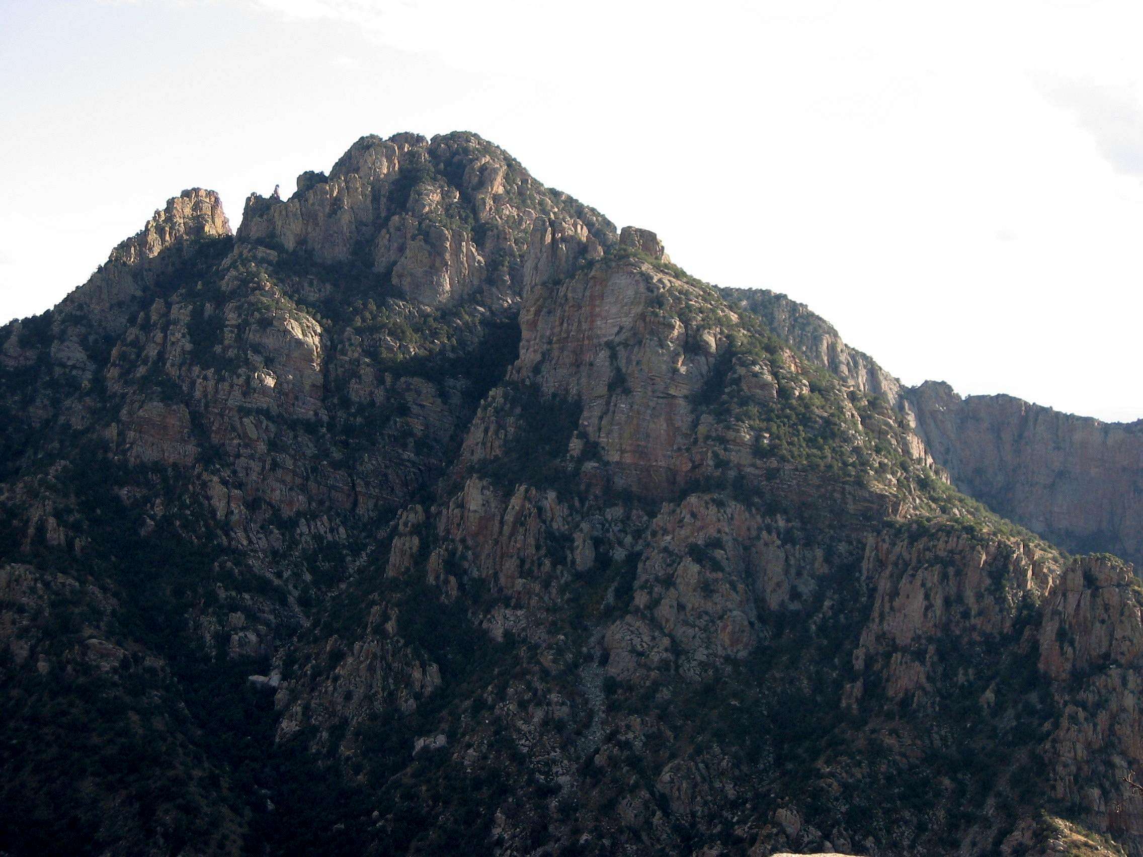 |
|
| 14 | UN 6512 | 6,512 | Agua Caliente Hill | ||
| 15 | Apache Peak | 6,441 | Oracle | ||
| Finger Rock | 6,420 | Tucson North |  |
||
| 16 | Table Mountain | 6,265 | Oro Valley |  |
|
| 17 | UN 6191 | 6,191 | Agua Caliente Hill | ||
| 18 | Airmen Peak | 6,100 | Agua Caliente Hill | 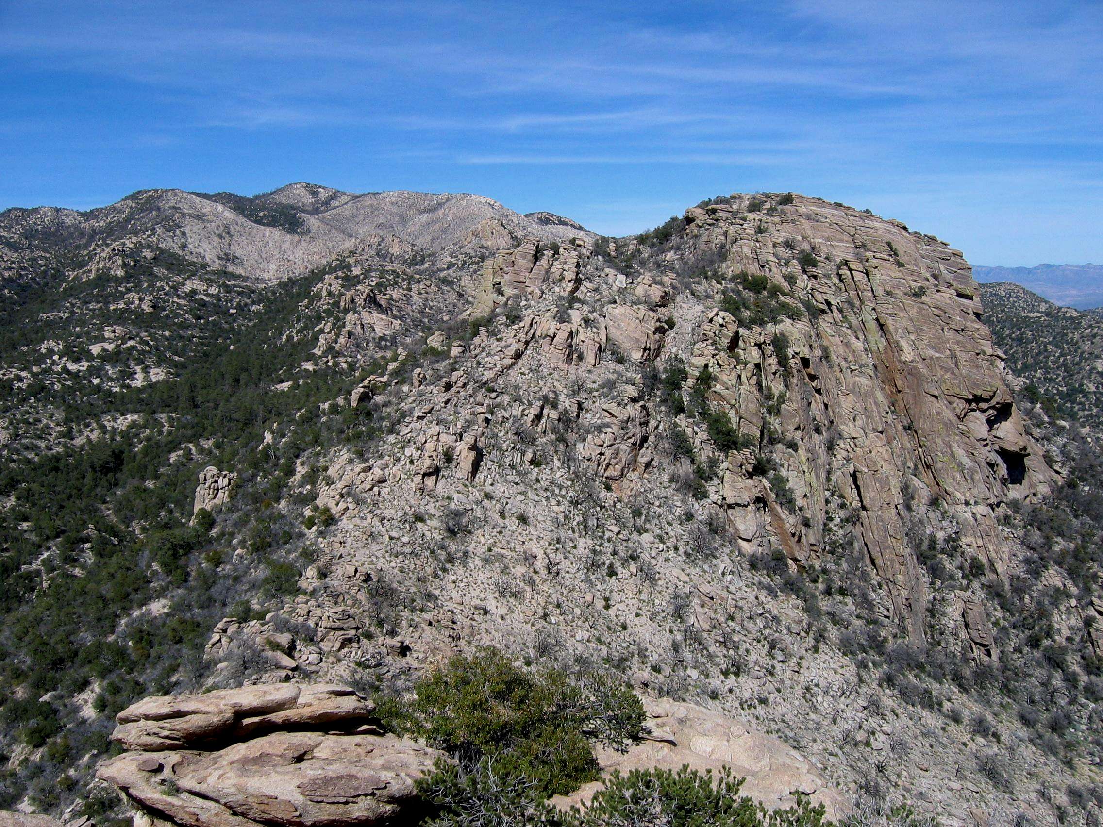 |
|
| 19 | UN 6060 | 6,060 | Mount Bigelow | ||
| 20 | UN 6053 | 6,053 | Mount Bigelow |
Clicking on the small picture by a peak will take you to a picture of that peak.
Clicking on an underlined peak will take you to that peak's page on SummitPost.
An elevation in red is interpolated.
A more expansive list of the Catalina summits can be found here.
Getting There
Your approach to Mt. Lemmon can vary greatly, depending on which route you want to take up the mountain. There is no single trail which runs directly from the base to the summit – all routes require taking multiple trails. If hiking the mountain, your best bet is to get a map of the area (they are available at outdoor stores in Tucson as well as at the Palisade Ranger Station on the Mt. Lemmon highway itself). Some of the ways into the Mt. Lemmon area are:
From the south: The Sabino Canyon, Esperero Canyon, Ventana Canyon, and Finger Rock Canyon/Mt. Kimball trails.
From the west: The Pima Canyon, Romero Canyon, and Sutherland trails.
From the north: The Samaniego Ridge, Canada del Oro, Red Ridge, and Arizona trails.
Of course, if you’re not up for a hike of seven thousand vertical feet, there is the option of using the Mt. Lemmon highway to shorten the hike. There are a number of trails which can be accessed from this road and lead to the summit of Mt. Lemmon. To reach the Mt. Lemmon highway, pick up Grant Road in town and head towards east Tucson. Take a left on Tanque Verde road and go for 3.2 miles, at which point you will intersect the Mt. Lemmon highway; take a left here. At this point the road is called the Catalina highway, and at various places it also has a few other names, such as the Sky Island parkway. However, staying on it isn’t difficult, as the road turns northeast and heads into the Catalinas without intersecting any other major streets.
There is the additional possibility of driving up Mt. Lemmon from the town of Oracle, to the north of Tucson. To do so, take route 77 (Oracle Road) north out of Tucson. Just before the town of Oracle itself, take a right on American avenue, which intersects Mt. Lemmon road after about two miles, in the middle of town. This road climbs the northern slopes of the Catalinas and meets with the Mt. Lemmon Highway at about 7,340’. However, it is a very rough road and not recommended for 2WD vehicles.
Red Tape
Mt. Lemmon is in the Coronado National Forest and there are no fees to hike it. However, there may be other fees or passes required depending on where you start from – such as Sabino Canyon or Catalina State Park. Also, if you’re planning on driving up the Mt. Lemmon highway, doing so requires you to pay a $5 fee for the day or buy a $20 annual pass.
When to Climb
The summit of Mt. Lemmon is generally 20-30 degrees cooler than Tucson. At over 9,000 feet, the peak is easily high enough to often collect snow and ice during the winter. And while the summit itself is generally a mild temperature during the summer, the hike through lower elevations can be excruciatingly hot. The recommended times for climbing are spring and fall.
Mountain Conditions
Here is the website for the Coronado National Forest. You can also call them at 520-749-8700.
Camping
Where you camp also depends on which route you’re taking up the mountain. Since Lemmon is surrounded by National Forest, camping is permitted on almost all of the approaches. Additionally, there are a number of pay sites just off the Mt. Lemmon Highway, ranging from $10-$20 a night; these are often full on weekends.
Warning!
The Catalina Mountains are home to a number of mountain lions. Sabino canyon has occasionally been closed due to the aggressive behavior of these lions, and I have personally had an encounter with a lion on a ridge above the canyon.
Rattlesnakes can also be found in the Catalinas. They prefer low elevations, but I have seen them as high as 7,200’ here. If you choose to hike or climb in the area, take the necessary precautions!
It's recommended that if you see a mountain lion you try to make yourself look as big as possible so that the cat won't consider you prey. Fan out your jacket, stand up, wave your arms. Throw stuff at the lion if you can do so without exposing yourself to attack. If the lion attacks you, don't play dead - cats kill to eat! Fight back.
With rattlesnakes the general rule is don't bother them and they won't bother you. Almost everyone who's been bitten by a rattler stepped on it or right next to it. So watch your step, especially during warm days in the lower elevations - rattlesnakes often like to bask out in the sun here.
Historical Notes
The Catalina Mountains were named by Padre Eusebio Kino, who established the San Xavier del Bac Mission just south of present-day Tucson, in the seventeenth century. Kino originally called the range the “Santa Catarinas,” but in time the name changed into “Catalinas.”
Mt. Lemmon itself is named after Sara Plummer Lemmon, a botanist who reached the summit of the mountain in 1880.
Request for more information
If you have information about this mountain that doesn't pertain to any of the other sections, please add it here. I'll get to it as soon as I can and include it in the page if it's pertinent.




Bob Bolton - Apr 17, 2005 12:56 am - Hasn't voted
Untitled CommentAlso, Mt. Lemmon is a worthy summit because it is one of the lower 48's Ultra prominence peaks, with 5,157 feet of prominence, ranking 54th.
Az Climbing Boy - Sep 28, 2002 8:07 pm - Hasn't voted
Untitled Commentthanks! i posted the lat & long on the page.
...phil
Bob Bolton - Apr 17, 2005 12:56 am - Hasn't voted
Untitled CommentAlso, Mt. Lemmon is a worthy summit because it is one of the lower 48's Ultra prominence peaks, with 5,157 feet of prominence, ranking 54th.
nebben - Oct 21, 2005 2:24 pm - Hasn't voted
Untitled CommentHiking to the top can be anticlimactic since the summit is occupied by observatories.