Overview
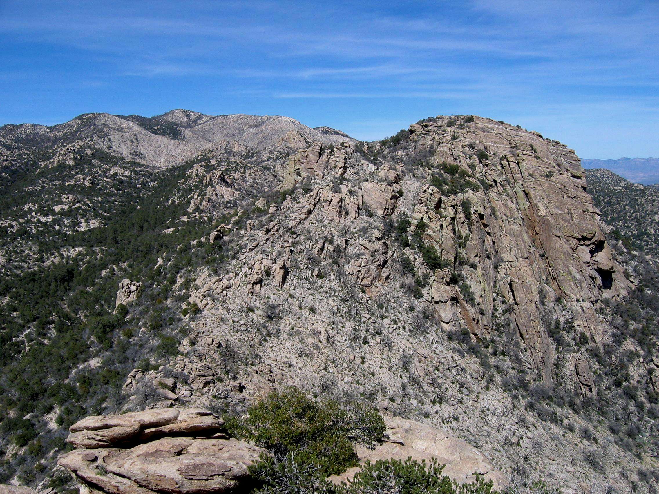
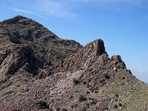
Unnamed 4910 - locally known as "the Cleaver" - is a jagged, rocky ridge located on the Pusch Ridge. The Pusch Ridge itself is a formation which forms the far southwestern boundary of Tucson's Catalina Mountains. West of the ridge, the Catalinas drop off into the Oro Valley, north of Tucson. On its east side, Pusch Ridge slopes down into Pima Canyon. The ridge is comprised of a number of peaks which grow progressively higher as the ridge travels northeast into the Catalinas. These summits are, from southwest to northeast: Pusch Peak, the Cleaver , Bighorn Mountain, Table Mountain, UN 6020, and UN 5985. Soon after this the Pusch Ridge turns south and merges with the massif of
Mt. Kimball.
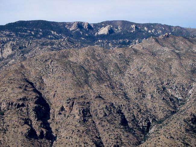
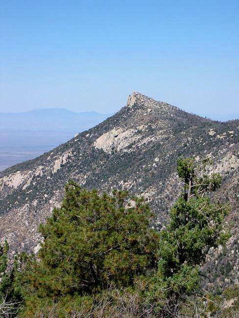
![]() The Cleaver from Pima Canyon
The Cleaver from Pima Canyon
While all of these summits can be reached from the west (Oro Valley) side, the nearest trail is Pima Canyon. This route follows the wash between Pima Canyon and the huge mass of Prominent Point to the east. Pima Canyon trail will get you close to the ridge, but unfortunately a lot of bushwhacking is still necessary. The climb of UN 4910 starts out as off-trail hiking through shindaggers, catclaw, and many other varieties of cactus... and finishes on the loose rock of the Cleaver itself. Due to these difficulties, the Cleaver is not often approached and even more seldom climbed. However, for the persistent (or masochistic!) the summit rewards you with magnificent views of the southern Arizona desert to the west and the Catalinas to the east.
Warning!
Despite its relatively low elevation and close proximity to both Pima Canyon trail and Tucson, climbing the Cleaver is no simple matter. The rock is ungodly loose and I know a number of climbers who've had holds and boulders let go on them. There have been quite a few injuries and at least one well-publicized climbing death in Pima Canyon. As recently as September 2004, a hiker was badly injured here and had to be evacuated by air.Here's a link to that hiker's
story, provided by SP's PeakMule.
Getting There
The Cleaver is best approached from Pima Canyon. To get to Pima Canyon, take Tucson's Skyline Drive, a major road that parallels the Catalinas just south of the foothills. Skyline turns into Ina road
here; the intersection of Ina and Christie is just west and is also on this map. At that intersection, go north on Christie. This street dead-ends at Magee. Turn right here, and park at the lot (it's called the Iris Dewhirst trailhead) straight ahead of you.
Red Tape
No dogs are allowed on the Pima Canyon trail. Furthermore, off-trail hiking - which is necessary to reach the summit of the Cleaver - is prohibited from January 1 - April 30th, as this area is home to a number of bighorn sheep.
The Highest Catalina Summits
| Rank | Peak | Elevation | 7.5 minute Quadrangle | |
| 1 | Mount Lemmon | 9,157 | Mt. Lemmon | ![]() | |
| 2 | Mount Bigelow | 8,540 | Mount Bigelow | | |
| 3 | Marshall Peak | 8,300 | Mount Lemmon | ![]() | |
| 4 | Cathedral Rock | 7,957 | Mount Lemmon | ![]() | |
| 5 | Green Mountain | 7,904 | Mount Bigelow | ![]() | |
| 6 | Samaniego Peak | 7,700 | Mount Lemmon | ![]() | |
| 7 | UN 7693 | 7,693 | Mount Bigelow | | |
| 8 | Window Peak | 7,468 | Mount Lemmon | ![]() | |
| 9 | Rose Peak | 7,303 | Mount Bigelow | | |
| 10 | UN 7281 "Guthrie Mountain" | 7,281 | Mount Bigelow | ![]() | |
| 11 | Mt. Kimball | 7,258 | Oro Valley | ![]() | |
| | Mule Ears | 7,060 | Mount Lemmon | | |
| 12 | Rattlesnake Peak | 6,653 | Sabino Canyon | ![]() | |
| 13 | Prominent Point | 6,628 | Tucson North | ![]() | |
| 14 | UN 6512 | 6,512 | Agua Caliente Hill | | |
| 15 | Apache Peak | 6,441 | Oracle | | |
| | Finger Rock | 6,420 | Tucson North | ![]() | |
| 16 | Table Mountain | 6,265 | Oro Valley | ![]() | |
| 17 | UN 6191 | 6,191 | Agua Caliente Hill | | |
| 18 | Airmen Peak | 6,100 | Agua Caliente Hill | ![]() | |
| 19 | UN 6060 | 6,060 | Mount Bigelow | | |
| 20 | UN 6053 | 6,053 | Mount Bigelow |
Clicking on the small picture by a peak will take you to a picture of that peak.Clicking on an underlined peak will take you to that peak's page on SummitPost.
An elevation in red is interpolated.A more expansive list of the Catalina summits can be found
here.
When To Climb
Summer temperatures make this an undesirable climb during most of May, June, July, August, and September. Likewise, the off-trail prohibition makes this climb illegal in the late winter and spring. Therefore the best times are the months of October, November, and December.
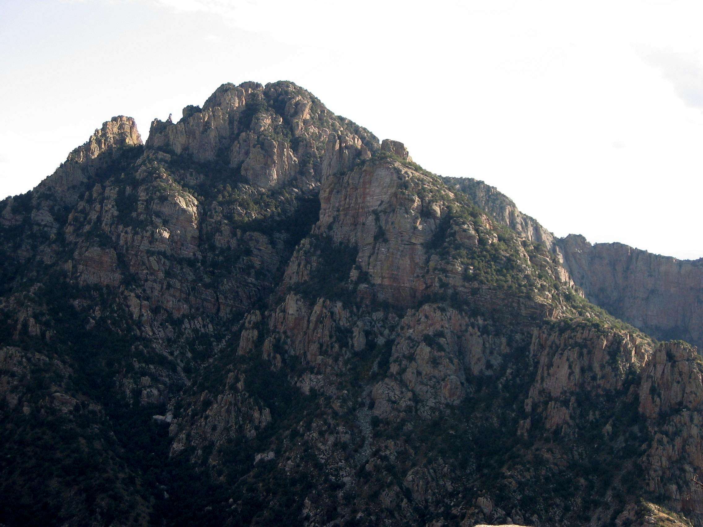
Pusch Ridge. Pusch Peak looms behind the Cleaver.Camping
Camping is allowed here; however there are very few campsites in Pima Canyon below the cutoff for the Cleaver. Furthermore, the brevity of the climb is such that making a camp is unnecessary.
Conditions
Here is the website for the
Coronado National Forest. You can also call them at 520-749-8700.
Miscellaneous Info
While the Cleaver does not have enough prominence to be considered a "true" peak by the 300 ft. rule, it is nevertheless a difficult climb - more difficult than many of the higher Catalina summits - and a worthy objective.
Anything else?
If you've got anything to add, add it here. I'll check it out as soon as I can.
 15443 Hits
 83.69% Score
 17 Votes
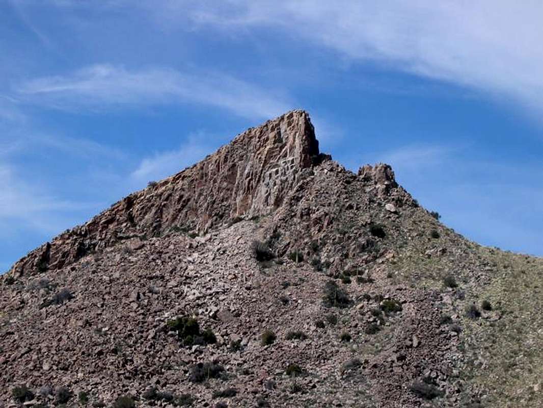 The Cleaver from Pima Canyon