
|
|
Mountain/Rock |
|---|---|
|
|
37.94940°N / 119.2463°W |
|
|
Mono |
|
|
Hiking, Scrambling, Skiing |
|
|
Spring, Summer, Fall, Winter |
|
|
11526 ft / 3513 m |
|
|
Overview
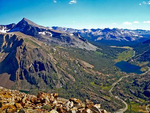
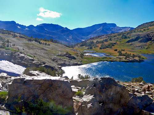
Mt. Dana and Tioga Pass area from Tioga Peak
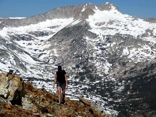
Tioga Peak is a prominent mountain that rises at the head of Lee Vining Canyon and north of Tioga Pass a few miles beyond the border of Yosemite National Park. Highway 120 goes right below the south and east slopes as it curves down into Lee Vining Canyon on the way to Mono Lake from Tioga Pass. This is a simple rounded peak composed of metamorphic rock like many of the peaks in the area. It is a very accessible straight forward class 1-2 scramble from Gardisky Lake that can easily be done as a day hike or less and is ideally combined with nearby Dore Cliff/Tioga Crest 11,911'. The summit area is a huge rolling dome. Tioga Peak has arguably the best views of the Tioga Pass region.
Appreciation is owed to Windsor Riley (aka Noondueler) who created this page, and who passed away in 2016.
Getting There
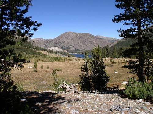
Tioga Peak, left, and Tioga Lake from Gaylor Peak
From the junction with Hwy. 395 take Hwy. 120 west 10 miles up to the Saddlebag Lake Road on the right.
From Tioga Pass go north 2 miles on Hwy. 120 to the Saddlebag Lake Road.
Go north 1.2 miles on the Saddlebag Lake Road (passable to all cars) and park in the lot on the left across the road from the Gardisky Lake Trailhead (9,730'). The trail climbs .7 miles up to Gardisky Lake (10,483'). Take the northwest slope or ridge for less than a mile to the summit.
Note: Hwy. 120 and the Saddlebag Lake Road are closed in winter.
Red Tape
Gardisky Lake
Tioga Peak is in the Inyo National Forest.
There are no permits required for this hike.
Tioga Pass is usually closed during the winter months from the eastern side. It usually opens between mid-May and mid-June; depending on the snow conditions.
Camping
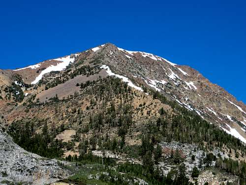
Tioga Peak from Dana Meadows, Tioga Lake below it
Sawmill Campground: 1.8 miles north on the left side of the Saddlebag Lake Road at 9,760'
Saddlebag Lake: At the south end of the lake above the parking lot at 10,100'
The northwest junction of Hwy. 120 and the Saddlebag Lake Road: at 9,600'
Ellery Lake: 2.3 miles north of Tioga Pass at 9,500'
Tioga Lake: 1.5 miles north of Tioga Pass at 9,500'
Current weather and 5 day forecast
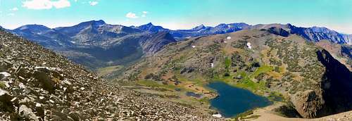
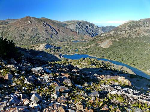
Tioga Peak north pano
Click here for current weather forecast for the Lee Vining area.