
|
|
Mountain/Rock |
|---|---|
|
|
48.68930°N / 122.3267°W |
|
|
Whatcom |
|
|
Hiking |
|
|
1958 ft / 597 m |
|
|
Overview
Austin Hill located just southeast of Bellingham is a little known summit in the region. Most people who summit this peak are local peakbaggers in the region and an occasional bicyclist as well. Located near Lake Whatcom and having 478 feet of prominence, Austin hill does not attract too many hikers in the region though due to the relative ease from the base to the summit it probably should. The road up can either be biked up or hiked up. Either way it is 4 miles round trip and 1100 feet of elevation gain. Although the top does not have much of a view, on a clear, sunny day, it probably has better views than when we went up there in the snow and in December. When you near the top, you will find a cell phone tower. The summit is located a couple hundred feet to the south of the cell phone tower and will require a simple bushwhack to get to.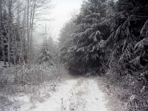 Snowy road, which makes the route much more enjoyable. | 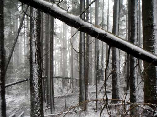 At the summit area. |
This road is well taken care of and well maintained. The way up is fairly easy for those who are fit, but for those who struggle and are out of shape like me, it is not what I would call easy b/c it is a fairly long slog. Also, the snow added a new and different element and makes this hike much more interesting that it normal would be without snow.
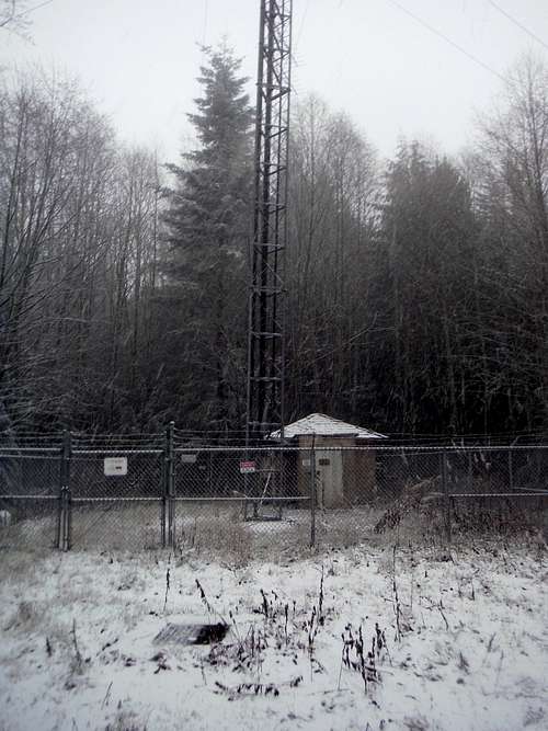 The cell phone tower NEAR the summit area. |  Getting close to the summit. |
Getting There
From Exit 240 of I-5 in Alger, Washington: Head east onto Lake Samish Road. This will quickly become Alger-Cain Lake Road. After two miles this road will go from east to north. Stay on this road for 4.8 miles as it passes Cain Lake which will be on your left hand side. Make a left onto Lake Whatcom Road and take it for 2.6 miles. Make a left on Louise View Road. Take it up all of the way to where a gravel road leave from the Louise View Drive. Louise View Drive is steep so use caution in icy conditions.Route Map
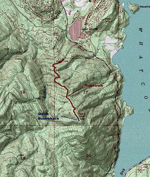
Austin Hill Route Map
Red Tape
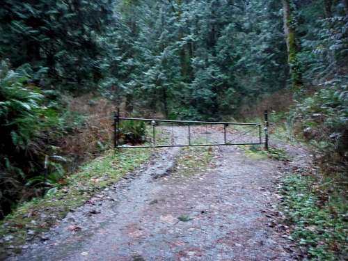
The road gate up the mountain
There is no major red tape for this road walk up except when parking your vehicle make sure not to block the gravel road.
When to Climb
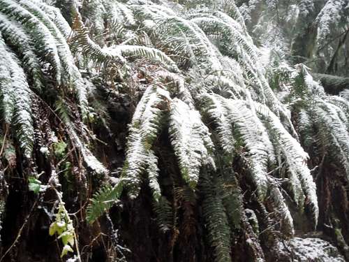
Snowy ferns
This mountain can be summited at any time of year. I personally would rather go up this peak when there is snow. It was much more scenic than it normally is.
Camping
It would be strongly advised not to camp overnight on this mountain. The parking is right in the middle of the residential area and the total distance of this hike is around 4 miles roundtrip.External Links
Sources for this peak are very limited so these are the only two that I could find.
Austin Hill's List of John Page