|
|
Mountain/Rock |
|---|---|
|
|
46.84960°N / 121.7121°W |
|
|
11138 ft / 3395 m |
|
|
Overview
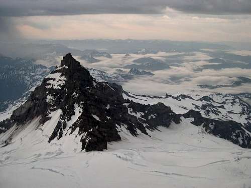
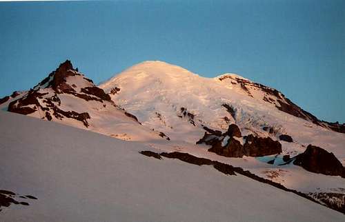
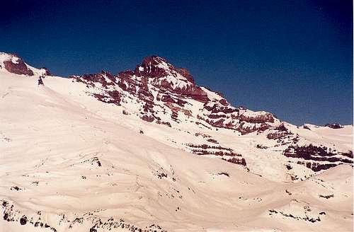
At 11,138 feet, Little Tahoma is the third largest peak in Washington and a very enjoyable moderate alpine climb in Mount Rainier National Park. It is actually a sub-peak of Mount Rainier but is not climbed often because most climbers choose to tackle the more popular Mount Rainier instead.
As is the case with most Cascade Volcanoes, Little Tahoma is composed of quite loose and crumbly rock, so rockfall is a hazard on this peak. In fact, in December, 1963 as series of rockfalls dumped approximately 14 million cubic yards of the north side of Little Tahoma onto the Emmons Glacier several thousand feet below. Fortunately, the standard route on Little T ascends from the east.
Getting There
Maps of Mount Rainier National Park
There are several ways to get to Mount Rainier National Park depending on where you are driving from. From Portland, take I5 North to US Highway 12. Follow 12 East through Morton and Packwood to the junction with State Highway 123. Take 123 North to 410 and follow the signs for White River.
Regardless how you get to the park, the best way to the trailhead is from the White River Entrance. Take the road through the White River Entrance and drive in about 5 miles to a parking lot just past Fryingpan Creek. Join the Wonderland trail there and hike toward Summerland.
Red Tape
There is a $10 per vehicle fee to enter Mount Rainier National Park.
Permits are required to climb above 10,000 feet or onto any glacier on Mount Rainier. They are $30 and are good for 1 year and you can reserve them in advance and pick them up at the White River Ranger Station (open until 7:00PM).
Check with the ranger station first as they limit access to this part of the mountain. It's a good idea to reserve your permit in advance.
Camping
Summerland:
If you climb early season (before the Wonderland Trail opens), you can camp in Summerland (5800 feet) without much hassle. There is even a nice stone shelter there. Later season the rangers probably won't let you camp here because it will be filled with Wonderland backpackers.
Meany Crest:
Meany Crest is a large rock formation in the middle of the cliff band directly above Summerland at 7500 feet. There is a nice large flat spot on top with a couple stone wind breaks for tents. Very easy access to the Fryingpan glacier but it can be difficult to navigate the cliff band from Summerland to Meany Crest.
The best route to Meany Crest is to bear almost directly toward Meany Crest from Summerland and bear slightly right (North) as you approach the cliff band. Then bear back left and climb up a steep ramp to a small bowl. Climb up the bowl and end up directly on top of the Meany Crest.
Fryingpan Glacier:
There are any number of places to camp along the toe of the Fryingpan glacier.
Mountain Conditions
Mount Rainier National Park - 360-569-2211


Outdoorgrrl - Jul 9, 2007 1:55 pm - Hasn't voted
Suggested camp siteIn addition to camping at Summerland and Meany Crest as mentioned, there are are really nice (albeit potentially windy) bivy sites at the crest between the Fryingpan and Whitman glaciers at 9,000'. Staying there makes for an easy summit day.
airborne - Jul 9, 2011 3:33 am - Hasn't voted
Climb fee increaseClimbing fee is now $43 for adults over 24 years.
cycle61 - Mar 22, 2018 10:27 pm - Hasn't voted
Re: Climb fee increasenow $48 annually