
Comments
No comments posted yet.
|
|
Trip Report |
|---|---|
|
|
32.37672°N / 110.8797°W |
|
|
Download GPX » View Route on Map |
|
|
Oct 31, 2022 |
|
|
Hiking, Mountaineering |
|
|
Fall |
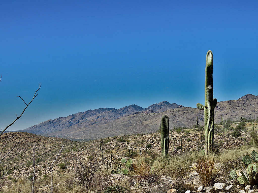
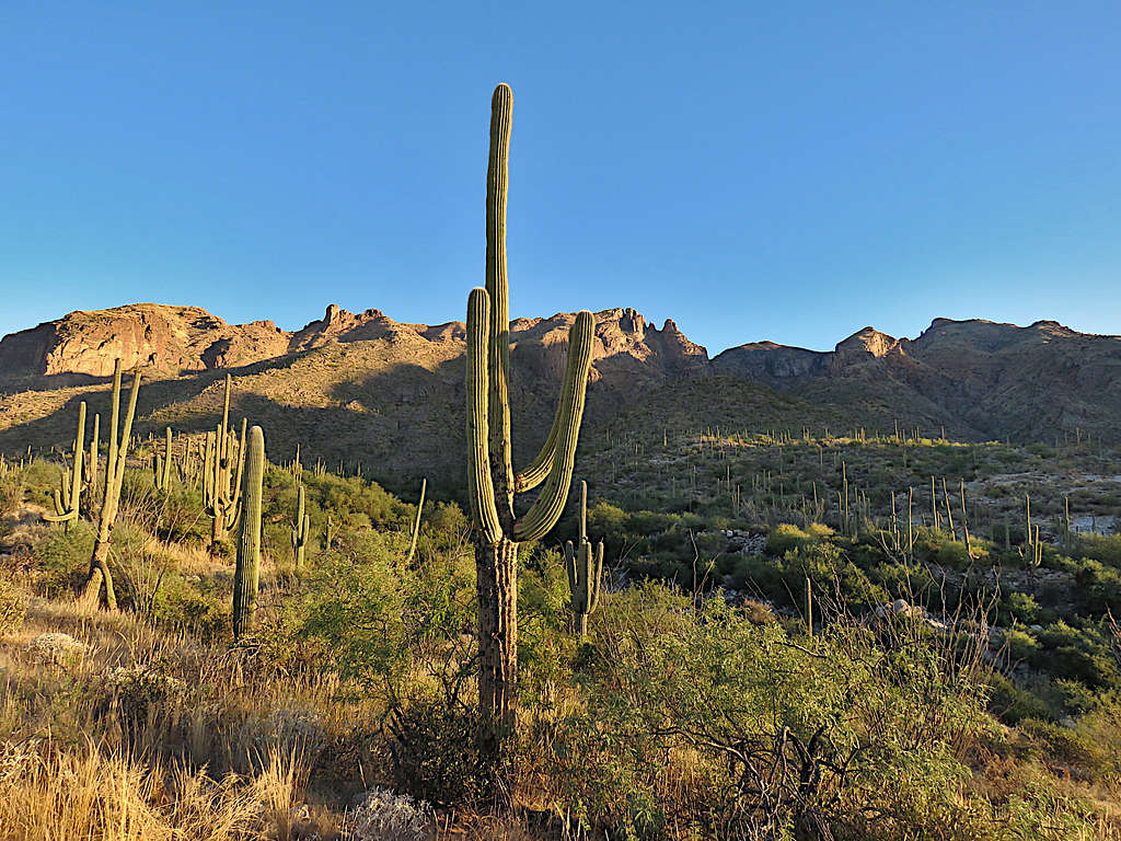
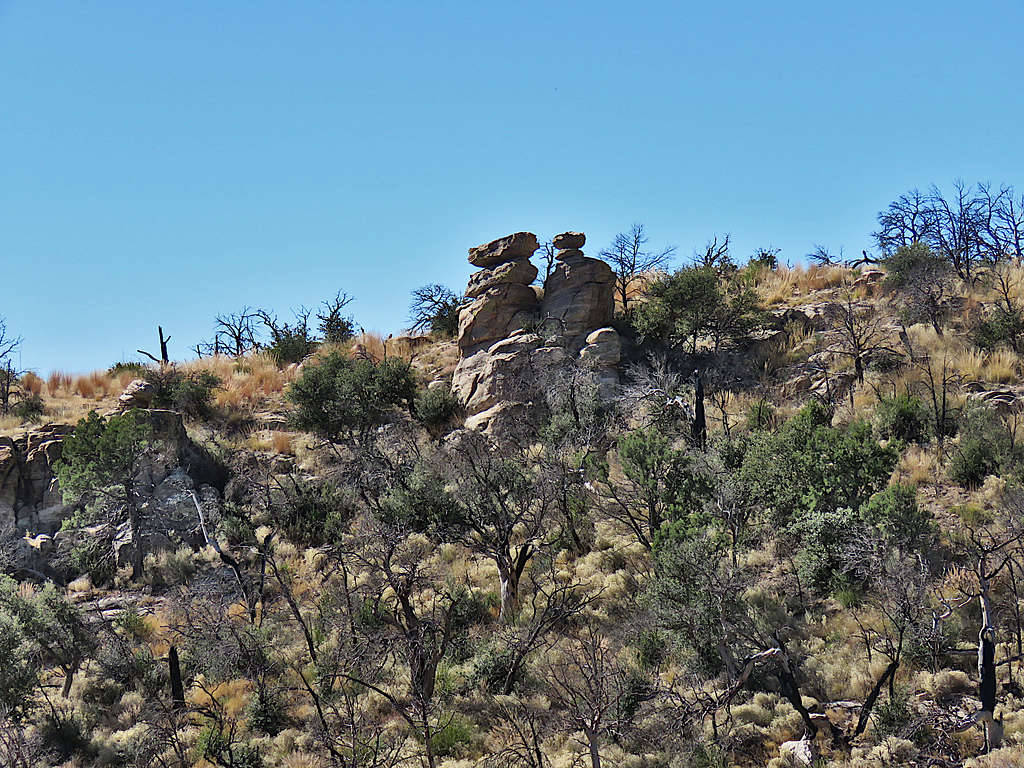
The 7258 ft Mt. Kimball rises in the Santa Catalina Mountains to the north of the city of Tucson, Arizona. Two trails start in the northern suburbs of Tucson and go to the summit of Mt. Kimball, one via Finger Rock Canyon and the other via Pima Canyon. Both canyons sit to the south/southwest of Mt. Kimball. I climbed Mt. Kimball via Finger Rock Canyon. (The picture below shows the southeast face as seen from Aqua Caliente Trailhead).
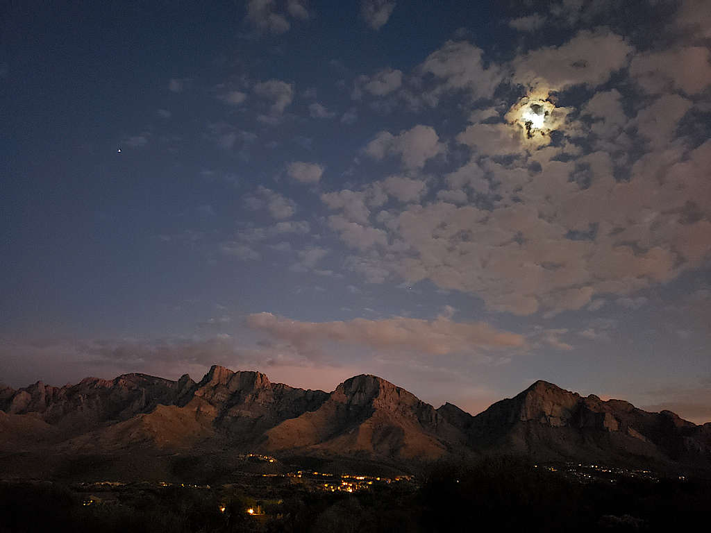
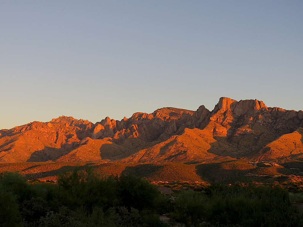
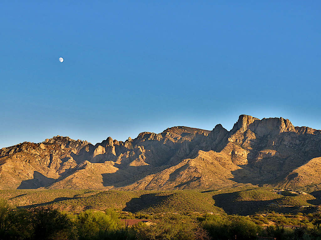
We spent a week at a vacation rental house in Oro Valley where we had great views of the north face of Mt. Kimball along with the jagged peaks of Pusch Ridge. (North face views as seen from the house)
Elevation at Trailhead: 3055 ft
Summit Elevation: 7258 ft
Roundtrip Hiking Distance per my GPS: 10.5 miles
Total Ascent per my GPS: 4210 ft
Monday October 31, 2022
Left the vacation rental house in Oro Valley at 6:30 AM. The previous night, I had taken a glance at the map and had erroneously thought that I needed to start at Campbell Trailhead. Did a short drive through the city streets to reach Campbell Trailhead. Once I turned on my GPS, I realized that I was at the wrong trailhead. Did another short drive to reach Finger Rock Trailhead at the end of a city street. No one was there and I did not see any other hikers until near the end of the day when I was back close to the trailhead.
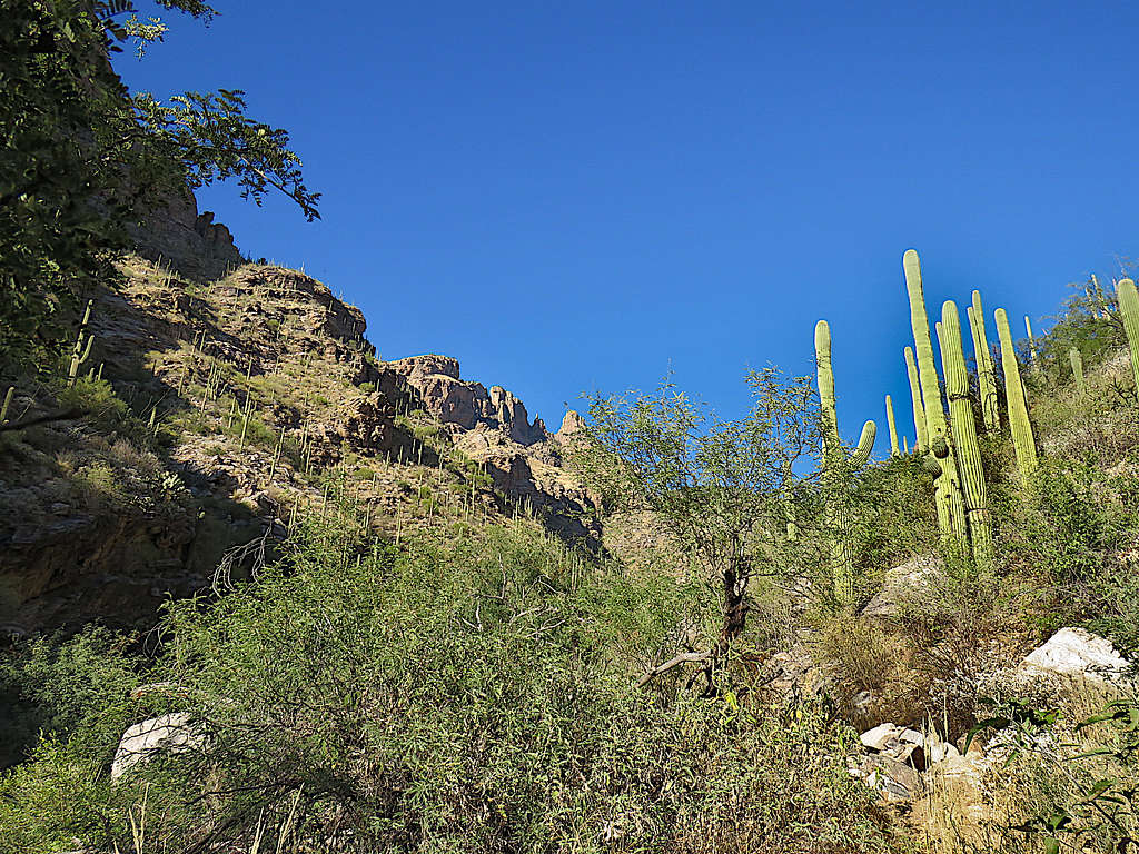
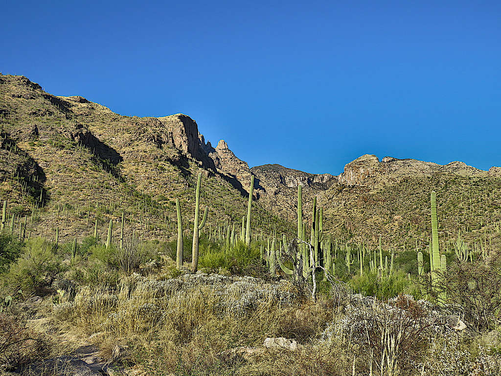
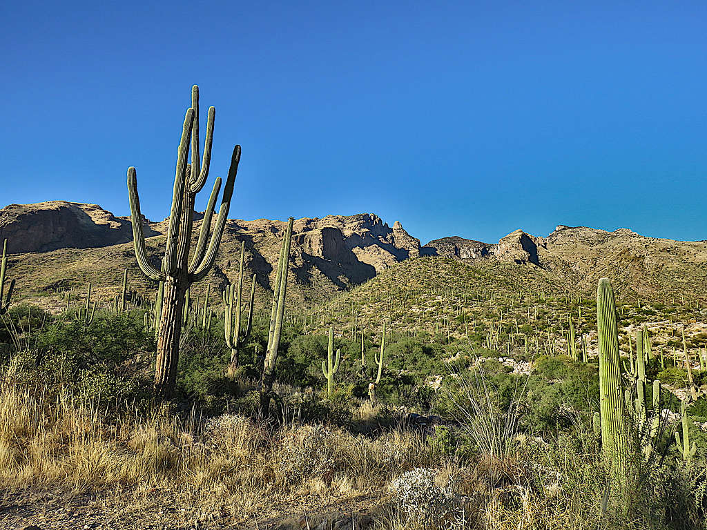
Started my hike at 7:05 AM (sunrise 6:40 AM). Temperature was in the upper 40s degrees F. Walked the sidewalk and got on the signed trail that started right next to the wall of a private residence. I was soon out of the city and found myself on a sloped Saguaro Cactus plain with the view of the summit of Mt. Kimball (or a spot just below the summit) in front of me to the northeast.
The early morning sun was shining on me making me feel warm, but I knew that I would soon enter the canyon going into the shade. High temperature in the city was supposed to reach 80 degrees F. Was regretting that I had brought only 3 liters of water.
Going into the shade.
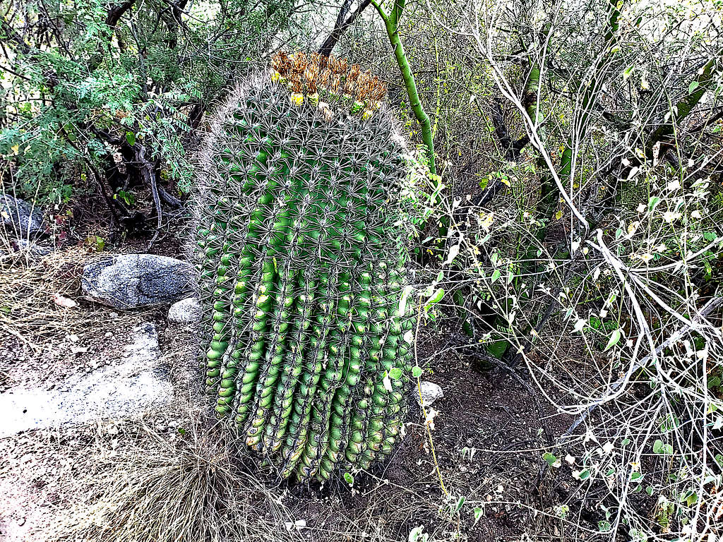
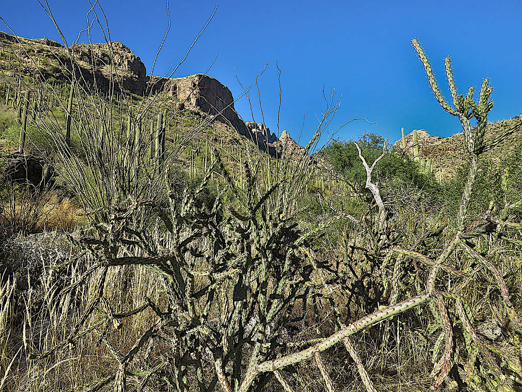
Barrel Cactus.
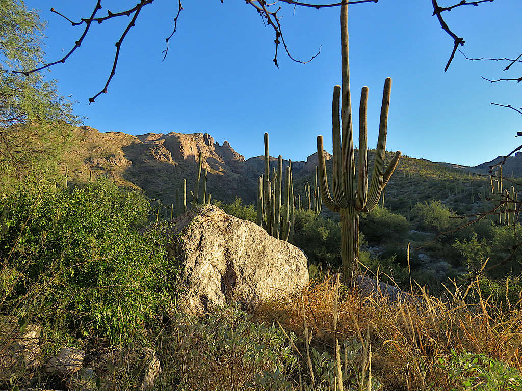
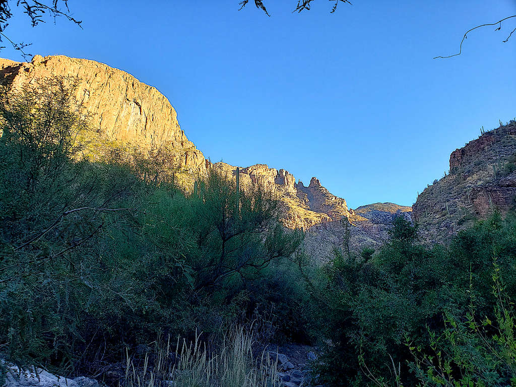
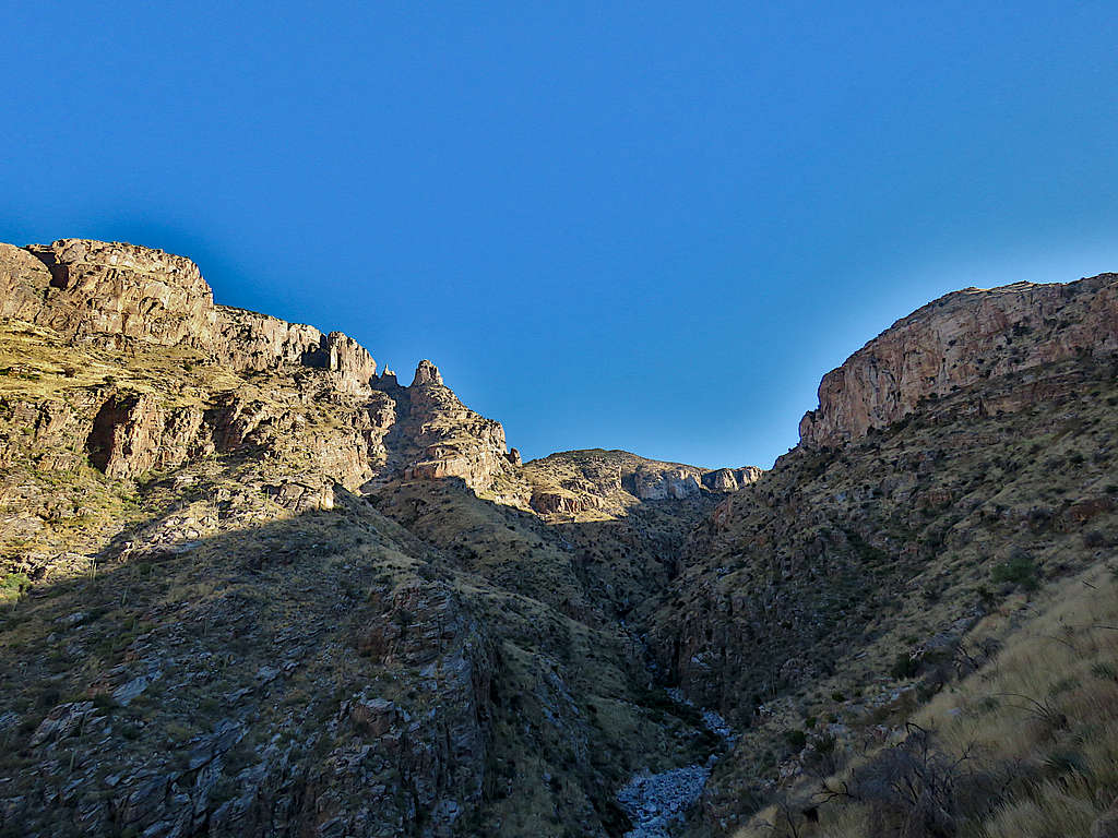
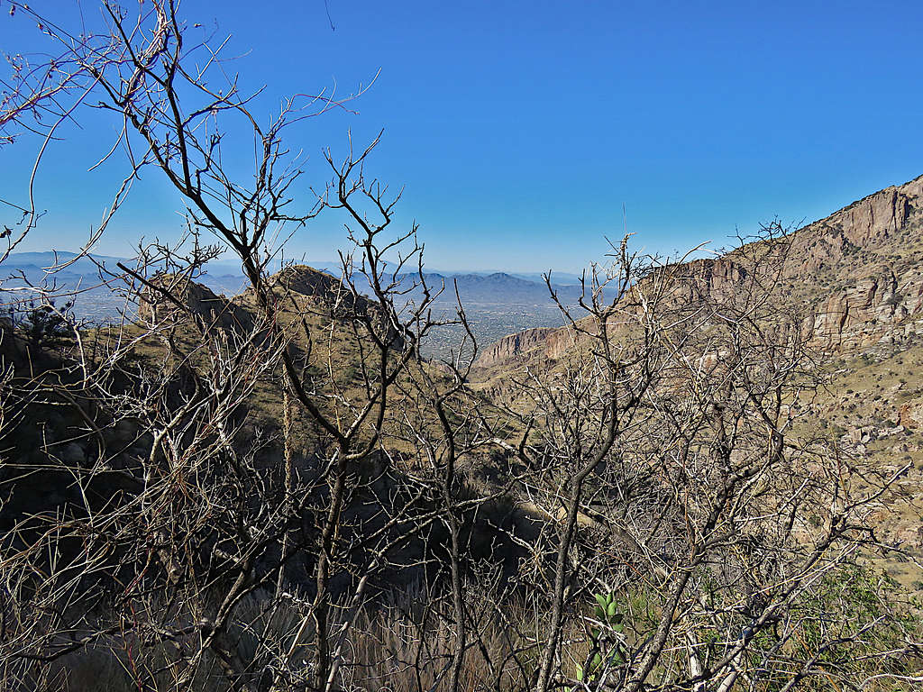
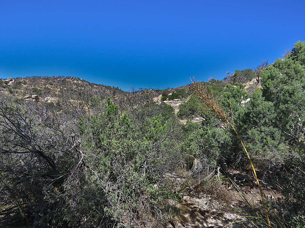
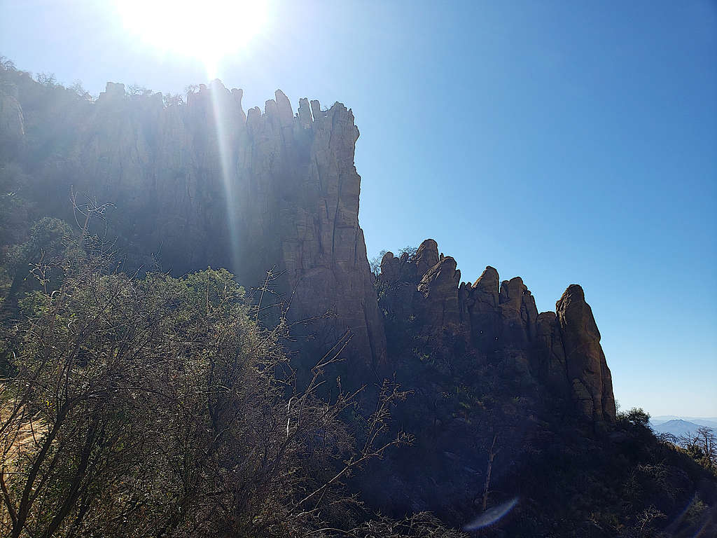
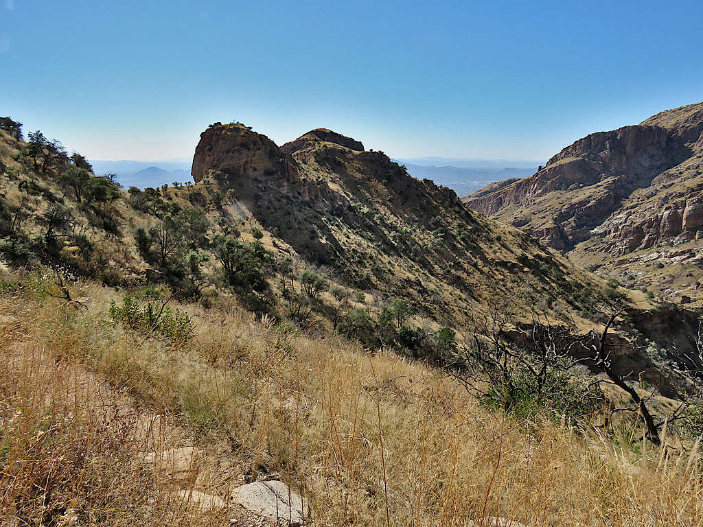
A canyon began to form. Peak 4625 ft and its wall seen.
At around 3500 ft elevation, the trail left the bottom of the canyon and began to climb its eastern wall traversing it along the length of the canyon. There were no more Saguaro Cacti above 4000 ft elevation. I was feeling very warm, probably psychological since I was in the shade, and it was probably cooler than 50 degrees F. Nevertheless, I began to ration my water drinking only 250 cc for every 1000 ft of vertical climb.
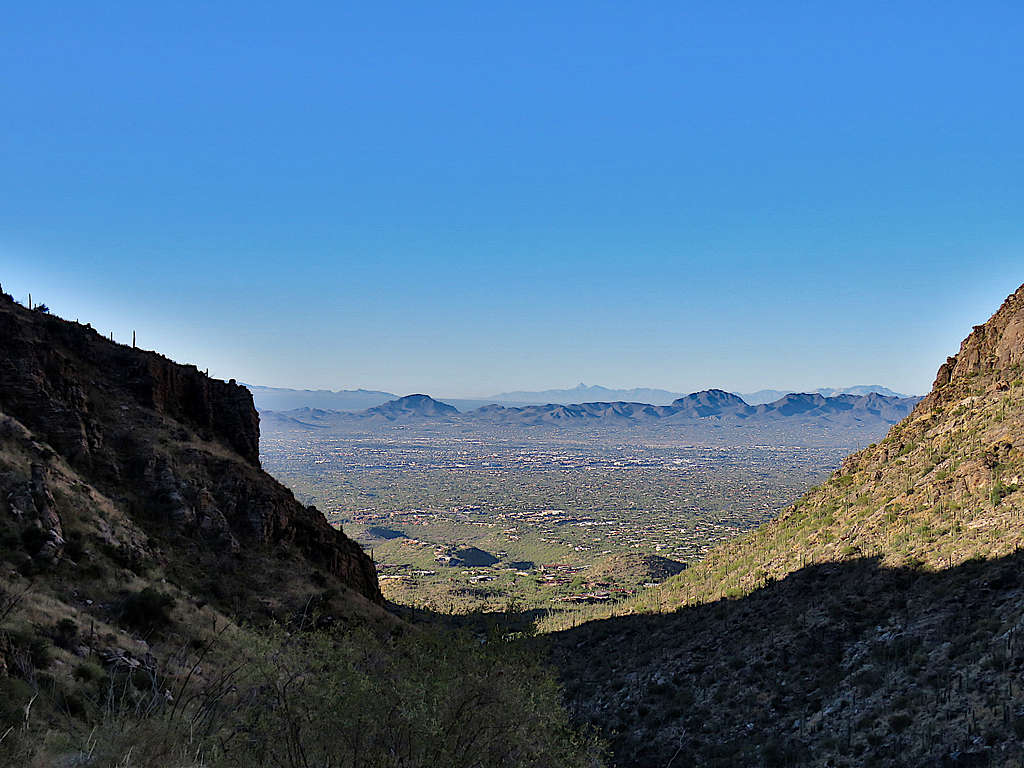
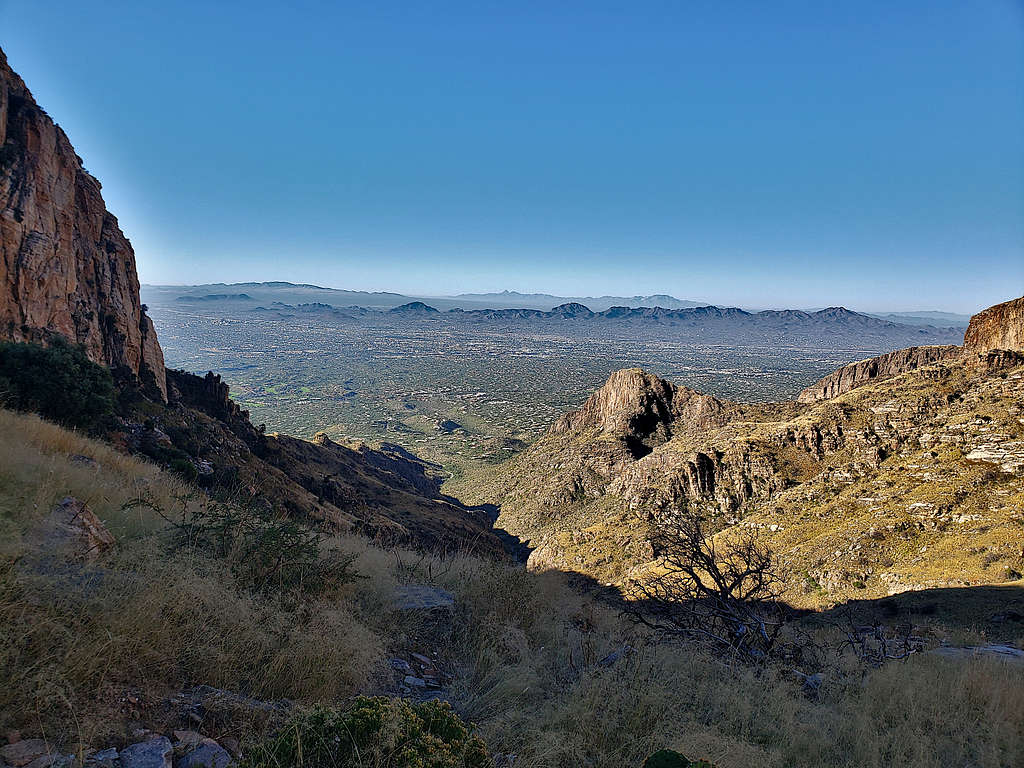
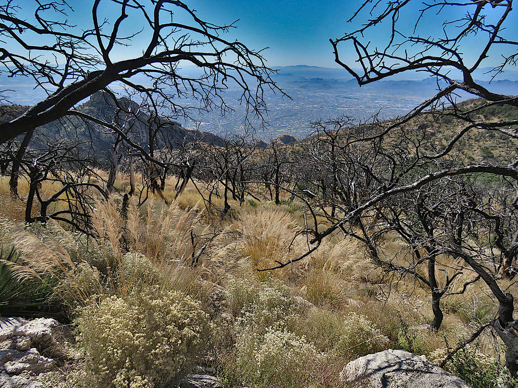
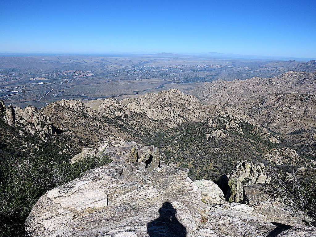
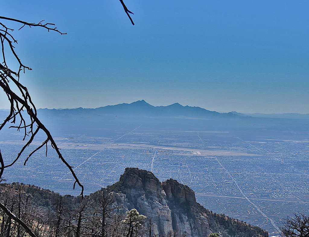
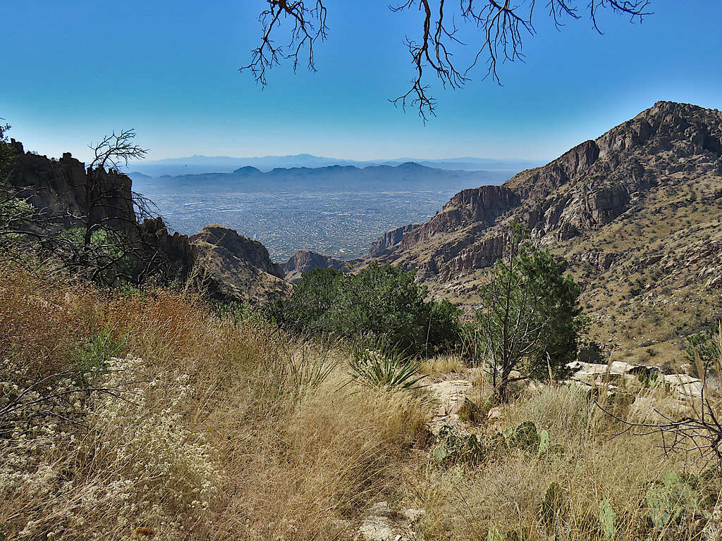
Looks back at the city and Finger Rock Canyon plus the lower Golden Gate Mountain, Wasson Peak etc. on the other side of the city, Plus the very distant Kitt and Baboquivari Peaks.
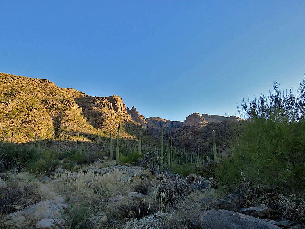
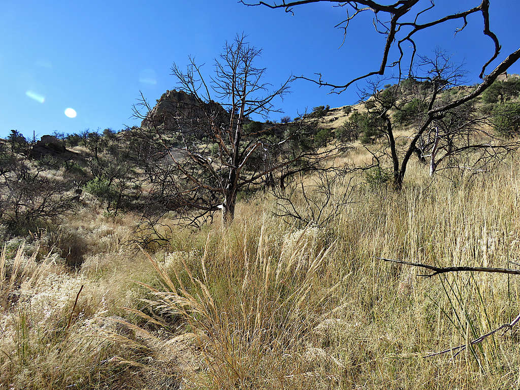
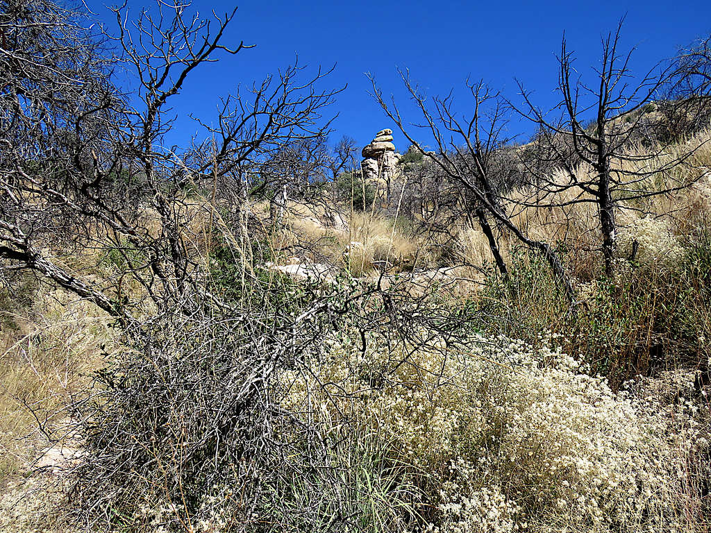
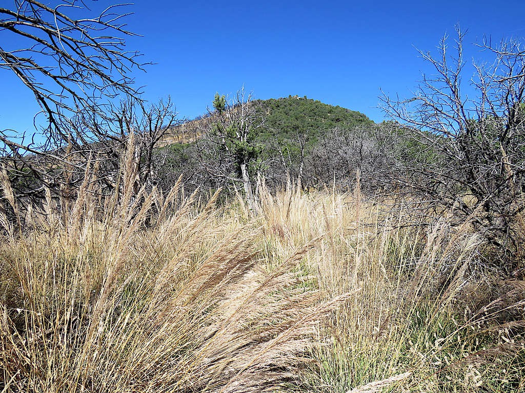
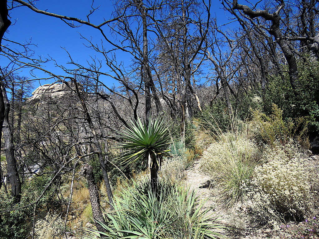
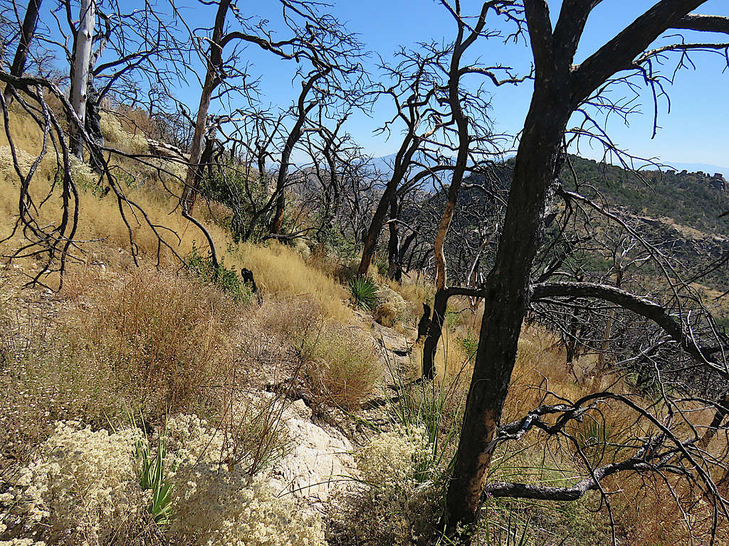
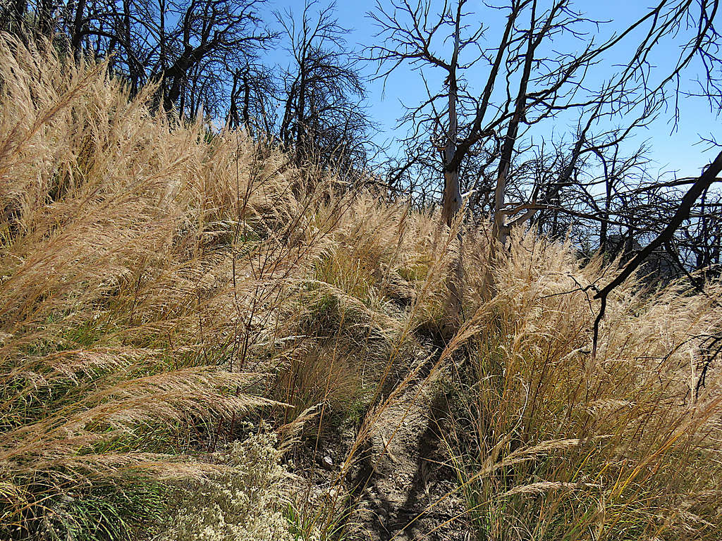
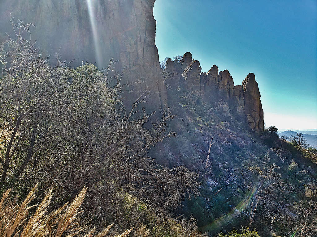
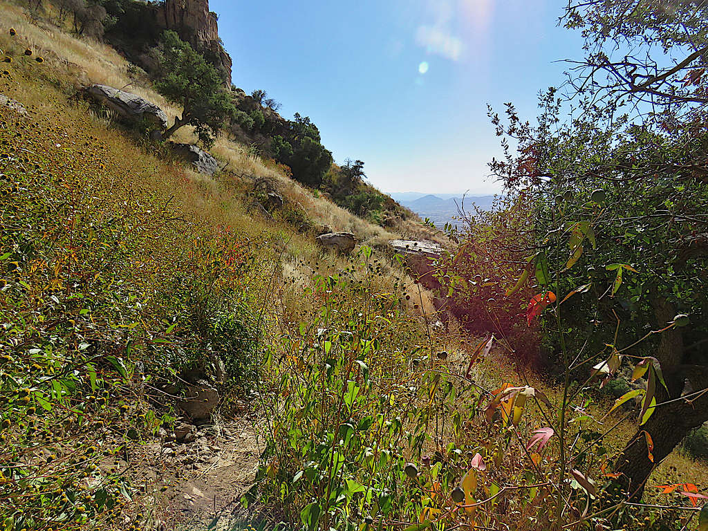
At around 5200 ft elevation, I was in the upper portions of Finger Rock Canyon. The trail took a turn to the east in a more open area exposing me to the sun but fortunately, I did not feel any warmer. Found myself in a tall yellow grass environment with many small trees that seemed to have burned in a forest fire.
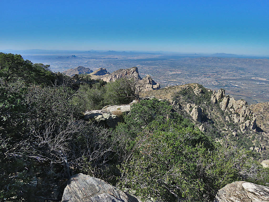
A look back at the city with the distant 4688 ft Wasson Peak. Point 5730 ft on the left.
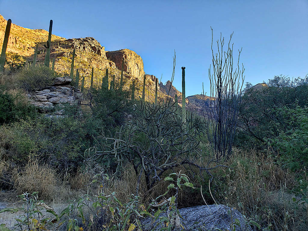
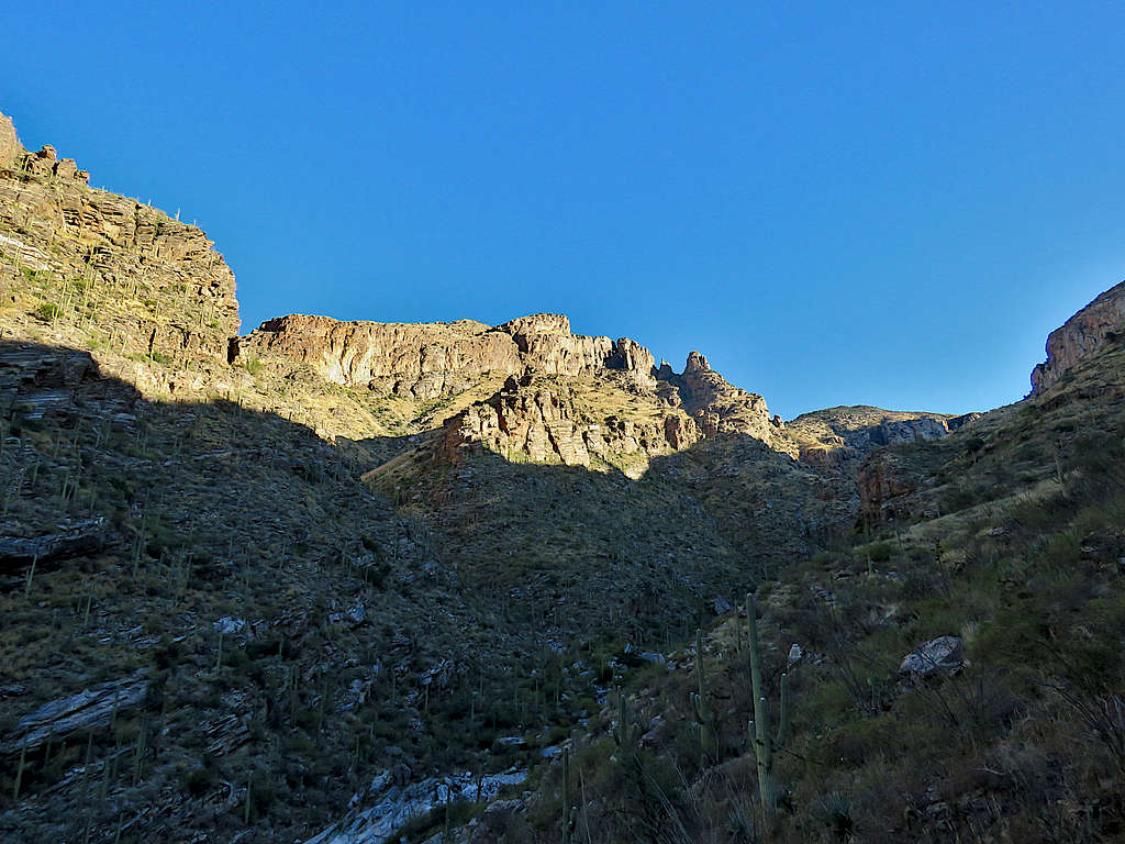
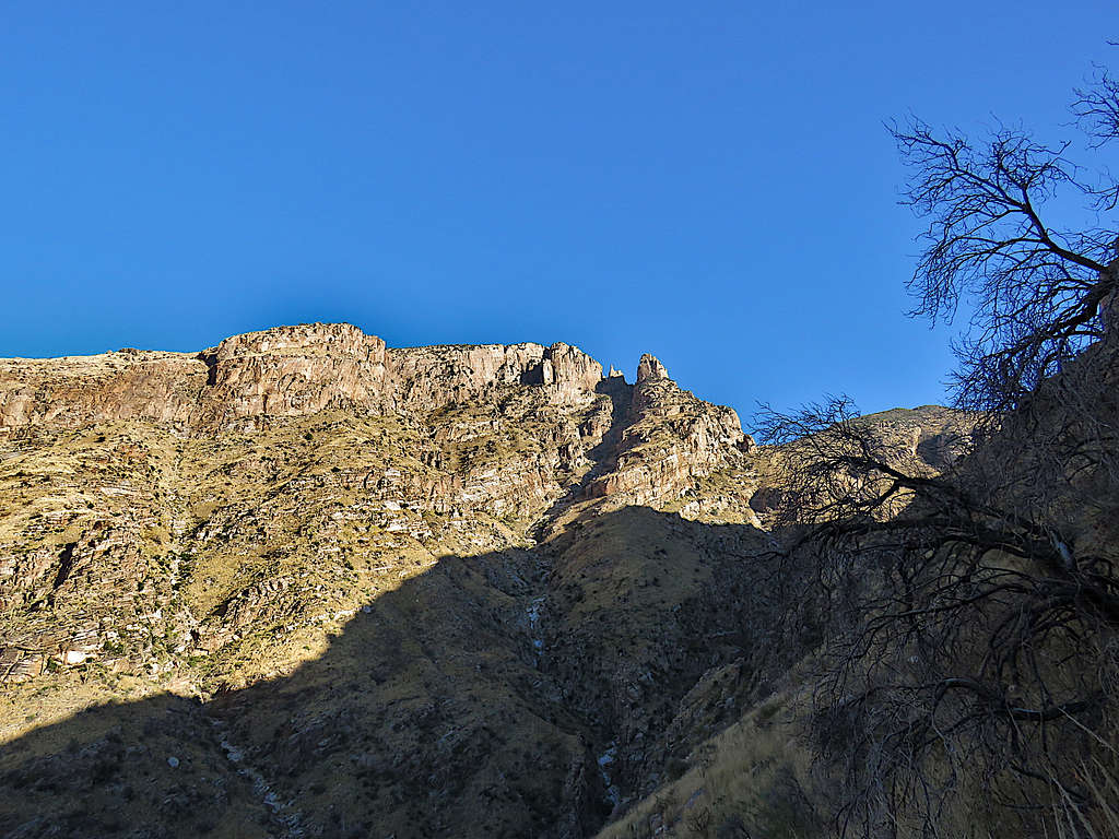
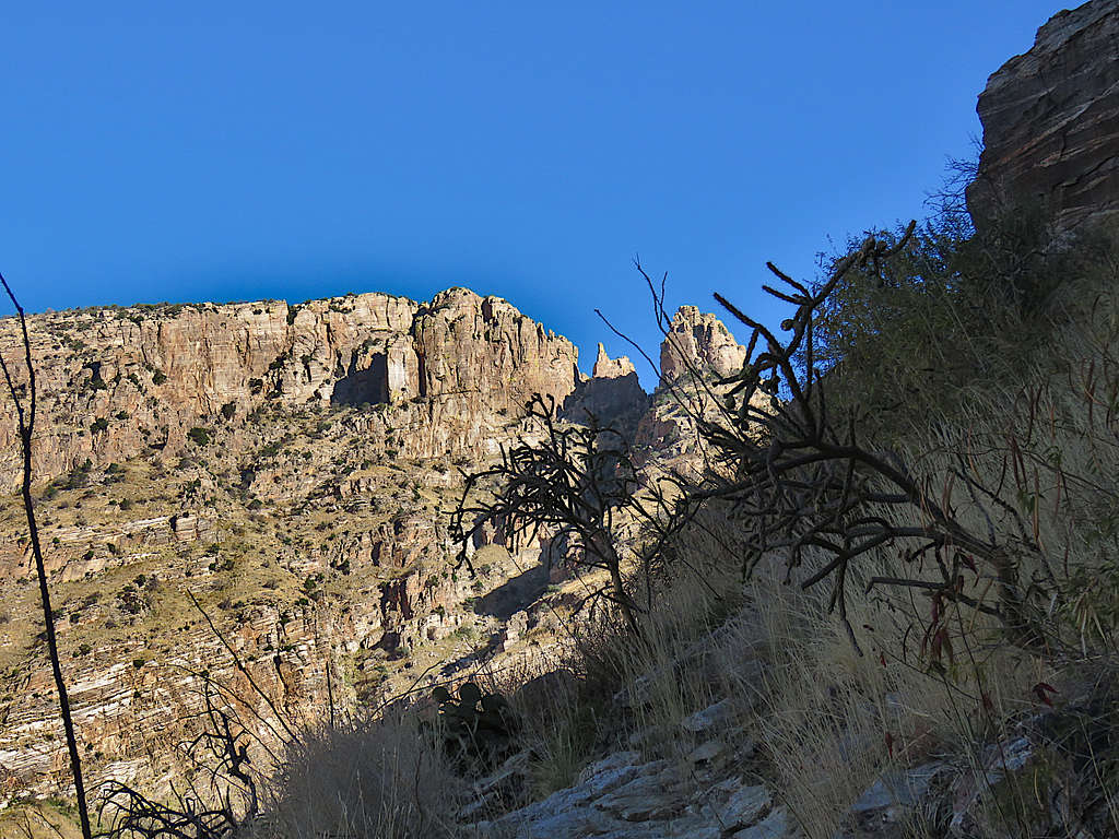
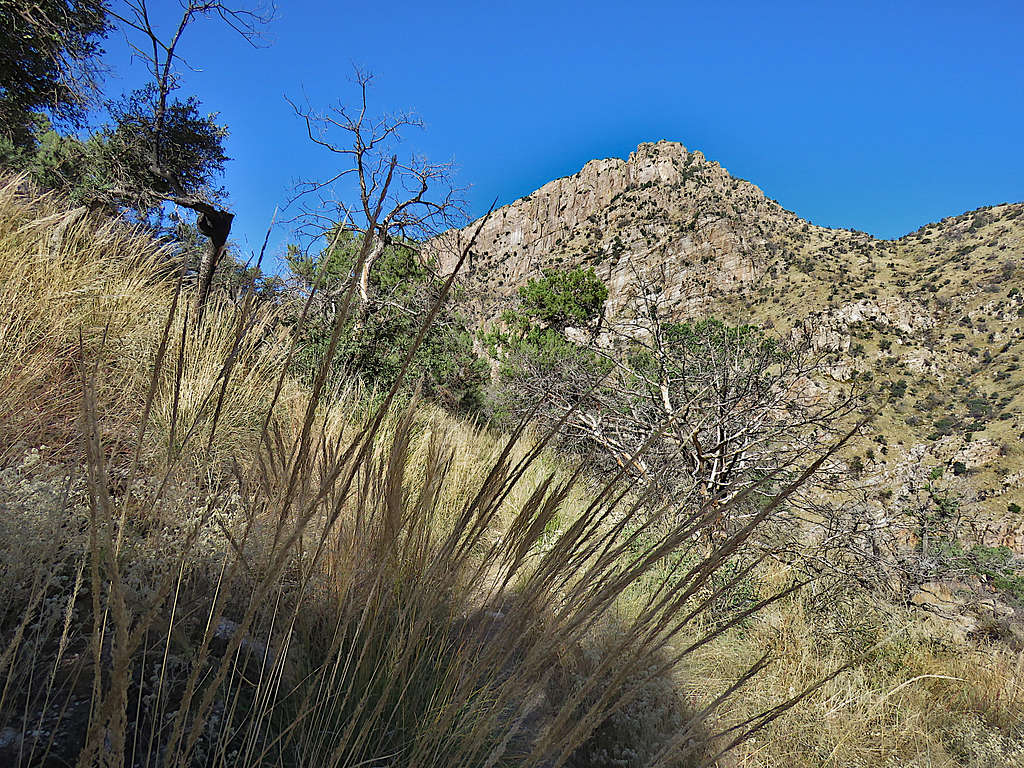
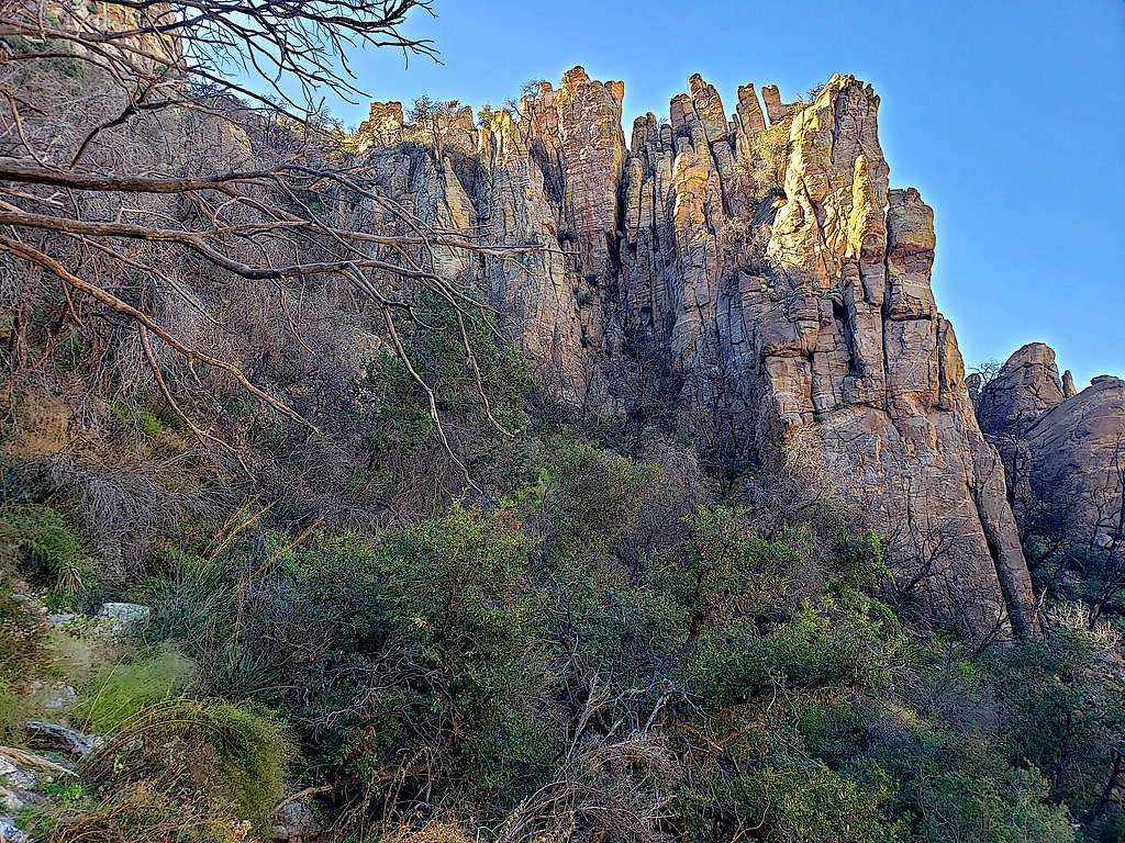
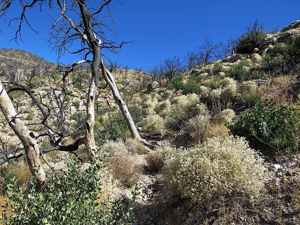
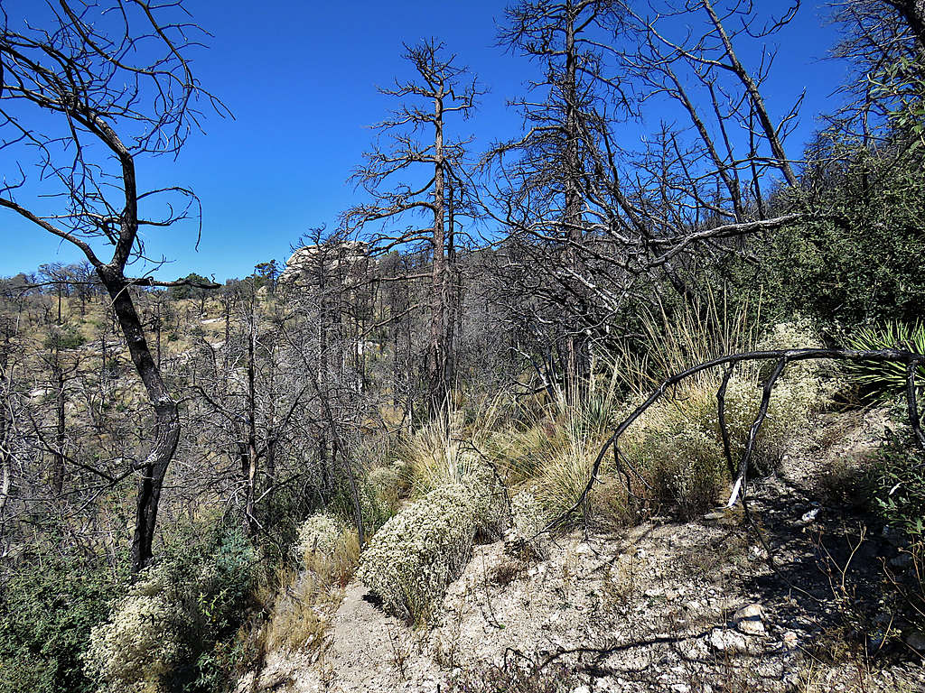
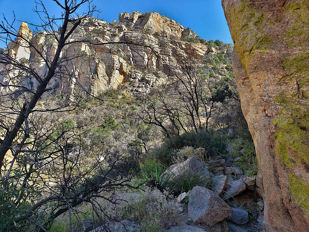
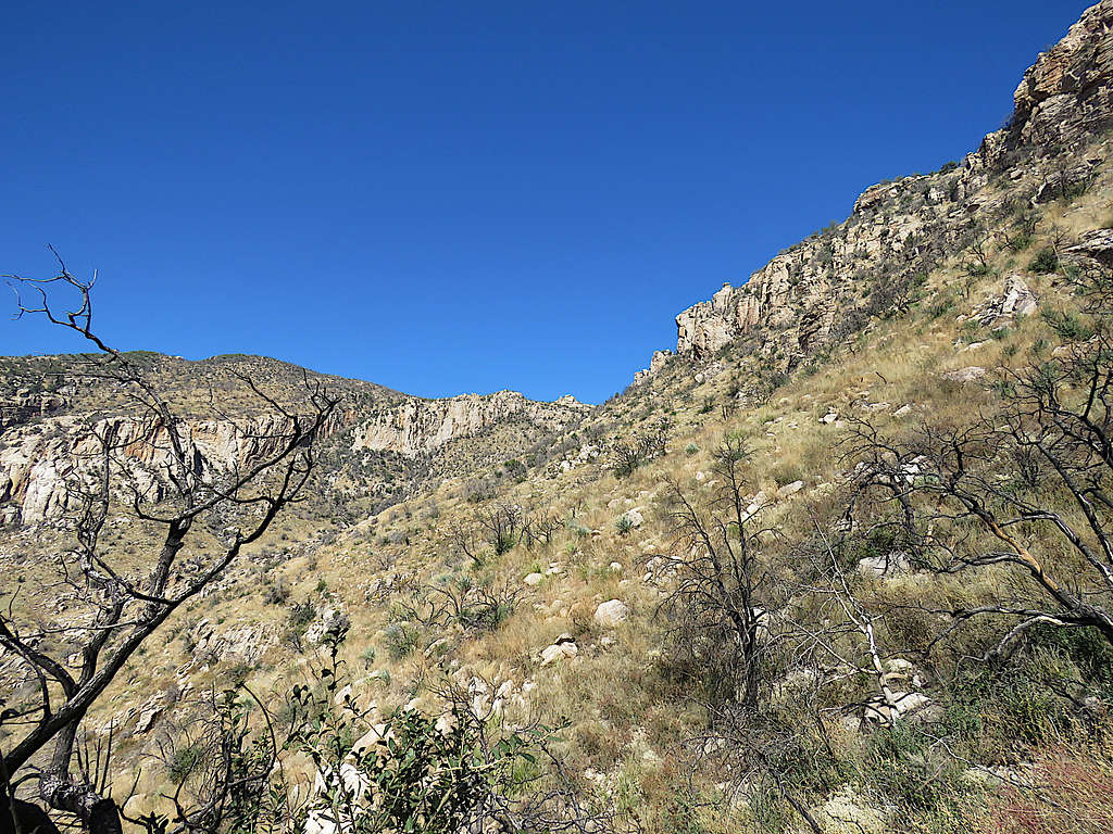
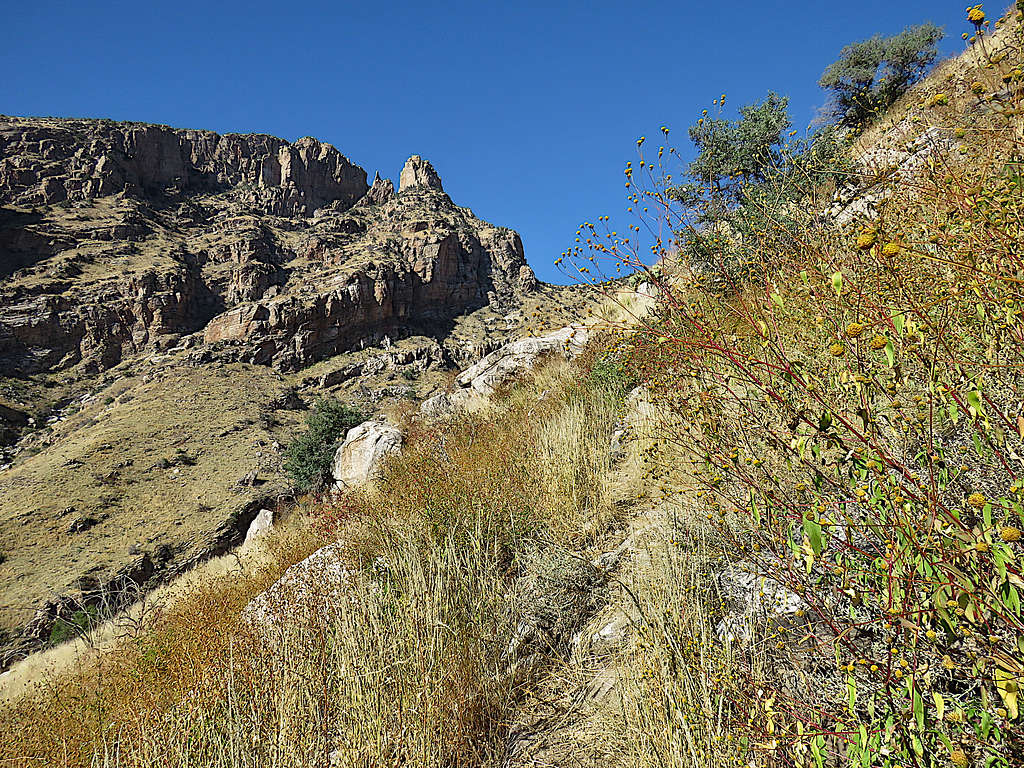
At around 6000 ft elevation, the trail went in the shade under the cliffs of the 6820 ft Gorp Peak on a steep and very overgrown slope. Not the type of place I wanted to lose the trail, but it did happen a few times. Fortunately, I had downloaded the correct path into my GPS from the Caltopo mapping site. Was glad to see the information in my GPS was accurate to within a few feet. The nasty stuff soon went away, and the trail became more well-defined again. Looking back at the cliffs.
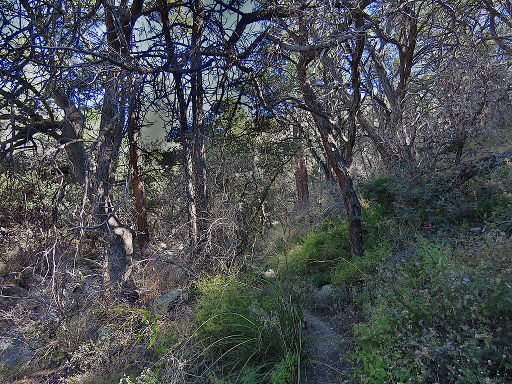
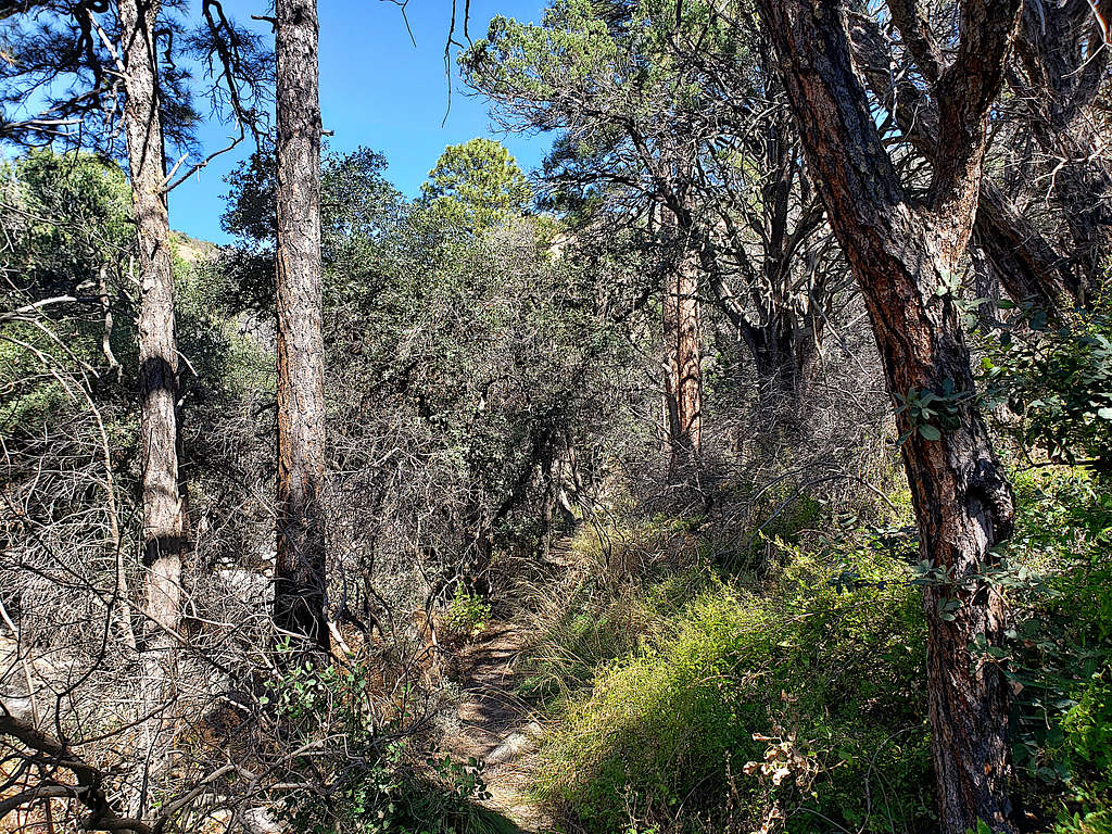
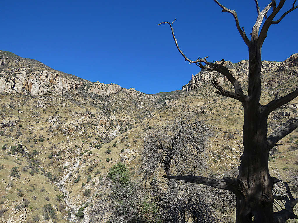
A relatively flat area with a lush forest at 6200 ft elevation.
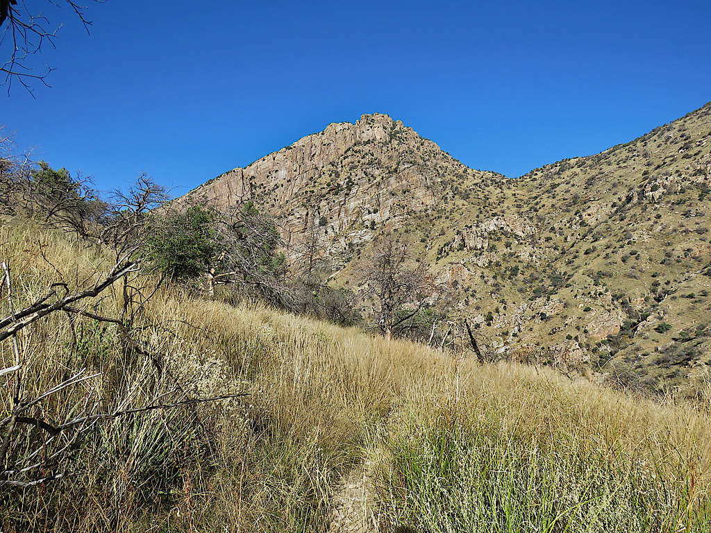
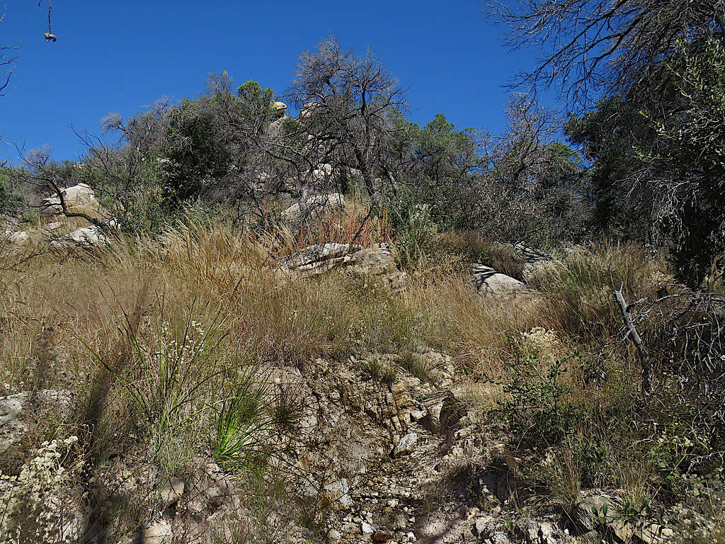
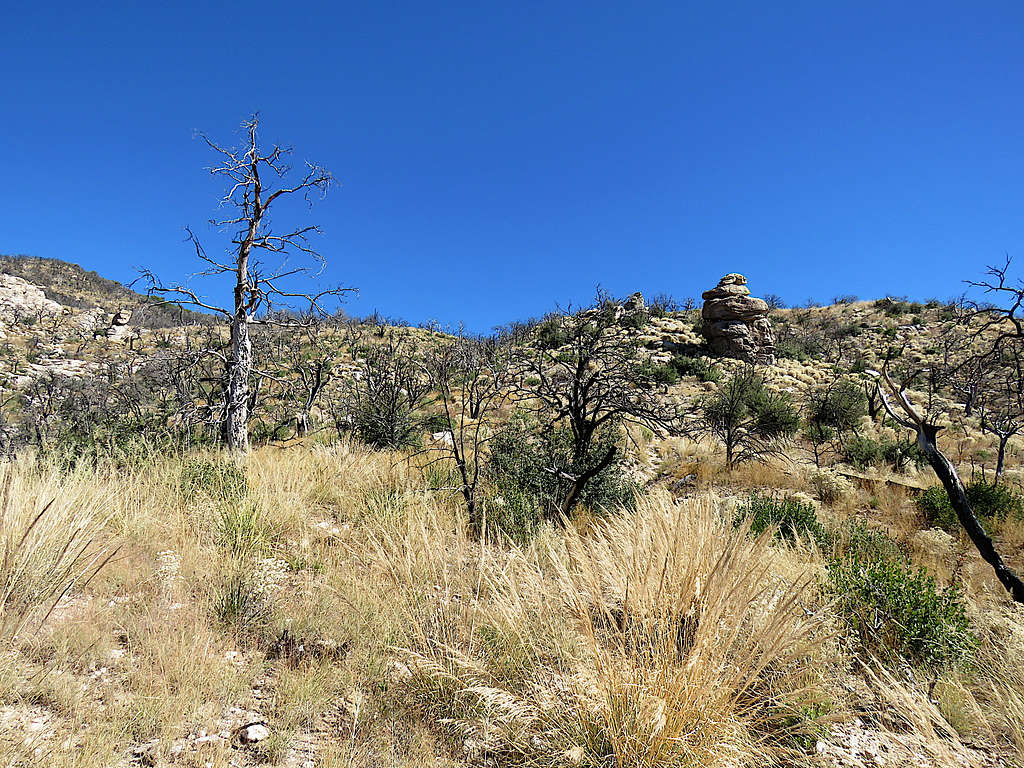
Out of the forest, I was back on a yellow grass slope with burnt trees pushing uphill and starting to feel hot.
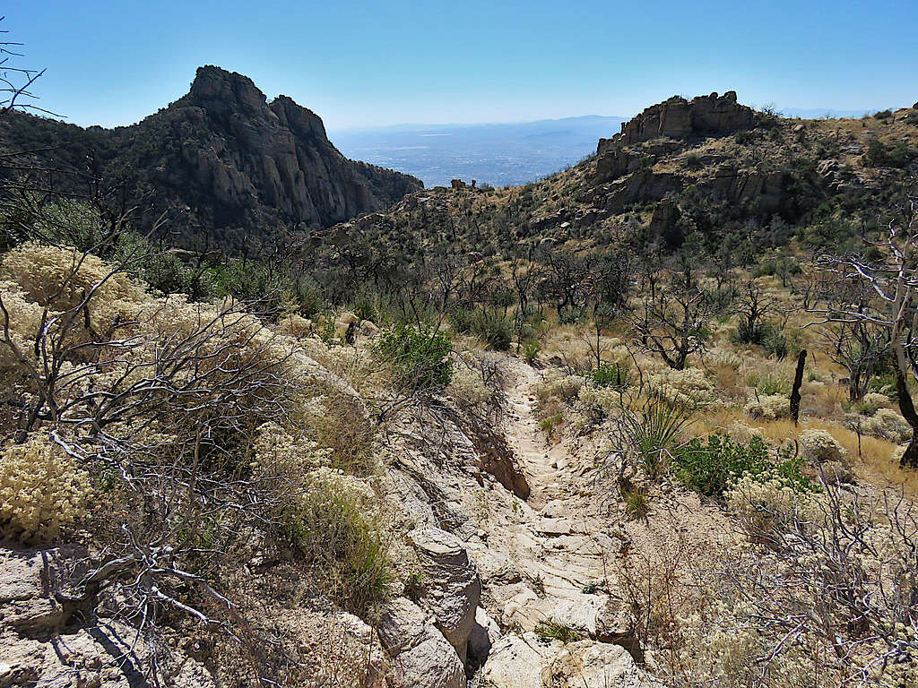
At 6880 ft, I reached the junction with another trail. Could see the summit which appeared as a hill with unburnt forest.
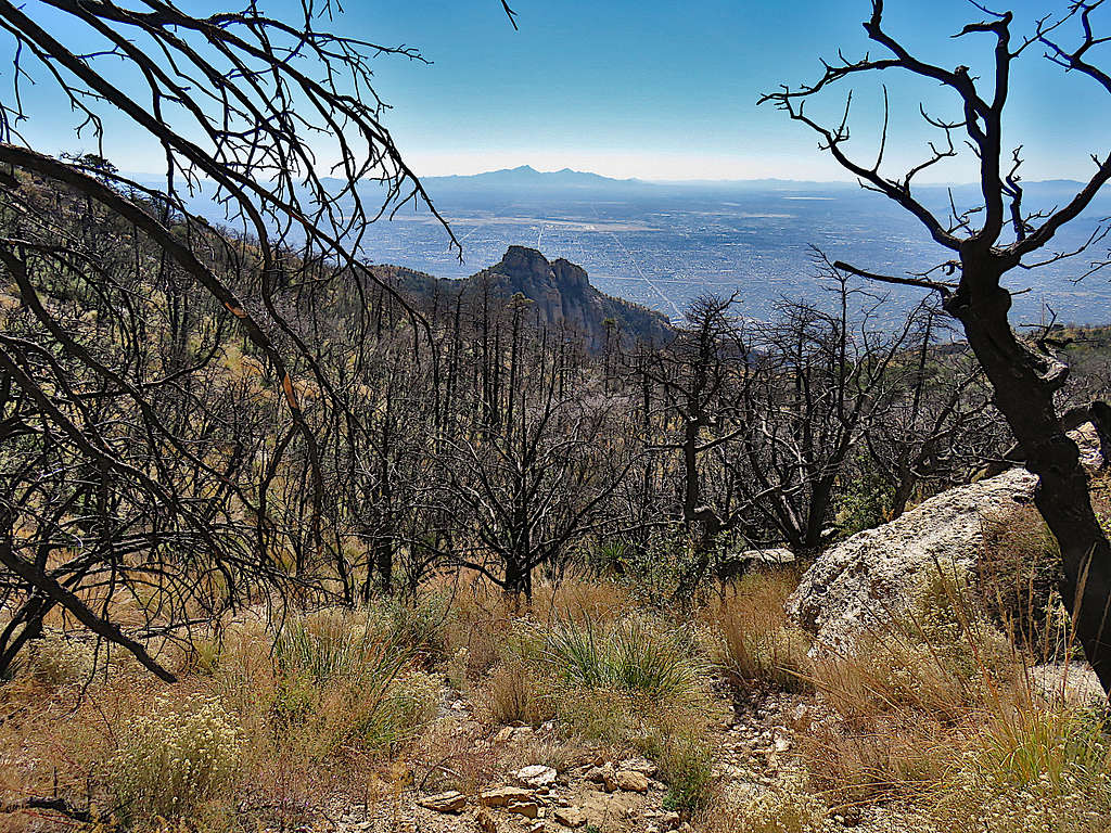
The last bit felt hot and tiring. The city and more burnt forest.
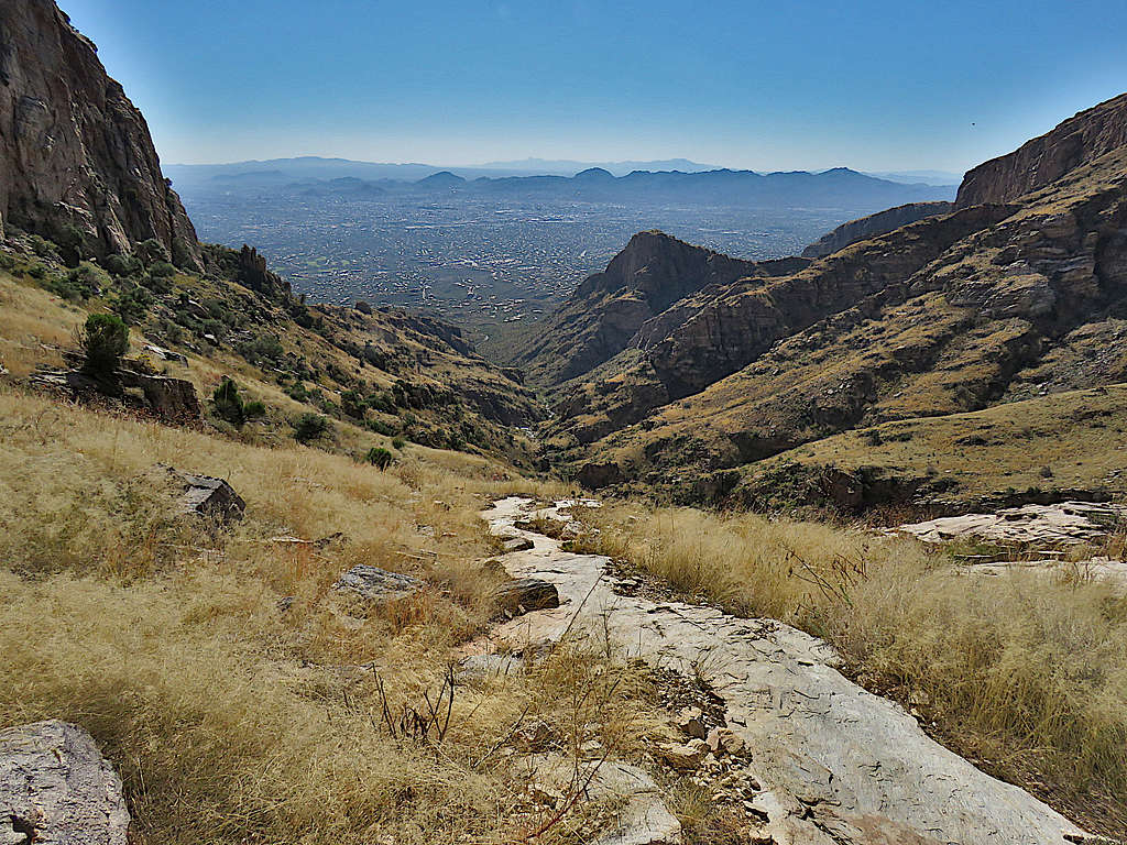
Was finally on the summit which was a large area with unburnt forest and hardly any views. Kept going until at 11:30 AM, I reached the end of the path in my GPS at the edge of a cliff with great views. Sat there on a cold rock in the shade to rest and eat. I still had 2 liters of water left.
Mt. Lemmon, Cathedral Rock and Window Peak to the northeast.
Looking north at Oro Valley. The vacation rental house somewhere on the left side of the picture.
Looking west at Table Mountains, Bighorn Mountain and Pusch Peak.
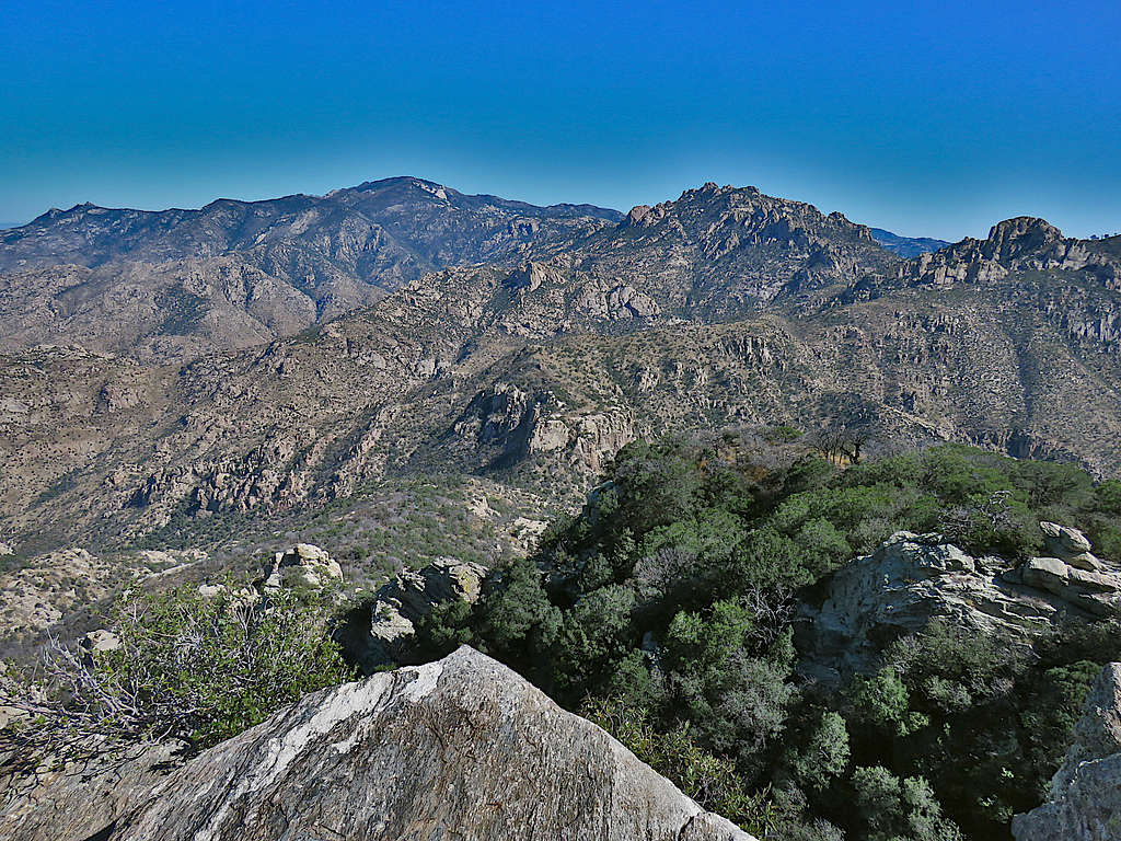
View southeast to Mica and Rincon Mountains.
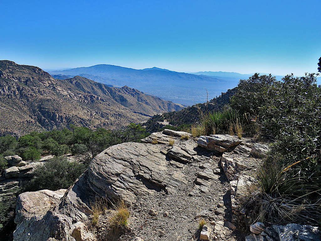
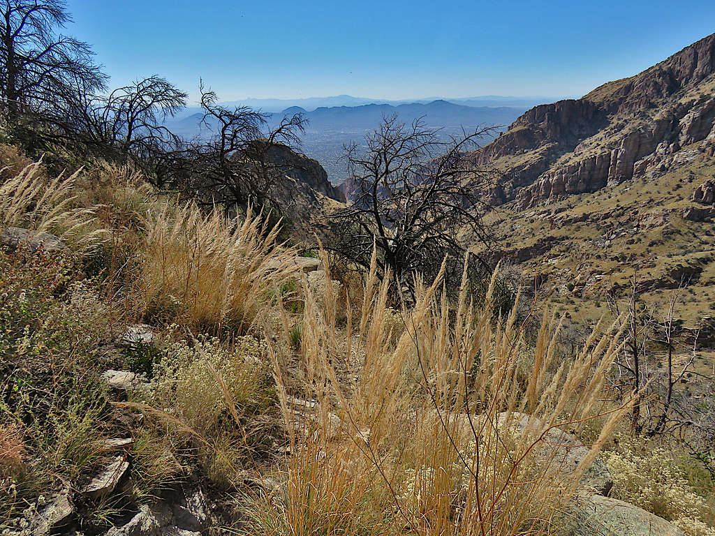
Left at 11:55 AM going back the way I had come up. Mt. Wrightson 50 aerial miles away, with the city of Tucson and Gorp Peak in front.
Continuing down.
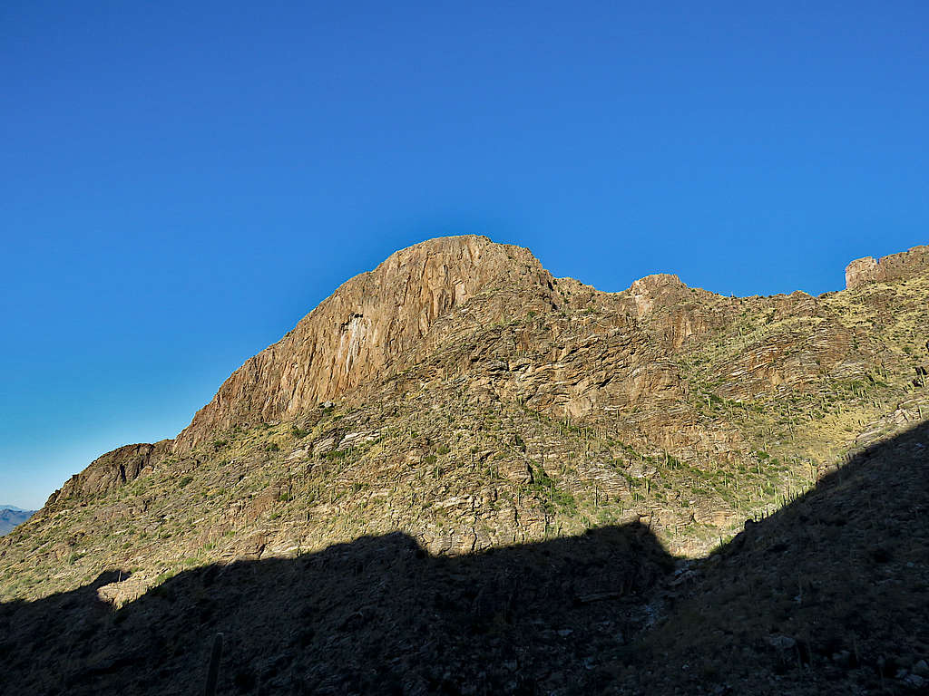
Gorp Peak.
Point 6628 ft on the right, City of Tucson with Wasson Peak and Golden Gate Mountain (plus more distant mountains). The cliffs of Gorp Peak on the left.
The forested area again at 6200 ft.
The nasty overgrown slope under the cliffs of Gorp Peak again.
Further down, I mildly hyperextended my right knee a little causing some pain. Did not want to get stranded there since I still had 2600 vertical feet to descend, therefore, I started to go slow and did ok.
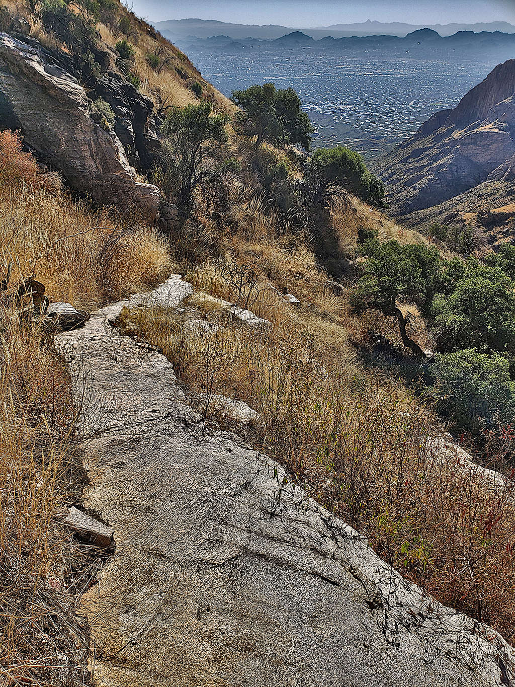
At 5200 ft elevation, I was back to the top of Finger Rock Canyon heading southwest directly into the low afternoon autumn sun. Had white pants, long sleeve shirt and hat on, fortunately did not feel hot. In a few places, a narrow strip of slickrock defined the trail.
Continuing down.
When I had less than 1000 vertical feet to descend, I saw a lone lady walking up dressed in nothing more than hiking boots and a bikini. Never mind the burning sun, what did she do about all the thorns? Shortly after that, she came down fast and I saw scratches on her thigh. Further down, saw another lady dressed regularly coming up. Those were the only people I saw all day.
Reached my car at 4:30 PM.