
|
|
Mountain/Rock |
|---|---|
|
|
33.49739°N / 105.80351°W |
|
|
Download GPX » View Route on Map |
|
|
9957 ft / 3035 m |
|
|
Overview
Rank: Nogal Peak is New Mexico's 231st highest ranked peak and 144th most prominent peak
Prominence: 1197 ft
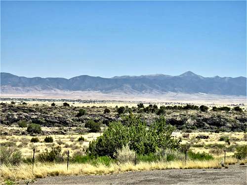
Nogal Peak rises in White Mountain Wilderness of Southern New Mexico to the north of Sierra Blanca Peak near the town of Ruidoso. A four wheel drive road goes to a 8792 ft saddle known as Crest Trailhead to the east of the summit of Nogal Peak. From the trailhead a short but steep trail takes you 1.35 miles and 1165 vertical feet up to the summit of Nogal Peak where you will have commanding views of the surrounding mountains as well as the deserts to the west including the white sands of White Sands National Park and the black lavas of Valley of Fires.
Crest Trailhead Saddle can be approached from the south via Bonito Creek Canyon or from the north via Nogal Canyon. When I visited the area, the dirt road in Bonito Creek Canyon was well graded and in dry conditions, seemed to be passable by any vehicle. Without four wheel drive, one could park at the intersection of Forest Roads 107 (Bonito Creek Road) and 108 (Crest Trailhead Saddle Road) and hike the road to the saddle. This will increase the one way hike to 4.6 miles with 2280 ft of elevation gain. Other longer approaches via Skull Springs Trailhead or Turkey Canyon Trailhead are also possible.
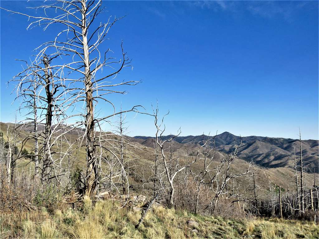
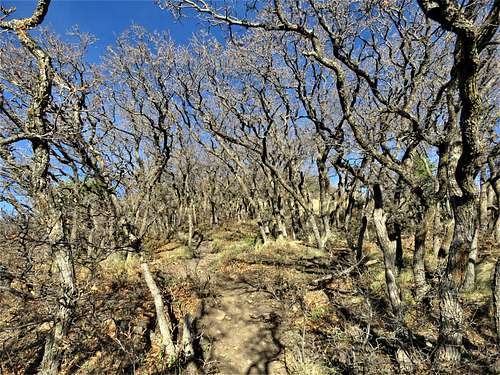
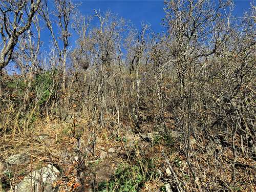
Please be ware that the slopes of the summit of Nogal Peak are covered by seemingly impenetrable growths of shrubs and bushes. Attempting to hike to the summit via paths other than the trail, is likely to result in extreme bushwhacking.
Tall grass, scrub oak and other miscellaneous shrubbery give this cone shaped peak a unique look.
|
|
Getting There
From Ruidoso, New Mexico, drive roughly 10 miles north on Route 48 to reach the junction with Route 37. Follow Route 37, 1.3 mile north (west) and turn west onto Forest Road 107 (Bonito Reservoir Road). Continue 7.5 miles on 107 to reach the junction with Forest Road 108 (When I was in the area, Forest Road 107 was well graded and seemed passable by any vehicle in dry conditions). Turn north onto Forest Road 108 and go 3.25 miles to Crest Trailhead Saddle (Forest Road 108 is considered to be a four wheel drive road, I drove a Jeep Wrangler but did not need to use four wheel drive).
Route
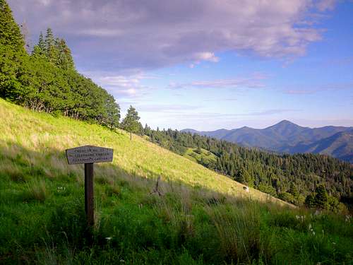
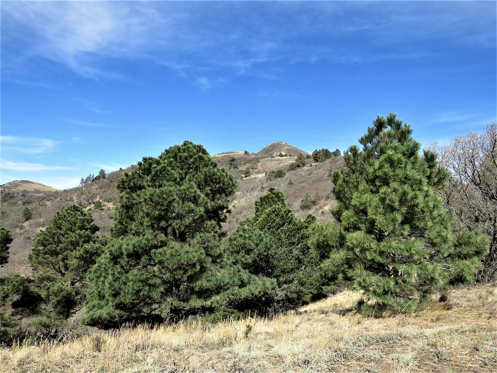
From Crest Trailhead, the 1.35 mile hike along the trail is pretty straight forward.
Views of the summit from the trail
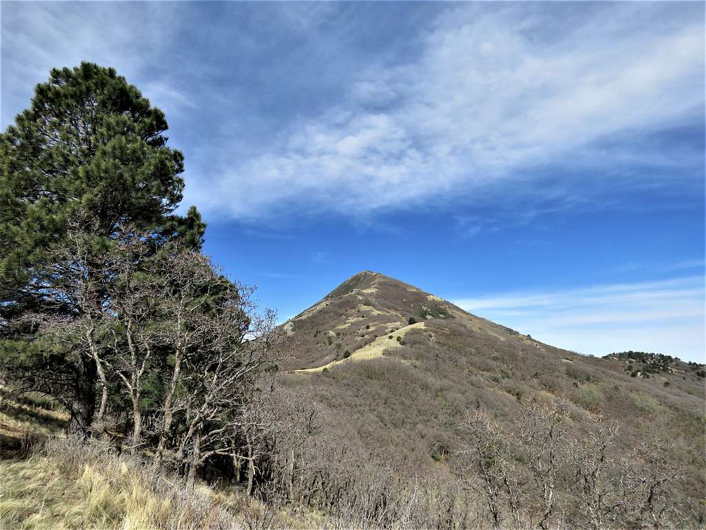
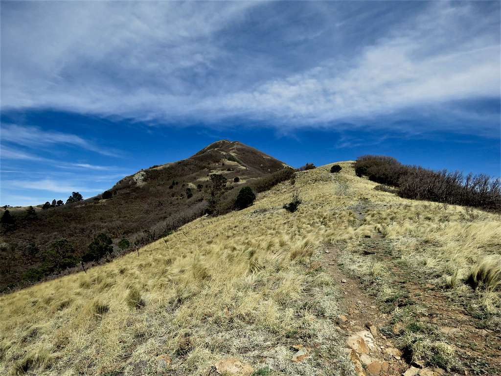
Without the trail, bushwhacking would have been extreme.
|
|
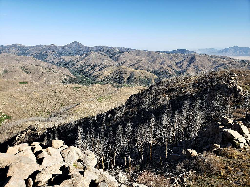
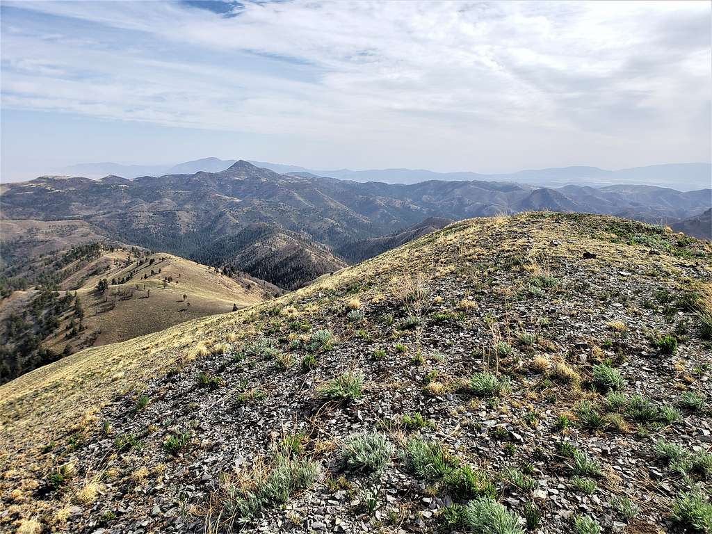
Views from the Summit
Zoomed views on Sierra Blanca Peak, White Horse Hill, White Sands National Park, Valley of Fires lava field and Monjeau Peak
When to Climb
Spring, Summer and Fall.
Spring is the dry season and summer the rainy season.