|
|
Trip Report |
|---|---|
|
|
35.40154°N / 111.52666°W |
|
|
Download GPX » View Route on Map |
|
|
Sep 6, 2021 |
|
|
Hiking |
Overview
The 8938 ft O’Leary Peak rises in San Francisco Volcanic field to the northeast of Flagstaff, Arizona. It has two summits separated by a 8750 ft saddle. The lower eastern summit is 8916 ft high and has an observation tower. A dirt road turned into a trail goes all the way to the top of the eastern summit where you can get great views of the surrounding mountains including the 12633 ft Humphreys Peak, Arizona’s highest.
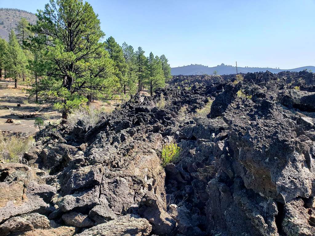
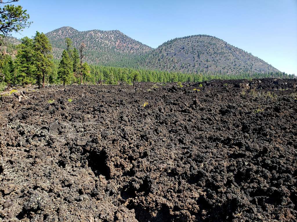
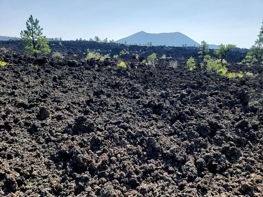
Near its start, the trail parallels the edge of Bonito Lava Flow in Sunset Crater National Monument
Trip Report
Hike Length: 10.2 miles
Total Ascent: 2150 ft
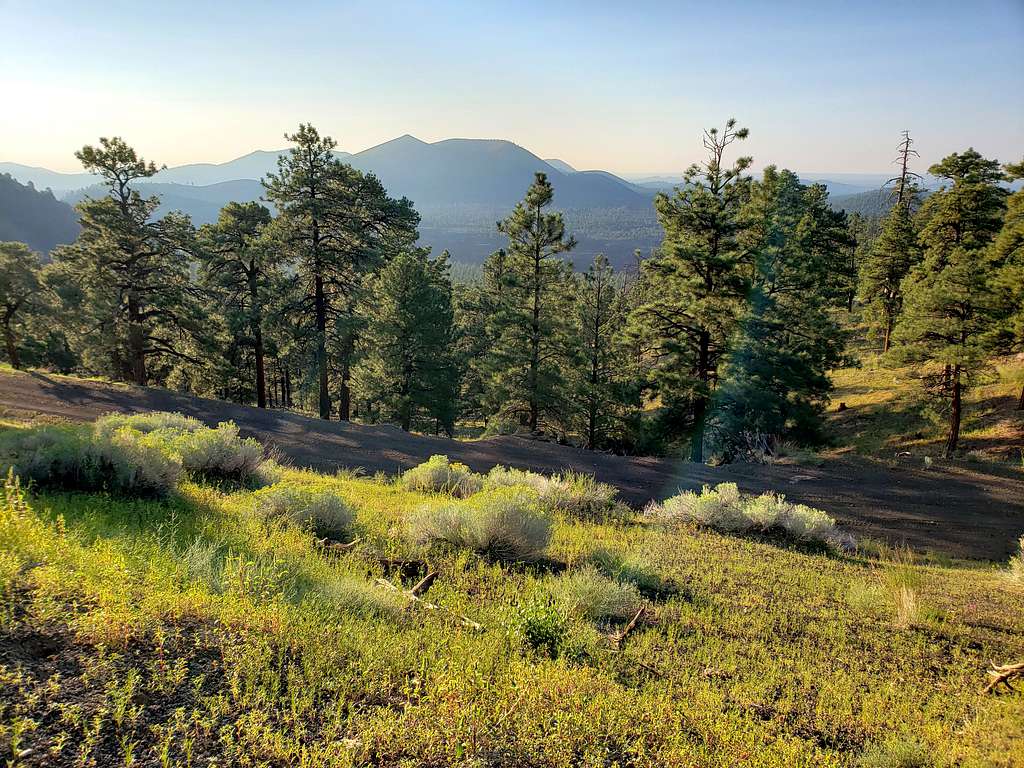
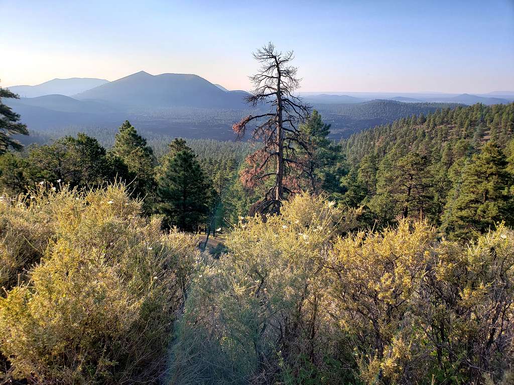
Kris and I started our hike at the official trailhead at 5:55 AM. Elevation was 6950 ft. The trail went in a sparse forest of tall Ponderosa Pine trees on black volcanic dirt. View of Sunset Crater.
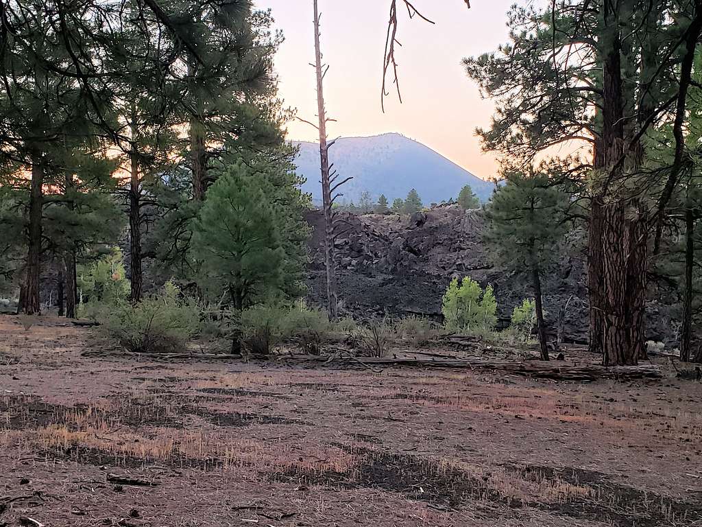
First view of the double summits of O’Leary Peak and Darton Dome.
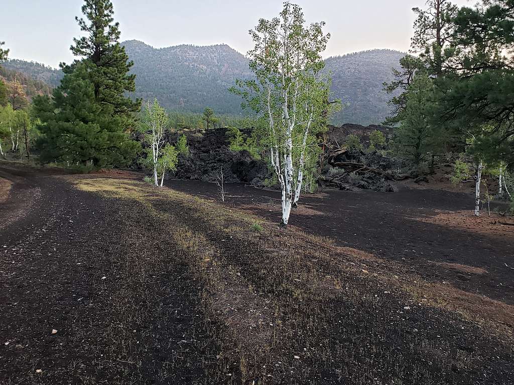
For the first mile, the trail did not go up in elevation and actually slowly went down to a minimum of 6920 ft. View of Robinson Mountain.
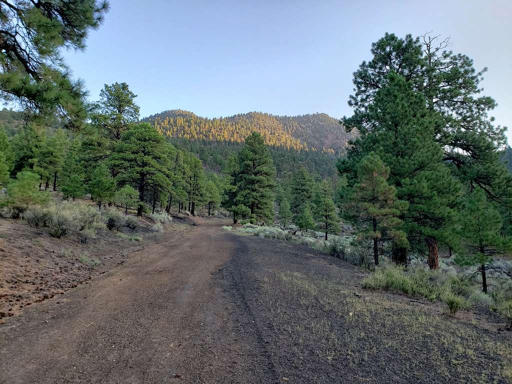
The climbing then began.
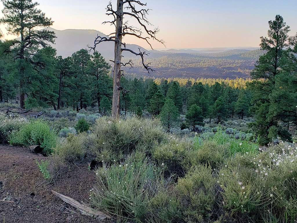
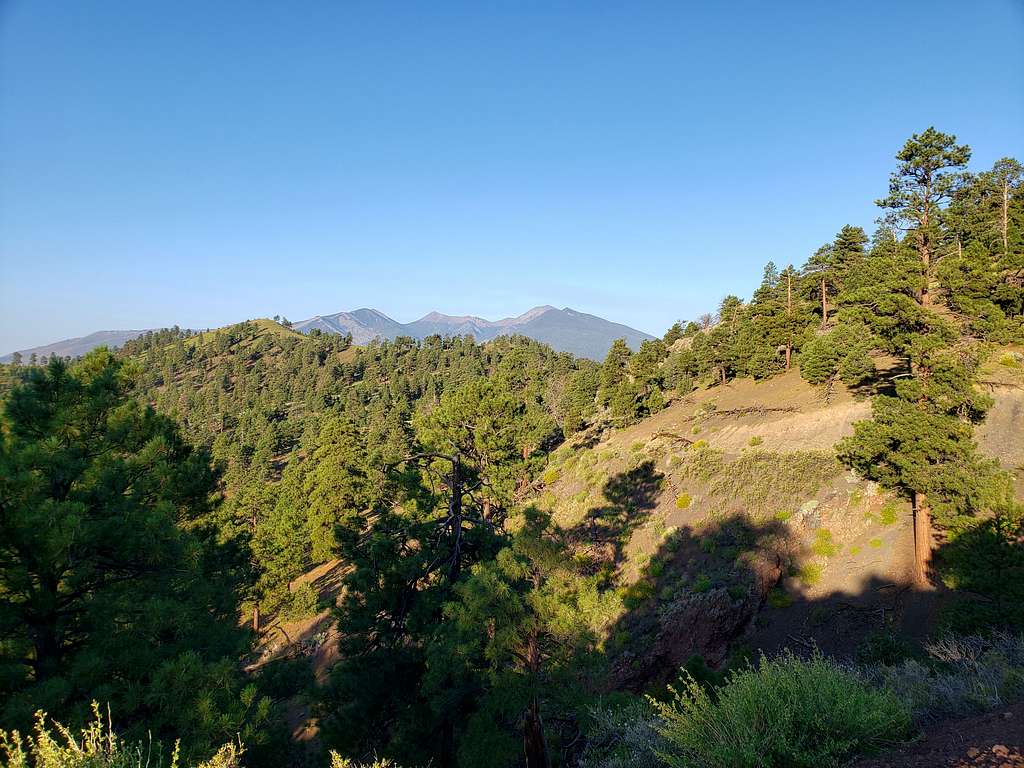
First view of Humphreys, Agassiz and Fremont Peaks to the southwest.
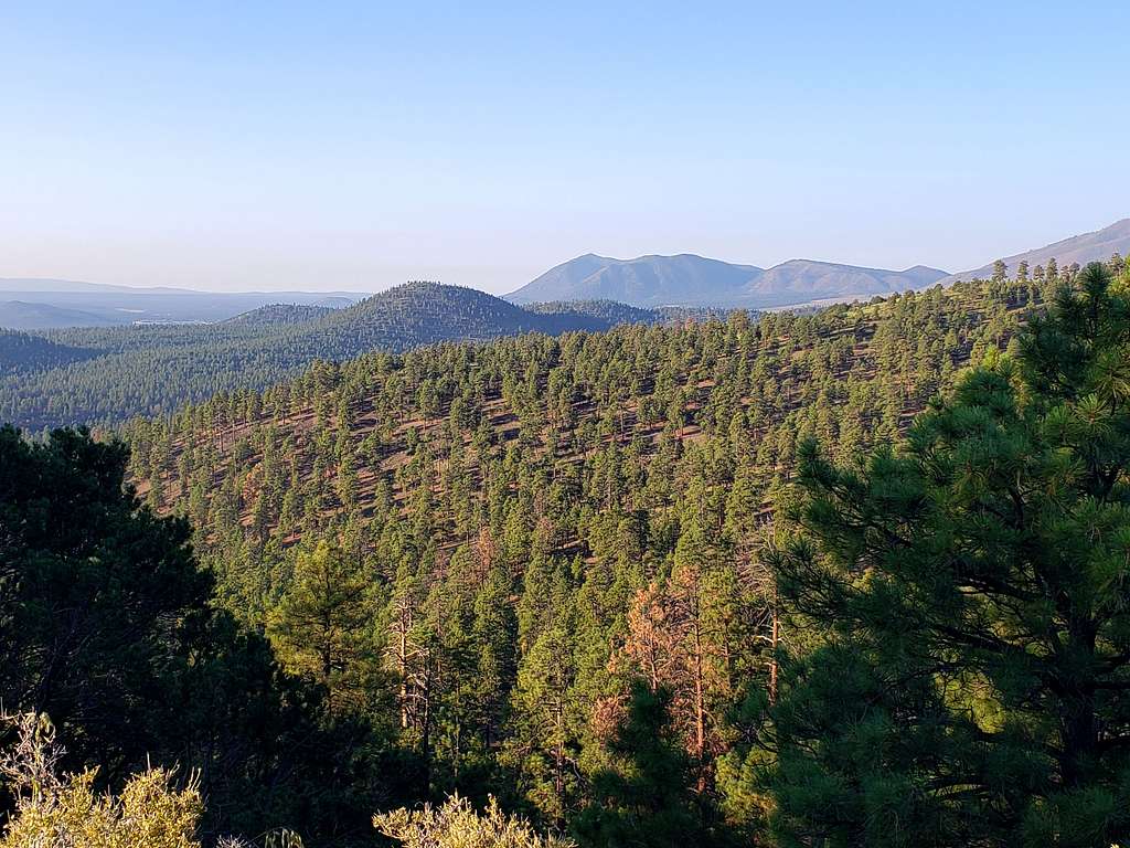
Elden Mountain.
More views of Humphrey Peak.
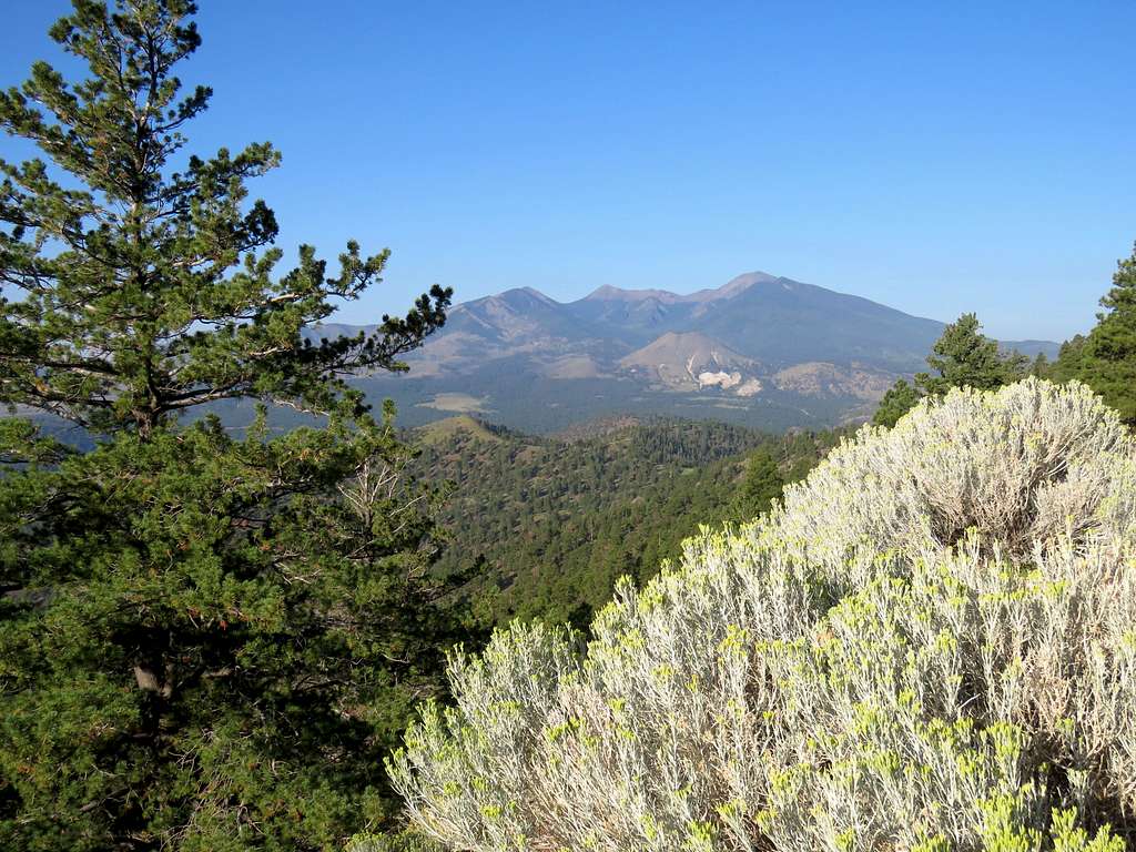
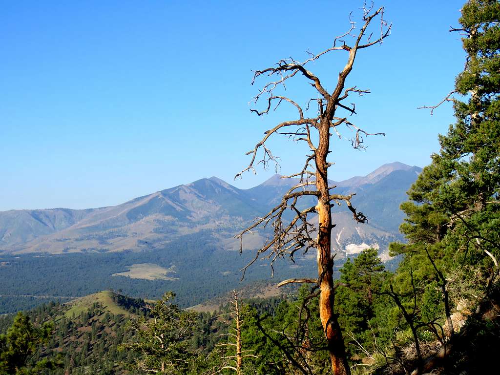
The last piece to the top was very steep. Reached the summit at 8:10 AM and 5.10 miles. The top of the observation tower was closed but I was able to go up a few steps to take some pictures. Humphreys Peak and the distant Kendrick Peak.
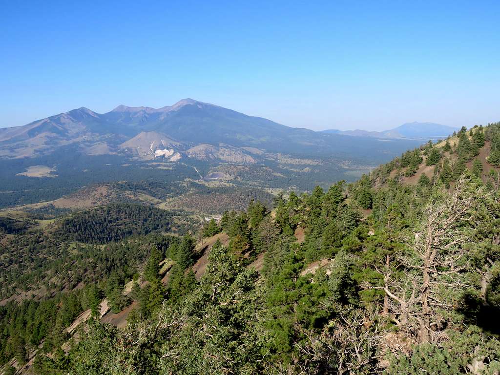
Sunset Crater.
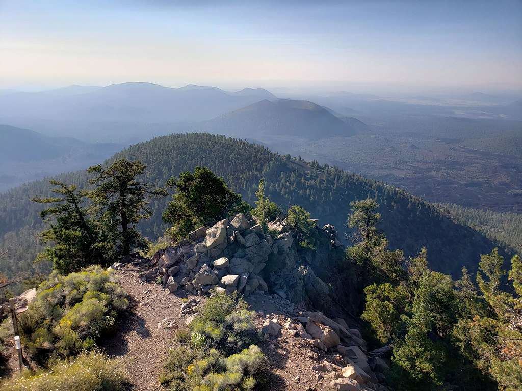
Ate and enjoyed the views, then left at 8:45 AM going back down the way we had come up. More views of Humphreys Peak and Elden Mountain.
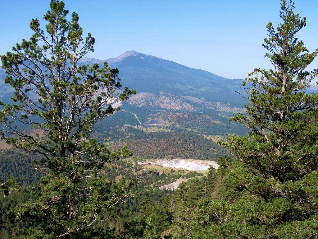
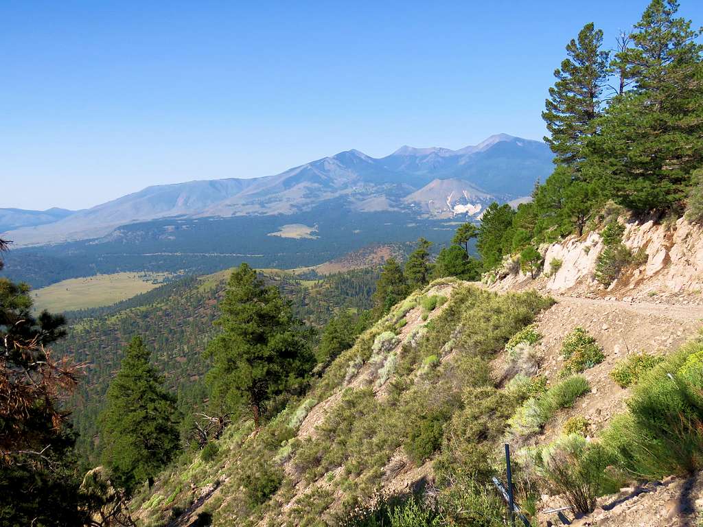
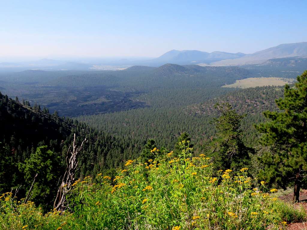
More views.
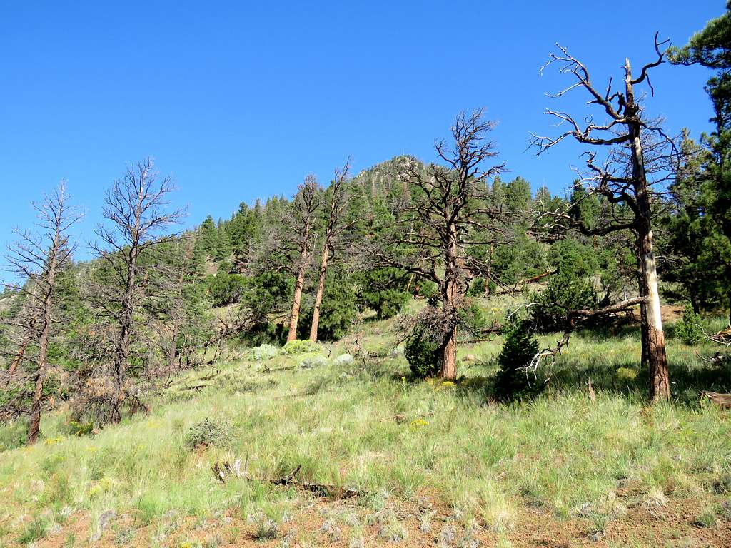
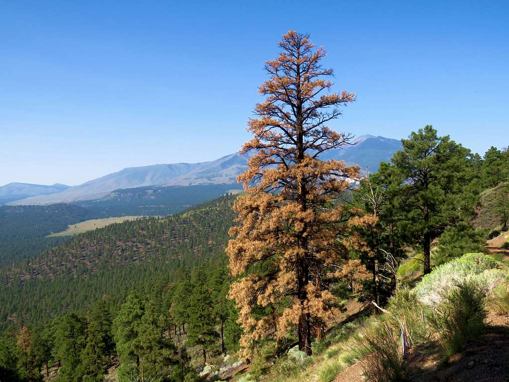
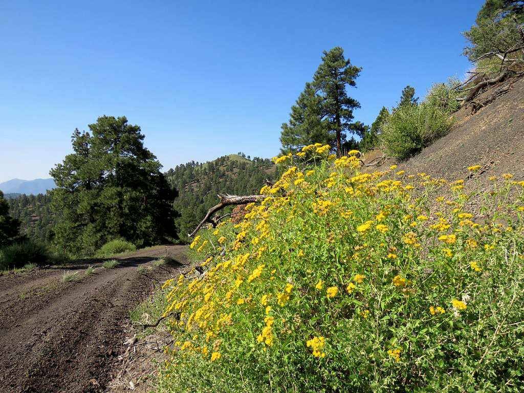
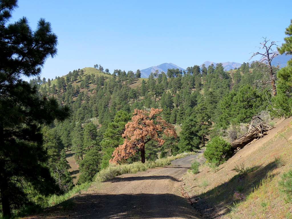
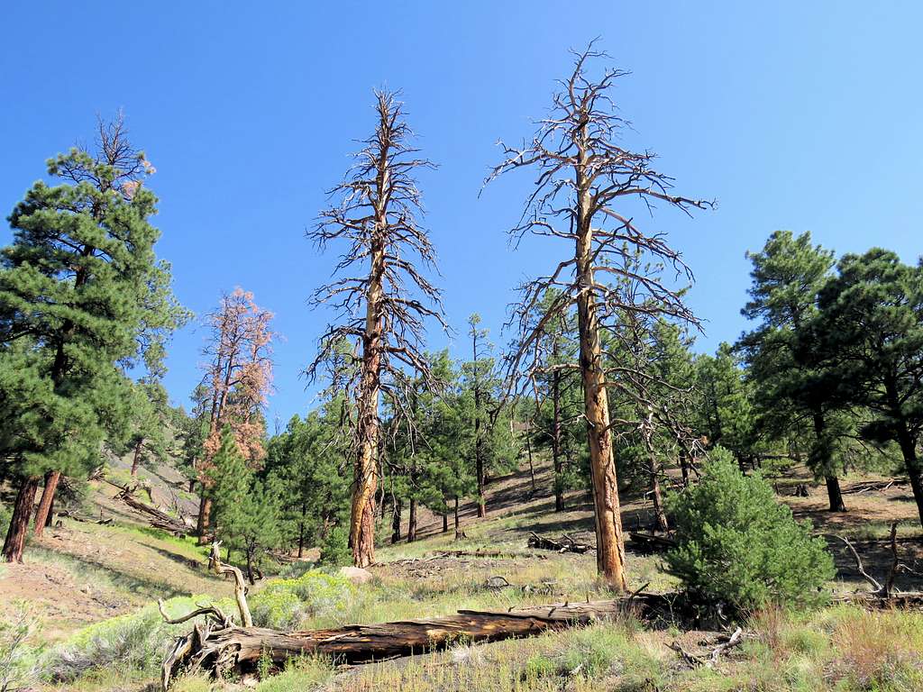
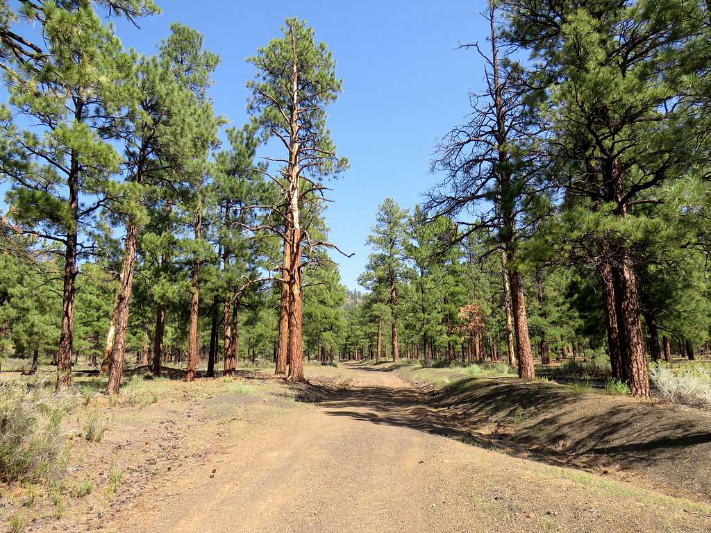
In the last mile or so, we ran into a few people.
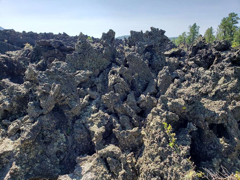
Near the lava field, I left trail in a couple of places and went up the jumble of sharp abrasive rocks to get views.
Reached the car at 10:24 AM.

