
-
 3420 Hits
-
 71.86% Score
-
 2 Votes
|
|
Route |
|---|---|
|
|
46.63000°N / 12.73000°E |
|
|
Hike |
|
|
Half a day |
|
|
Walk-Up |
|
|
Approach
See the main page for the directions to the trailheads. From the north follow the signs to Peralba and Hochweißsteinhaus. From the hut take the trail No 03 (Karnischer Höhenweg) towards Öfner Joch Pass.From the South take trail no 132 to Rifugio Calvi. From there take trail No 140, which leads to the east side of Öfner Joch Pass. As the trail meets trail No 03 head westpard to the pass.
Route Description
- Start altitude: 2011m (Hochalpl Pass)
- Summit altitude: 2384m
- Prevailing exposition: E
- Type: 30min along trails, 1h along steep unmarked slopes
- Protection: mostly unmarked, no protection
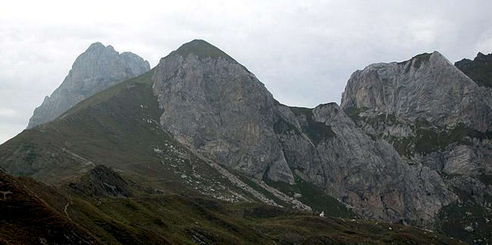
The easiest ascent to Hochalpl is a 50m stroll from Hochalpl Pass. Since it doesn't make sense to include it here I decided on the scramble along the Italian - Austrian border, which can be done from Öfner Joch Pass to the north-east of Hochalpl. The ascent is quite steep and it is unmarked but for the milestones which you find every 500m. Also the slopes of Hochalpl are crisscrossed by WW I trenches and positions so that exploring them you'll need more time than would be usual for a 300m ascent.
From Öfner Joch Pass head south-westward along the border between Austria and Italy. The unmarked path heads up a grassy hill wher you encounter your first WW I position. It must have been an artillery position since it is located at the centre of a web of trenches. The path descends a little into Bladner Joch Pass (2127m), still located on the border.
From the little pass the path heads southward, leaving the border. The border runs straight "through" the Hochalpl east face and to prevent you from climbing you'll have to go the long way around the face. The path starts to climb steeply along the meadows to the south of Hochalpl's east face and here - at the top of the scramble - you'll find some moderate exposure. The path flattens and the remainder of the ascent is smooth walking to the side of WW I trenches to the top of the mountain.