-
 15516 Hits
-
 75.81% Score
-
 6 Votes
|
|
Route |
|---|---|
|
|
48.71043°N / 113.68934°W |
|
|
Mountaineering |
|
|
Summer, Fall |
|
|
Most of a day |
|
|
Piegan Mountain via Piegan Pass Route
Walking through a sea of peaks and incredible views around every corner make this approach to Piegan and Pollock a definite route to consider.
Overview
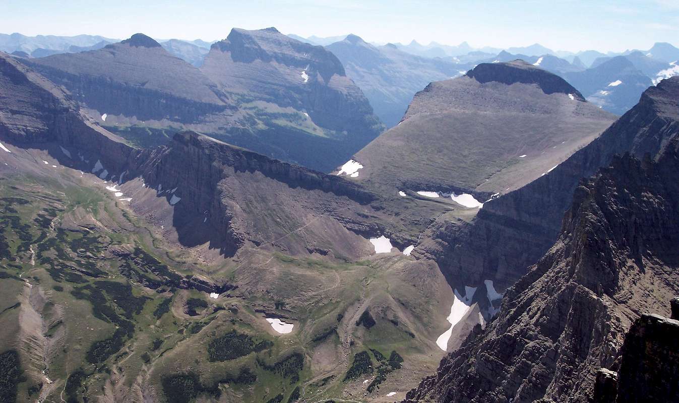
Although this route is longer in total mileage it is worthy of consideration due to a reduced elevation gain per mile (560 feet per mile versus 1,400 feet per mile), literally NO scrambling or route finding to the Piegan-Pollock Saddle and rewarding views of Going-to-the-Sun, Matahpi, Siyeh, Gould and the Many Glacier Valley as well as Jackson Glacier, Blackfoot Glacier and beyond!
An up-to-date guidebook for this route can be found in Climb Glacier National Park, Routes for Beginning and Intermediate Climbers; Volume 1: Logan Pass, The Garden Wall, and Siyeh Bend. Purchase it when you arrive in northwestern Montana or purchase it on-line at Climb Glacier National Park.
The total elevation gained from Siyeh Bend through Piegan Pass to the summit is 3,370 feet and the total mileage is approximately 6 miles one way.
The Lunch Creek route is about 2 miles in length and has an elevation gain of 2,800 feet.
The Views
Getting There
In his Guidebook, A CLIMBER'S GUIDE TO GLACIER NATIONAL PARK, J. Gordon Edwards suggests this route for descent from Piegan Mountain on pages 296-297.
Consider this route for ascent as well.
The Siyeh Bend trailhead is located on the east side of Logan Pass. Park at the Siyeh Bend trailhead and begin the 4.5 mile hike to Piegan Pass.
For other information on Red Tape, Links, Glacier's Shuttle System and an Overview of Piegan Mountain please see the Piegan main page.
Route Description
Trail Directions: Total Elevation This Leg: 1,520 feet
Walk along Siyeh Creek then uphill to the first trial junction. At this junction turn left and walk through Preston Park below Going-to-the-Sun Mountain and Mataphi on the right and Piegan Mountain and Piegan Glacier on the left. The Piegan Pass sign is 2.8 miles from Siyeh Bend. At this junction take another left. The right fork leads to Siyeh Pass and the route for Siyeh Mountain. In 1.8 more miles Piegan Pass will be reached.
Off Trail Directions: Total Elevation This Leg: 1,060 feet
At Piegan Pass look to the south at the northeast corner of Piegan Mountain. Aim for this point as the off-trail route begins. In just a couple hundred feet cairns begin to mark a marvelous game trail that can be followed to the saddle between Piegan and Pollock.
Final Approach: Total Elevation This Leg: 590 feet
The remaining 590 feet is a climbers trail for the first 200 feet or so then a scramble through scree and cliffs as well as some sweet scrambling if desired.
Essential Gear
Make sure to carry bear spray, hiking poles, water, and a camera.Sturdy hiking boots are needed as well.


