|
|
Mountain/Rock |
|---|---|
|
|
43.93064°N / 113.9546°W |
|
|
Custer |
|
|
Hiking |
|
|
10012 ft / 3052 m |
|
|
Overview
Porphyry Peak, (pronounced pôr'fa-rē) is located in the White Knob Mountains of central Idaho.
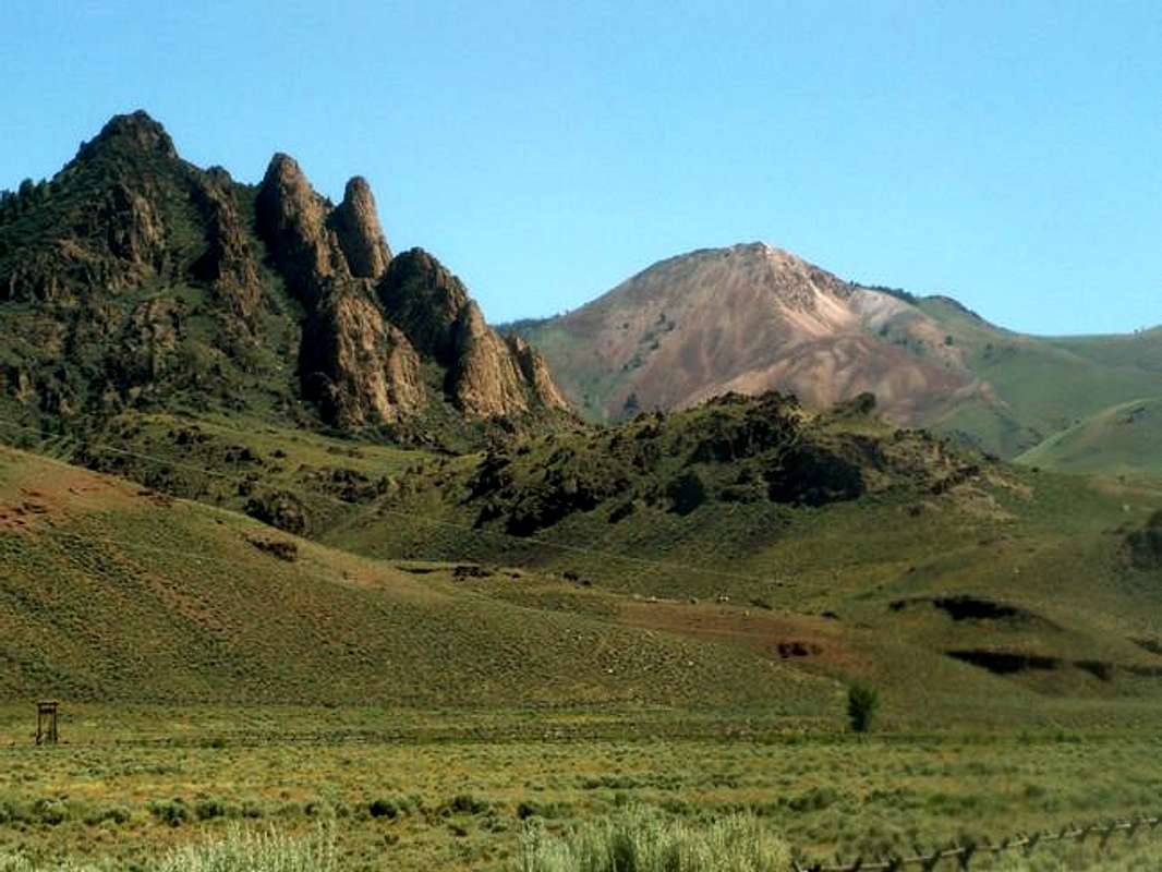
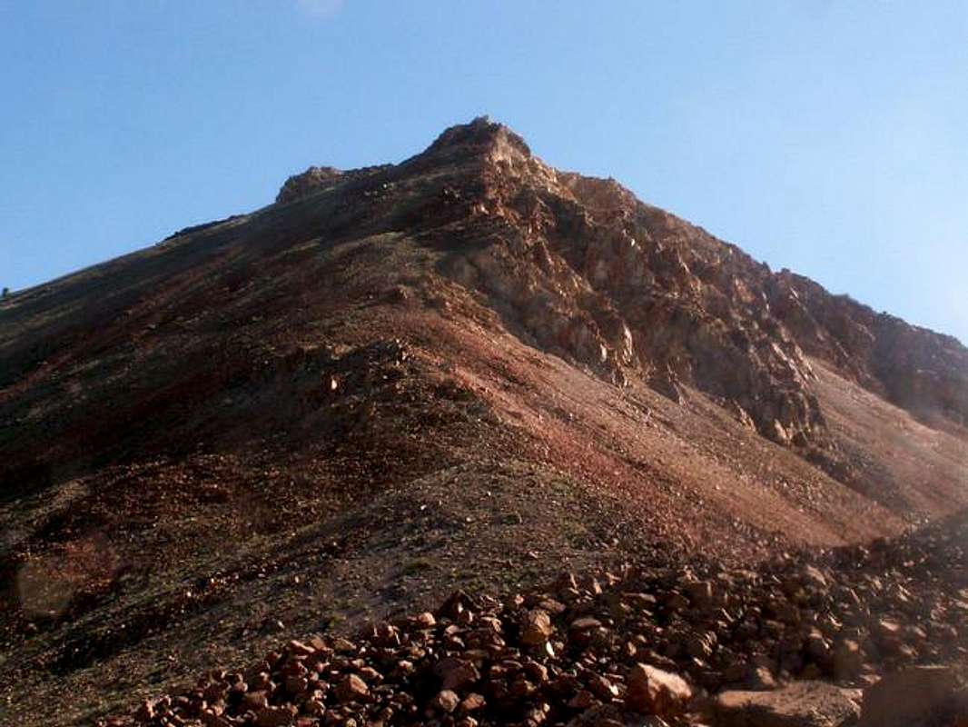
 Porphyry Peak is a beautiful mound of multi-colored rocks and would be a geologist's dream to study. It sits by itself at the western end of the White Knob Range many miles from any other peak of significance.
Its northern slopes are gentle are rolling, but its southern and western faces are made up of a variety of volcanic rock including, andesite lava flows, ash flows, intrusions of dacite, and limestone that become painted in summer with numerous wildflowers creating a spectacular setting.
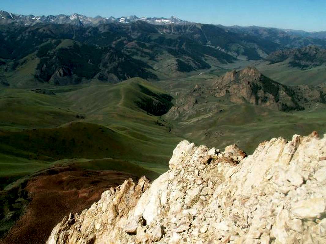
Climbing this peak is a great introduction to this seldom visited area. Summiting Porphyry includes unbeatable views of the Lost River Range, Copper Basin, and The Smiley Lobe in the Pioneers. Porphyry Peak was first climbed by T.M. Bannon in 1901.
Although a small number of hikers do set out to bag this peak each year, it is rarely ever visited. A treacherous river crossing that creates only a small time frame for which Porphyry may be climbed, turns many hopeful climbers away in disapointment.
A climb up Porphyry includes hiking up the fanstastic Castle Creek Canyon. This unique canyon snakes past the base of the imposing Castle Rock and up through terrain reminiscent of southern Utah, rather then central Idaho. One class 2, and one easy class three lead up the face of Porphyry Peak.
Getting There
To access Porphyry Peak from Ketchum and Sun Valley Idaho, drive northeast on Trail Creek Road for 22 miles up and over Trail Creek Summit to Copper Basin Road.
 Turn right and follow this improved dirt road for about 7-7.5 miles to the point where Castle Creek flows into the North Fork Big Lost River. Park here.
South Ridge Route
Requirements For Climbing Porphyry Peak's South Ridge
- Wading Boots
- Good trail finding skills
- Porphyry Peak TOPO Map
From Copper Basin Road, park in a spot where the very thick willows thin enough that you may make your way over to the river.
The North Fork River is fast moving and deep river that is only passable during the months of August and September, which even then is difficult.
Once you have completed the task of crossing the river begin aim toward the mouth of Castle Creek Canyon. Head north upstream on faint trail that follows Castle Creek for its entire length.
![Phi Kappa photo_id=168237 Phi Kappa photo_id=168237]() The trail will come and go as you skirt the base of the impressive Castle Rock. After about 2 miles up the canyon, or around the 7,800' contour line, the trail will lead you into a very narrow canyon surrounded by rock walls. Although it may only be a small portion of the climb, this certainly will grab your interest and leave you thinking about how out-of-place it is.
A little further up the canyon, willows start to sprout up around the stream and becom increasingly thick. At the 8,000' contour line, or right after you walk through a small grove of aspen trees, look for a small clearing in the willows where an old trail use to leave.
Cross Castle Creek and gain the ridge immediaetly above looking for the same trail. If you cannot find the trail, head east up the ridge until coming to Porphyry's south ridge.
From the ridge, turn north through fields of grass and sage. Continue through a small grove of sup-alpine evergreens and begin the easy scramble up class two terrain to the summit.
The trail will come and go as you skirt the base of the impressive Castle Rock. After about 2 miles up the canyon, or around the 7,800' contour line, the trail will lead you into a very narrow canyon surrounded by rock walls. Although it may only be a small portion of the climb, this certainly will grab your interest and leave you thinking about how out-of-place it is.
A little further up the canyon, willows start to sprout up around the stream and becom increasingly thick. At the 8,000' contour line, or right after you walk through a small grove of aspen trees, look for a small clearing in the willows where an old trail use to leave.
Cross Castle Creek and gain the ridge immediaetly above looking for the same trail. If you cannot find the trail, head east up the ridge until coming to Porphyry's south ridge.
From the ridge, turn north through fields of grass and sage. Continue through a small grove of sup-alpine evergreens and begin the easy scramble up class two terrain to the summit.
Southwest Ridge
Requirements For Climbing Porphyry Peak's Southwest Ridge Route - Wading boots
- Good trail finding experience
- Scrambling experience
- Porphyry Peak TOPO map.
The Southwest Ridge Route does not vary all that much than the South Ridge Route, but for those scratchiing for a little more than a walk up, this offers some easy scrambling.
![Phi Kappa photo_id=168281 Phi Kappa photo_id=168281]() From the 8,200' contour line (see above for description for access), gain the ridge to the north east that does a broad arc from pointing north to east. This ridge is gently until about 8,600' where t turns abruptly to steep, loose rock.
Climb about 6-800 more feet on this relatively unstable rock to a small saddle just below the southwest ridge. From here, head directly up the ridge staying as close to the crest as possible for good footing.
Staying near the ridgeline requires a little bit of easy climbing that can be easily avoided if one wishes by contouring around them on terribly loose rock to the west.
Just below the summit, a small gully that requires minimal class three scrambling leads you nearly to the top.
From the gully, it is an easy and short walk to the summit.
From the 8,200' contour line (see above for description for access), gain the ridge to the north east that does a broad arc from pointing north to east. This ridge is gently until about 8,600' where t turns abruptly to steep, loose rock.
Climb about 6-800 more feet on this relatively unstable rock to a small saddle just below the southwest ridge. From here, head directly up the ridge staying as close to the crest as possible for good footing.
Staying near the ridgeline requires a little bit of easy climbing that can be easily avoided if one wishes by contouring around them on terribly loose rock to the west.
Just below the summit, a small gully that requires minimal class three scrambling leads you nearly to the top.
From the gully, it is an easy and short walk to the summit.
Red Tape
Nore permits or red tape required for this remote part of the state.When To Climb
Although Porphyry Peak may be snow-free for many months of the year, the crossing of the East Fork Big Lost River is only possible during early-August through mid-October. There are no recorded ascents of Porphyry in winter, however, because of the open nature on the east and north sides, it certainly is possible.Camping
Camping in Castle Creek Canyon is possible but because it is narrow in spots, would be difficult. Many CGs are in the area, including Wildhorse and Star Mine.Mountain Conditions
.


