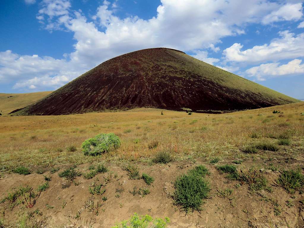
The 7021 ft S P Crater is a cinder cone that sits 16 miles to the north of Arizona’s Humphreys Peak in San Francisco Volcanic Field north of Flagstaff, Arizona. The cone has an approximate diameter of 0.75 miles and rises 800 feet above the surrounding plain. The summit of the cone houses a crater that is roughly 300 ft deep. No official trail goes to the top of S P Cone but a beaten path on its west side makes the hike up the steep gravel slopes easier than it would otherwise be.
Black lava from the crater has poured out of the north side of the crater onto the brown desert plain in an area more than 4 miles long. This makes the cone look like a pot that has leaked its contents. The story goes that the person who first saw the cone thought of it as a S**t Pot having leaked all over the desert floor hence the name S P Crater.
Trip Report
Hike Length: 4.65 miles
Total Ascent: 1120 ft
Minimum Elevation: 6040 ft
Maximum Elevation: 7021 ft
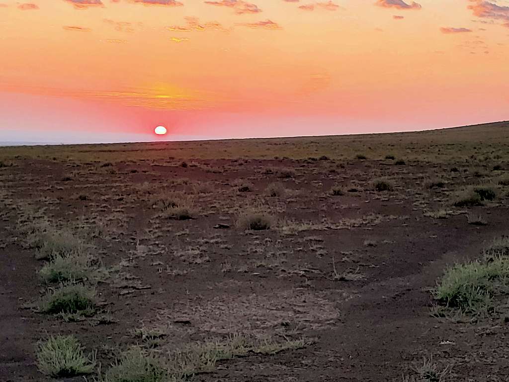
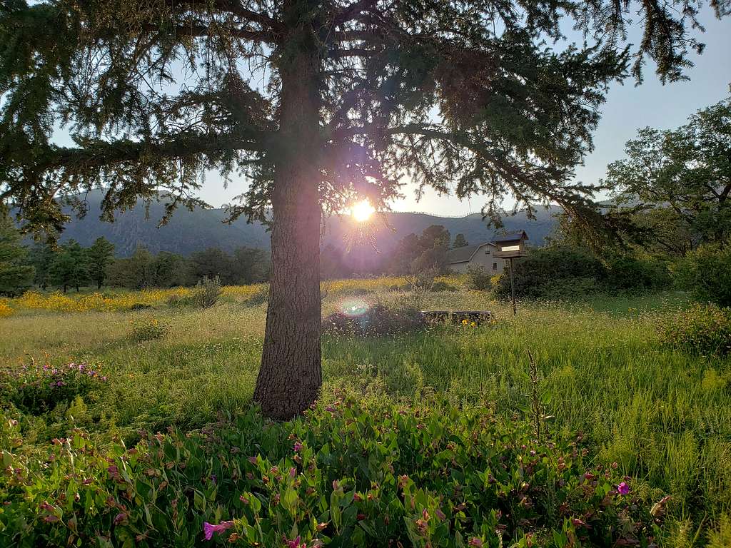
Kris and I left the vacation rental house near Flagstaff, Arizona at 5:30 AM and got on Route 89 north. As elevation decreased, tall pine tree forests turned into bushes and ultimately brown desert plains. Near mile marker 446, just south of Hanks Trading Post, turned west onto an unmarked dirt road and went 5.5 miles. The road seemed to be passable by any car. In my rearview mirror, I saw the sun rising and stopped to take a picture.
Sunrise, on the road to SP Crater
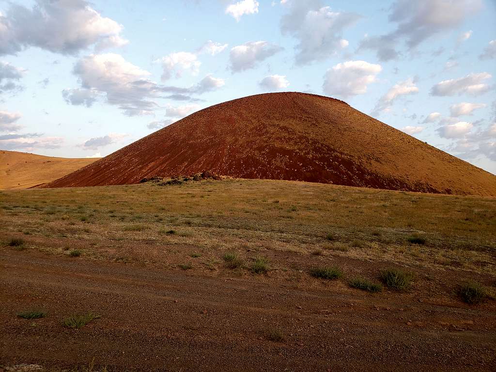
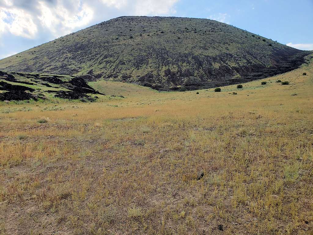
Parked in an area to the southeast of the cone of S P Crater.
Southeast face of SP Cone
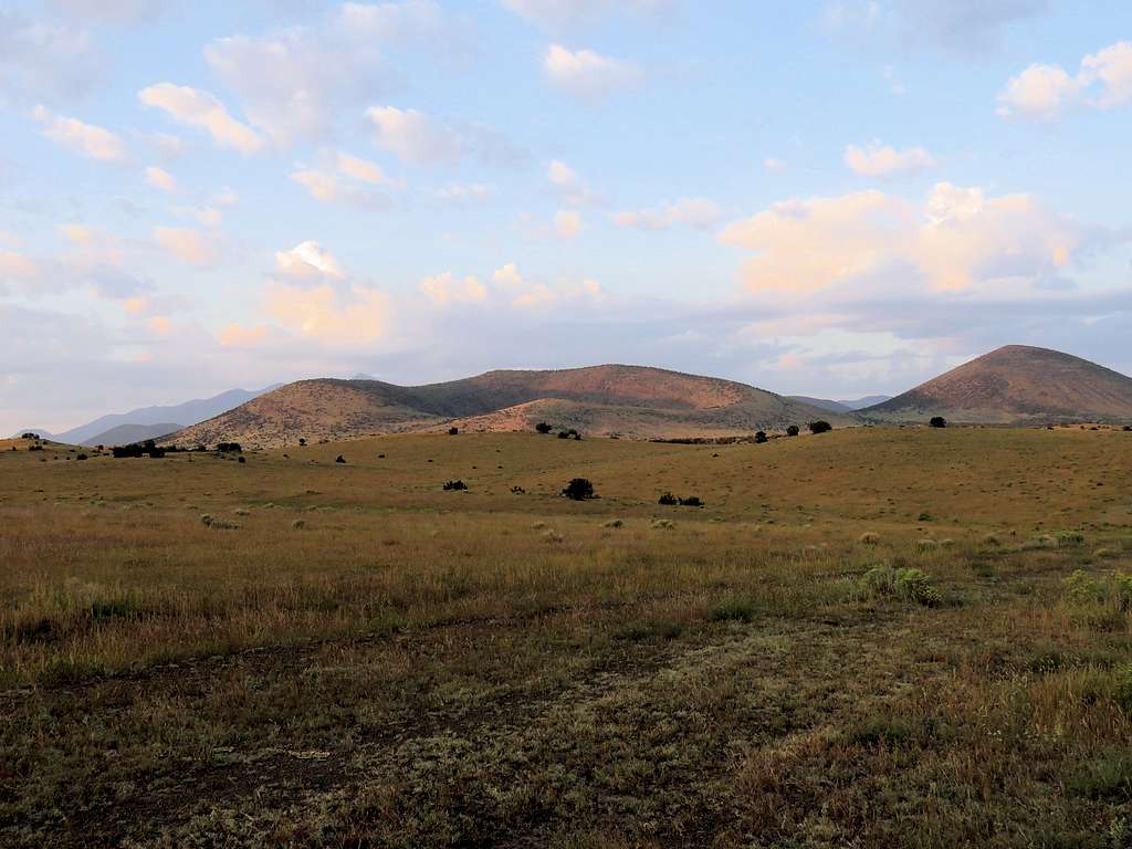
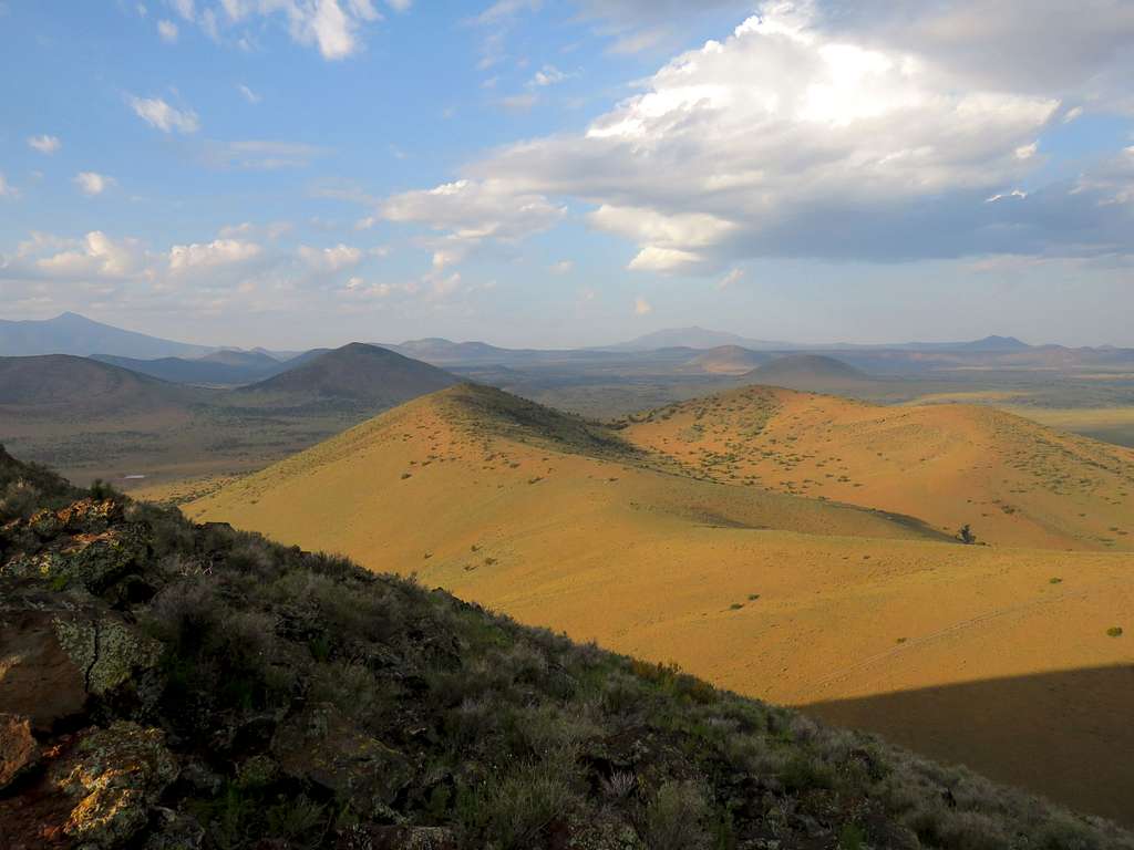
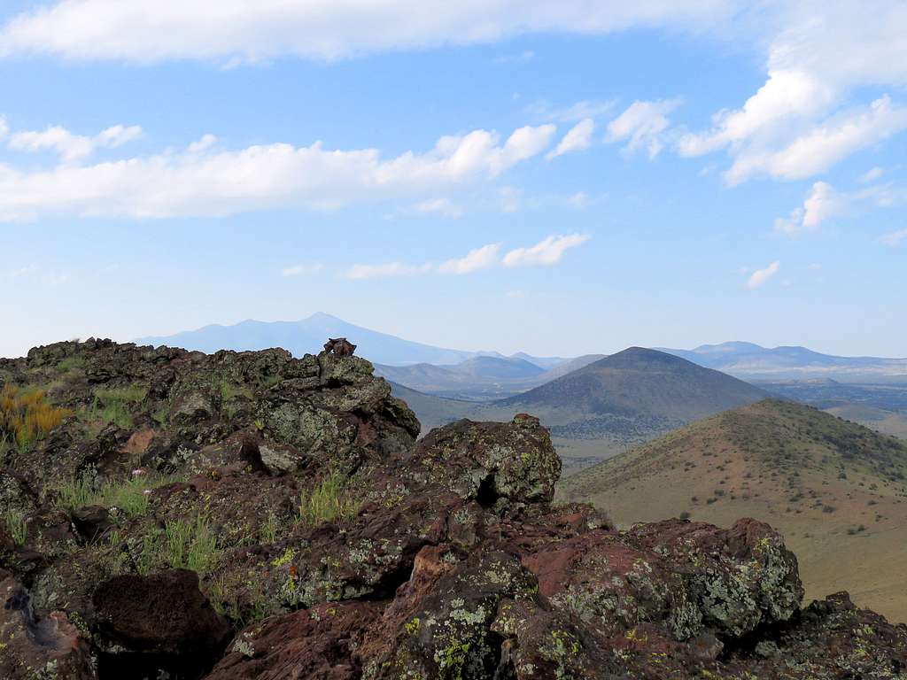
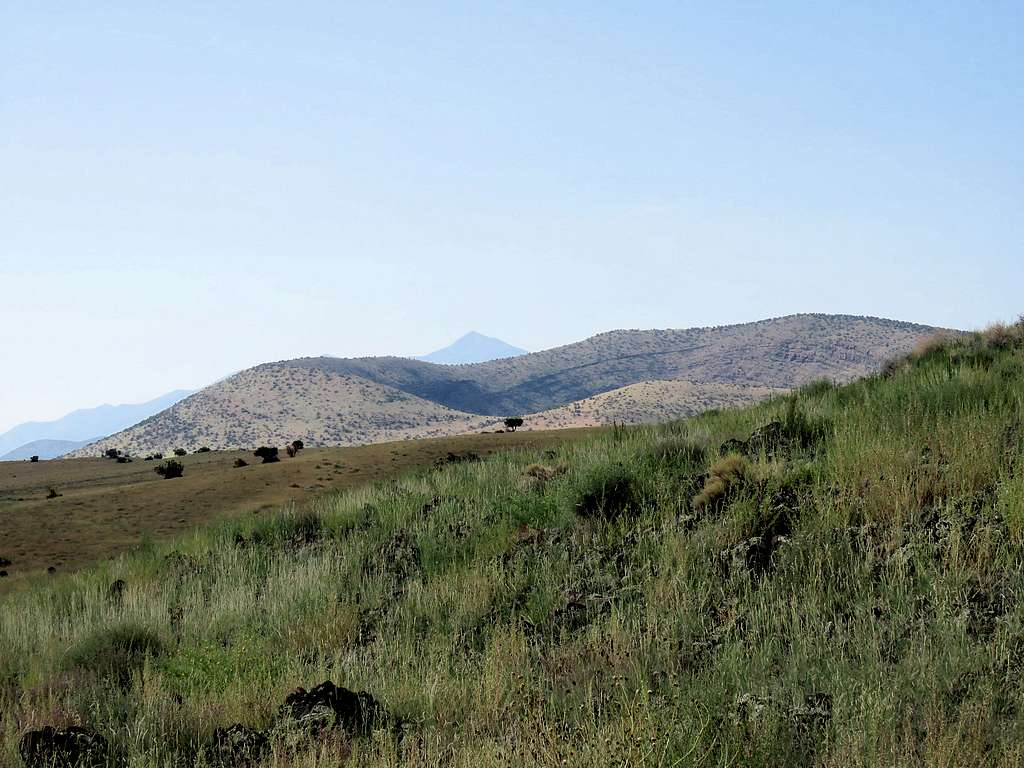
To the west, the nearby Peak 7413 ft and the distant 10418 ft Kendrick Peak were in view.
The distant Kendrick Peak
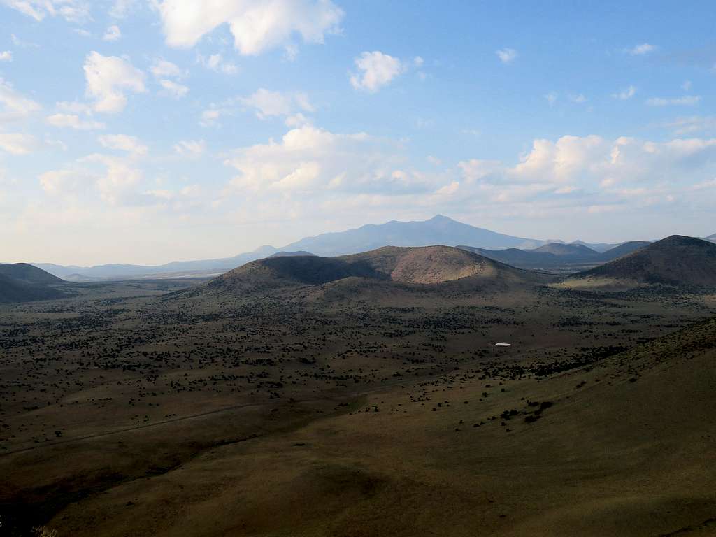
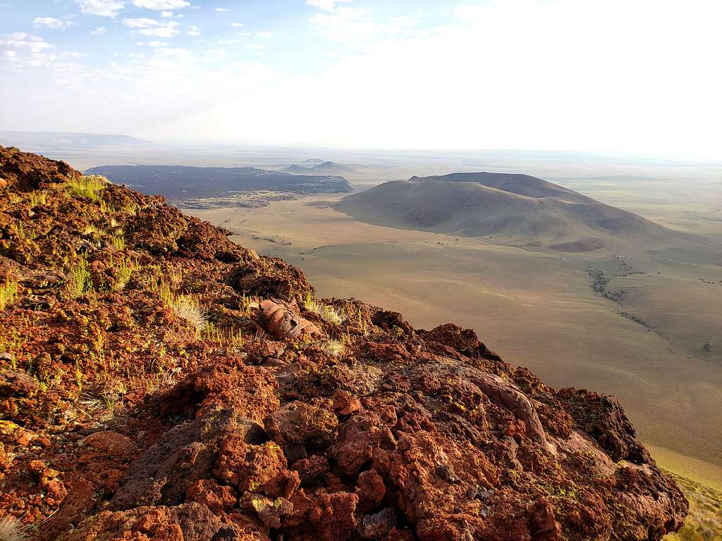
The tip of Humphreys Peak rose above Colton Crater to the south.
Humphreys Peak & Colton Crater
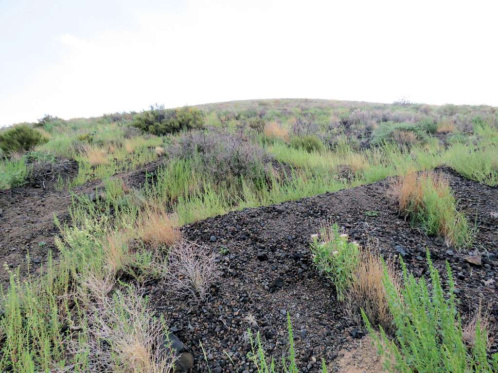
Started the hike at 6:28 AM. Elevation was 6230 ft. Got on a two-track that went northwest to a 6590 ft saddle to the west of the cone of S P Crater where we reached after 1.1 miles of hiking. As I had seen on satellite photos, a beaten path went up the steep black gravel slope that had a growth of short grasses over it.
Slopes of SP Cone
Kris said that he was not going to bother with the nasty slope so I went alone. After only 0.2 miles, I reached the western rim of the top crater at an elevation of 6970 ft. The distant Humphreys and Kendrick Peaks plus the nearby Peak 7413 ft.
Humphreys Peak from the rim of the crater
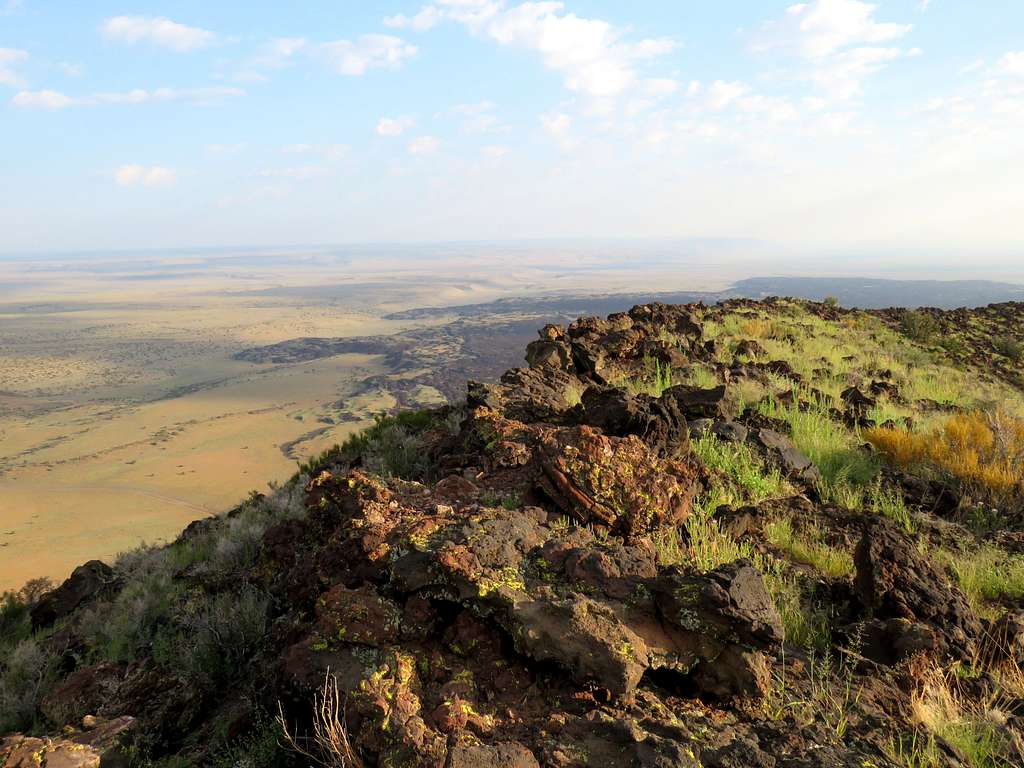
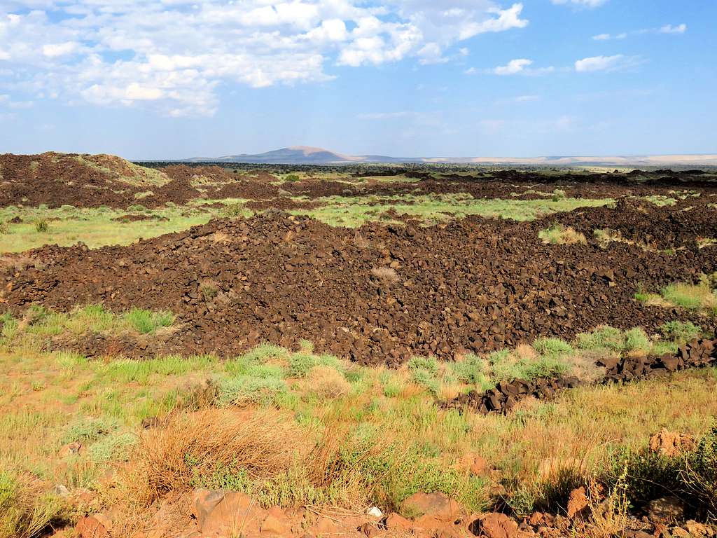
Looking north at black lava over the desert floor.
Black Lava from rim of the crater
Wanted to go around the top crater so headed south and then east on the rim. Boulders and rocks made the going rather slow. Humphrey Peak & Colton Crater.
Humphreys Peak & Colton Crater
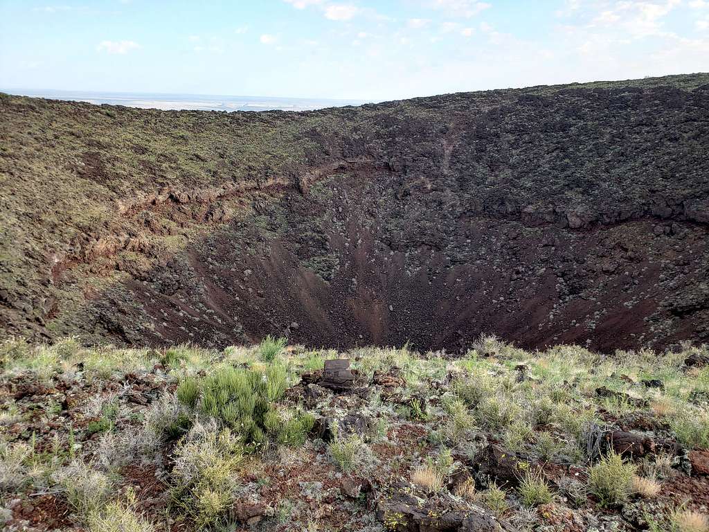
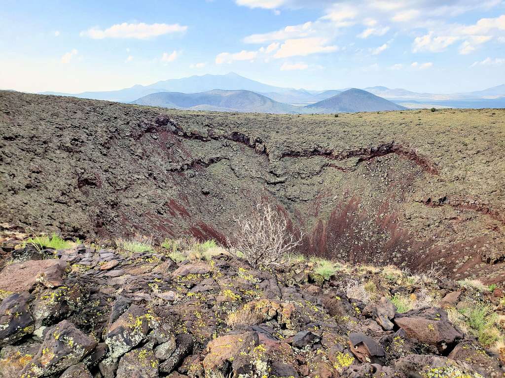
Crater from its south rim.
SP Crater
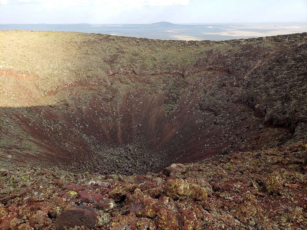
Was then on the 7021 ft summit on the east rim of the crater. Looking into the crater.
SP Crater
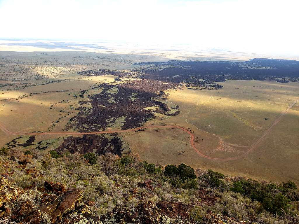
Looking at Point 6495 ft and the black lava flow.
From the summit of SP Crater cone, Point 6495 ft seen
Continued north and then west along the rim.
Lava flow to the north.
Black lava, looking north
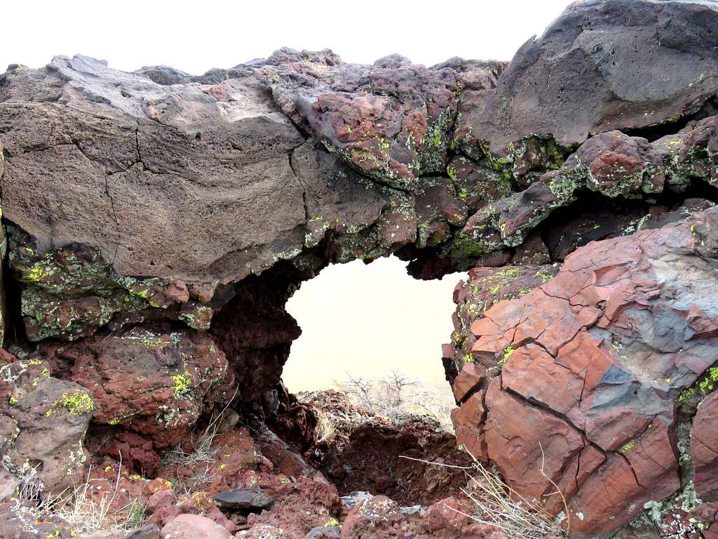
An interesting arch with an estimated diameter of 2 feet.
Arch on the rim
Humphreys Peak and top crater.
SP Crater & Humphreys Peak
Having gone all around the crater, which I measured to have had a circumference of 0.8 miles, I was back on the western rim where I had come up from. Another view of Humphrey Peak.
Humphreys Peak from the rim
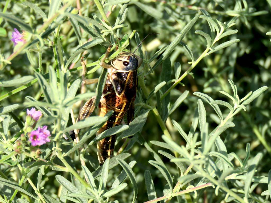
Quickly went down the gravel slope to reach Kris at the 6590 ft saddle at 8:18 AM and 2.4 miles. Sat there to eat. Saw a big grasshopper crawling on the ground and then up the stem of a grass.
Grasshopper
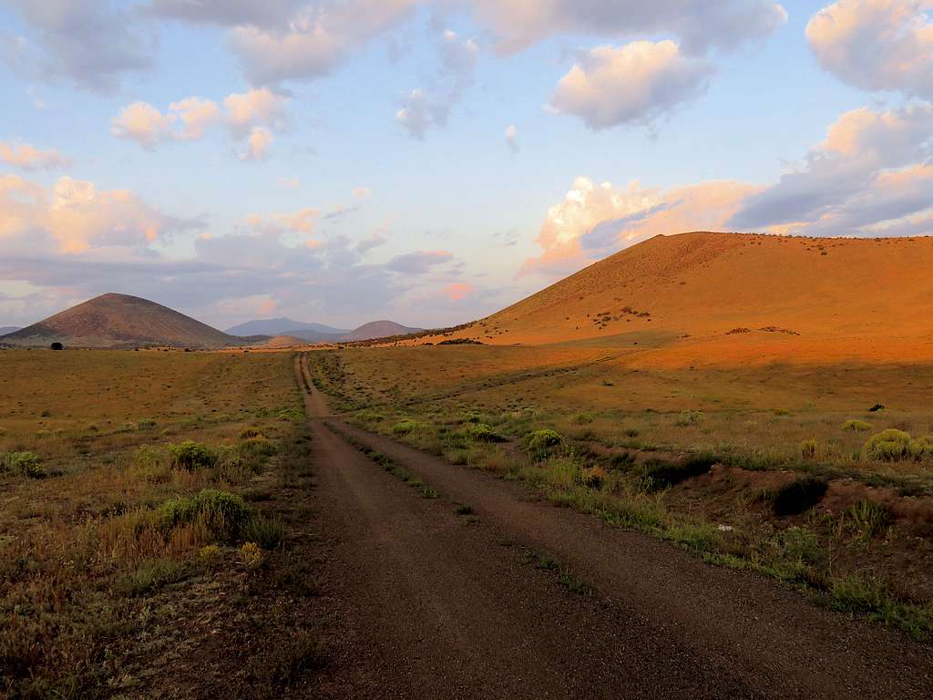
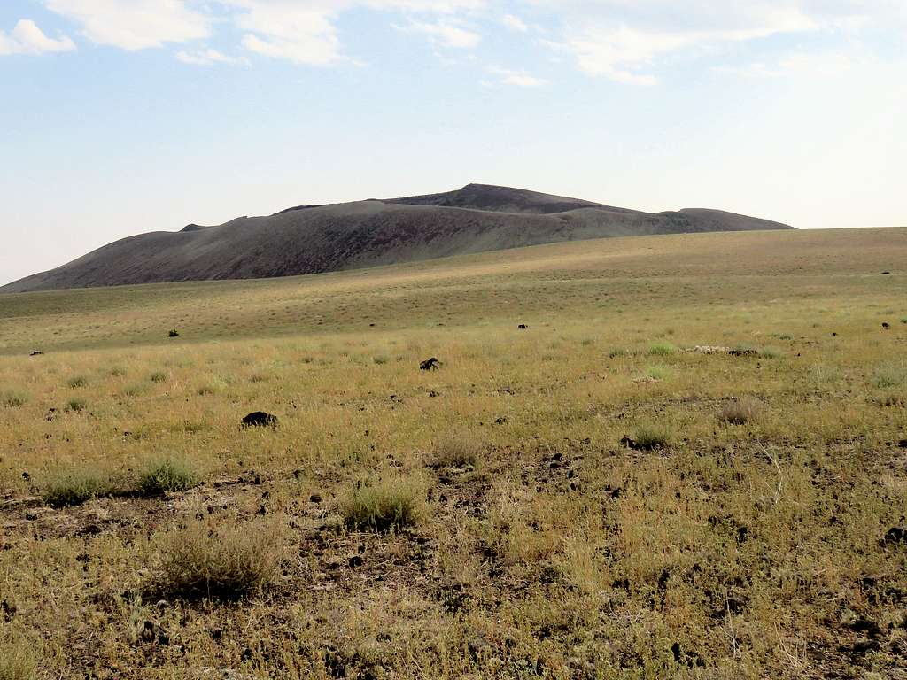
The plan was to go all around the cone of S P Crater so we followed the two-track north going down to the desert floor at an elevation of 6060 ft where we reached a dirt road to the northwest of the cone.
SP Cone from the northwest
Headed east on the road crossing the black lava flow which to me, turned out to be a pile of ordinary looking rocks and nothing like other lava flows I had seen before.
Black lava
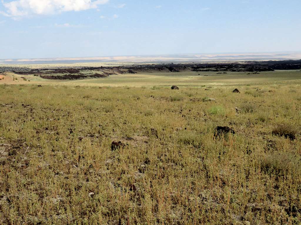
Once on the northeastern side of the cone, left road and began walking up the gently sloped plain toward where we had parked.
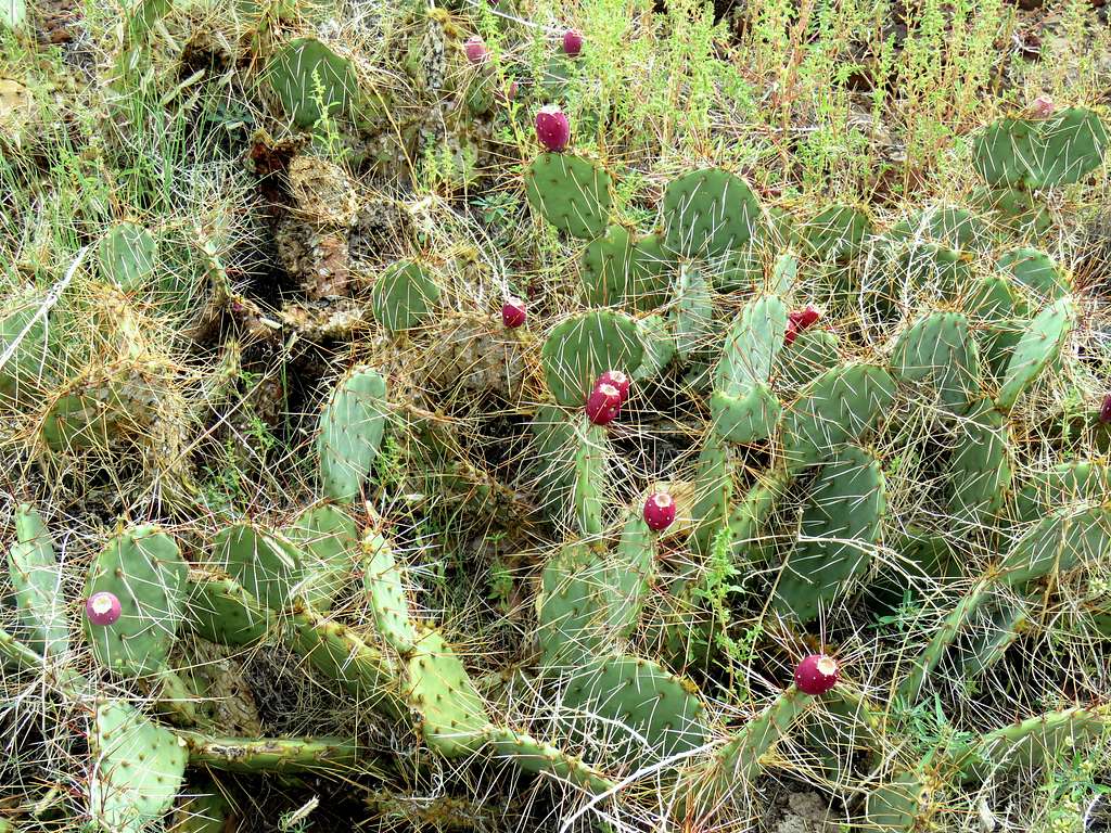
Point 6495Gently sloped plainCactusTip of Humphreys Peak & Colton Crater
Were back to the car at 9:40 AM and 4.64 miles of hiking.
SP Cone from the southeast
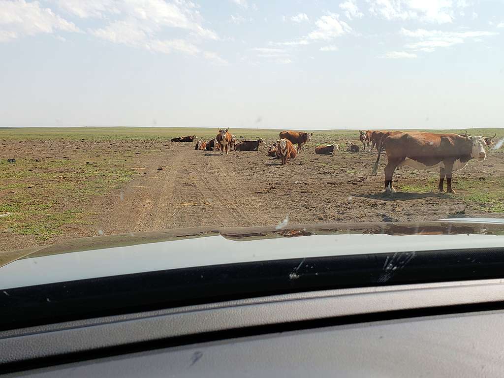
Cattle on the road.
Cattle on the road
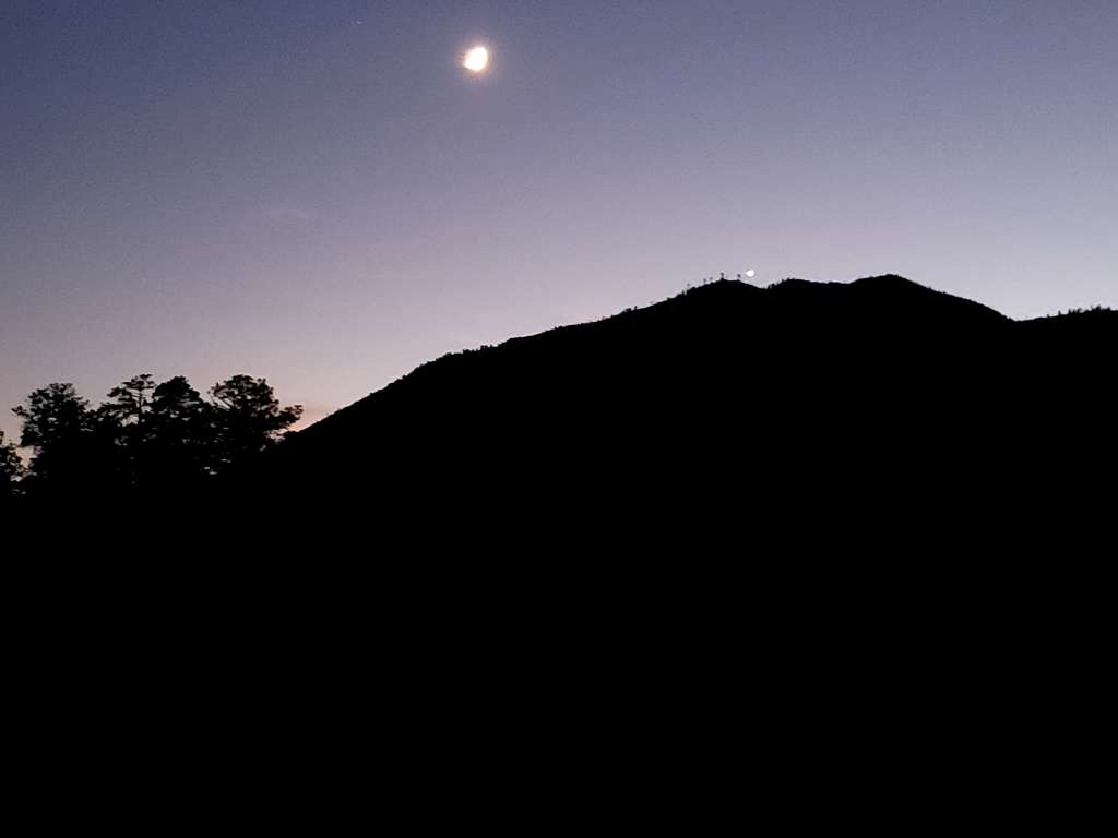
Were soon back home. After showering and doing office work, spent the rest of the afternoon on the porch watching Elden Mountain until the sun set behind its northern ridgeline.
Sunset behind Elden Mountain's north ridge from the house
And then the moon and Venus.
Elden Mountain plus the moon and Venus from the house
Parents refers to a larger category under which an object falls. For example, theAconcagua mountain page has the 'Aconcagua Group' and the 'Seven Summits' asparents and is a parent itself to many routes, photos, and Trip Reports.


Comments
Post a Comment