Our Approach
So Argonaut Peak has been on my short list since November 2012 when I attempted it in a snowstorm via the terrible south route. After that trip where nothing was accomplished other than a gear soaking and 25 dollars in wasted gas, I told myself I was going to climb Argonaut from a north side route. Now, five months later in the end of May I had my chance to get revenge on this peak. I spoke with Danial on CascadeClimbers and we were set on the idea of climbing the NW arete which from what we heard is a slightly sandbagged 5.6 climb of 5 pitches. Even so, we were both up for the challenge and agreed to go light and take just two 30 meter alpine ropes and make a day trip out of it. As you will see below, this didn't exactly happen and we had to change our plans accordingly.
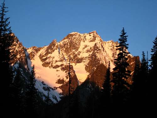
![Stuart Sunrise from the trail]() Sunrise on Mount Stuart from the trail
Sunrise on Mount Stuart from the trail
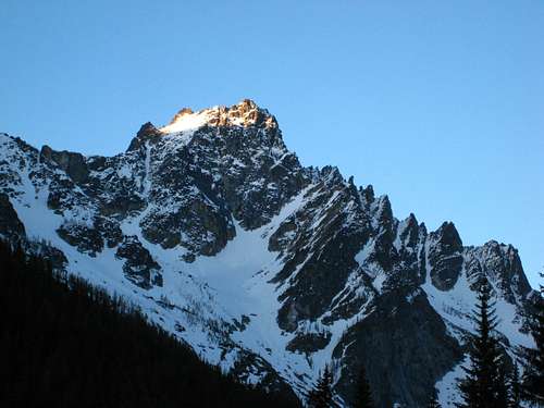
| ![Argonaut with NE couloir on left]() Sunrise on Argonaut with the NW arete at right skyline and NE Couloir on left
Sunrise on Argonaut with the NW arete at right skyline and NE Couloir on left |
So at 2:15 am we met in Monroe and like always I didn't bother going to sleep that night. I got off work at 9pm, had some dinner and drove up to Josh's house to borrow his 30 meter rope so we could have two to use as half ropes and in case of a longer rappel. Daniel drove from Monroe and at 4:30am we arrived at the Mountaineers Creek trailhead and started up the trail just as there was enough light to avoid using headlamps. We made quick work of the trail to the junction with the Colchuck Lake trail and we continued straight and arrived at the famous clearing where the first views of Argonaut and Sherpa are seen. Just as I got a first glimpse of Argonaut I was bummed at how much fresh snow was on the NW arete. Danial and I both became concerned and we talked briefly about what we might do. Luckily I had read the route description for the NE couloir many times and said if the arete is going to just be soaked we could do the couloir. We continued and slightly past the opening, we left the trail right as it made a sharp right turn and bushwhacked over lots of deadfall until we reached the creek draining out from Stuart Lake. We searched for awhile to find a log to cross on and ended up ascending 50 feet or so along the creek before locating a somewhat sketchy narrow and wet log to flail across on. Once across we veered left back towards Mountaineer Creek and since Danial had made this approach before he knew we needed to aim for the talus a couple hundred feet above the creek to its west which avoids most of the terrible bushwhacking along the valley floor. Once again one of my personal commandments of mountaineering working perfectly....Commandment number 3/10, NEVER get suckered into following along a creek below treeline!
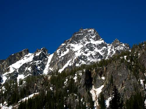
![Sherpa Peak]() Sherpa Peak to the west
Sherpa Peak to the west |
Once we ran out of talus and the small cliffs below us were gone we descended slightly to the spot where Mountaineers Creek diverges. One creek comes off the north side of Sherpa while the other comes down from the right off the north side of Stuart. We crossed both and continued south through easier forest until we broke out of the trees and arrived at the base of the infamous slide alder slope from hell. Luckily there is a way around it all by cutting to the right and ascending up good talus to the west of the swath of slide alder. This is exactly what we did and only once did we even touch a piece of slide alder! I was feeling great and we made great time ascending from 4,800 feet at the base of the slope to 6,500 feet in a small bowl just below the north face of Argonaut. We put our crampons on around 5,500 feet when the talus became mostly snow covered and the hard snow was perfect for booting up. We finally reached sunshine once we got to the tiny bowl where we had a nice rest.
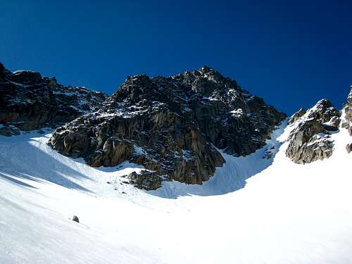
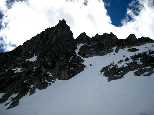
![At the base of Argonaut N face]() Base of the north face with the NE couloir heading up the left side
Base of the north face with the NE couloir heading up the left side
| ![Looking up the NE couloir]() Looking up the NE couloir from the bottom
Looking up the NE couloir from the bottom |
NE Couloir climb
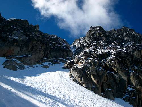
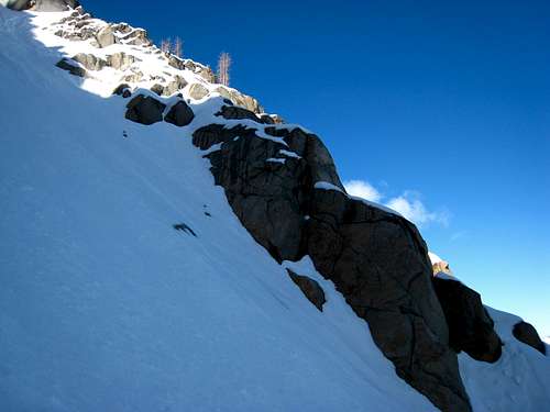
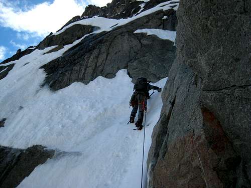
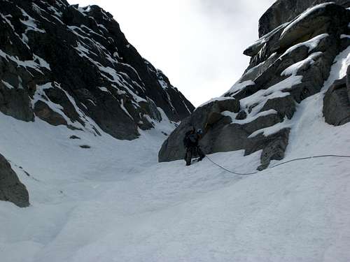
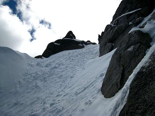
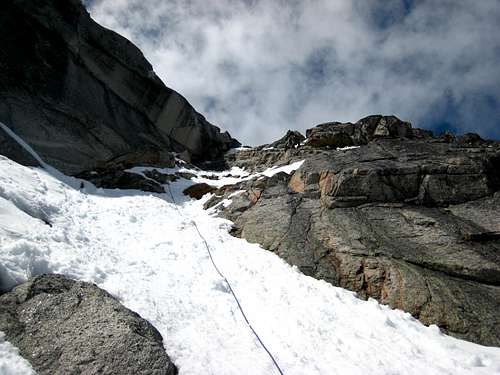
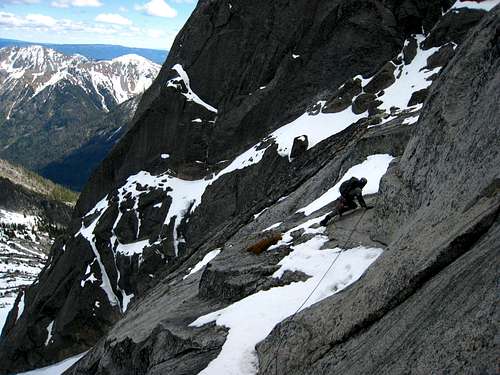
Almost instinctively without either one of us saying much we decided it would be better to do the NE couloir since it would be in much better condition and more enjoyable given the current conditions. So we started up which was first mellow for a ways but we ran into some ice sections right before the couloir gets narrow. We both had crampoons but I was wearing my flexible snow boots instead of mountaineering boots...I remember telling myself, "well this will be interesting!" I crossed over the center of the couloir where the ice was hardest and got to a nice moat to stand on where I set up an anchor and we prepared to simul-climb the couloir. We each just had one regular axe as well so climbing up the ice in the center of the couloir was harder. The couloir from the first narrow constriction all the way to its top was a load of fun and we were able to find some softer snow away from the middle and we were easily able to occasionally place a piece of rock pro in the rock walls along the sides. We arrived at the top of the couloir and cut right up a chimney which was very low angle and covered in fresh snow that had been in the sun longer. Climbing this was interesting for sure as there were some low 5th class rock slabs and other dirty stuff that was dripping the whole time but we continued up simul-climbing until we reached the upper snowfield.
![Heading up the 35-40 degree beginning]() Starting up some 35 degree snow
Starting up some 35 degree snow
| ![First constriction in the couloir]() Starting up the first narrow constriction
Starting up the first narrow constriction
| ![NE Couloir]() Simul-Climbing the couloir
Simul-Climbing the couloir
|
![Near the top of the couloir]() Near the end of the couloir
Near the end of the couloir
| ![Climbing up the final chimney]() Climbing up a dirty wet chimney above the couloir
Climbing up a dirty wet chimney above the couloir |
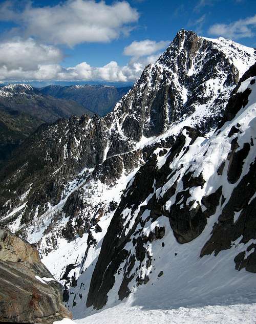
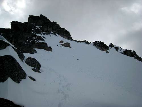
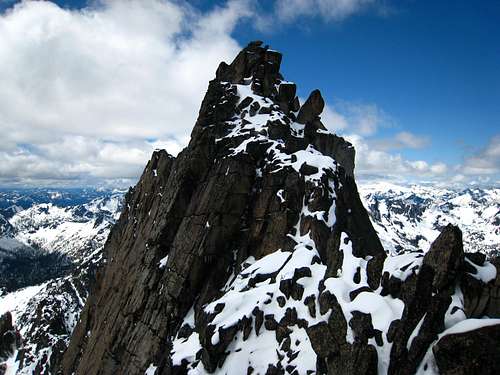
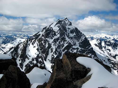
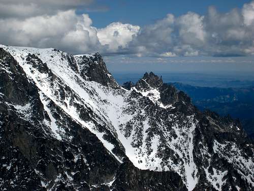
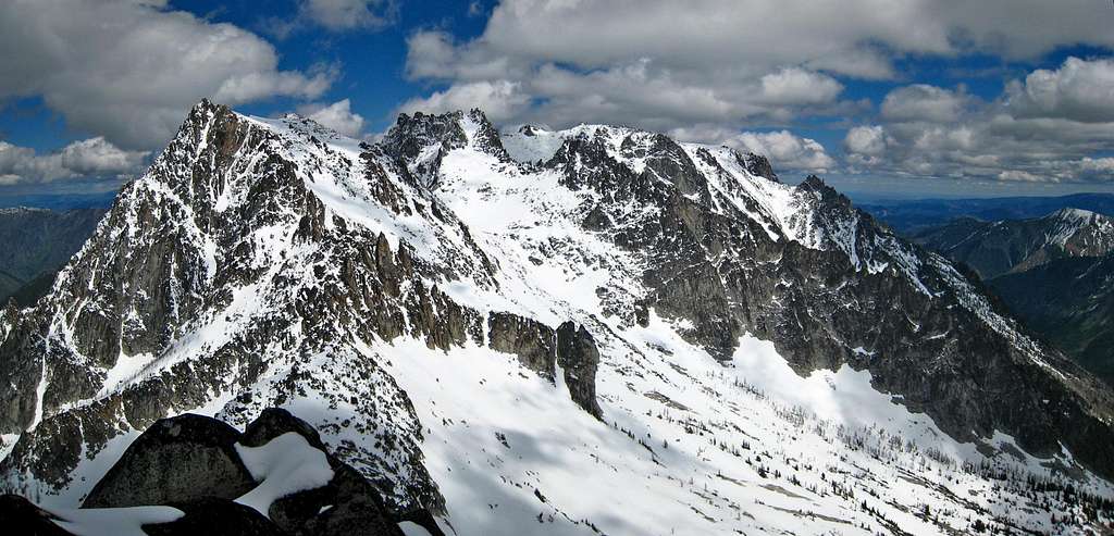
After a much needed snack we booted up the final couple hundred feet to the ridge and scrambled some snow covered class 3 to the summit block. This has to be one of the most unique summit blocks around! We crossed under toe huge leading boulder and made a short 10 foot Class 4 climb to the summit. According the the register we are the first to climb Argonaut in 2013 but there is no way that can be true. We spent a half hour soaking in the great views of Stuart, Colchuck and Cashmere. In the distance, Rainier was visible poking through some of the clouds but most of the North Cascades weren't really visible. Mount Daniel was decked in snow!
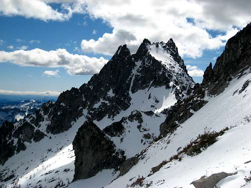
![Colchuck Peak and the NE Couloir]() Looking across to Colchuck Peak from the top of the NE Couloir
Looking across to Colchuck Peak from the top of the NE Couloir
| ![Descending the upper snowfield]() Arriving at the upper snowfield
Arriving at the upper snowfield
|
![Colchuck and Dragontail]() Colchuck and Dragontail from the summit
Colchuck and Dragontail from the summitOur Descent
After our fill of views, right as the breeze picked up we started down and scrambled the ridge back and plunged down the soft snow towards the top of the east face. We both agreed we did not want to go down the way we came up and the 2000+ foot glissade down the Colchuck Glacier was highly influencing our decision to descend the east gully and traverse to Colchuck Col. We searched for a place to begin rappelling down the slabs just north of the east gully and located a yellow sling around a block. So off we went with our ropes tied together. They were just long enough to reach a small tree with another sling around it but this second rappel looked committing and we didn't know if we could reach the east gully from where we predicted the rope would run out. I decided to head down first with prussiks to see if we could either make another anchor or find a way to traverse right at the bottom of the rappel. When I got to the bottom of the rope I noticed a nice ledge that looked like it would go right to the gully but since it was wet and snow covered with big cliffs below I didn't want to just run across unroped especially with flexible boots on. I hollored for Danial to come down while I set up an anchor with a couple cams and we pulled the rope (relieved it didn't get stuck) and he led off across the ledge while I belayed. He went across 30 meters and got a nice spot to belay me across and I'll have to say I am glad I didn't try it unroped because it was a bit scary. Once I got across we were able to jump into the east gully and fire our way down the rest of the way.
Once out of the gully we began slogging through soft snow in the hot sun all the way to Colchuck Col where we had to lose 400 feet more of elevation to go around a rock rib then re-gain it to reach the col. Luckily I was feeling a second wind and I mashed through this section pretty quick and broke trail most of the way with my eyes closed since I had forgotten sunglasses. Once at the col we jumped off and glissaded over 2,500 feet down right to the lake! What fun. The ensuing hike out the Colchuck Lake trail was the same as always...longer than it really is and painful on the knees but once back at the car, 15 hours after we started, we were glad we did the NE couloir and happy with the day.
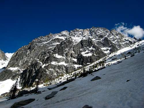
![Dragontail Peak]() Dragontail Peak from the base of the Colchuck Glacier
Dragontail Peak from the base of the Colchuck Glacier
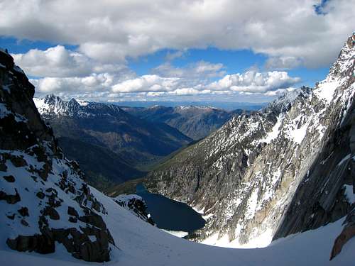
| ![Colchuck Lake]() Colchuck Lake from the col just before our 2,500 foot glissade
Colchuck Lake from the col just before our 2,500 foot glissade |
The Stats
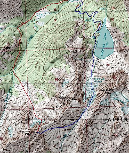
![Map of our Argonaut route]() Our ascent route via NE Couloir in red and our descend route down Colchuck glacier in blue
Our ascent route via NE Couloir in red and our descend route down Colchuck glacier in blueRound Trip Mileage: 12 miles
Total Elevation Gain: 5,900 feet
Time: 15 hours car-to-car




Comments
Post a Comment