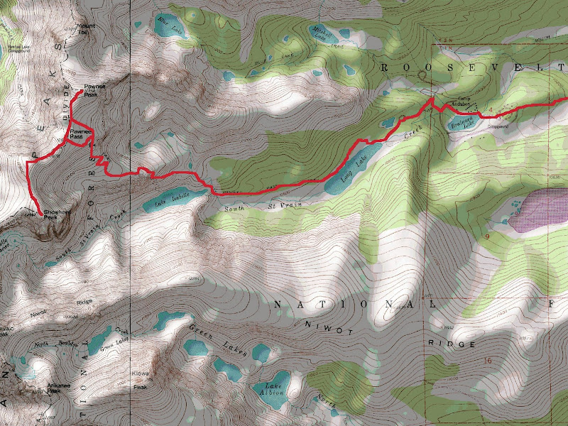
Stats
Distance: ~17 miles
Elevation Gain: ~3800'
Shoshoni & Pawnee Peaks
From Fort Collins, I drove south on I-25, west on CO-66, north on CO-7, south on CO-72 and west on Brainard Lake Road to the winter closure. I biked up to the Long Lake Trailhead over snowpacked and icy sections of road without incident. I locked my bike at the trailhead and hiked up the Pawnee Pass Trail. I put snowshoes on just after the Pawnee Pass-Isabelle Glacier Trail intersection and left them on all the way to the summit of Pawnee Peak. I descended down to Pawnee Pass, then followed the ridge to the summit of Shoshoni, enjoying the mild scramble at the summit. I followed my ascent route back to the Pawnee Pass Trail.
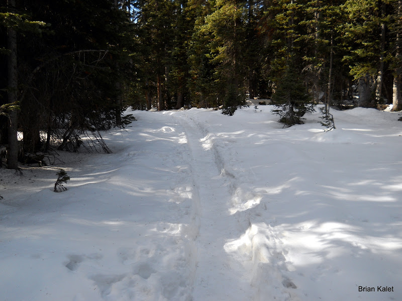
A section of trail between the Long Lake TH and the Wilderness boundary
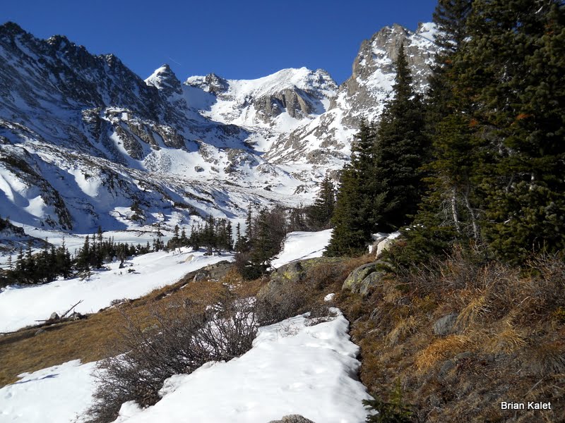
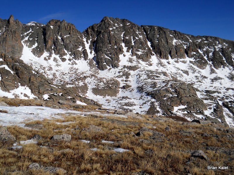
 Navajo Peak and Apache Peak, from left to right
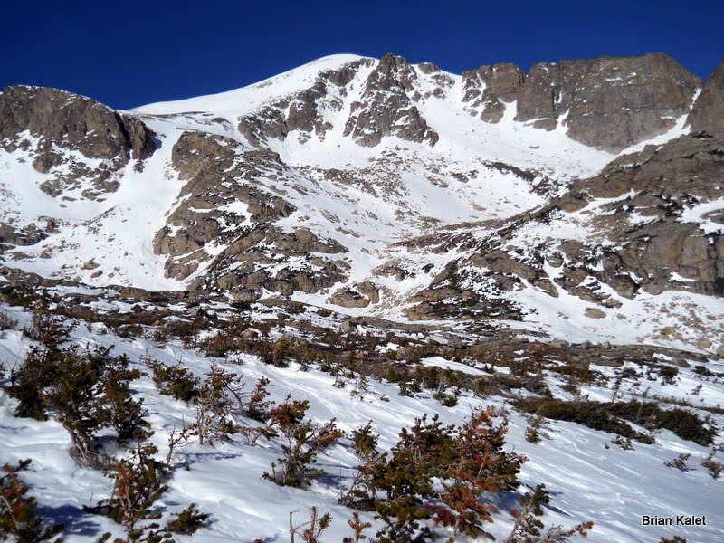
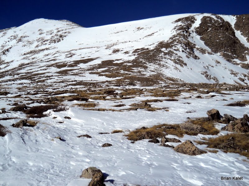
 Pawnee Peak
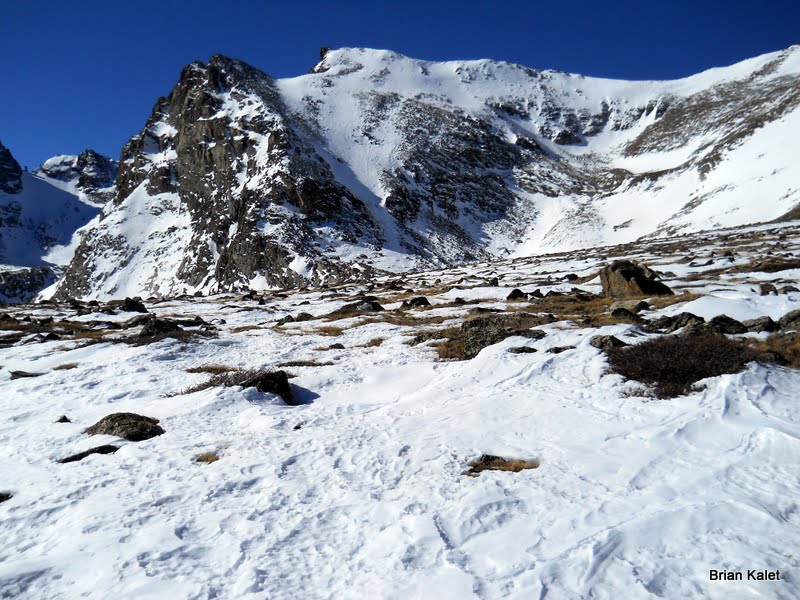
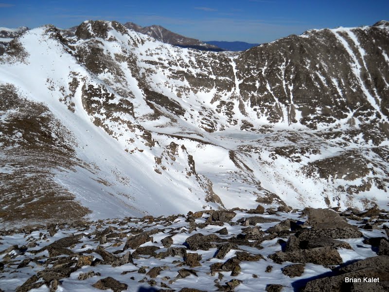
 Shoshoni Peak
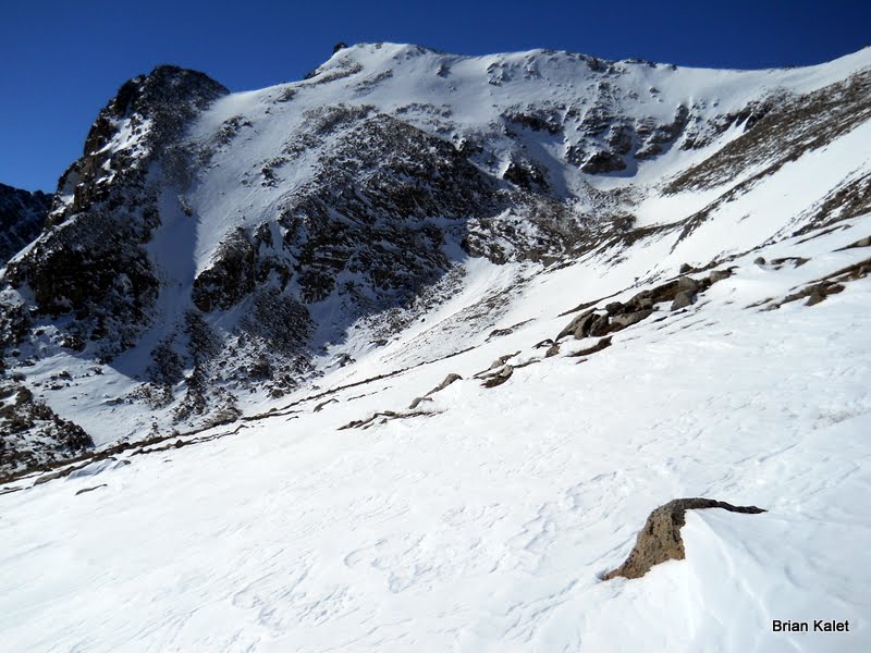
 The final slope up to Pawnee Pass
 Little Pawnee Peak
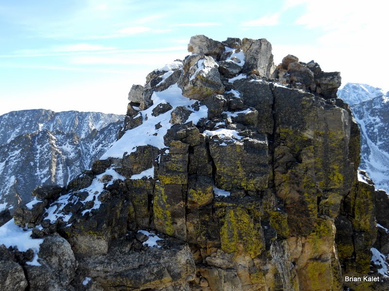
 Shoshoni Peak
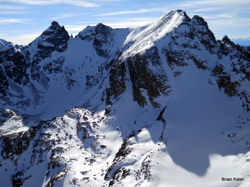
 Mount Toll, Paiute Peak, Longs Peak & Mount Audubon, from left to right
 Pawnee Pass
 Shoshoni Peak summit
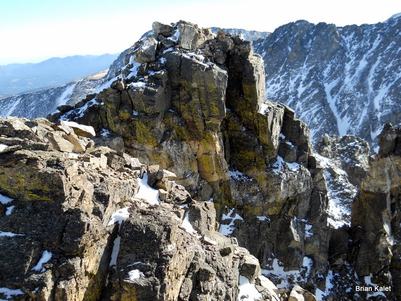 Shoshoni Peak summit
 Navajo Peak & Apache Peak, from left to right, from the summit of Shoshoni Peak
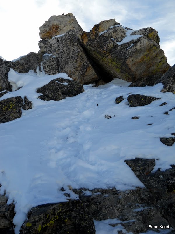
 Shoshoni Peak summit on the downclimb
 Map
Map
 Photos


Comments
Post a Comment