
Comments
No comments posted yet.
|
|
Trip Report |
|---|
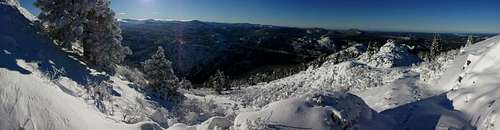
There was a lot of snow
on the ground and the start to the trail was difficult to see. Parking your car on the shoulder of this road
at exactly 1 mile past the bridge and .4 of a mile past the 1 mile marker will
get you very close. If you cannot find
the start of the rough 4WD path due to snow, begin heading due north from the
road and you will run into the 4WD trail which heads to the northeast towards
the peak. Follow the 4WD trail up until
until about 7,500 feet when you will see electricity posts and wires. This
should be about 1.5 miles into the hike.
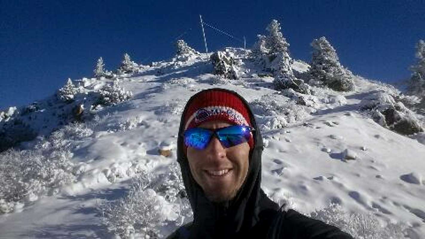
Once you get to the top of the ridge where the hiker’s hut is the
antenna covered summit comes into view a few hundred yards ahead. My roundtrip distance was about 3.8 miles,
gaining nearly 1,700 feet. It had snowed
the night before I went so it was slow going to the top, taking about 2
hours. I then ran down in about 25
minutes.