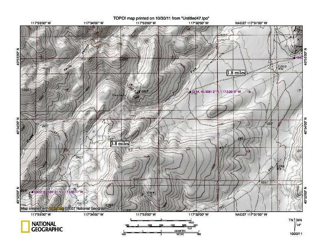
From the 5244 waypoint to the 6600 foot one, it is 3.8 miles and this represents almost half of the mileage you have to travel from the town of Golconda to the the trailhead. This section climbs up via a couple switchbacks and we had to dodge some cattle that were on the road as we
made our way in. While the road is rough and rocky in places, it is very doable in a high clearance vehicle. I'd also recommend 4WD for a creek crossing that has steep banks. Overall, I think the Pole canyon route is
a logical access to get to this mountain. We encountered no other vehicles
during our visit.
10-21-11


