
|
|
Route |
|---|---|
|
|
48.65620°N / 121.5713°W |
|
|
Overview
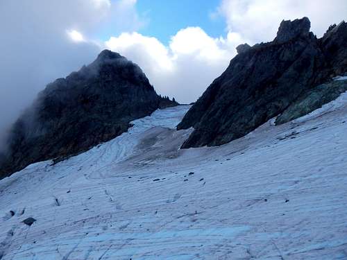
Watson Glacier in late September
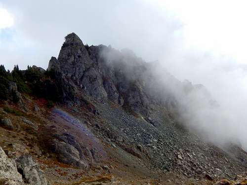
Should you find yourself with poor route conditions such as these, consider swinging around the other side of the mountain for a trip up the South Gully. It appears that this route gets little use, most likely due to the following quote from the Cascade Alpine Guide: 'The gullies on the south slope are steep, loose, and not recommended'. Well, having ascended many of Fred Beckey's 'recommended' gullies, I can say that the South Gully on Mount Watson is fairly tame by comparison. I can also say without reservation that it was the safest and fastest route for our late September ascent.
Getting There
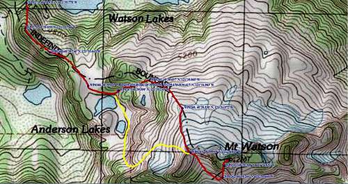
Mount Watson South Gully route map
From the 4800' saddle just east of Watson Lakes, locate a well-defined climbers path heading south up the ridge (Waypoint 271 on route map). Follow the climber's path southeast along the ridge crest to the larger of the Upper Anderson Lakes.
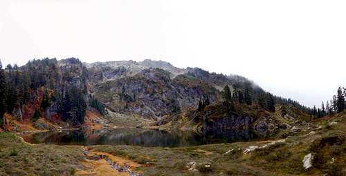
First of the Upper Anderson Lakes. The 'normal route' starts on the far left edge of this photo, the optional 'ramp' is in upper central portion of photo.
From here, you have two options: 1. Follow a climber's path up a narrow gully that starts on the NE side of the lake (Waypoint 267 on route map), or 2. Head south of the Upper Anderson Lakes, then turn left and follow a prominent ramp to rejoin the 'normal route' (shown in yellow on route map). Assuming you have chosen 'Option 1', follow the climber's path to a saddle just north of 'Upper Upper' Anderson Lake.
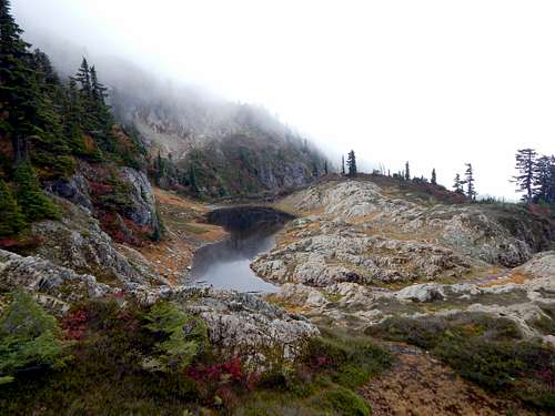
'Upper Upper' Anderson Lake
From the saddle, the climber's path will head SE up Mount Watson's gentle NW ridge. At roughly 5700' (Waypoint 260 on route map), the path will just about disappear. By this point, most climbers heading for the Watson Glacier will have dropped off the ridge to the left. For the South Gully, you will want to drop off the ridge to the right. Parallel the ridge crest (or stay on it if you like) to an obvious, 6000' saddle located just west of Mount Watson's summits (Waypoint 263 on route map).
Mount Watson from west at 6000'. The South Gully route starts at bottom right corner of photo. The West Summit appears highest in this photo, the Central Summit (true summit) can barely be seen poking up to the right.
Pass through the saddle, and travel a short distance SE, dropping to approximately 5750'. After passing around a cliff band extending off the West Summit, you will find the base of the very obvious South Gully.
South Gully at 5800'
The climbing in the gully will be mostly class 3, with two short sections of low-exposure class 4. This would be an especially bad gully for kicking rocks at your climbing partner - we found that a 'leap-frogging' technique (only one of us climbed at a time, while the other stayed in a protected spot) worked very well. The gully climb is only from 5800' to 6100', so this did not add very much time. The gully will be loose rock from 5800' to 6000', and dirt/heather/brush from 6000' to 6100'. From the top of the gully, easy class 2/3 scrambling leads to the summit.
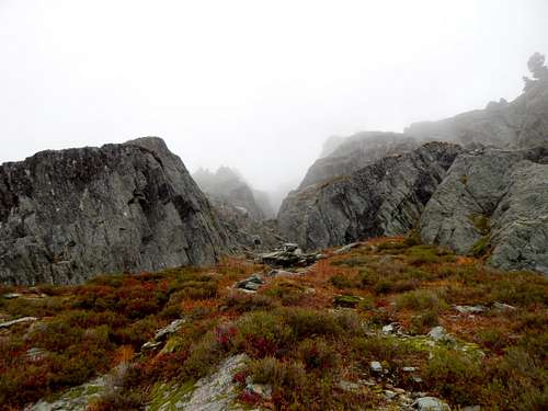
Unfortunately, the clouds rolled in the morning of our climb, making the summit views disappointing.
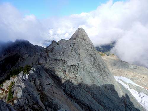
Mount Watson West Summit from Central Summit
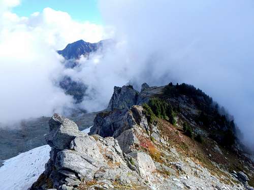
Looking east from Mount Watson Central Summit
Recent rains had made the top 100' of the gully a little slick, so we elected to use a 1/4" handline to assist in the descent. Under dry conditions, this would be unnecessary. The rope was left behind - please do not make any use of this rope if you elect to ascend the South Gully - this was a $5 Home Depot rope, and will likely not take any weight after being exposed to the elements.