
Comments
No comments posted yet.
|
|
Trip Report |
|---|---|
|
|
44.10350°N / 121.7692°W |
|
|
Sep 1, 2019 |
|
|
Hiking |
|
|
Summer |
The most crowded mountain I have ever climbed.
At 10358 ft, South Sister is Oregon’s third highest peak and the highest peak whose summit is a walkup. I knew that I would encounter many other hikers on Labor Day Sunday but I did not expect to see hundreds of people. The mountain, however, turned out to be gorgeous and well worth the crowds.
Trailhead Elevation: 5460 ft
Summit Elevation: 10358 ft
Total Uphill (per GPS downloaded onto Topo Map): 5026 ft
Roundtrip Hiking Distance: 12.0 miles
Sunday September 1, 2019
Kris and I left the vacation rental house in Sunriver, Oregon, drove to Devils Lake Trailhead and parked by the road where there were many other cars. As we were getting ready to leave, we could see other hikers. There was actually a short line for self-registration at the trailhead.
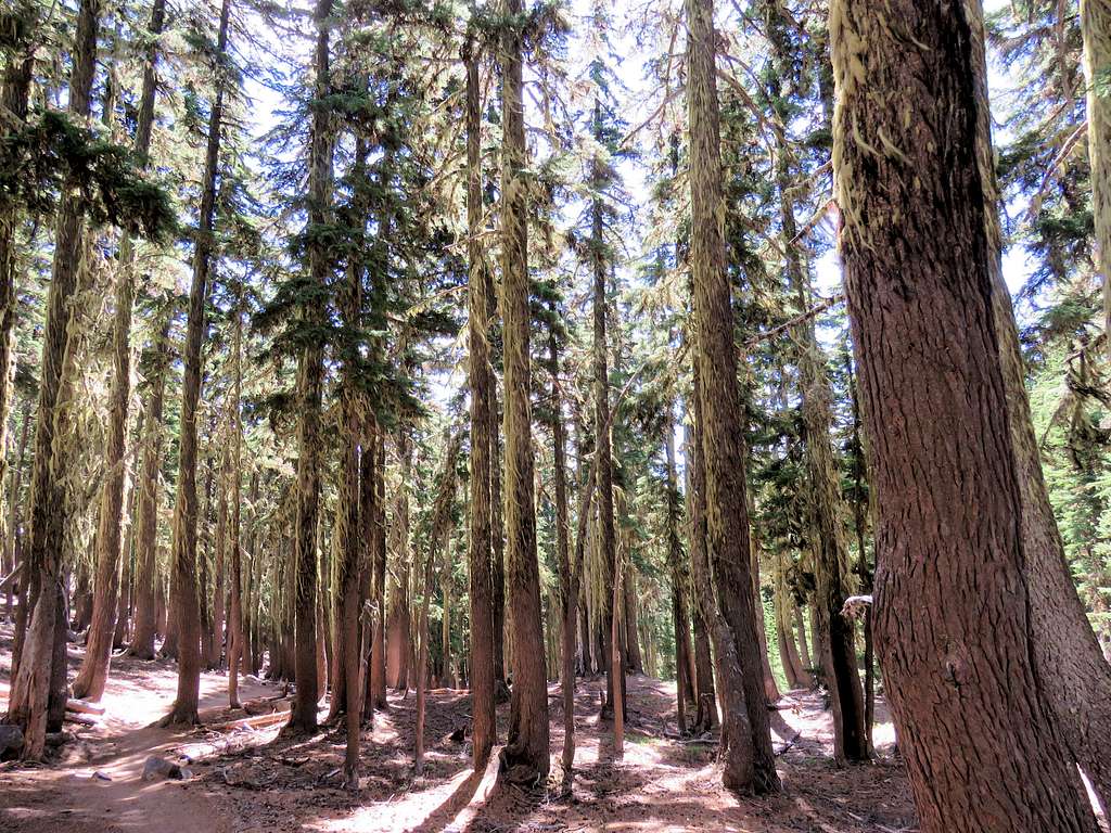
Started our hike at 6:30 a.m. the trail went into a pine forest and began to climb. We were in the shade. It had been decades since I had been on a crowded trail like that. Fortunately, I did not seem to be bothered by the crowds too much.
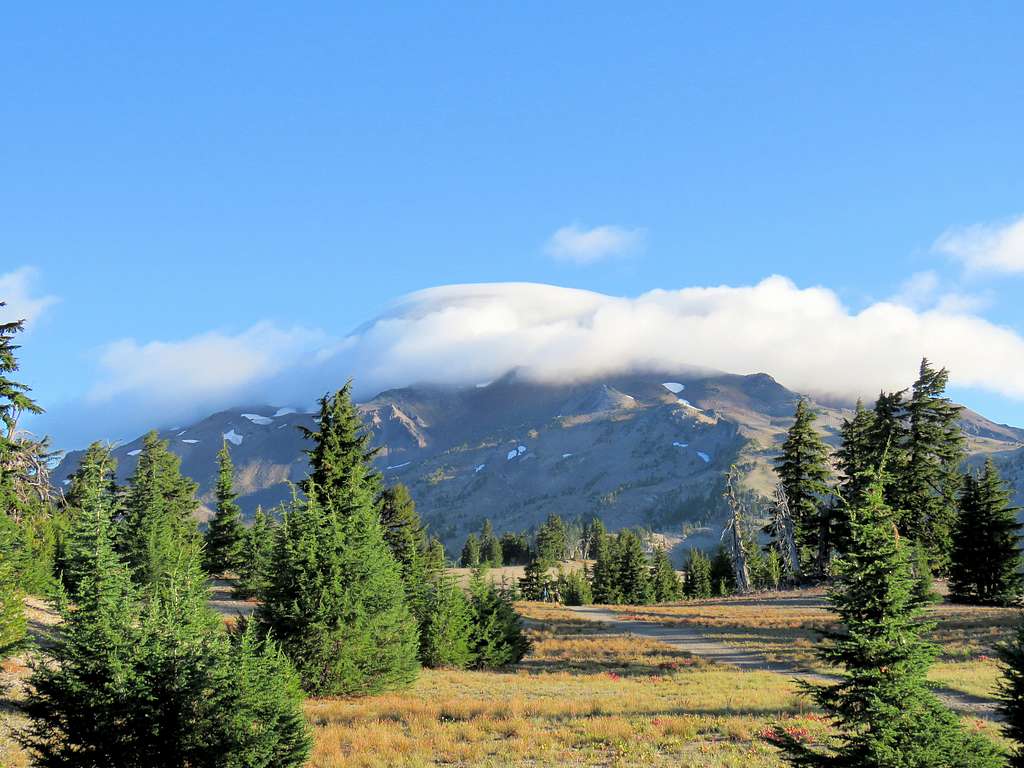
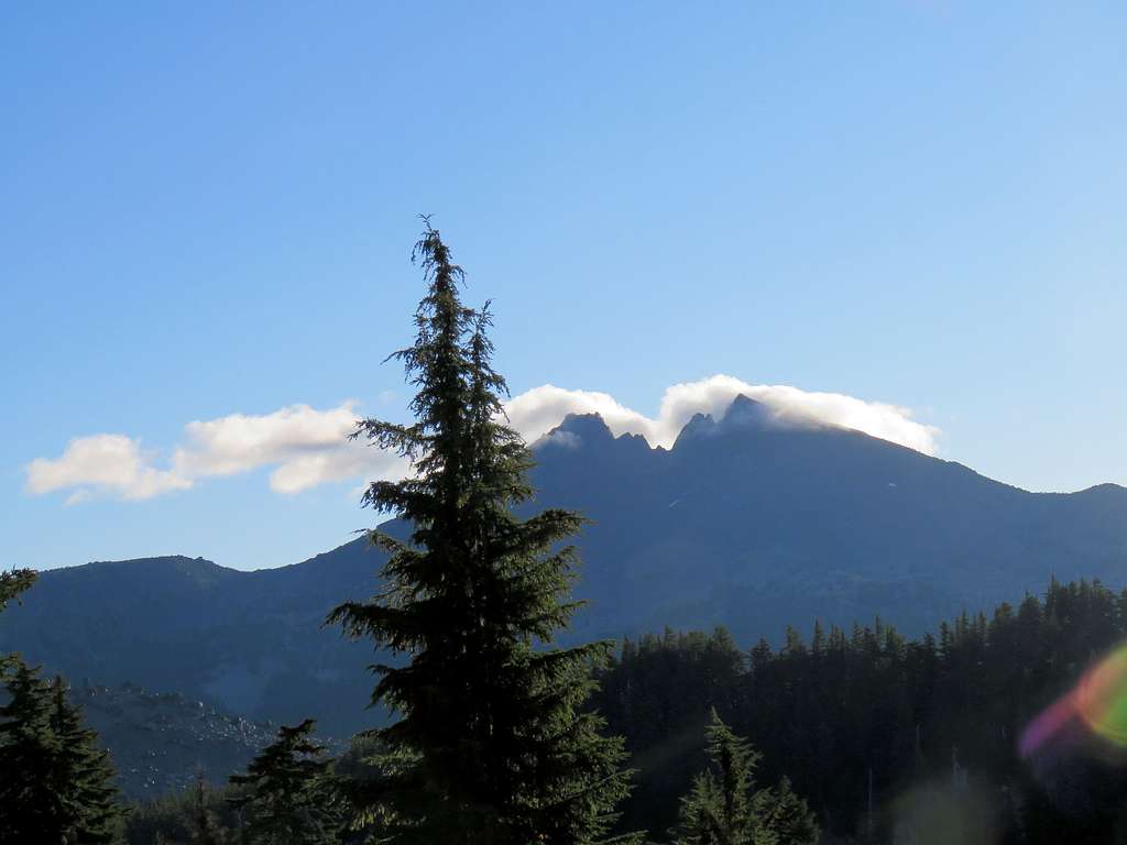
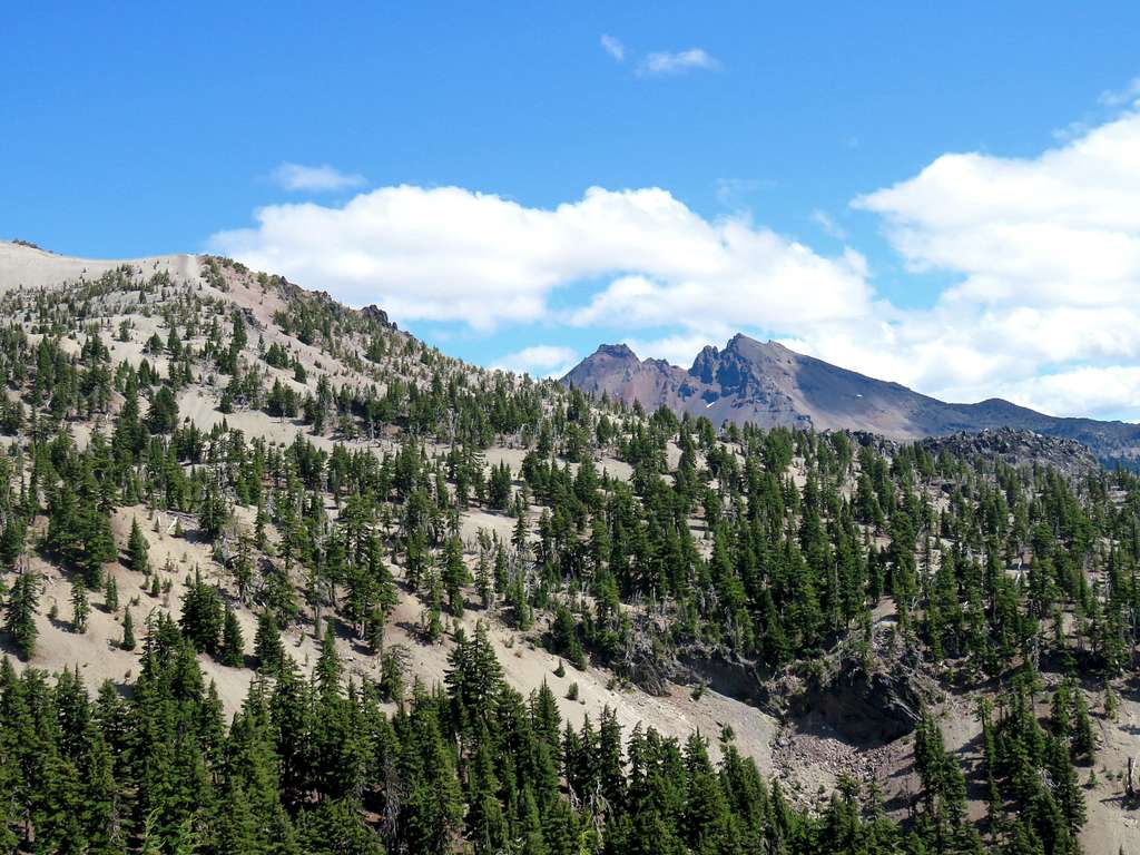
After 1.6 miles, at an elevation of 6700 ft, the trail reached the top of a broad ridgetop where South Sister finally came to view but the top of it was covered by clouds. The forest went away and there was mostly yellow grass with scattered trees.
For the next 1.3 miles, the trail remained on the ridgetop and went up in elevation only 300 ft. Broken Top appeared to the east as a big shadow.
After 2.9 miles from trail head, at an elevation of 7000 ft, we finally reached the base of the mountain where the real climbing began. Still had 3350 ft to climb.
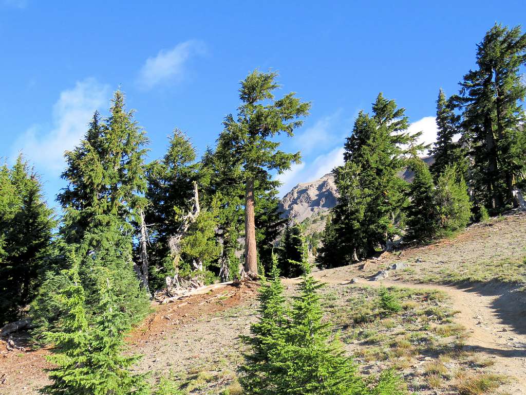
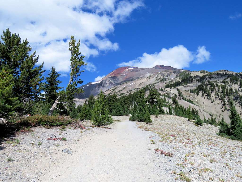
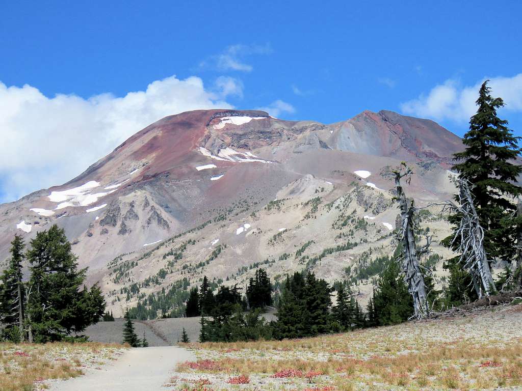
Going up through the last stands of trees.
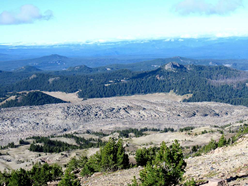
Looking back at a lava field to the southwest.
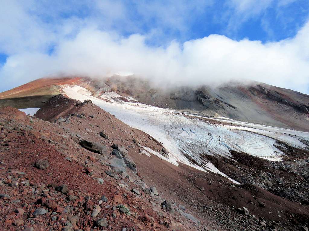
At around 8:30 a.m. and 7500 ft elevation, Kris said he did want to go any more. I gave him the Walkie Talkie and called him every 30 minutes after that. Farther up, the trail became steeper and wind began to blow. At 8850 ft, I reached a high point where Lewis Glacier and the lake at the base of it came to view. Many people had sat there to eat and enjoy the view. I was hoping that the crowds would thin out but that did not happen.
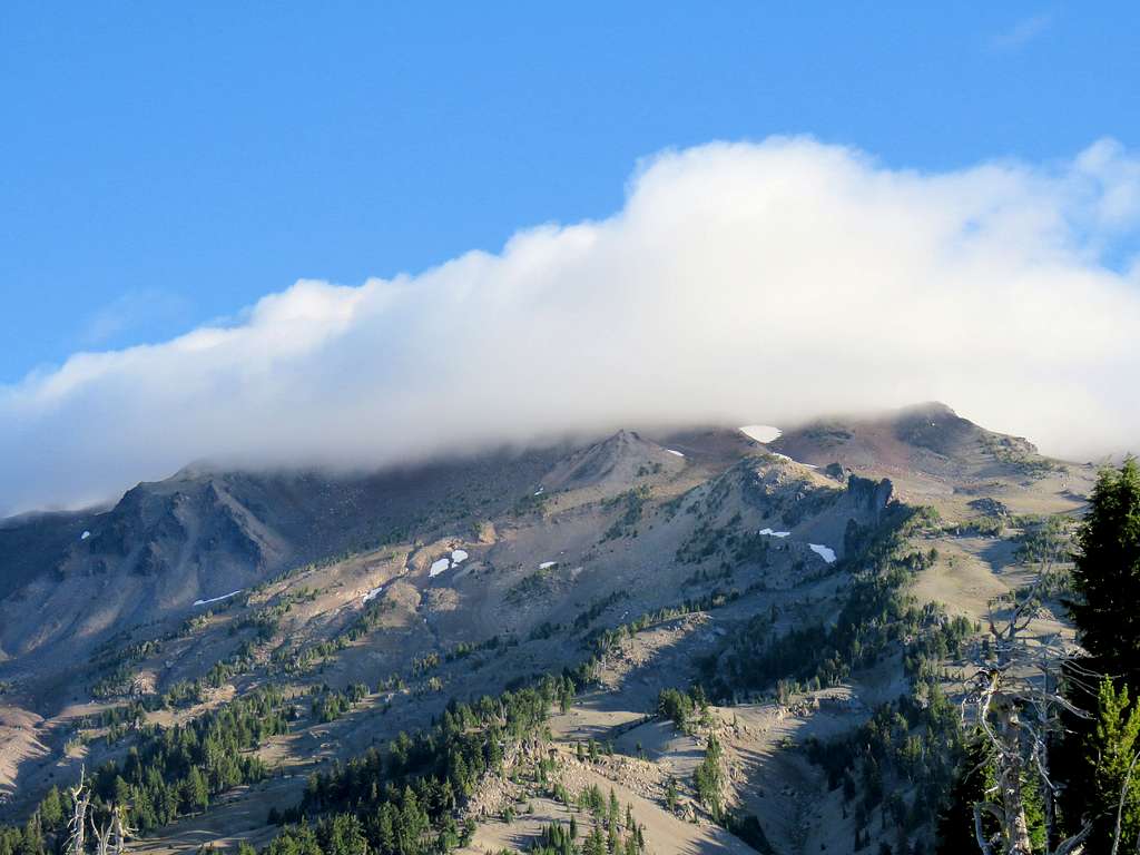
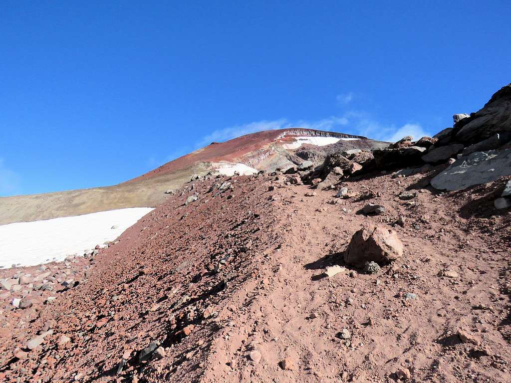
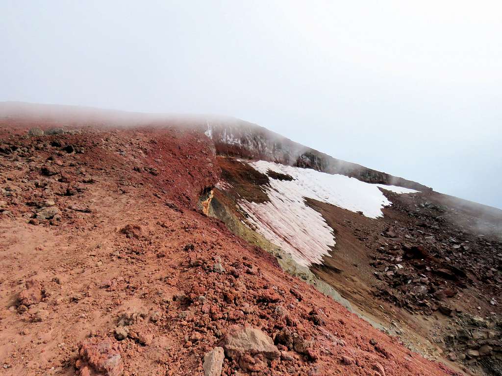
The trail got on a red dirt ridgetop to the west of Lewis Glacier and continued up steeply toward the summit. The wind became strong and cold blowing the summit clouds fast.
Just below the summit, it was very windy, cold and cloudy.
Reached the south end of the top crater at 10:40, 10210 ft. Hopped behind a rock to protect myself from the wind. I knew that the main summit was 0.4 miles away on the north end of the crater but it was foggy, windy and cold. I thought going to the true summit might not be worth the cold wind since there seemed to be no views to be had. Put on coat and gloves and began to have my lunch. A few other people were hiding from the wind behind the same rocks but I saw more people coming and going toward the main summit. For about 30 seconds, the clouds went away and I saw the big snow filled crater on top of the mountain but it got foggy again.
I then thought it would be stupid to go all the way up there but not go the last 0.4 mile so I began to walk the pathway on the east side of the crater toward the main summit. The wind was making my cheekbones hurt. How cold could it have possibly been? Interestingly, in 2-3 places, I saw windbreaker piles of rock and tents behind them. I then reached the true summit. Did not bother to look at watch or GPS in the cold wind. I did not even put down my backpack. For the 5 minutes that I was there, I did not see any other people. Clouds were moving very fast and I was hoping to see the Middle and North Sisters. Of the many pictures that I took, this was the one with the least amount of clouds.
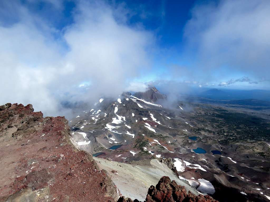
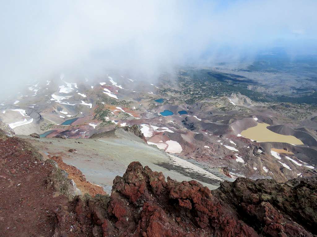
The views of Carver and Chambers Lakes were most impressive.
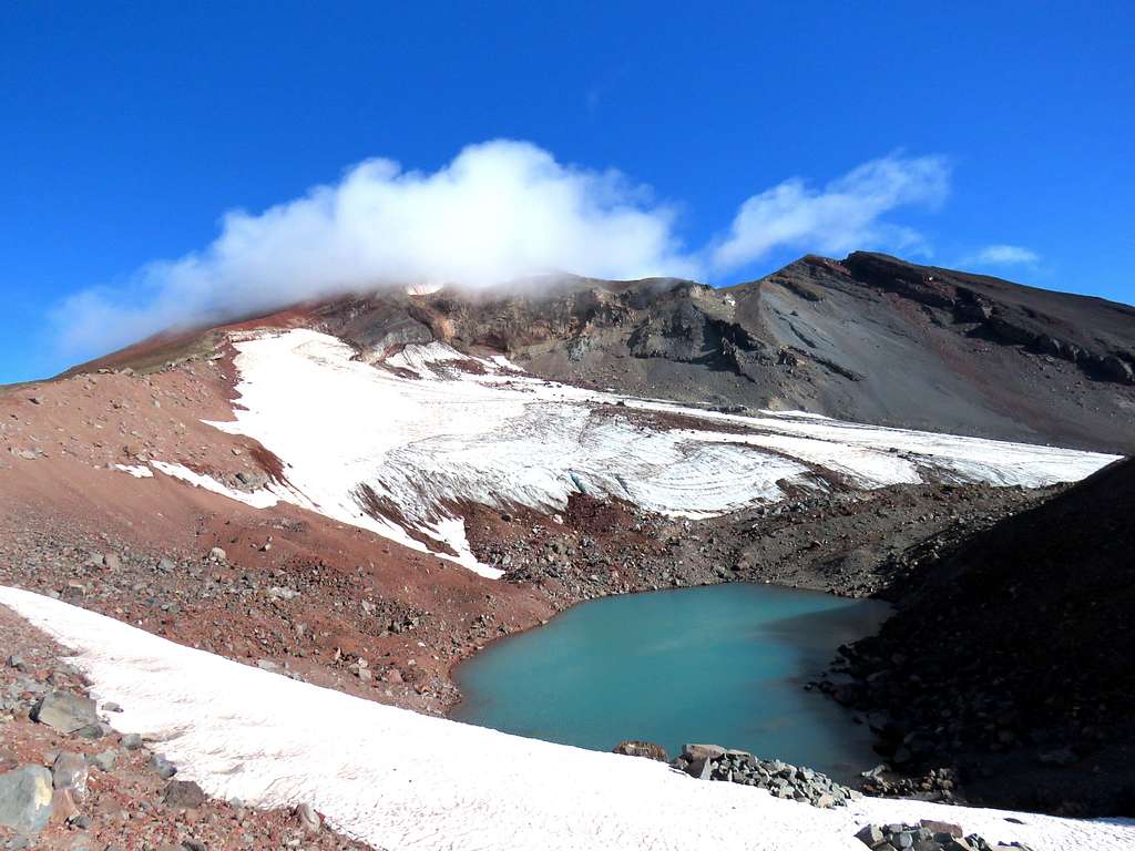
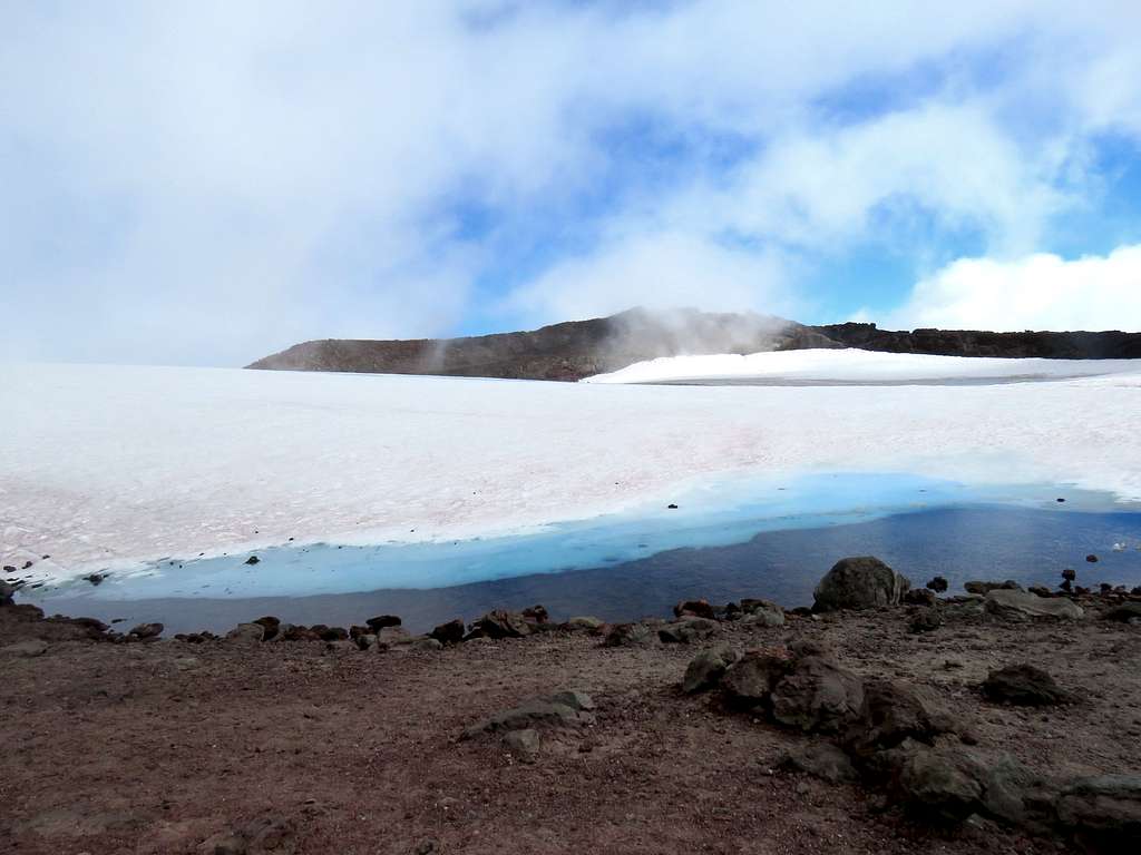
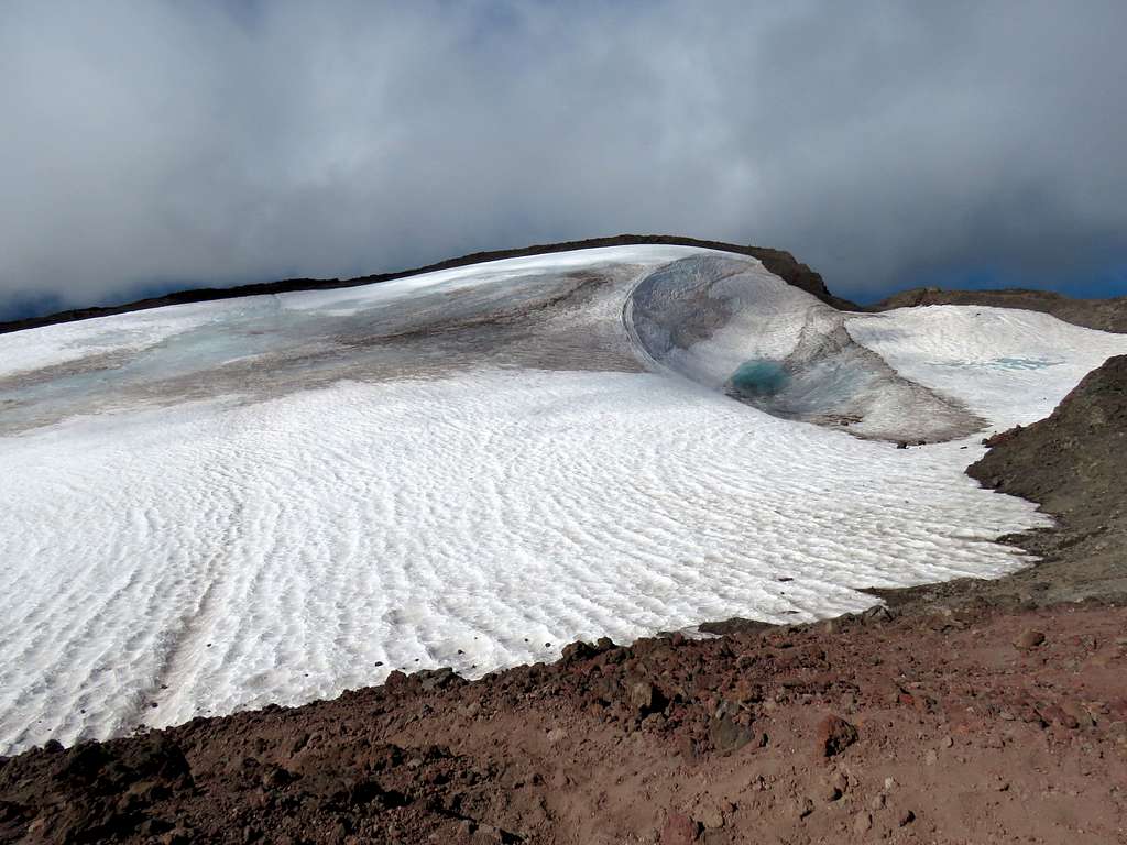
Glacier in top crater and the Teardrop Pool.
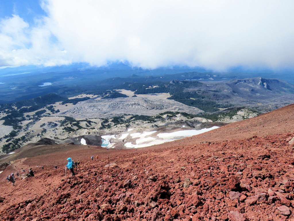
I then walked back to the south end of the crater, took another break from the wind behind the rocks, then began to walk down. The long line of people coming up and going down the mountain.
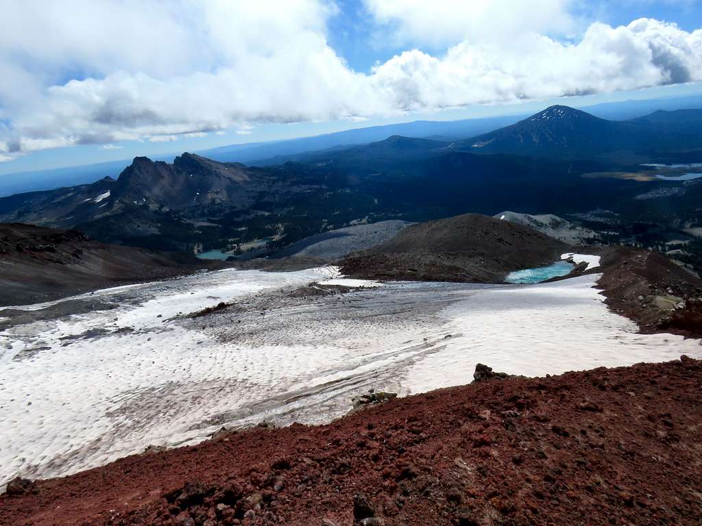
Lewis Glacier, Broken Top and Mt. Bachelor.
I was down to around 8000 ft when it became sunny and the wind was no longer cold or strong. Took off my jacket. The crowds seemed to have suddenly disappeared. At times, I did not see any other person for up to 10-15 minutes. I could understand that hardly anybody would go up the mountain at that hour but what happened to all the people who had gone up the mountain with me? I doubted that I had got ahead or behind all of them. On the broad flat ridgetop area, I had good views of Broken Top plus Mt. Bachelor and Moraine Lake.
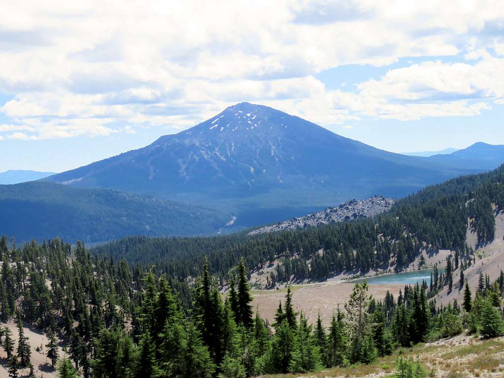
Final looks back at South Sister.
I then entered the pine forest and continued down the trail. At trailhead, there was a forest ranger lady. I asked her how many people were on the mountain. She said she came to that spot at 9:00 a.m. and she counted 100. Well, I was sure most hikers had started well before 9:00. Reached the car where Kris was at 2:10 p.m.