Page Type: | Mountain/Rock |
---|---|
Lat/Lon: | 49.21180°N / 19.09400°E |
Activities: | Hiking |
Season: | Spring, Summer, Fall, Winter |
Elevation: | 5272 ft / 1607 m |
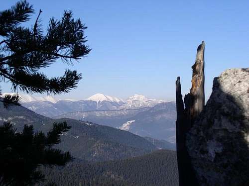
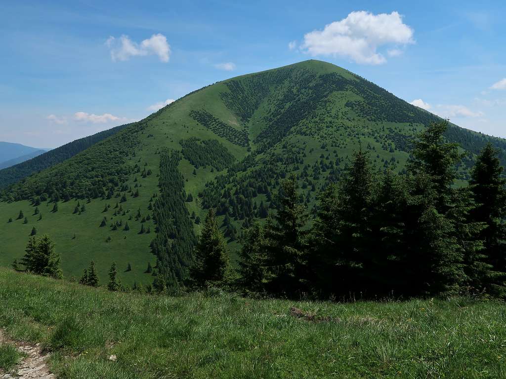
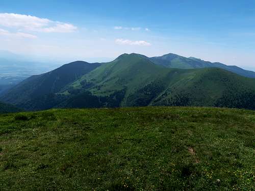
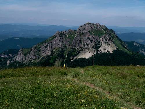
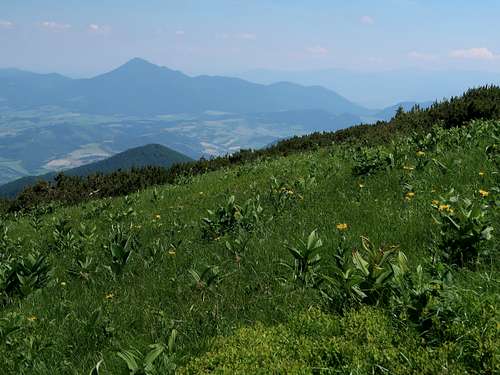
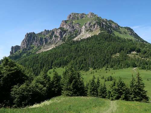
Stoh means Haystack and is aptly named. It sits on the main ridge just south of Veľký Rozsutec, separated from it by sedlo Medziholie (sedlo = saddle). It is three metres shy of its famed neighbour and nowhere near as jagged as it, however, a prominence of 380m makes Stoh the third most prominent summit in the Malá Fatra range. Stoh's charm lies in its regular, conical shape and the challenge the mundane, at first steep and slippery, ascents from the saddles lying north of the summit (especially from Stohové sedlo), present. Those northerly routes as well as the summit command beautiful views of Veľký Rozsutec. Among other interesting peaks and areas pretty well seen from the summit, I would name Veľký Kriváň and Malý Kriváň, the Veľká Fatra range and Veľký Choč. |
On the fringe of the Krivánska Fatra there are several access points you can choose from. Route statistics for the most likely options are in the following table.
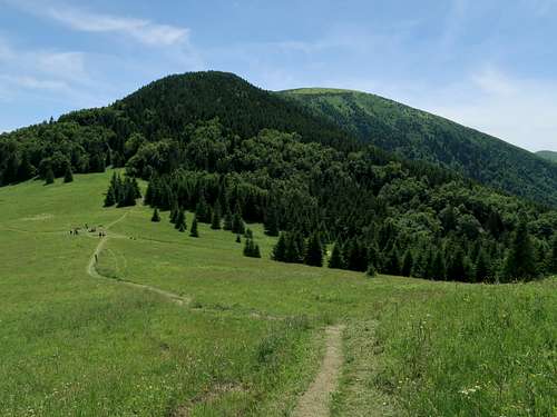
And here is a short description of the stretch of the main ridge trail which runs over the summit of Stoh between a trail T-junction named ‘Chrbát Stohu’ (NW of the summit, 85 vertical metres above nearby Stohové sedlo) and sedlo Medziholie (NNE of the summit): From ‘Chrbát Stohu’ it is 290 metres of elevation gain to the summit. The most laborious is the first part of the ascent, through woodland. From Stohové sedlo the slope is steep and there is no rock under your feet but clay, or rather mud. Trekking poles are indispensable. I remember slipping and falling over twice while struggling to cope with the wet ground along this stretch without poles several years ago, and it was on my way up, not down! What is pleasing about this section of the trail is that the trees offer you shade when the sun is hot. Later on, above the timberline, the trail becomes less steep and on your left you have views of Veľký Rozsutec all the time. An ascent from Medziholie is similar, generally gentler than from the northwest, but several hundred metres longer and with more elevation gain. Apart from the main ridge trail (red marks) running over the summit of Stoh, ‘Chrbát Stohu’ and Medziholie are also linked by yellow marks which traverse the north side of the mountain almost horizontally. If it is wet expect tons of mud on this trail. If you are on the main ridge trail and wonder whether or not to climb Stoh, the following table might help you decide.
|
As for the analog maps, there are plenty of options. I would recommend the plastic 1:30,000 map by Compass. |
From the NorthThe village of Terchová lies about 25km east of Žilina, one of the largest cities in Slovakia. There is a quite frequent direct bus service from the city to the village. From Terchová you can take a bus to Štefanová. (But you can find a five-kilometre walk along the road interesting.) From the SouthThe village of Kraľovany is easily accessible by both road (D1 motorway) and rail. |
|