Intro/Stats
N. Tarryall Pk (11902')
Topaz Mtn (11762')
"Tater Top" (11611')
Tarryall Mtns
Dec 13, 2008
13.3 miles RT, 3830' gain
via Nate Stultz TH (9700')
Slideshow w/music
I was hoping to hit some high peaks this weekend since I haven't been above treeline in awhile, but nasty forecasts to the peaks I had targeted kept kept me from hitting any 13ers. I have found out that you can't beat a plan B in the Lost Creek Wilderness, although technically only one of these peaks is inside the wilderness boundary. I settled on N. Tarryall and Topaz, which would be a good solo challenge as the onset of winter is near. I had high hopes of adding ranked 11er "Tater Top" to the day as well, but 5.4 miles of unknown obstacles stood in the way.
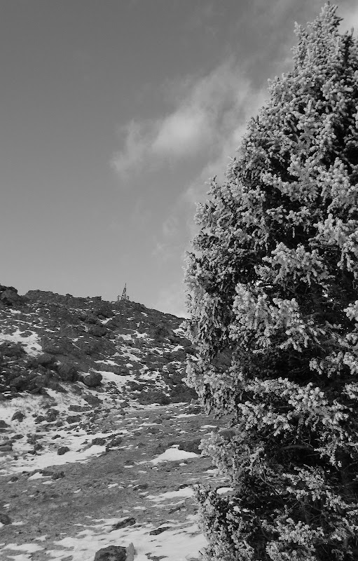
I wasn't sure if Forest Rd 141 would still be open this late in the year, but it was and there was only about an inch of snow on the road. I set out at 6:20am with temps probably in the upper 20's. The NOAA point forecast was calling for 55 mph winds and an approaching storm, so I was prepared with full winter gear. I debated whether or not to bring snowshoes, but brought them just in case it dumped on me during the hike.
Cruising Up North Tarryall
The Nate Stultz trail initially was pretty easy to follow and had a few cairns here and there as it crossed Gooseberry Creek and climbed up a s.w. facing aspect, which means lesss snow to deal with. I was happy to be on a trail for once after some recent bushwacks on low peaks in Park county. The trail would be shortlived though. I lost it for awhile and bushwacked back uphill and found it, following it easily the rest of the way to the N.Tarryall/Topaz saddle at 11030'.
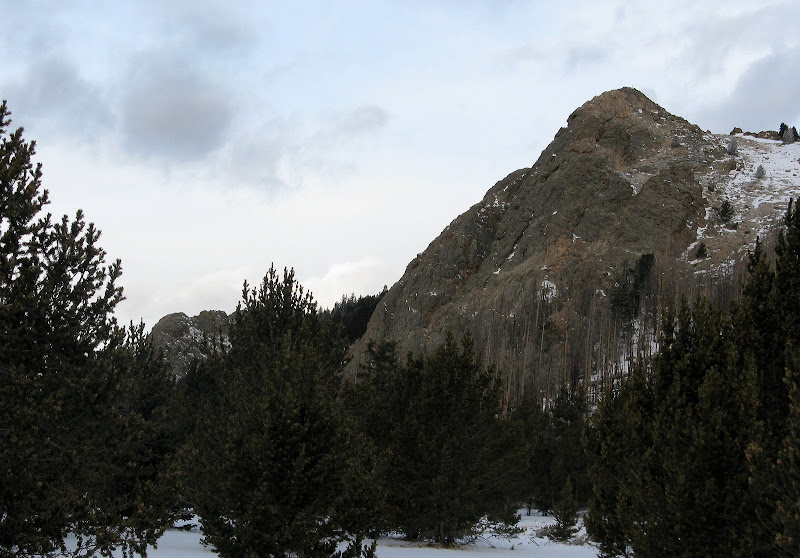
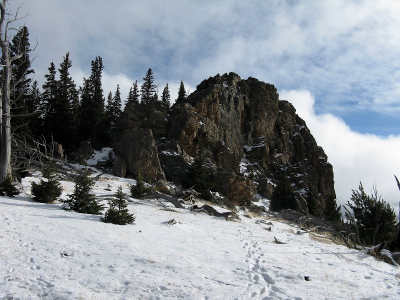
The south face of N. Tarryall as seen from s.e. ridge:
I left the trail here and enjoyed a mellow bushwack up the s.e. ridge to the summit block of N. Tarryall. The wind picked up as expected when I cleared the trees, but it was probably only in the neighborhood of 30 mph gusts. A class 2 scramble brought me to the summit, topping out at 8:37. The summit was surprisingly pleasant as it was in a wind shadow.
I signed the register and headed down to the trees for a longer break. I knew that the tough part of the day was yet to come as I was making decent time. The snow along the ridge was probably 3" to a foot deep, not deep enough for snowshoes but enough to slow you down.
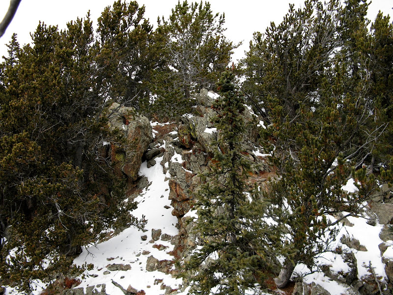
A Bushwacking We Go
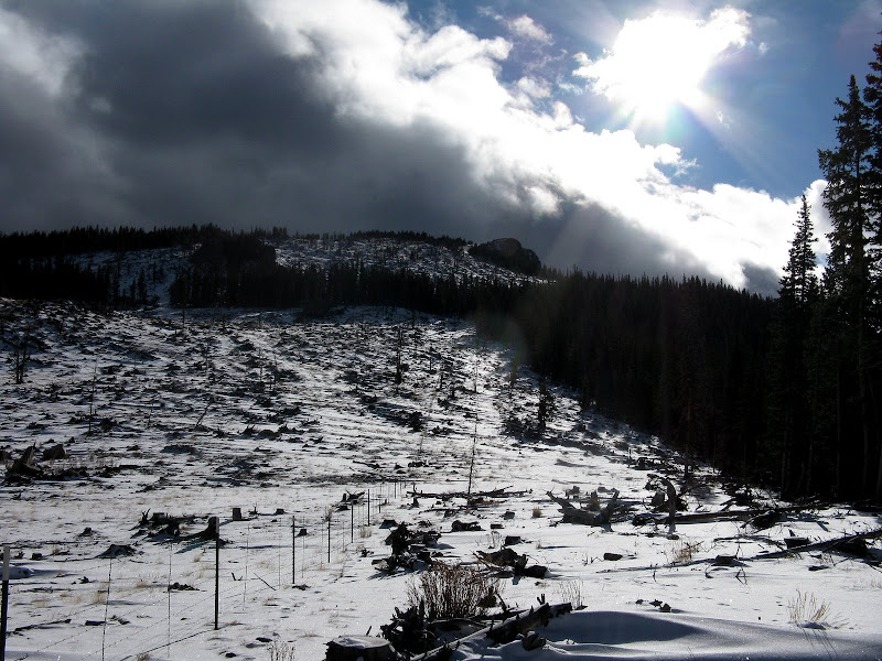
It is evident that logging operations has put a huge scar on the land. A good chunk of the n.w. slopes of Topaz is bare. I followed a fenceline for a ways and headed up the scarred slope. It's too bad this area isn't a part of the Lost Creek Wilderness.
The traverse over to Topaz involves going over a false summit and weaving around numerous outcroppings. For the most part, I tried to stay on the south side of the ridge to take advantage of shallower snow. It took me a little over 2 hours to reach the summit of Topaz, but I was still ahead of my cutoff time of 12:30. This summit features 2 registers, one of which was placed way back in 1976 by the Brown Bear Mountaineering Club! I took a long break below the summit knowing that the 2.5 mile traverse to Tater Top would be tough.
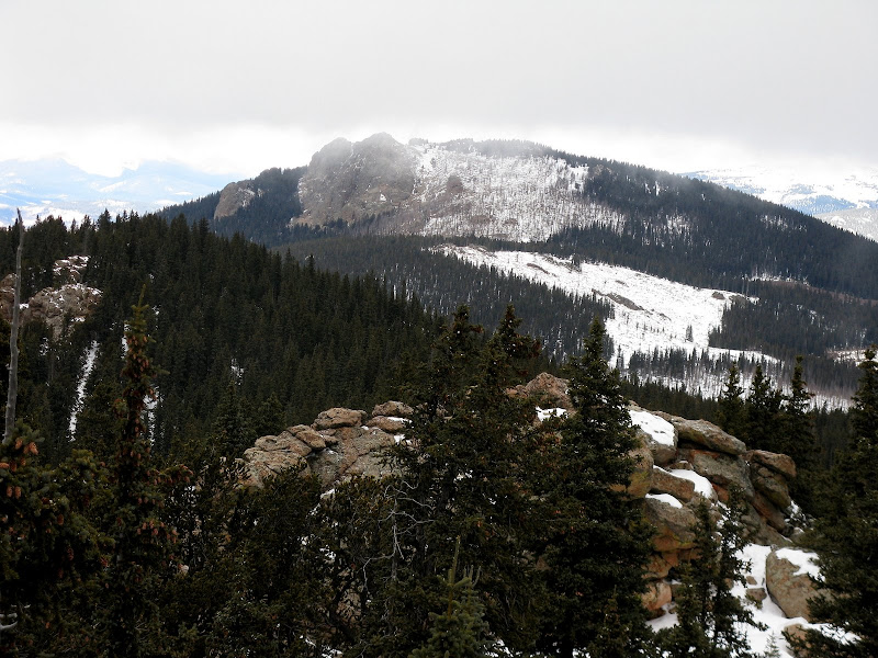
N. Tarryall from Topaz
Topaz has a very long ridge, with a false summit on each side. I continued to weave around rock outcroppings and deadfall, making my way over to the s.e. summit at the top of the Hourglass Burn. I skirted this summit on the s.w. side, staying below a tedious boulder field. From here, the desent to the Tater Top saddle was quick and painless.
From the saddle, it's "only" 411' vertical and 1/2 mile to the summit of Tater Top, but it doesn't give up its' taters easily! This section of the bushwack was the roughest on the day, or maybe it seemed that way as I was running out of gas. A large animal spooked me as it darted by within 30 feet of me at warp speed. It either was a moose or a large bighorn sheep as its tracks were huge. Needless to say, I started making more noise! I went across one jumbled section of the ridge that was tedious but fun.
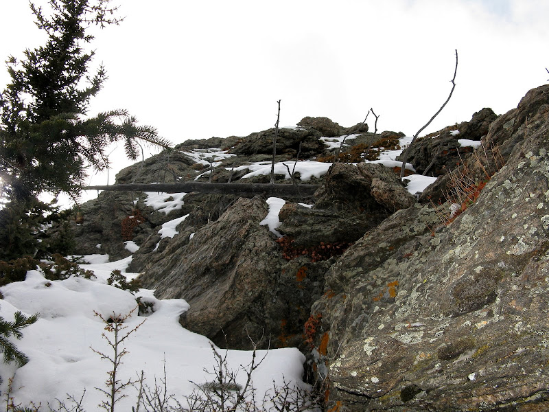
I finally came to the summit block and wrapped around the north side of the face to find the walkup route.
The impressive n.w. face of Tater Top:
I probably didn't pick the easiest line as it involved some class 2+ bush belays.
It 2.5 hours to go from Topaz to Tater Top and was now after 2pm, so I decided to go without a break until I was heading down for good. This peak sees few visitors, with the last being my friends John and Renata back in March. I followed my tracks over and around the many obstacles and noticed what looked to be a mountain lion track inside mine. Luckily he wasn't following me though!
I was relieved to finally be back at the saddle and bombed down a west facing drainage in hopes of finding a trail that headed to the FR 141. The bushwacking down this drainage wasn't bad at all and I found remnants of the trail in places. I was happy to finally reach the road after 8 hours of bushwacking and reached the car just as it was beginning to snow at 4:45. I've always wondered how many calories you burn on a hike like this, so I finally got a watch with a calorie counter. It ended up logging 5,764 calories for the 10.5 hour day! That beats running on a treadmill at the gym any day! This hike served as a nice warmup for winter!


Comments
Post a Comment