The least accessible peak, and possibly the toughest route in the San Gabriels.
16 miles, 7500 ft gain
Triplet Rocks, have you heard of this name? If you're well-versed in unique places / hikes in the San Gabriels, you probably have. Otherwise, this peak with no name on a topo map might not mean anything to you. But it should.
When I first began hiking and picked up hiking books by John Robinson and Jerry Schad, it was stated that Iron Mt was the least accessible peak in the San Gabriels. And the San Antonio ridge was the toughest cross-country hike. All is good until you fall upon Sierra Club trip reports of other routes. For instance, the southwest, northwest, and north ridges of Iron Mt have been done and are more difficult than the better known "popular" routes.
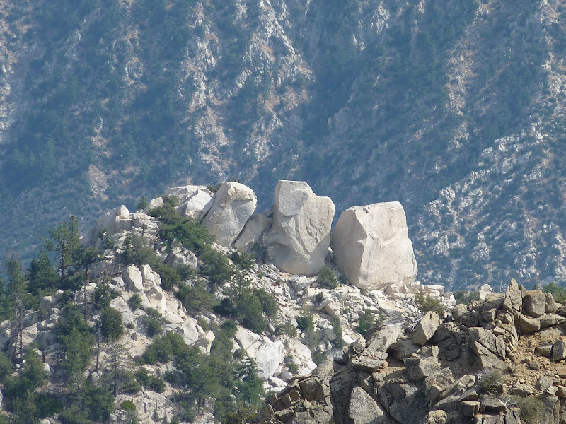
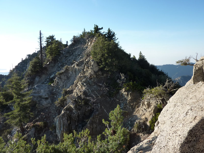
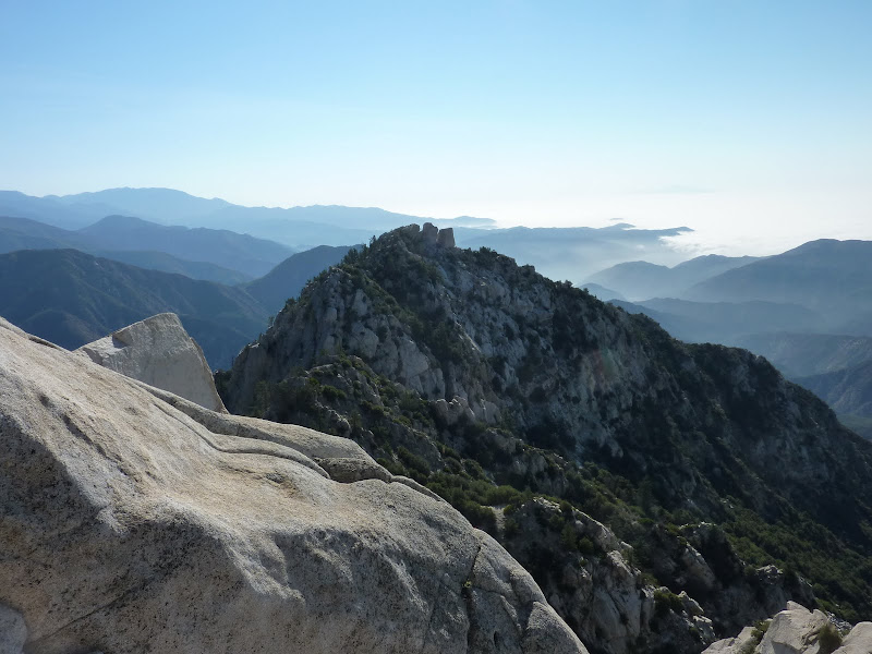
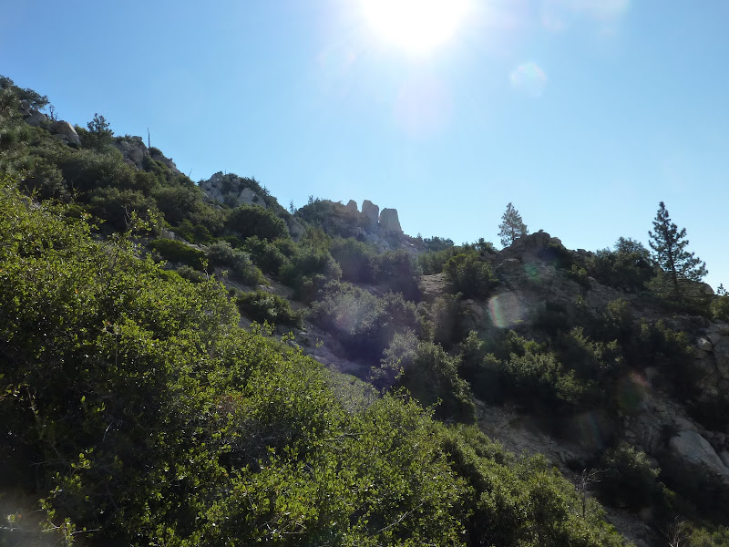
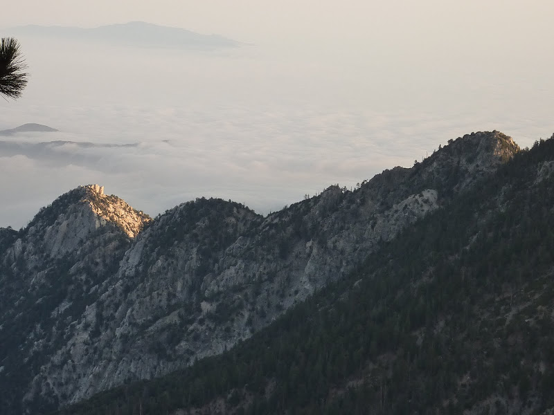
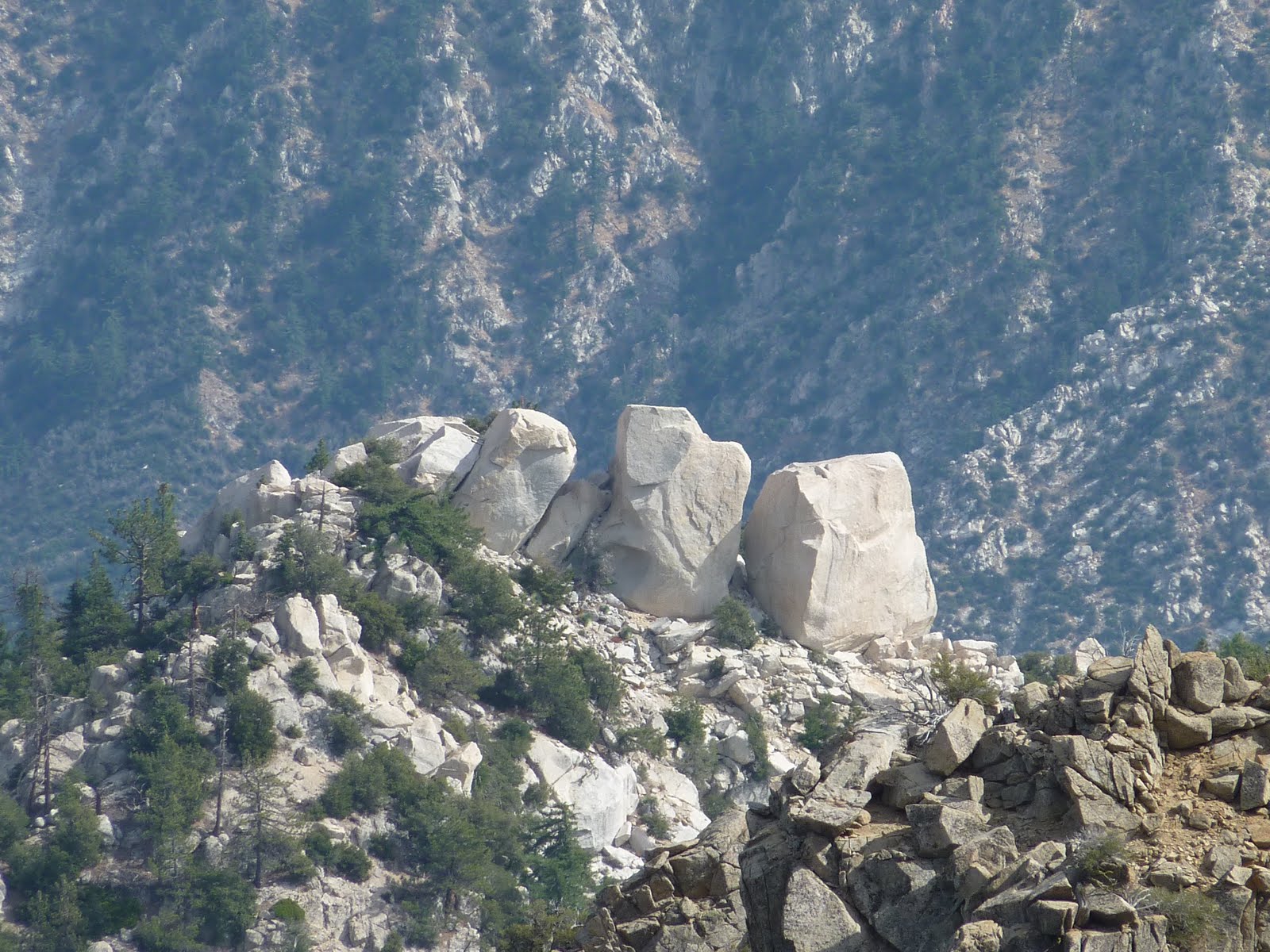
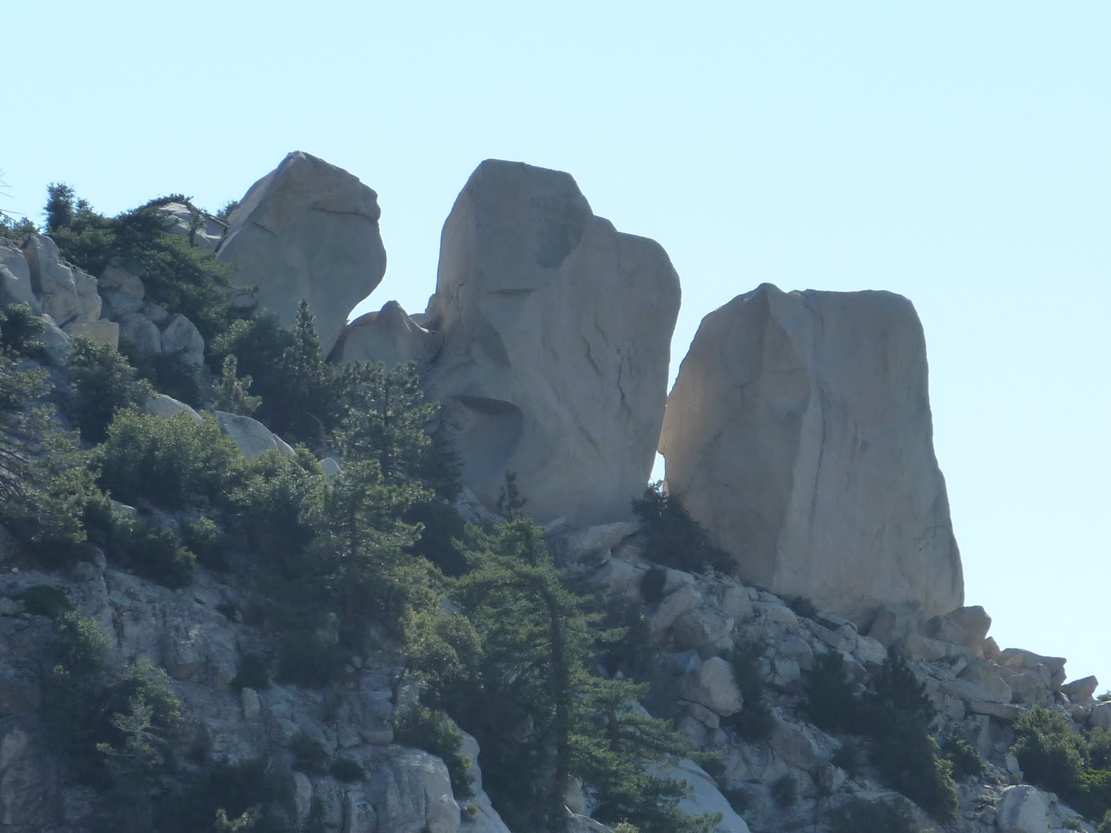
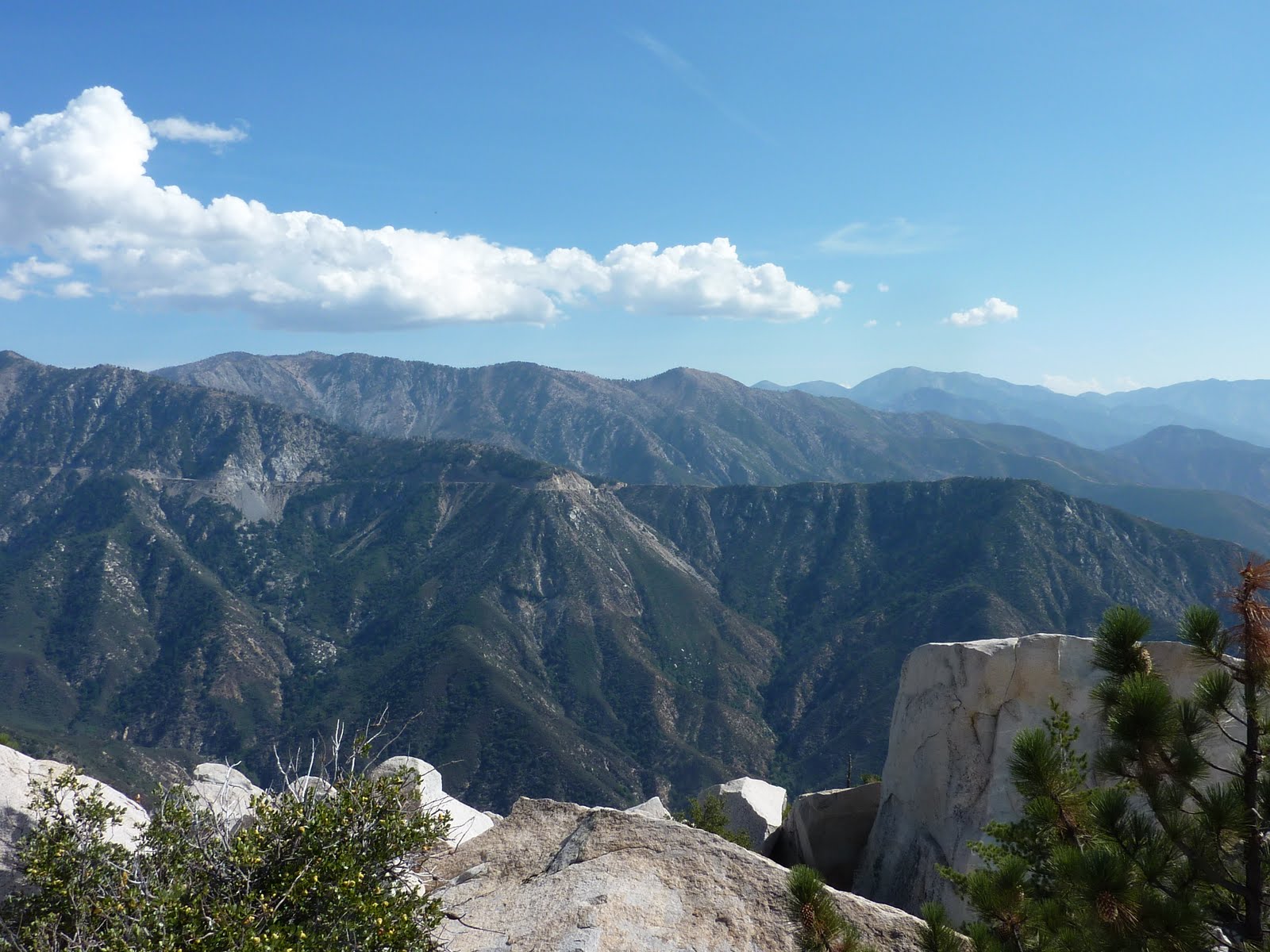
Then, one falls upon a peculiar trip report about Twin Peaks. The definitive local death march is Triplet Rocks.. Eh, what's that? If you stay just on the summit of the East Twin, then you wouldn't notice them. But if you walk down 100 ft east, you get a view of these 3 huge boulders perched up 3 miles away via an undulating, treacherous-looking ridge. I had noticed this ridge while driving on the ACH near Islip saddle and also on a hike on Pleasant View ridge 2 years ago, but had not known what it is - the most brutal ridge and peak to reach in the San Gabriels. And based on my attempts, I would have to strongly agree.
Click on balloons for geo-tagged photos
Click for more stats & gps files
My first attempt happened on a whim in June 2009, and it ended up unsuccessful. I was somewhat upset, but figured another opportunity would come in the fall when it cooled down again. Then the Station Fire changed that. Gradually the desire to get to those rocks grew until I lost all patience and had to try again.
We had 5 people total attempt this time and started at 4:30 am. We figured we could do the 2 hr trek to the East Twin on trail in the dark and start down the ridge just as it was getting light out. Sadly, while descending toward Twin Peaks saddle, we missed the trail intersection and started heading toward Three Points! Then we ended up headed down cross-country, something I really didn't want more of and especially in the dark. Ugh. Turns out the sign at the trail junction has been set aside next to a tree so we totally missed it.
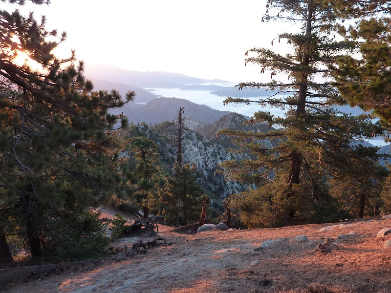
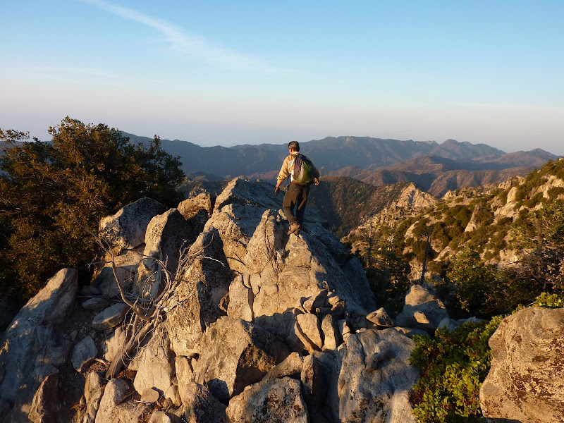
Aside from that little extra fun, we made it to East Twin with little issue. A little behind time-wise, but still okay. Then, we began our trek down the ridge.
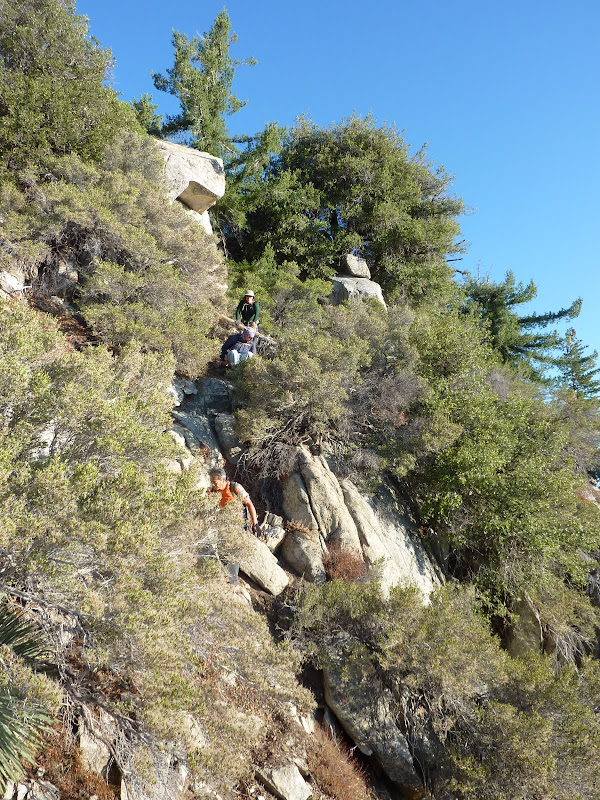
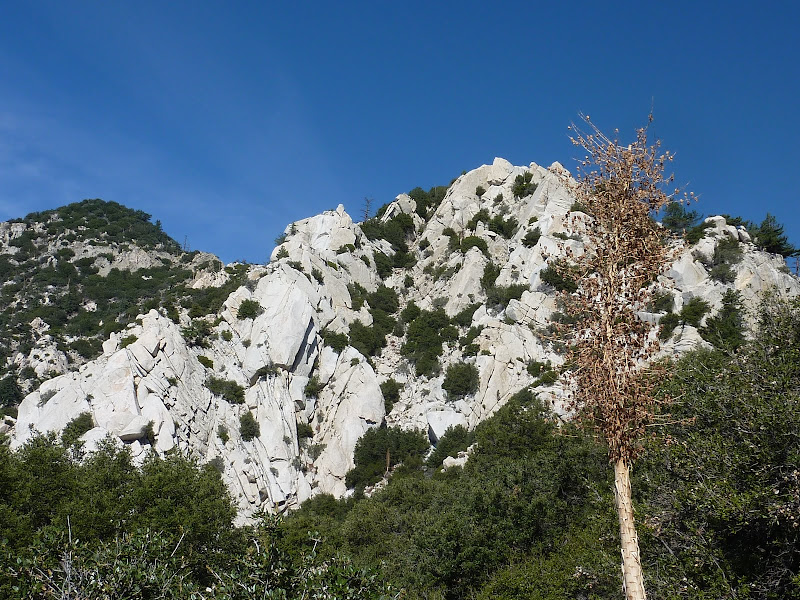
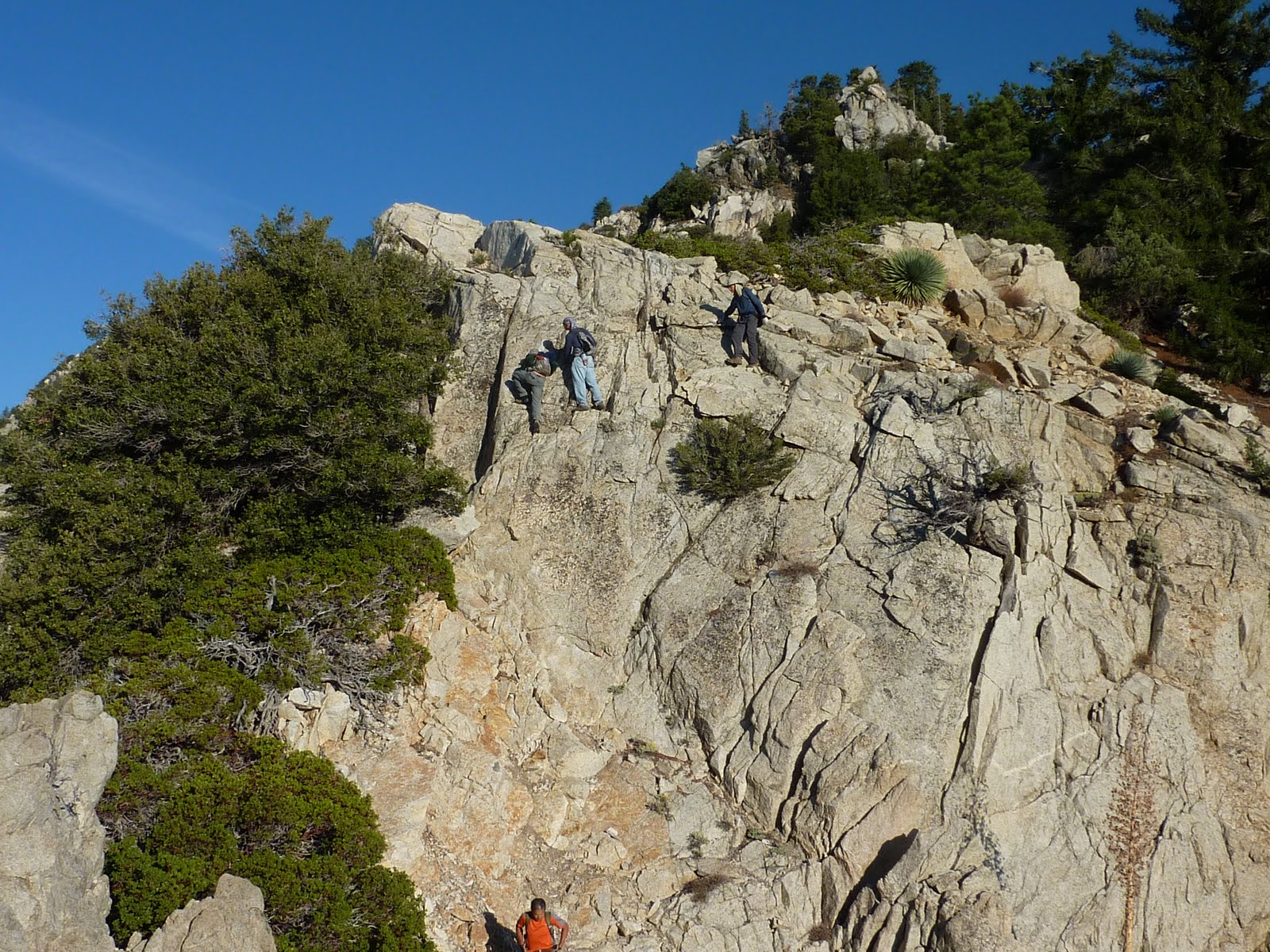
The first part of the ridge is not "terrible", but just gets increasingly worse as you go. Soon you are bouldering, and it gets steeper, looser, and more brushy.
Just a bit before the "halfway point" of 6834', is a short downclimb on solid rock:

There are no breaks on this ridge. You are either 1) scrambling / climbing rocks 2) negotiating steep & loose dirt on the side of the ridge or 3) fighting through brush. It's like that the entire way.
As we moved along, I noticed our collective pace wasn't as good as it was last time. Frankly, it wasn't going to cut it. We didn't know how long it would take to go from 6834' to Triplet Rocks - definitely a few hours to put the total time at ~ 6.5 hours. And since it would take longer on the way back, we'd start making the day really long if it took even longer to get there. Selfishly, I began waiting less and continuing on more. I figured I could "direct" if I saw a good path and such, but really up to the bump at 6300' there are multiple ways to go. Sometimes you stay on the ridge, sometimes you have to drop down on one side, sometimes you have a choice.
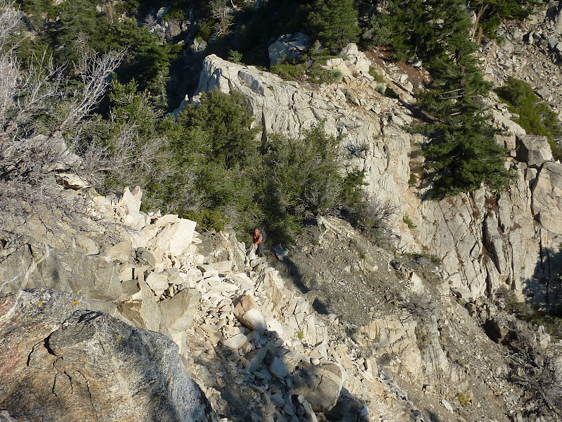
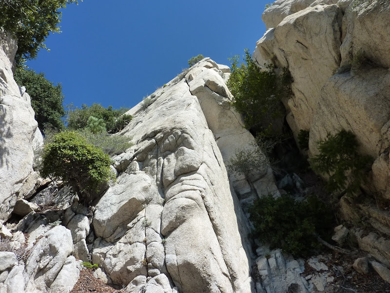
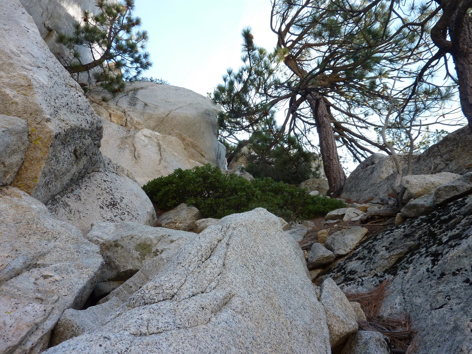
I downclimbed a tough part right at 6300' and looked again and realized I'd reach the class 5 stuff and should find the gully to the south. I found a small slot with a tree in it that connected with the main gully. I used the tree as leverage to drop down.
View right before dropping down:
The gully:
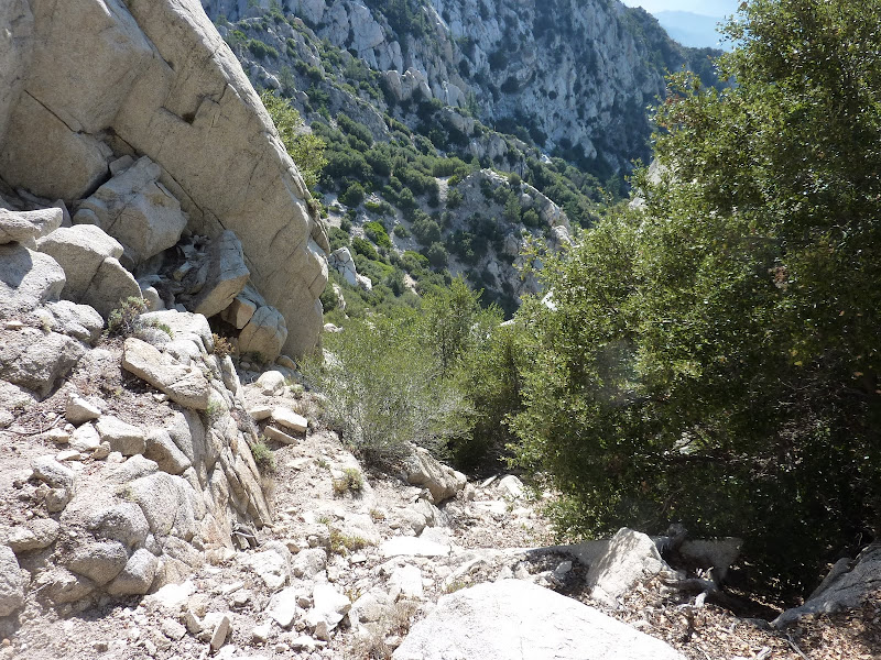
There was definite brush in the gully, but I guess I was prepared with long sleeves and gloves, and have had considerable "brush skills" developed from previous hikes. This gully, as in other places on the ridge, requires you to not only get around / through the brush, but use the brush as leverage when climbing down or up. Or climbing over the brush. I like to call it all "brush climbing".
Once I got down the gully, I could see I was getting closer
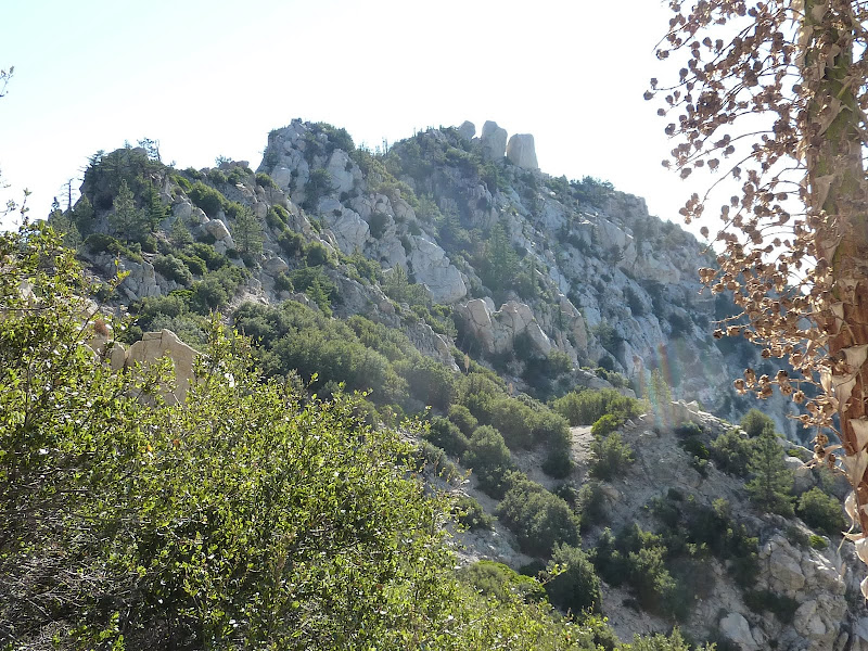

As you can see, there are multiple ridge spurs that you have to cross before getting to the base of the final climb up to Triplet. A little prior Google Earth recon helped a lot here - instead of trying to climb back up to the ridge, I traversed across to hit points on the spurs that were more easily passable (either by rock or brush).
It was starting to look good
Looking back at the gully, I saw David stating just to the right of the start of the gully, in the same place where I was before dropping down. I shouted and pointed for him to go down the gully (it's really the only possible way), but I think he was waiting for the others to catch up before heading down. I waited for a bit, then decided to continue on.
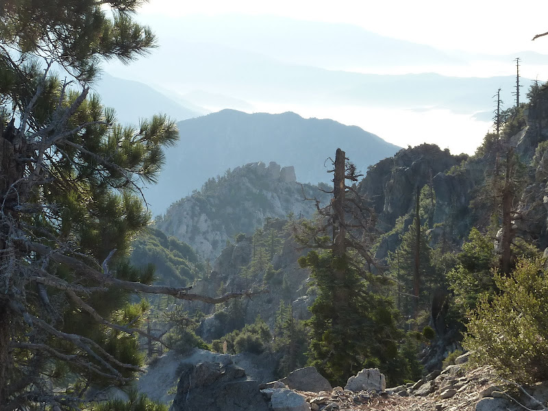
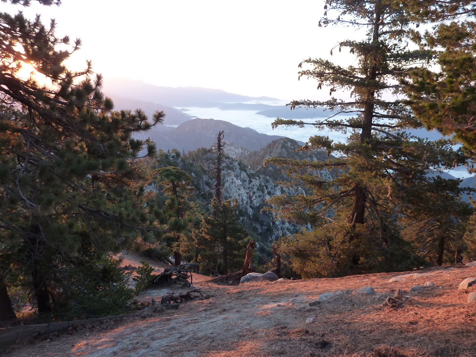
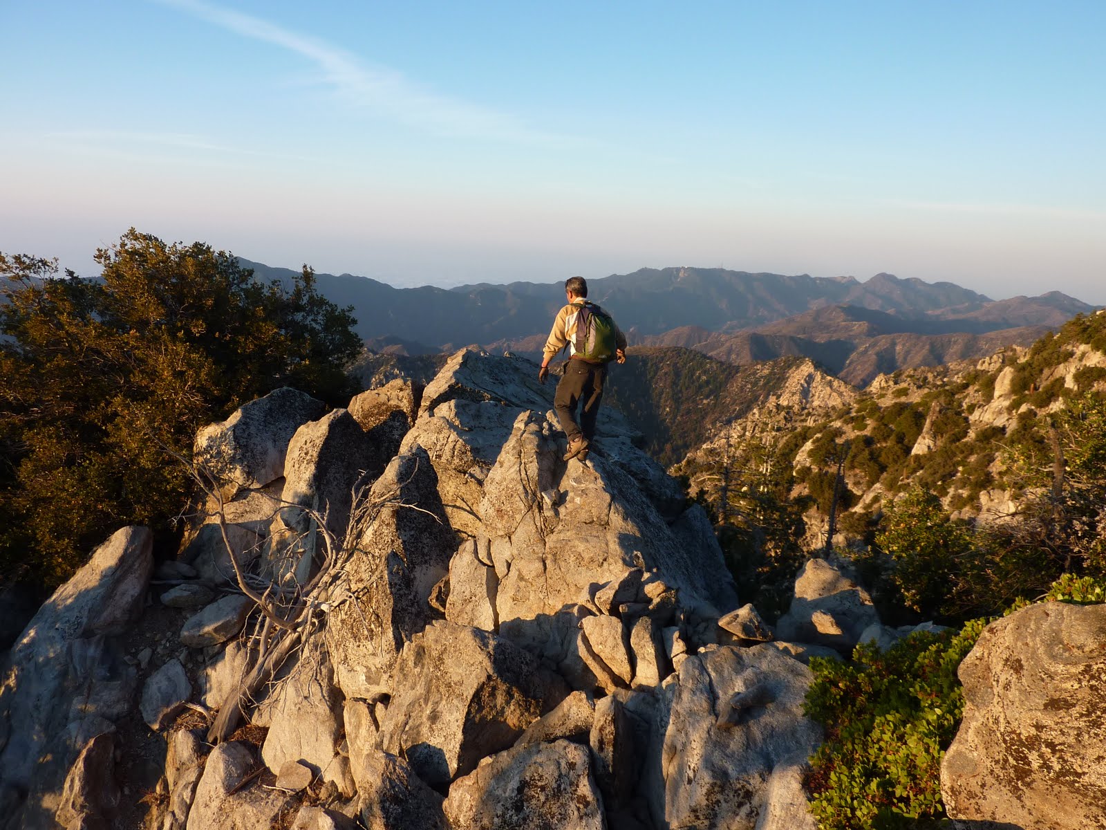
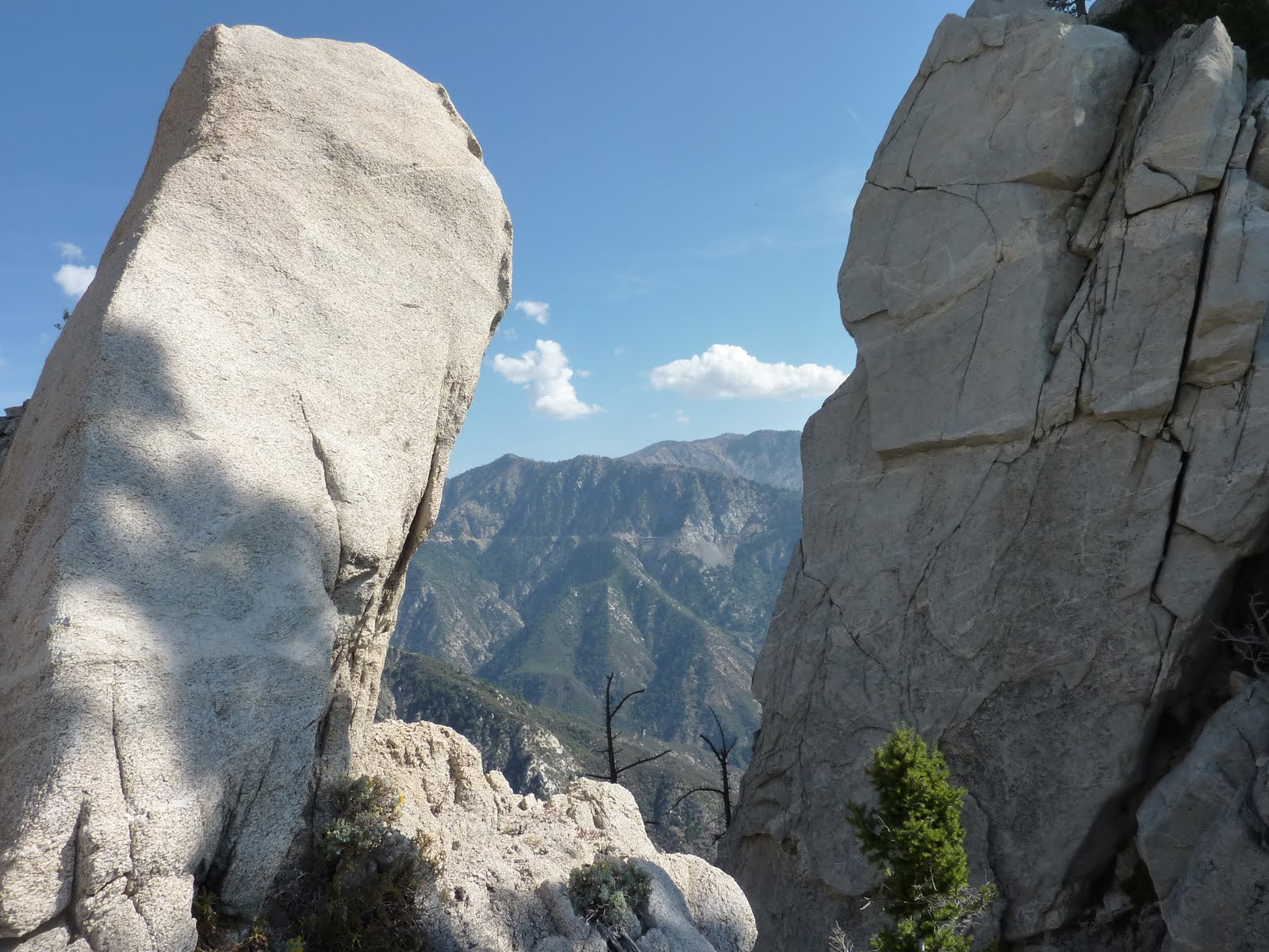
Finally, I reached a saddle which offered cool views and began the final, nice climb up to Triplet.
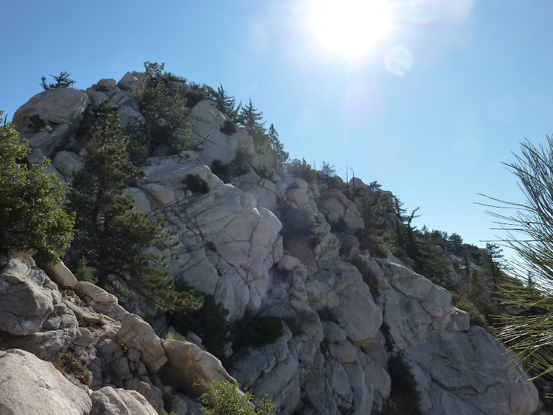

From this saddle I climbed up and followed the ridgeline until I reach those illusive rocks.

A short friction move brought me to the top. Finally!

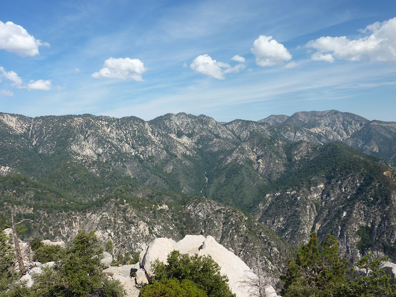
Great views from the top. Definitely a unique place. Lots of big boulders and pine trees too. Odd juxtaposition given the brush not too far away.

At this point, the others were at the top of the gully. David had started down, but turned around while the others were not up for trying. Frankly, it would have taken too much time, adding on at least 2 more hours to the day. I feel somewhat selfish for moving ahead, but I'm not sure any of us would have made it had I stayed back. They turned around then I started heading back - realizing that even more work was needed for the return.
Oh, and this hike makes you work. I was breathing a lot more than I normally would be when doing "downhill". As soon as I started climbing back up the gully, I was feeling really zapped. Even my arms were getting tired! Not only is this ridge a lot more elevation gain / loss than predicted (because you are going up and down a lot more than a topo shows), so much is little bursts of movement - climbing moves, brush moves, scree slopes. I might have been more fatigued then than anytime before, maybe even more than Snow Creek.
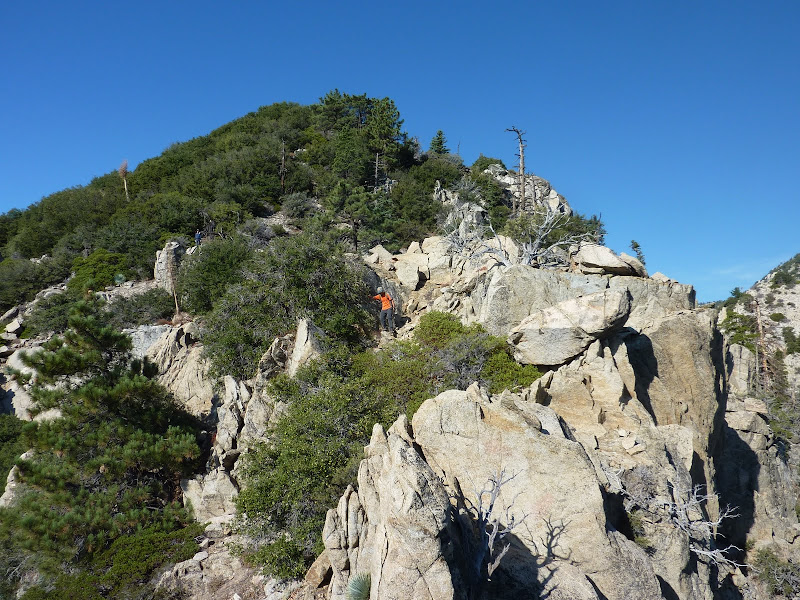
I eventually met back up with the group and we headed back up slowly. We all took more time, especially on the rock scrambling sections. The climbing around 6834' was pretty annoying - there may be a way to avoid it so I'd try to look for that route if you ever go.
We finally got back to East Twin and then were basically home free. Took 15 hours total. And for a lot of people its going to take more than that. What a day.
Right now, I can't imagine a harder route. There's no ridge traverse of 3 miles of pure brutality that you have to do twice! You have to have climbing, brush, and steep slope skills to pull it off. Not to mention conditioning. But the result is making it to a very cool place that few have gone. In fact, I was the first entry since LD placed a register on top over two years ago.
To me, this hike defines the San Gabriels. It starts you in one of the coolest areas - Buckhorn / Waterman / Twin Peaks, and takes you on a ride through the climbing, brush, and steepness that defines this mountain range. I think its the crown jewel. But I'm also a little masochistic.
|


Comments
Post a Comment