
|
|
Mountain/Rock |
|---|---|
|
|
42.65455°N / 0.54485°E |
|
|
Mountaineering |
|
|
8304 ft / 2531 m |
|
|
Overview
The Tuca del Dalliu or Pico de Estos is located north of Benasque in the Huesca region of Spain and is contained within the National ParkGeographically it is situated within a triangle of the valleys Estos, Benas and Literola. It is a mountain that can be ascended by walking depending on the weather conditions. From the summit there is an uninterupted view of three important mountain groups. To the east lies the Maladeta / Aneto group, to the northwest the Perdiguero group and to the west, Posets. It is probably the best spot in the region for seeing so many 3000 metre peaks.
To the south of the peak in clear view are the towns of Benasque and Cerler and to the north France.
Access to the mountain via Literola
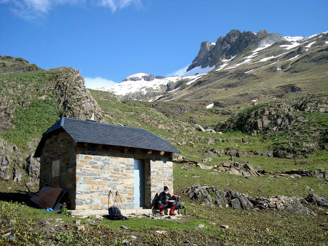
This cabin is situated in the Ball de Literola
To obtain details of getting to the area, see the main Pirineos - Benasque page.
To reach the summit there are two straightforward routes, one from the Literola valley and the other from the Estos valley.
The route via the Literola is clearly waymarked from the Puente de Literola on the A-139 road running north out of Benasque. There is space by the roadside for car parking although the area is subject to the risk of falling rocks!
The marked trail follows the valley to the west until a small cabin is encountered (Cabaña del Ubago). At this point, it is possible to continue the trail to the Collado Ubago for an ascent on Peridguero.
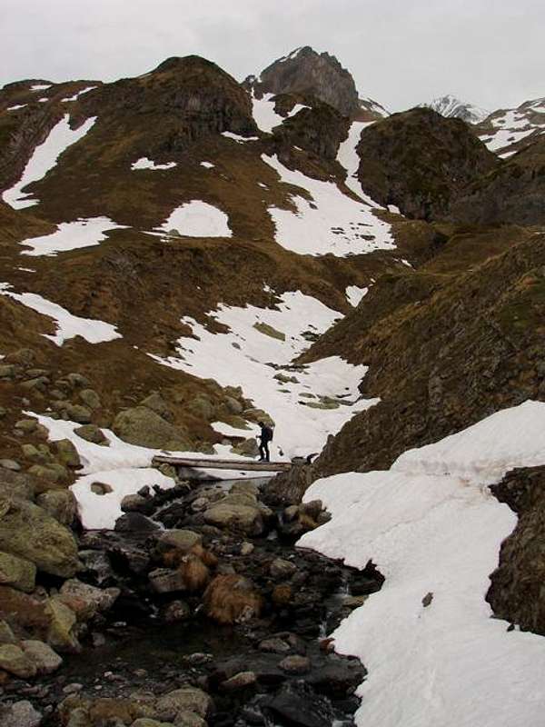
Crossing the stream
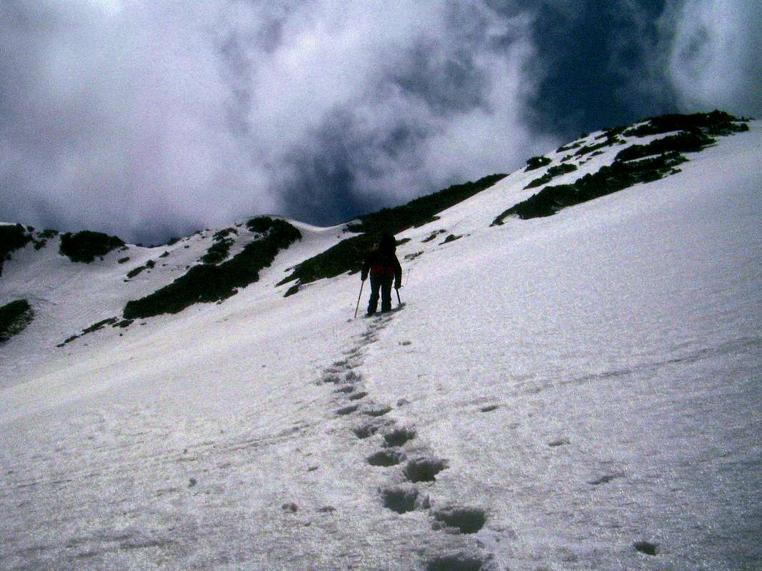
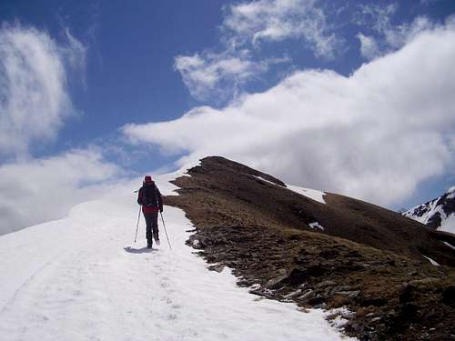
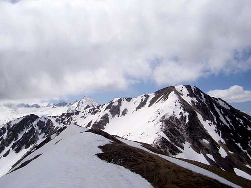
Deep snow below Dalliu's summit.
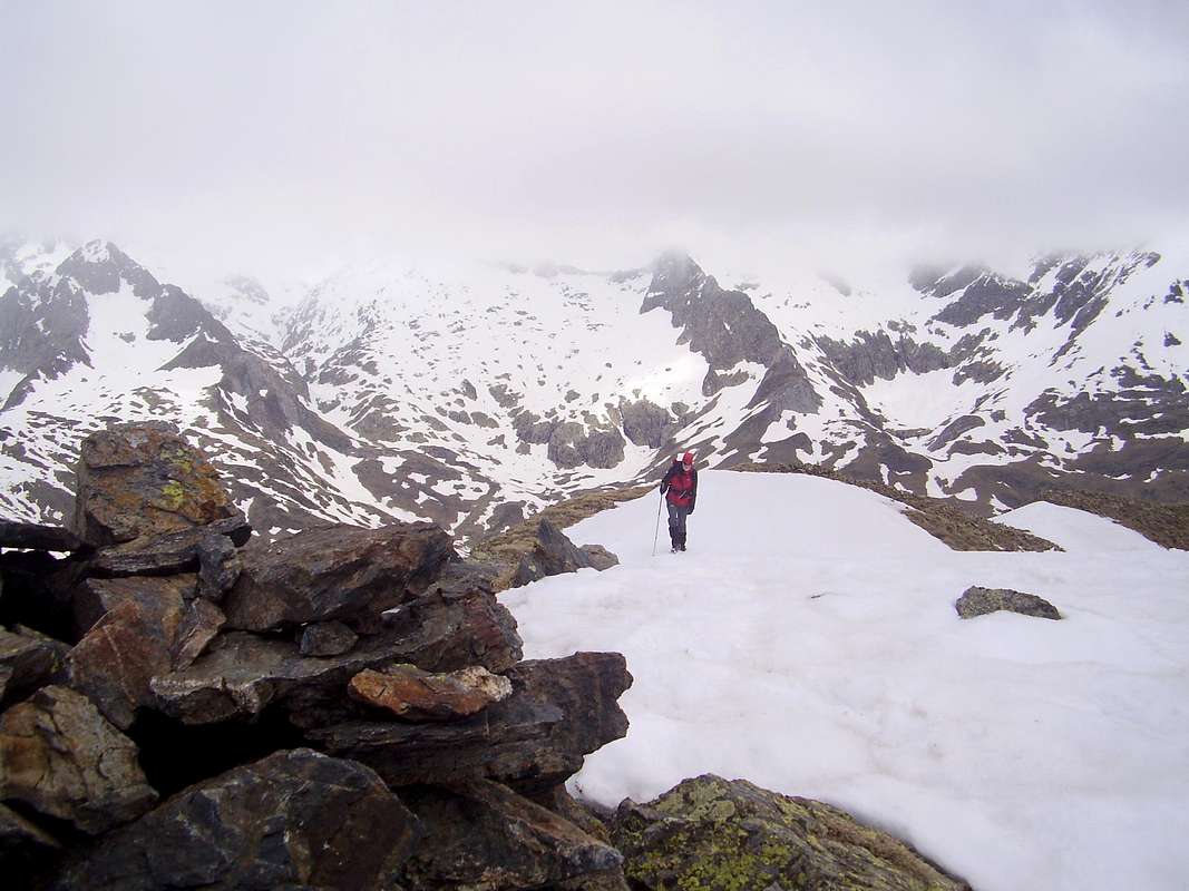
Ken moves across the final snow slope and sees the summit cairn ahead
Turo de Frontonet 2420 metres
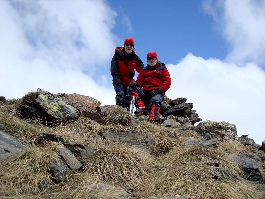
Ken & Johnnie at the summit cairn
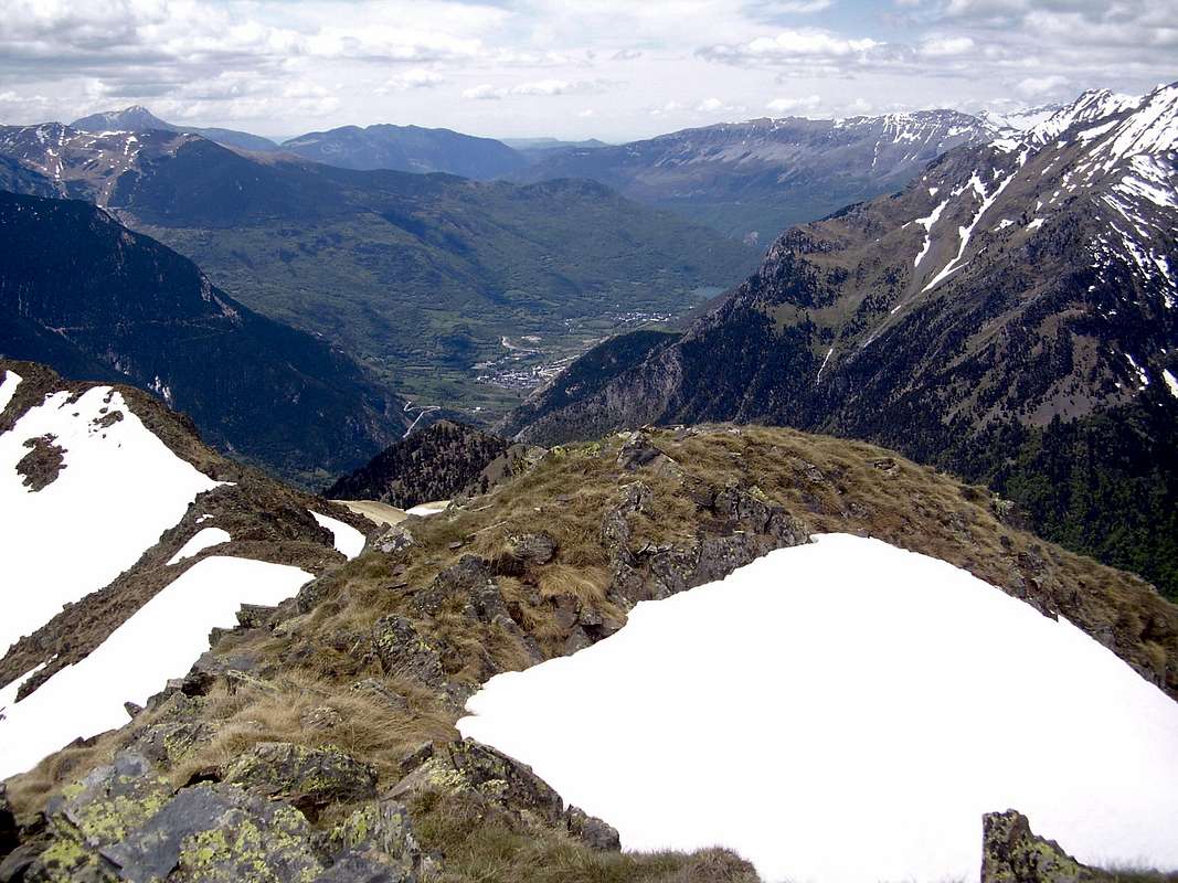
Aerial view of Benasque
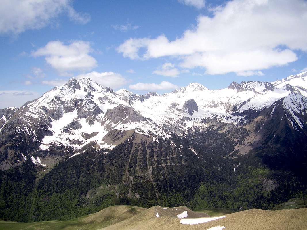
The Maladeta from the summit of Dalliu
Tuca del Dalliu 2531 metres
Access to the mountain via Estos
An alternative ascent can be made from the Ball de Perdiguero in the Estos valley where the trail branches off the PR6 path from the Estos refugio to Benasque. This route is somewhat longer than the Literola trail but convenient if taken from the Estos refugio.Red Tape
There is no red tape but visitors should respect the environment of the National Park and leave no trace of their visit.Camping and Refugios
The Camping Aneto site is close to the Estos and Literola valleys and is ideally suited for access to Tuca del Dalliu. Other sites are also available further down the Esera valley. The Camping Aneto site also has a refugio.Alternative accomodation can be found at the
Refugio de Estos which has a resident guardian and can provide all meals.
Navigation
Map: Editorial Alpina Maladeta - Aneto, Val de Benasque 1:25,000Guide: Walks and Climbs in the Pyrenees by Kev Reynolds - Cicerone Press
Rafa Bartolome - Aug 30, 2010 2:48 pm - Voted 10/10
coordinates of summityou have the summit at South West of the true summit. With the map of google you can change to the evident cone of right side.
DrJonnie - Aug 31, 2010 8:52 am - Hasn't voted
Whoops!Gracias Rafa, voy a cambiar lo. saludos Johnnie