
-
 3363 Hits
-
 83.1% Score
-
 16 Votes
|
|
Route |
|---|---|
|
|
45.33061°N / 7.14318°E |
|
|
Hiking, Mountaineering, Scrambling |
|
|
Summer |
|
|
A long day |
|
|
Alpine F |
|
|
Overview
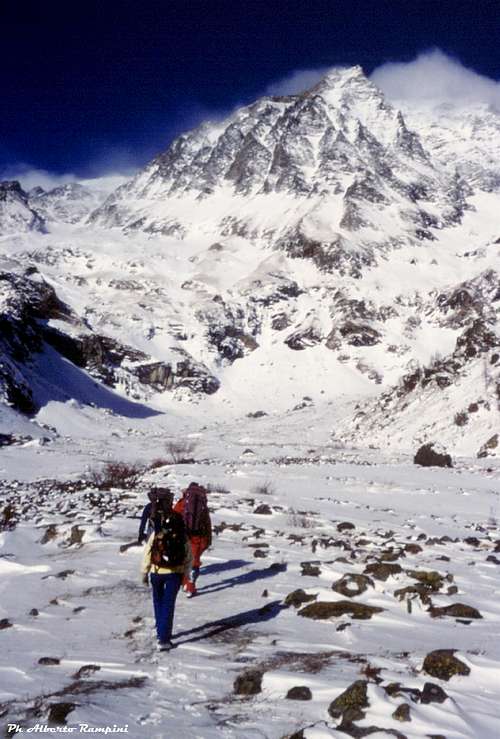
Uja of Ciamarella 3676 m - or more simply Ciamarella - is an imposing mountain located in the Southern Graie Alps and it's the highest peak of the Valli di Lanzo. It's a superb mountain located entirely in Italian territory, in fact the border ridge between Italy and France runs to the West of the summit. It's frequently climbed along its easy Normal route starting from Rifugio Gastaldi. This climbing option involves which involves staying overnight at the refuge.
It will be here described the direct variant, following straightly the Canalone delle Capre starting from Pian de la Mussa and joining the previous route in the upper part. A good alternative, quite easy, allowing to reach the summit in one day climb. Obviously it involves a great difference in level, about 1800 meters, so it's less frequented that the Normal route.

|
|
Getting There
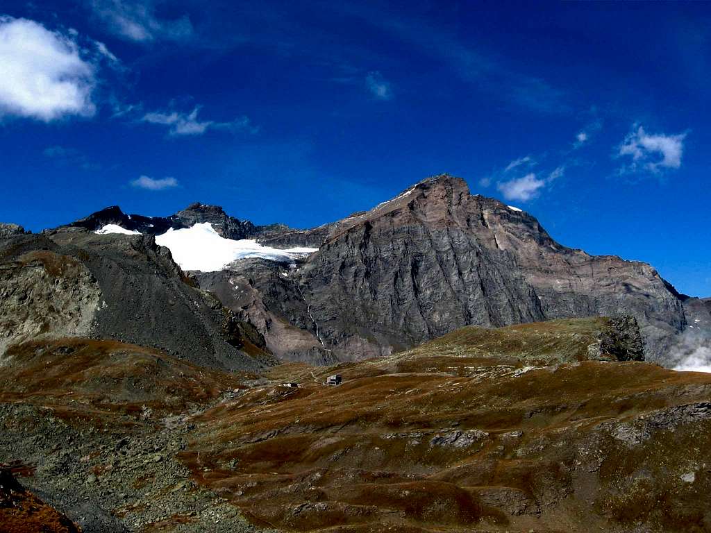
The starting point to climb Uja di Ciamarella is Pian della Mussa, located beyond the small village of Balme m. 1432 (TO).
From Torino take the exit Borgaro Venaria, then follow the road towards Valli di Lanzo reaching Lanzo Torinese. Here continue to Ceres and enter Val d'Ala, reaching Ala di Stura, Mondrone and Balme m. 1432. From the village take the road to Pian della Mussa m. 1850, a wide plain where the road ends.
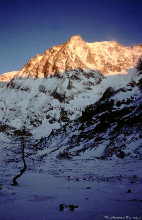
A winter image of Ciamarella |
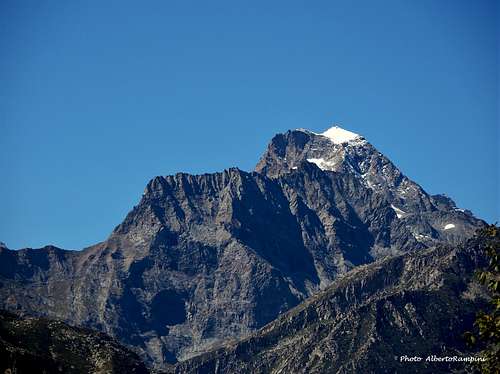
Uja di Ciamarella in fall |
Pian della Mussa in full winter |
Route Description
Uja di Ciamarella Normal route from Pian della Mussa
Difficulty: Alpine F
Difference in level: 1826 m. from Pian della Mussa (m. 1850)
Exposure: South-East
Time required: from 8 to 9 hours round trip
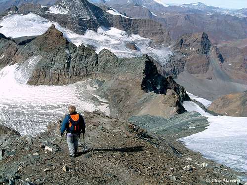
Route description - Cross all Pian della Mussa m. 1850 reaching the Refuge Ciriè. From here head towards the obvious wide gully cutting the rocky barrier supporting Pian della Naressa. Reach Rocca Venoni alp and enter the Canalone delle Capre, starting just near the alp and rising directly and steeply to the wide Pian della Naressa. Follow all Canalone delle Capre and exit left, getting the meadows of Pian della Naressa. Further you meet a fork with signposts. Leave to the left hand the path towards Rifugio Gastaldi and turn to right, taking a path rising with several hairpins to Pian Gias. Cross the plain, then turn to right towards the moraine on the orographic left hand. Continue on steep ground towards the edge of the moraine, getting the surface of Ciamarella Glacier.
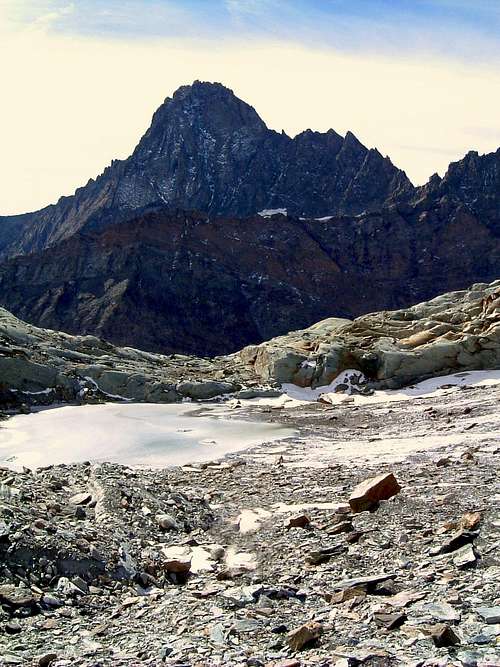
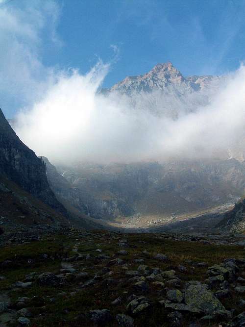
Majestic Bessanese seen from the route |
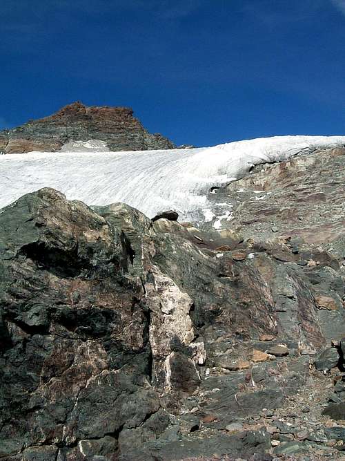
Start of Ciamarella glacier |
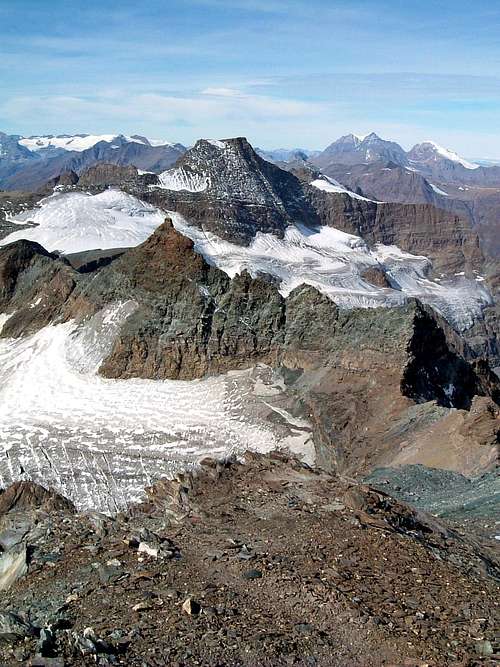
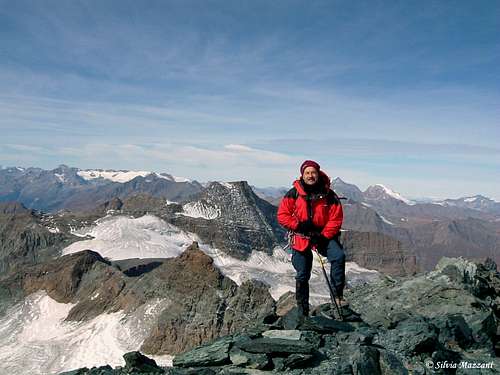
Mighty view from Uja di Ciamarella |
To avoid the most crevassed area of the glacier walk making a semicircle from West towards East, reaching the flat sector of the glacier. Head to right in the direction of the middle of the South-West face of the peak. At first follow steep tracks, then with a long traverse to the left head towards a red pinnacle. Bypass the pinnacle to the left, reaching the West-North-West ridge. Follow briefly this latter reaching the summit.
Descent - follow the same route reaching the signposted path - fork. From here to take it easy after the long climb up it's advisable to follow the normal path descending towards Pian della Mussa instead of Canalone delle Capre.
Essential Gear
Ice-ax, crampons, high mountain boots and clothes
Red Tape
No fees no permits required. Pay the parking toll at Pian della Mussa
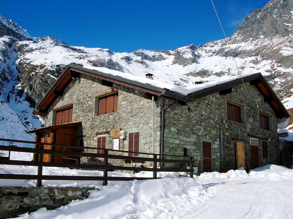
Hut
Season
Best season goes from the end of June to middle October
Biblioghraphy
"Alpi Graie Meridionali" - G. Berutti and L. Fornelli - Collana Guide dei Monti d'Italia CAI-TCI