-
 9599 Hits
-
 85.73% Score
-
 21 Votes
|
|
Mountain/Rock |
|---|---|
|
|
44.34040°N / 15.47480°E |
|
|
Velebit |
|
|
Trad Climbing, Sport Climbing |
|
|
Spring, Summer, Fall, Winter |
|
|
1834 ft / 559 m |
|
|
Overview
Veliki Čuk
The superb rocky garden of Velika Paklenica is situated in the Dinaric Alps, Velebit Group, and it’s rising from the Adriatic sea towards Vaganski 1757 m.
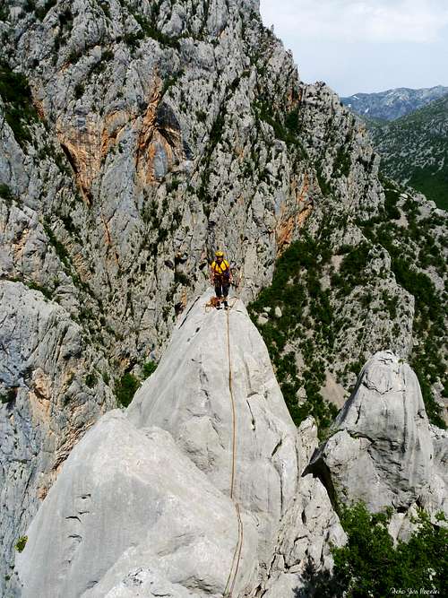
This area consists of two valleys: the longitudinal valley is running parallel to the Velebit chain from NW to SE, while the transverse one is running from East to West, as a deep cut between the high faces of Debeli kuk and Aniča kuk. This interesting climbing area, one of the most attractive in Croatia, is lying just close to the sea in the first section of the transverse valley. Here cliffs and peaks are built by an extraordinary Triassic limestone.
The main Velika (Great) Paklenica canyon is running side by side to the smaller canyon named Mala (Little) Paklenica, lying to the South of Velika Paklenica, where climbing is not allowed. The summit of Veliki Čuk is rising above the left orographic bank of Velika Paklenica creek – the right side of the gorge named Klanci - between Aniča kuk on the left and Mali Čuk on the right, just in front of the impressive and mighty pillar of Debeli Čuk.
The peak has a complex structure, showing ridges, chimneys and pillars; the rock surface is divided into three main sectors: the North Face, the NW face and the West face.
Getting There
Road Approach
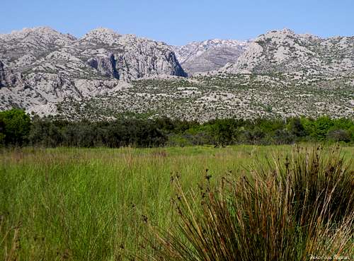
The canyon of Velika Paklenica is very close to Starigrad (40 km. from Zadar), a village lying on the Dalmatian coast, just at the entrance of the canyon. A narrow asphalt road is starting in Starigrad from the main coastal road and getting the ancient traditional village of Marasovici; besides this ancient settlement are lying the first parking-area and the small Paklenica National Park office (tickets and info). You must stop at the bar closing the route to buy the entrance ticket. After 2 km. the narrow road ends to the last parking area, just at the start of Klanci canyon.
There are two options to get to Starigrad from Italy, Austria or Slovenia:
- the coastal road starting from Rijeka and running along the Adriatic coast, shorter and panoramic but having often an intense traffic (180 km. from Rijeka to Starigrad)
- the new Motorway connecting both Rijeka and Zagreb to Starigrad via Bosilijevo, exit Maslenica (junction with the coastal road), which allows to cross and see the wild and extensive forests - populated by the bear - lying in the inland. Longer but faster. Walking Approach
From the upper parking area, lying about 2 km. besides the Park entrance, follow the large paved path running through the narrow Klanci Valley towards the Aniča Luka, the meadows at the bottom of the NW face of Aniča kuk. Veliki Čuk West face routes are lying just in front of the impressive yellow and grey pillar of Debeli Čuk (on the left of the canyon).
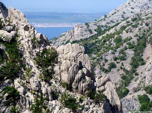
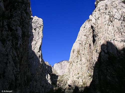
To get this sector you must leave the main path before the bridges and cross the creek: the starting points of the routes are situated just on the opposite river bank. 10 minutes from the upper parking. To approach the North and North West faces continue on the main path for a few minutes, getting the second bridge; here leave the main path and turn to right (signpost Veliki Čuk), rising along the scree. Getting to the first fork, turn to right, scramble on to a rocky notch (fixed ropes) and descent on the opposite side. 30 minutes from the upper parking.
Veliki Čuk routes
Veliki Čuk routes (French scale)
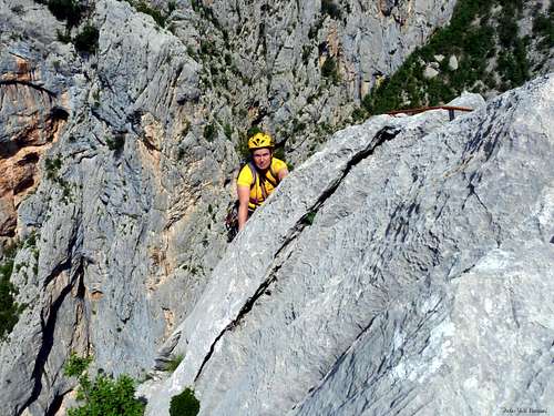
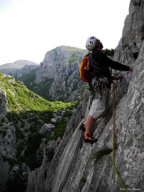
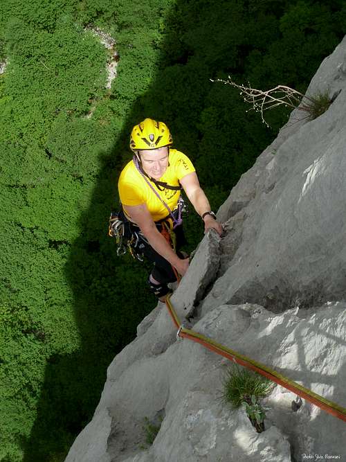
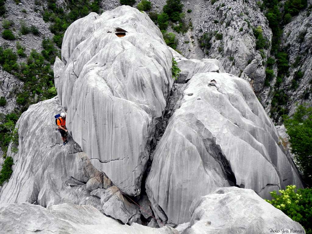
As many other peaks and cliffs lying in Velika Paklenica, Veliki Čuk is built by an excellent and often surprising kind of limestone, very compact and sometimes quite sharp, having a karst origin and showing incredible rock formations: smooth “tobogas” incised by sharp crests, caves, deep pockets, small cutting handholds and surprising cracks; on this peak there are several routes of various difficulty, the majority of which with low and moderate grades, but also some technical routes, all developing themselves on incredible rock formations.
- North and North West faces
- Bijela Rampa 3, 130 m.
- Sjeverni greben 3+, 170 m.
- Sjeverno rebro 4b, 170 m.
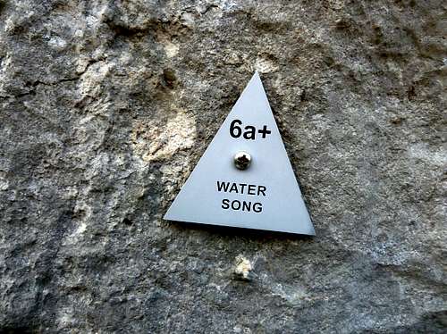
- Water song 6a+, 160 m.
- Water song variant Sjeverno rebro 5c, 160 m.
- Izgubljena djeca 6a+, 170 m.
- Zimski cvijet 6a+, 210 m.
- Centralni kamin 5a, 180 m.
- Barba Antin 5a, 170 m.
- Kanjonski 3+, 300 m.
- Paparazzi 6b+, 300 m.
West face
- Karamara sweet temptations 6a+, 110 m.
- Gospodari kiše 6a+, 120 m.
- Circus 6a, 350 m.
About climbing and equipment of the routes
1930s are the period when it started the rock climbing, but unfortunately it was distressed by an accident, which caused the death of Dragutin Brahm, the Croatian pioneer who tried to climb the mighty NW face of Aniča kuk. The route he attempted, named now Brahm route in his honour, was climbed ten years later. The high number of routes nowadays existing is the result of an intense activity mainly done by climbers coming from various countries: Croatian, Slovenian, Italian, Swiss and Austrian climbers starting from the 60s. This is the reason of a few differences in the grades. Realizing new routes and re-equipping the old ones needs a permit delivered by the National Park management; all the climbing activities are controlled by the supervisors appointed by the management. In the whole park there are innumerable routes of different difficulty and length, from the single pitch routes (mainly in the first section of the canyon, named Klanci) to the multipitch routes. The routes show different equipments: the old ones are equipped with pegs, but some of those have been re-equipped, while the recent ones are equipped with bolts. It’s always recommended to bring a set of friends, nuts and slings.
Red Tape
The area of Paklenica shows a magnificent karst scenery with various surprising geological formations, beautiful flora and fauna; due to this reason, on October 19th 1949 this area was declared a National Park, named PNP - Paklenica Nacionalni Parc, one of the most important in Croatia, which management is situated in the village of Starigrad.
The whole Velebit region was proclaimed a Biogenetic Reserve by UNESCO on February 10th 1978. The access in regulated and an entrance fee is due. A 1 day, 3 days and 5 days tickets are available for climbers. Climbing is not allowed in all the smaller canyon of Mala Paklenica and in some sectors of Velika Paklenica; on the contrary hiking doesn’t suffer any restriction. Free camping is not allowed. Please respect the National parks rules.

Nature and climate


There are several differences in the climate of this region, due to the extension of the area from the higher mountains of Velebit to the lower peaks lying close to the Adriatic Sea. Continental and Mediterranean climate clash each other and PNP is particularly rich in flora (about 800 plant species, 40 of which endemic) and fauna just for this reason.


When to climb
It’s possible to climb all year round, but the most agreeable periods to climb in Paklenica are surely spring and fall. In summer it can be hot and it needs to climb on shady faces, but nevertheless the site is frequented by a lot of people, who wish to combine climbing with swimming. Climbing is possible also in winter, but the strong NE winds (the well known “bora”) can sometimes disturb the climb.
Where to stay
Starigrad Paklenica is a well known touristic destination, offering a lot of hotels, bed and breakfast and camping-sites; it’s also easy renting rooms and apartments both in Starigrad and in the close village of Seline.
Guidebooks and maps
“Paklenica“ by Boris Cujic – Editions Astroida, available in the PNP office in Starigrad (150 HRK in 2013)
Meteo
External Links
- Paklenica National Park - Climbing info


