-
 982 Hits
-
 77.48% Score
-
 8 Votes
|
|
Route |
|---|---|
|
|
47.34240°N / 10.87189°E |
|
|
Scrambling |
|
|
Summer, Fall |
|
|
Most of a day |
|
|
off trail scramble up to I / II- |
|
|
I |
|
|
Overview
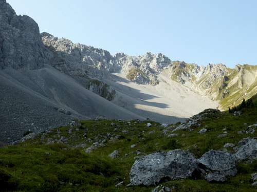
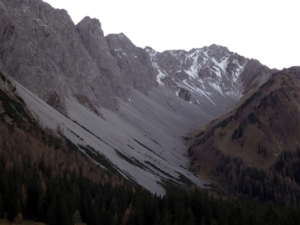
The Bergltal route to Wannig is a interesting hiking and scrambling route for summer and autumn and uses the northeast orientated Bergtal cirque and then the northeast and north ridge to Wannig summit. In parts this route follows the winter ski route. Halfway up the cirque however both routes split and the scramble route goes to the right side of the cirque whereas the ski route goes straight up and uses the northeast summit chute to gain the peak.
The scrambling route is in parts off-trail and requires climbing abilities up to UIAA grade II (one or two moves). Whereas the winter ski route normally is crowded a summer or autumn tour to Wannig on the Bergltal route is a lonely and peaceful outing.
Getting There
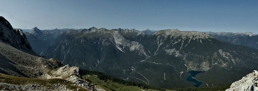
Trailhead is the Weißensee parking area above Biberwier (2, particularly if you combine the route with Bergtal route.). Take route number L71 from Lermoos or L391 from Ehrwald to Biberwier and continue on L71 southbound for 1 km and you reach the parking area on the south side of the road.
Free parking (up to 2020). In summer Weißensee is a beautiful bathing spot!
Route Description
Route overview:
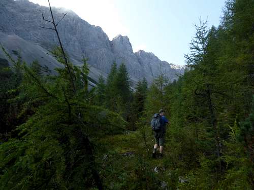
At the east end of the parking area follow a track first to the south then to the east and gain a forest road, which goes up to Sunnalm mountain inn.
Leave the road at the first switchback and follow a trail, the so called Alpsteig. It soon gains a sharp ridge in the woods and follows this ridge straight up, crossing another forest road and a trail junction with another trail to Sunnalm inn.
At about 1620 m height there is another trail junction. Turn right and follow the level trail until you reach the lower end of Bergltal cirque, where the trail bends right and starts to climb.
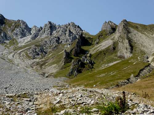
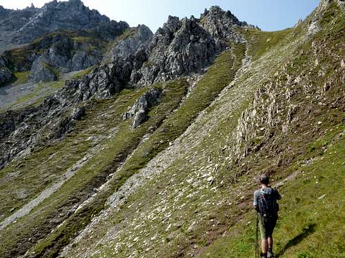
Leave the trail there and follow the valley ground through some dense bushes until vegetation thins out. Follow the meadows on the right side (in the sense of the ascent) of the valley until you reach the middle part of the cirque. There are several water runoffs from melting snow in front of you. Stay on the right rim of these runoffs and climb up to several rock outcrops already visible in front of you.
Reaching the second of these outcrops there are two possibilities to gain the north – northeast ridge of Wannig:
- Use the steep meadow and rock chute between the first and the second outcrop and climb up to a small notch on your left. Descend shortly into the broad chute coming up after the second rock outcrop and zigzag up to the ridge crest, alternatively
- Navigate round the secont outcrop and climb the adjacent chute completely up to the ridge crest.
Its steep off-trail terrain but no real rock scramble so far.
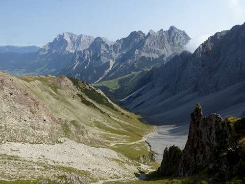
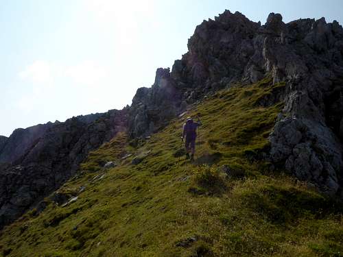
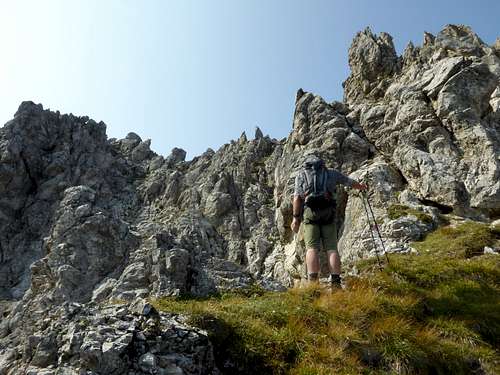
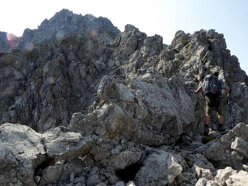
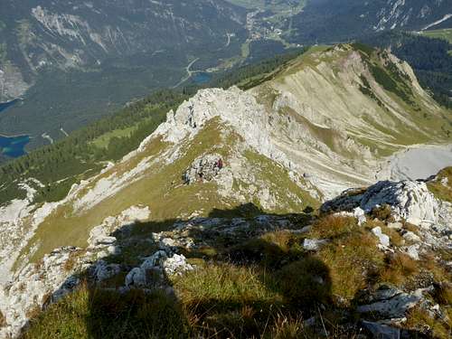
Turn left on the ridge crest and ascend to the rock part of the ridge. There are some cairns marking the best way up. Navigate round the first rocks on their left and regain the ridge over steep but good rocks. Follow the ridge crest over rocks until you reach a meadow section of the ridge.
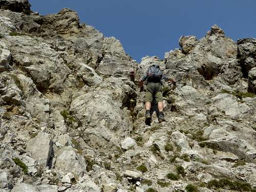
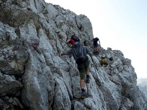
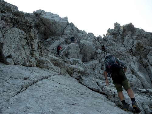
The ridge steepens up there and ends at the huge headwall of Wannig. Climb up to the headwall over scree, talus and some easy rocks. Traverse the headwall on steep but good rocks (UIAA grade I to II) to the upper end of the headwall.
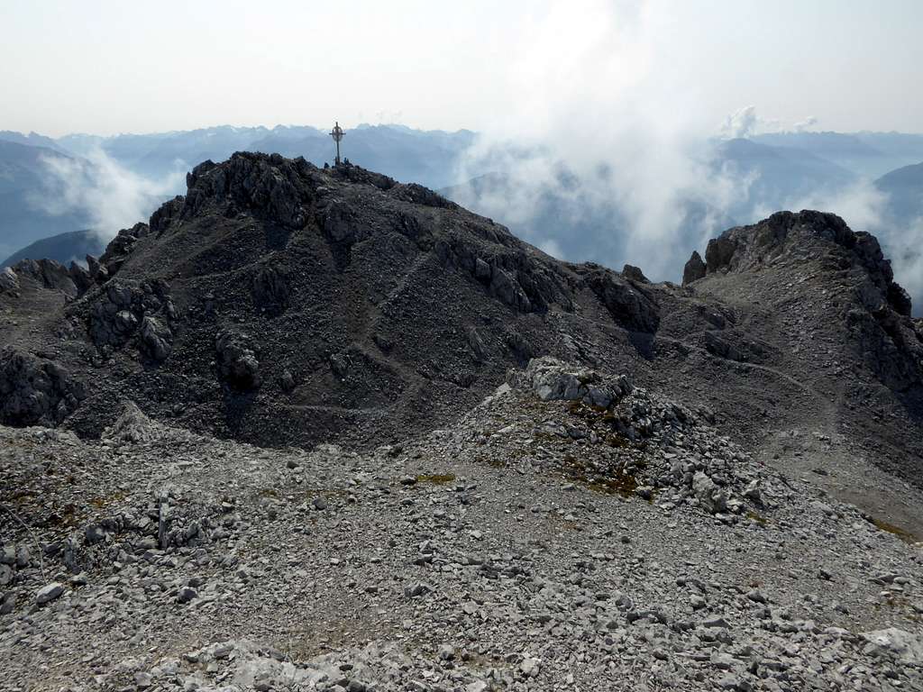
The scene opens up and shows the many rock hills and bumps of the summit area. Follow a track to your left which leads up to the two highest peaks of Hochwannig, the southern one being the cross summit.
Essential Gear & Mountain Condition
From the trailhead to Bergltal cirque you use marked and well maintained mountain trails.
From Bergltal cirque on the route is off-trail and steep.
The ridge is in parts exposed and requires rock scrambling abilities up to UIAA grade I / II.
You need normal hiking gear. A helmet can be useful for the upper scrambling / climbing part. Rope / belay is not necessary if you master garde I / II without problems.
Weather condition Wannig summit:


