
Comments
No comments posted yet.
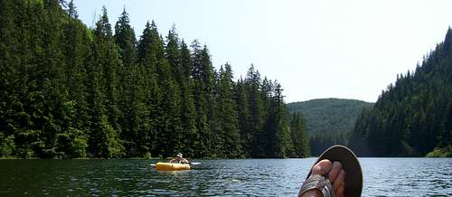
When I woke up Thursday morning, the weather outside showed the telltale signs of the classic Puget Sound temperature inversion - low stratus and fog hanging over Lake Stevens, and a temperature of 37 degrees. Figuring it would be an excellent day to bust out of the inversion layer into some warm mountain air, and inspired by EastKing's recent page, I set my sights on Siberia Mountain. Siberia Mountain is always one of the first high points to melt out in my neck of the woods, so I figured the roads would be suitable for the mountain bike. Sure enough, the warm rains of March had cleared out February's snows, and this ride would prove to be almost snow free. The weather on the Mountain Loop was perfect, and by the time I reached 1000', I was down to shorts and t-shirt. It had been a few years since I had been to Siberia Mountain's southwest summit area, so at 1800', I broke left off the route to the main summit and began heading that way.
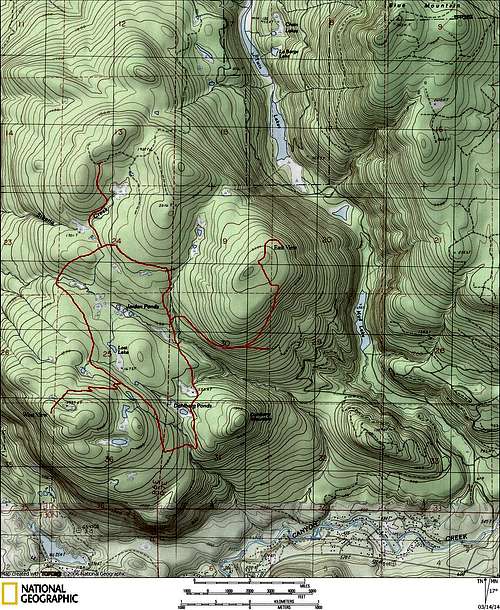
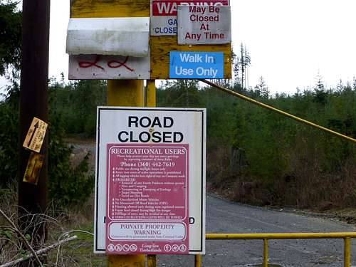
I would like to point out that there are numerous roads heading in all different directions in this area - there is really no 'correct' way to go anywhere (for my ride to the southwest summit, I knew of at least five possible route variations for approaching it). I have included a map below that shows some of the roads in this area, but by no means should this be considered a 'route map'. I would encourage anyone heading into this area for the first time to bring a Google Earth or Google Maps print of the area, as most of the roads in this area are not shown on USGS maps.
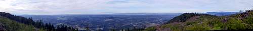
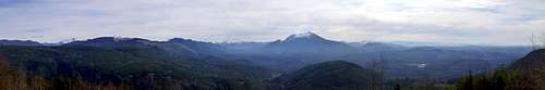
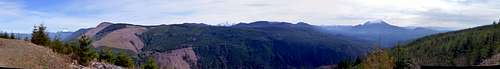
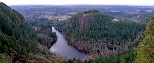
Where you decide to go, and how you decide to get there, is really up to you. I like to explore around on Google Earth a bit before heading to the 'Masonic Park Trailhead'. By looking at the 3D views of the hills, you can pick recently logged areas that appear to have good views, and make a plan for getting there. Or, if you are more adventurous, you can just take off on your bike, make random turns on different roads, and see where they take you. On this particular day, I ended up on a rocky promontory located at N48 08.232 W121 59.550 (Elev. 1990') that provided an expansive west view from Mount Rainier to Mount Baker. Views of the Puget Sound area and South Fork Stilliguamish were very nice from this point.
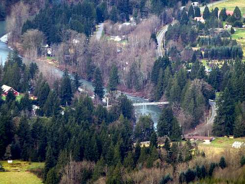
On my way back to the car, I decided to visit Siberia Mountain's main summit area, as it has a nice viewpoint just northeast of the true summit. On the way there, I stopped at the gravel quarry located at about 2000' - here there is a nice view to the southeast.
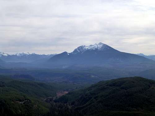
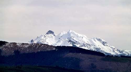
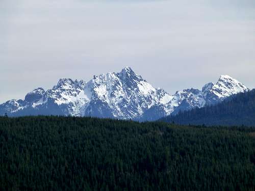
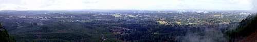
Arriving near the top of Siberia Mountain's main summit, I took the well defined logging spur to the right, which I followed 0.3 miles to the east viewpoint (N48 09.508 W121 56.722 Elev. 2160'). From this point the east view is expansive, from Mount Baker to Mount Rainier.