|
|
Mountain/Rock |
|---|---|
|
|
50.77669°N / 15.56757°E |
|
|
Hiking, Skiing |
|
|
Spring, Summer, Fall, Winter |
|
|
4951 ft / 1509 m |
|
|
Overview
|
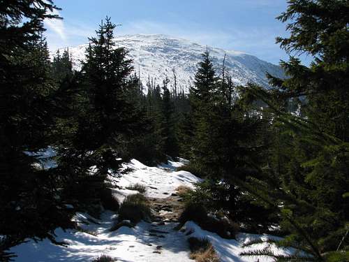
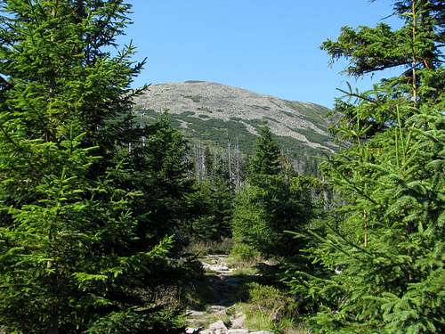
The 1509m summit stands on the main ridge of the Giant Mountains (Karkonosze/Krkonoše/Riesengebirge), which forms part of the southwest boundary of the historic province of Silesia. Before 1938 through the summit ran the border between Germany and Czechoslovakia, and after 1945 between Poland and Czechoslovakia. Since 1993 this border has separated Poland from the Czech Republic. In Poland the summit is known as Wielki Szyszak (Great Helmet), but this name is actually the result of a mistake made by Polish cartographers just after World War II. The Czech name of the mountain, Vysoké kolo, and the German name, Hohes Rad, both translate as High Wheel. The original Great Helmet, that is to say Velky Šišak/Große Sturmhaube, sits just east of Vysoké Kolo/Hohes Rad, at 1424m. Its Polish name is Śmielec. Wielki Szyszak/Vysoké Kolo/Hohes Rad is the fourth highest and the highest granite summit in the Giant Mountains (and in all of the Sudetes). It is the highpoint of the west part of the main ridge of the Giant Mountains, which extends west from the pass named Karkonoska Przełęcz/Slezské sedlo. The prominence of the summit is 331m, which makes it the second most prominent summit in the Giant Mountains. Its top as well as its eastern and northern slopes are covered with a sizable blockfield. The mountain looks best when viewed from the northeast. Seen from the west the summit appears to be just a low, elongated knob, rising a mere few metres above the broad, slightly undulating surface of the main ridge of the mountains.
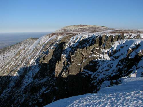
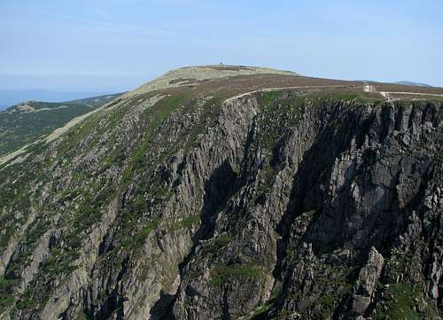
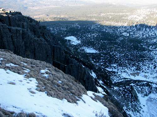
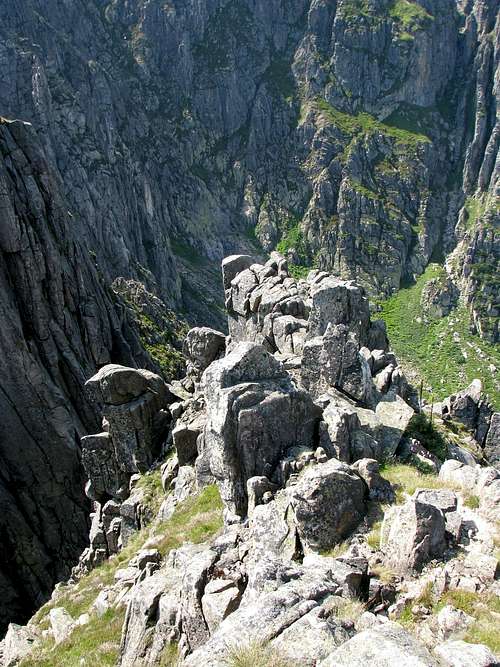
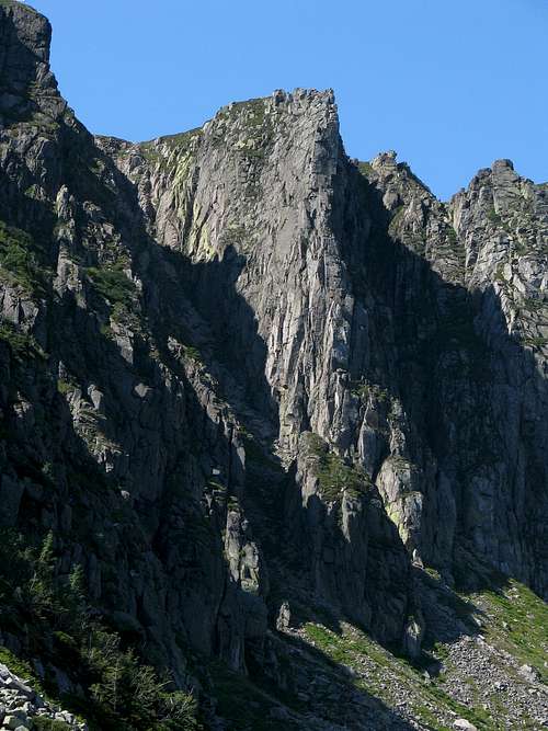
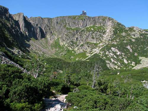
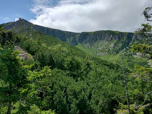
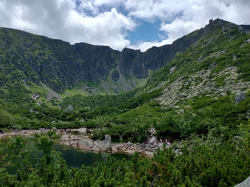
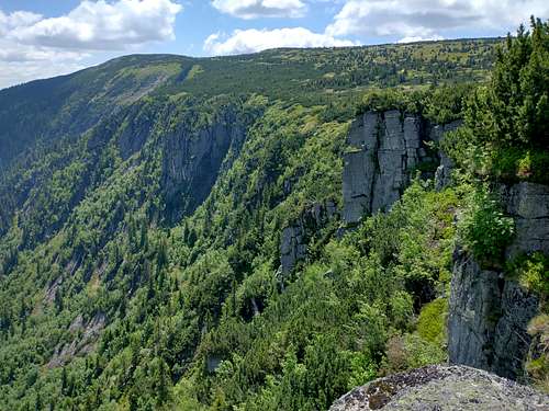
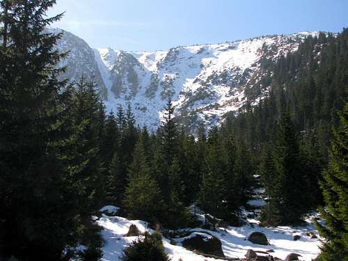
On the very top of Wielki Szyszak/Vysoké kolo/Hohes Rad stands a structure which may appear to be a cairn. In fact, this is the vestige of a monument to William I, emperor of Germany. The monument was erected in 1888 and demolished after World War II. What it looked like can be seen here. Śnieżne KotłyJust west of the summit sits the most beautiful of the few cirques gouged in the Giant Mountains by the glaciers of the Ice Age – Wielki Kocioł Śnieżny, literally Great Snowy Cauldron. On its edge are a couple of vantage points secured with metal railing and a rather ugly building, which used to serve as a tourist hut but now it is closed to the public and houses a radio/TV transmitter. This place at 1497m, whose prominence is 13m, is called Vysoká pláň by Czechs, whereas in Poland it is often referred to as Śnieżne Kotły (literally Snowy Cauldrons), even though Śnieżne Kotły is actually the name for two corries: Wielki Kocioł Śnieżny and Mały Kocioł Śnieżny (Little Snowy Cauldron), adjoining the former on the west. Please see this album. |
Getting There
PolandThe Karkonosze range rises on the south outskirts of the city of Jelenia Góra. My favourite trailhead for Wielki Szyszak and Śnieżne Kotły is at the bus stop/car park called "Dom Hauptmanna" (Hauptmann's House), in front of the house in which Gerhart Hauptman, a renowned German writer and Nobel Prize winner spent the last few years of his life. You can get there on a number 15 bus. (A ride from the main railway station takes less than forty minutes.) From Hauptmann's House it takes about three hours to get to the top of Wielki Szyszak/Śnieżne Kotły. The total elevation gain will be nearly 1000m. If you leave the blue trail at the first trail junction and follow the black trail, you will soon hike along a pleasurable path along Wrzosówka brook leading to Czarny Kocioł Jagniątkowski. Another convenient starting point will be either near the centre of the resort of Szklarska Poręba or at Szklarka Falls (an enclave of the national park), between Szklarska Poręba and Piechowice. However, ascending Wielki Szyszak from the west is nowhere near as fun as an easterly ascent. If you are staying in the hut northwest of Łabski Szczyt (Schronisko pod Łabskim Szczytem), the hike will take just about one hour. CzechiaYou will probably start your hike in the resort of Špindlerův Mlýn. To get there, leave Road I/14 at the town of Vrchlabí and drive north up Road 295 for about ten miles. From Labská bouda Hotel or the hut called Martinova bouda, the hike will take just about one hour. 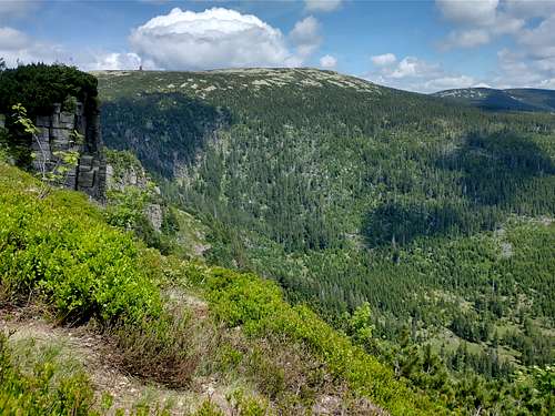
|
Routes
|
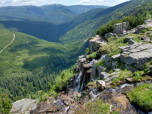
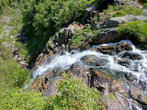
If you do not go in winter, it is a really good idea to combine an ascent of Wielki Szyszak with a visit (via the green trail called “Ścieżka nad Reglami”, i.e. Path Above The Forest Zone) to all three corries nearby. Czarny Kocioł Jagniątkowski can be visited all year round, but the trail running through Śnieżne Kotły is closed until 31 May. At present no waymarked trail leads to the very top of Wielki Szyszak, which means that you are not allowed to get there since the Giant Mountains are a national park. The top of the mountain is protected due to its being a nesting place of some rare species of little birds. The waymarked trail, which is closed for winter, traverses the northern, Polish side of the mountain well below its summit. In winter, you are supposed to follow the traverse of the southern, Czech side of the mountain, which is marked with wooden poles. It is not clear if it is still illegal to summit under winter conditions. The most reasonable way of doing this is to ascend from the east, from the pass between Wielki Szyszak/Vysoké Kolo and Śmielec/Velky Šišak, first along the winter, Czech route, then more or less along the border – most likely along someone else's track. If there is not much snow the zigzagging old trail, laid towards the end of the 19th century, may show in places. To make the most of your hike, you should also visit the waterfalls that plunge into Labský důl, i.e. the uppermost stretch of the Labe (Elbe) Valley, which cradled a sizeable glacier in the Ice Age. The falls are called Labský vodopád and Pančavský vodopád. If you start your hike in Špindlerův Mlýn, picking the trail up the Elbe Valley will be a logical solution. If you are coming from and going back to Poland, you will have to add over 4km to your hike but you will not regret it. From Hauptmann's House (see previous chapter) it will all take over 18km with a total elevation gain of approx. 1200m. |
Maps
Red Tape
The area is part of a national park, or rather two parks: Karkonoski Park Narodowy in Poland and Krkonošský národní park in the Czech Republic. To hike in the Polish part of the park, you will have to pay an entrance fee (an equivalent of approx. 1.8 euros for a day pass in 2022; you can buy the ticket online). You are not allowed to camp/bivouac or stray from the waymarked trails. The trails traverse the sides of the mountain, whose top is specially protected. The main reason seems to be the importance of the site for the breeding of some rare bird species. In winter and early spring the following trails are closed:
- the red trail traversing the north side of Wielki Szyszak/Vysoké kolo (the winter trail, waymarked with wooden poles, traverses the south, Czech side of the mountain)
- the yellow trail traversing the north side of Łabski Szczyt (to get to the hut under Łabski Szczyt from the top of Śnieżne Kotły, walk west along the main ridge and - past Łabski Szczyt - at the trail junction take the right turning marked with wooden poles)
- the green trail running through Mały Kocioł Śnieżny and Wielki Kocioł Śnieżny (closed in winter and 10 April-31 May)
Accommodation
There are plenty of guesthouses and hotels on either side of the Giant Mountains. The nearest mountain huts are located within an hour's walk from the summit:
|
When To Go/Mountain Conditions
- If possible, do not go at a weekend unless you feel like joining the crowds
- Under winter conditions crampons are often a must although they may only be needed in a few places on the approach routes
- Current mountain conditions (in Polish)
- Mountain rescue phone numbers: Poland +48 601100300 Czech Republic +420 1210
- Weather forecast for Špindlerův Mlýn on meteocentrum.cz
- Weather forecast for Szklarska Poręba on AccuWeather
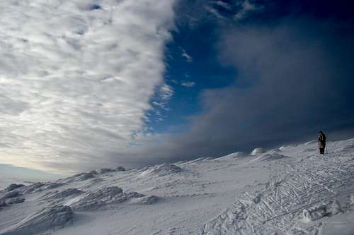 On winter traverse - photo by jandamart

