
|
|
Route |
|---|---|
|
|
48.92820°N / 119.9709°W |
|
|
Hiking |
|
|
Spring, Summer, Fall |
|
|
Half a day |
|
|
Walk Up |
|
|
General Overview
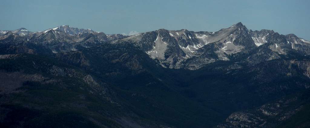
Looking off toward distant Bulgers from Windy Peak
The Washington Bulger List is one of the most grueling list in the entire United States of America. It is a list that is supposed to represent the top 100 peaks in Washington. The list itself is not completely accurate however all the peaks on the list are well worth the climb and all of the peaks have vast views and are well above timberline. Most of these summits are either snow climbs, exposed scrambles or even total rock climbs. Very few climbers ever complete this list due to the hard nature of it. Others have died attempting to complete this list. There is no true easy mountain you can drive to and even the easiest mountain requires an 11 mile; 2700 foot elevation gain round-trip hike.
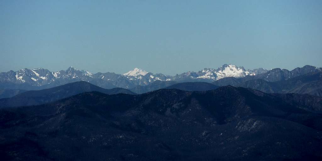
Glacier Peak and distant Bulgers
The Easiest Route of all the Bulgers
"Hey I just want to know the easiest route so you can cut with the dramatics?" This is probably what many of you are thinking.
For those of you looking for the easiest route on the easiest summit of all the Bulgers, this is the route for you. I wrote this page for solely that purpose. This route is basically a walk up all the way the summit and there is no easier route to any Bulger period!!! It may be the easiest but it is still 11 miles and 2700 feet of elevation. The route also goes well above timberline, making the peak vulnerable to serious weather. Only a person or group with strong hiking basics should attempt this route. In other words though it is the easiest route to be done in the Bulgers, the route still should not be taken too lightly.
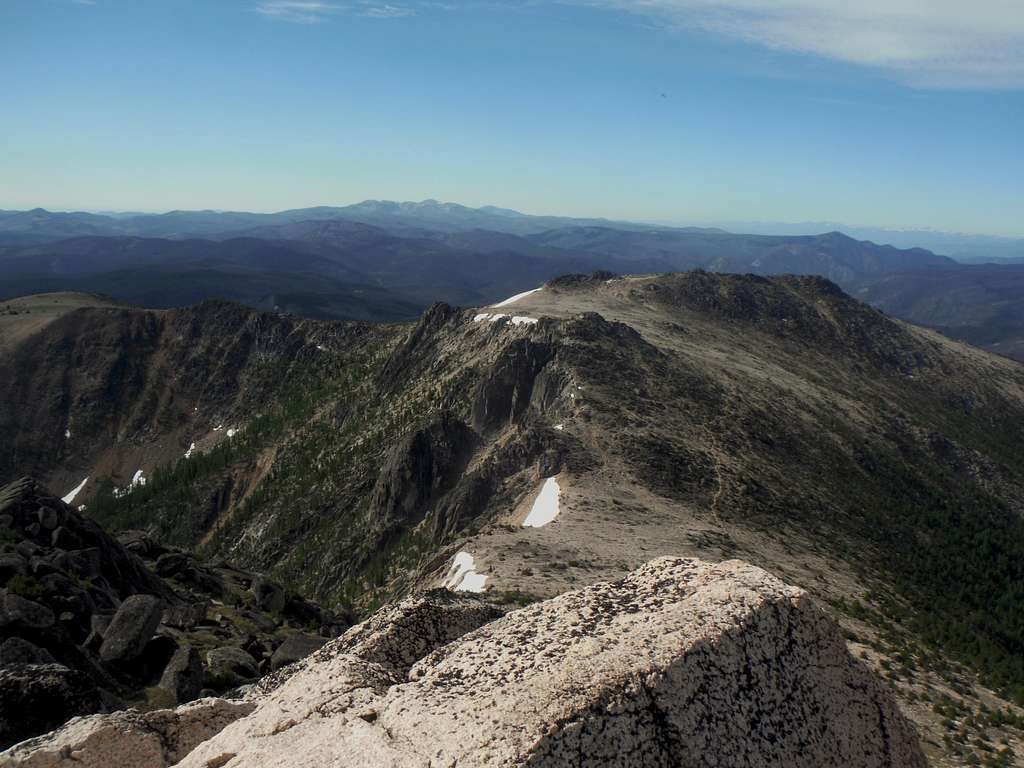
A look down at the second easiest Bulger route in all of the Cascades; The Windy Trail
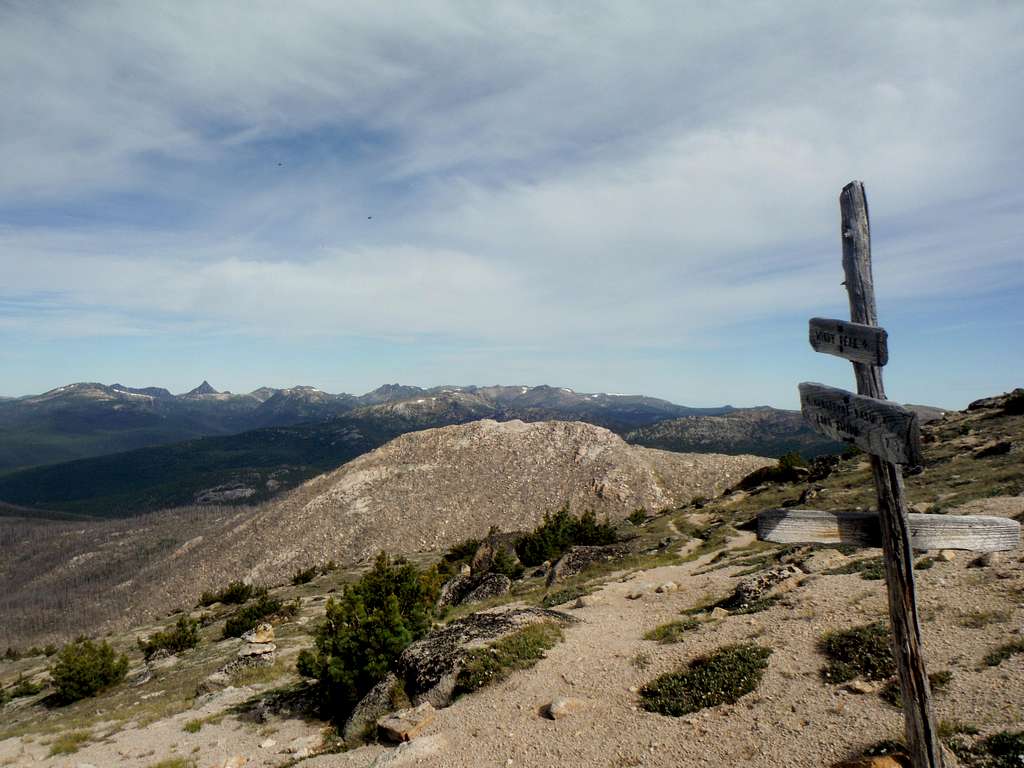
The route or trail is a though beginning to fade out due to lack of popularity and part of the trail up is hard to follow. To some this route is not very scenic due to the fact that the entire way up is in a massive burn scar. Flowers, seedling and shrubs are now covering this scar but the remnants are still very visible all of the way to the timberline of Windy Peak. Above timberline this trail becomes basically sand pretty much to the foot the summit rocks. From there the route just cuts around the summit rocks to the exact summit. Excellent views can be scene in all directions from the summit of Windy Peak making this peak, the easiest of all of the Bulgars, well worthwhile.
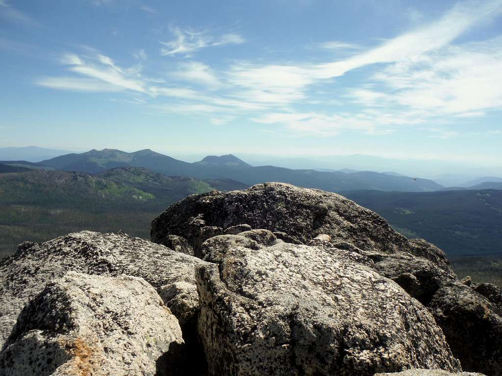
The summit rocks of Windy Peak
Getting There
VIA THE TRAILHEAD: From US-97 in Tonasket take Loomis-Oroville Road and head west. Once north of Loomis make a left on the Toats-Coulee (Route 39) and take this road all the way west to Long Swamp Camp. Veer right on Route 300 3 miles to trailhead which is now located at the end of the road. You will know you are at the correct road because the road is gated and cannot go an further.
Route Description
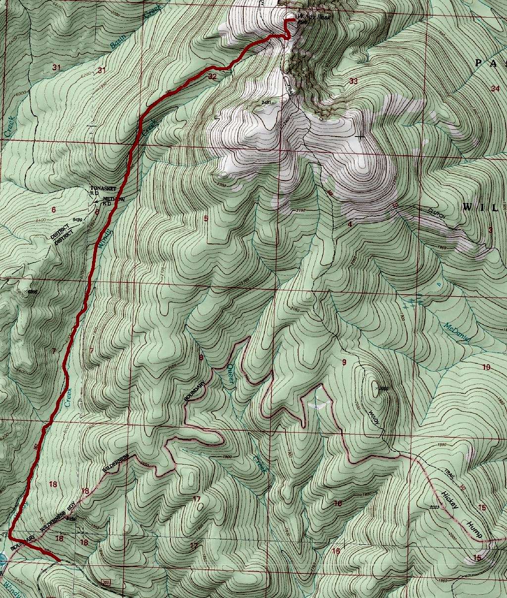
Map of the Route
From the parking area take the Cathedral trail which will lower in elevation for 200 feet in 0.4 miles. Just a couple feet before Windy Creek take the well faded Windy Creek Trail and head up it for 4.6 miles. The trail will go completely through the burn scar caused from the Hickory Hump Fire in August 2001. It will start out at a moderate pitch for the first 0.75 miles before becoming much more gradual as it slowly rises within the Windy Creek valley. This trail in spots can be hard to spot due to its lack of popularity. The trail also goes through a number of swampy areas so prepare to get your shoes wet and muddy in some spots. Water should be plentiful on this trail until mid August in most years.
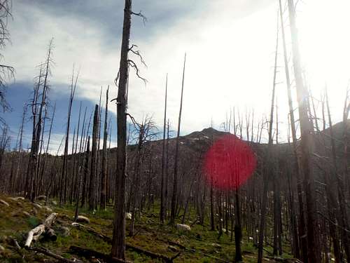
Looking through the burn
When the trail start to get close to the summit area rises out of the creek area and then rises onto a ridge. At this point the trail becomes steeper and much more sandy. Roughly 300 feet below the summit the Windy Creek Trail will then cross the Windy Peak trail with a spur trail that goes all the way to the summit. The last couple feet to the summit are a little rocky but still very easy. Once on top enjoy the vast views from this prominent (1700 ft.) peak.
At a trail junction looking at Topaz
Essential Gear
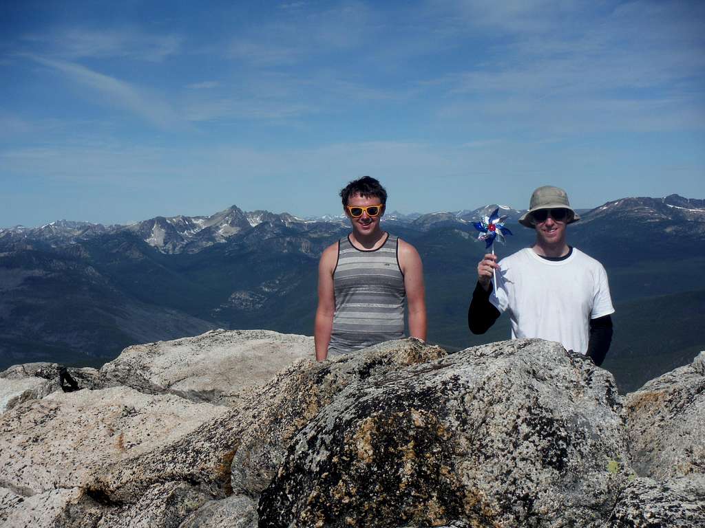
Humor is one of the essentials for this summit