
|
|
Route |
|---|---|
|
|
34.85570°N / 111.7802°W |
|
|
Hiking |
|
|
Spring, Summer, Fall, Winter |
|
|
Half a day |
|
|
Hike |
|
|
Overview
Airport Mesa is a 1.25 mile long by half a mile wide flattop mesa that sits to the south of the town of Sedona rising 500 feet above it. Sedona’s airport has been constructed on top of this mesa. A 3.5 mile long loop trail goes around the periphery of the mesa below its rim providing you with good view of town and the surrounding mountains. The hike as shown on the map below is 5.5 miles long.
Getting There
From the intersection of Route 89A and 179 in Sedona, drive one mile west on Route 89A and take a left (south) onto Airport Road. Drive less than a mile to the top of the mesa. (The attached map shows my hike starting on Shelby Drive near where we had a vacation rental house. No parking is available on Shelby Drive).
Route Description
This description starts on Bandit Trail near Airport Loop Trail.
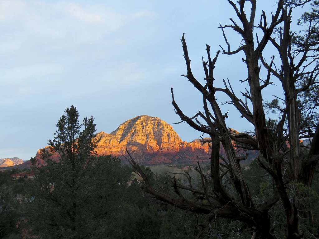
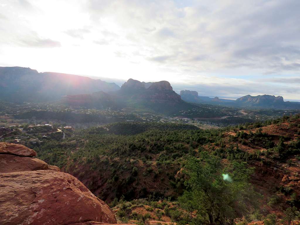
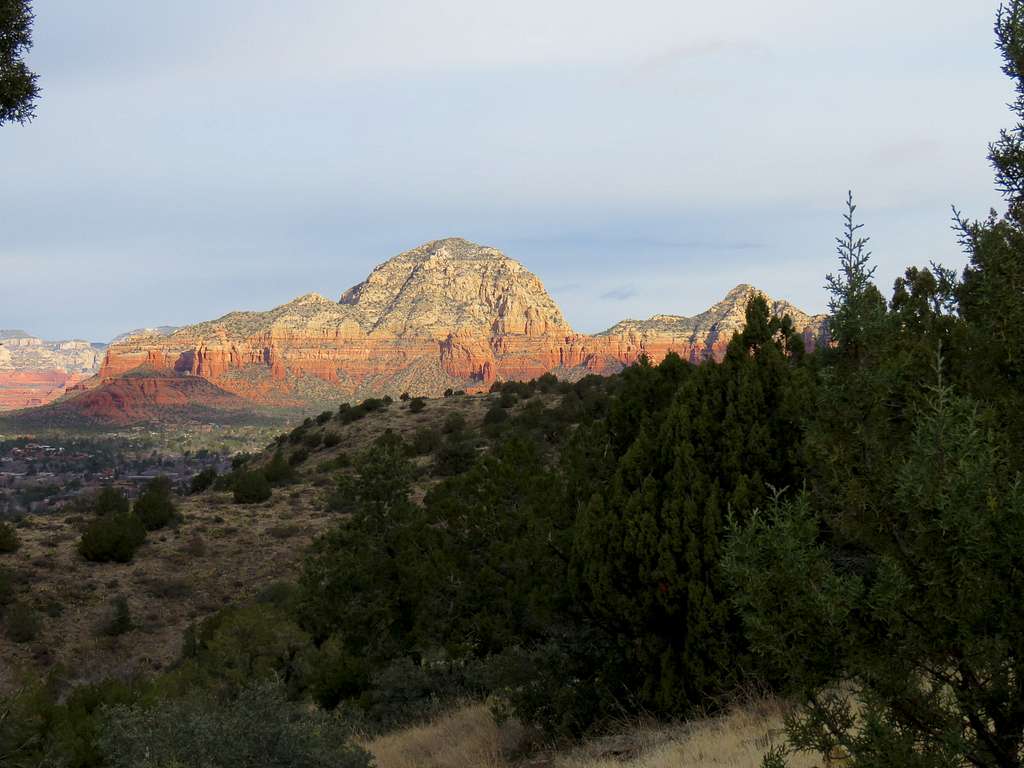
Sunrise on Capitol Butte.
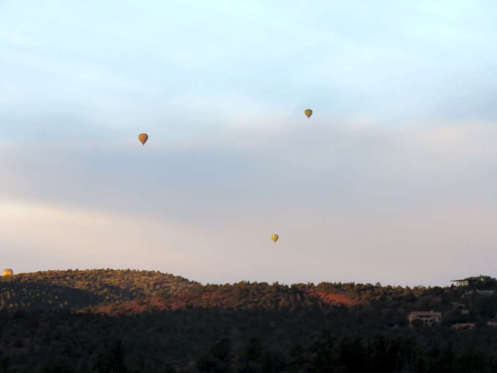
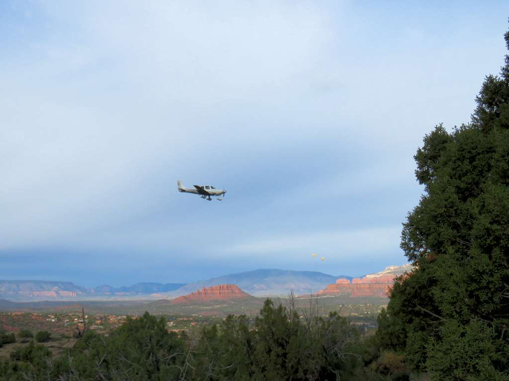
Balloons over Sedona.
Looking toward Boynton Canyon.
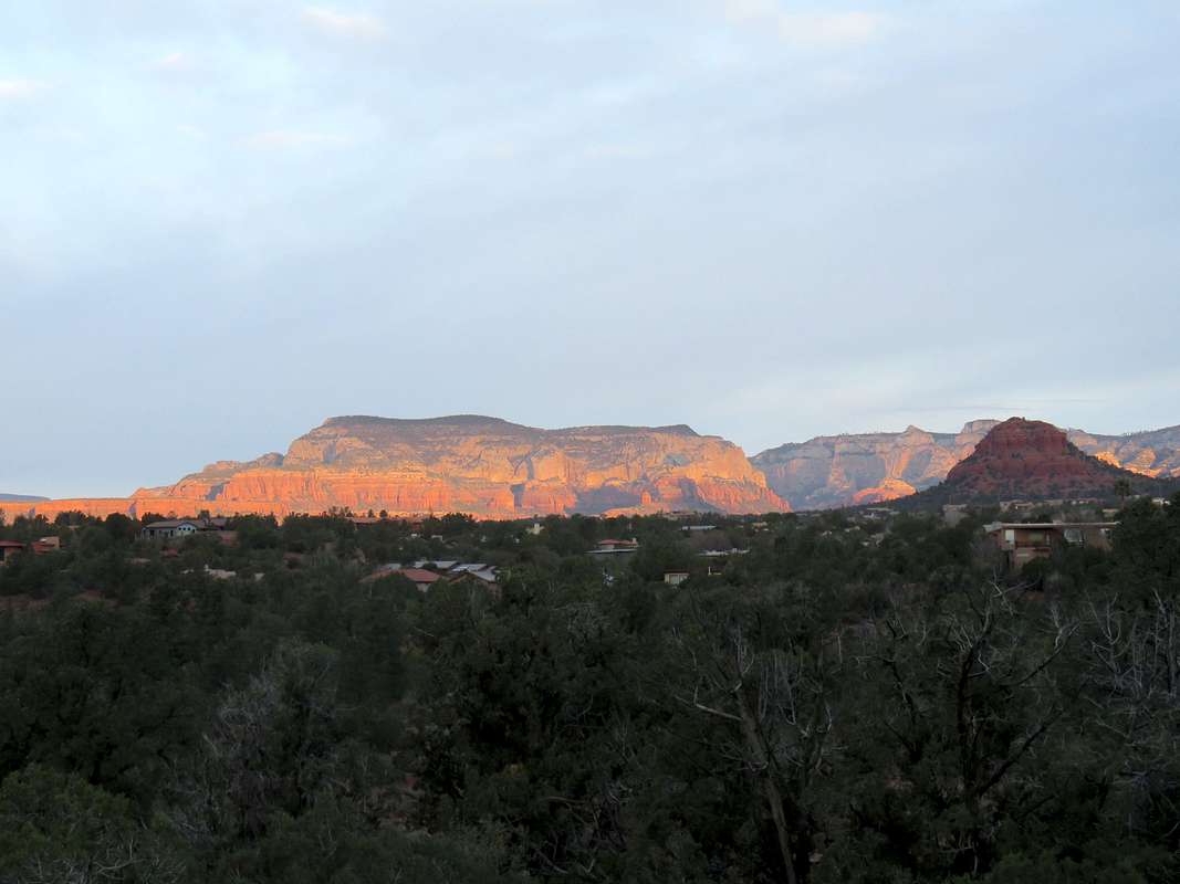
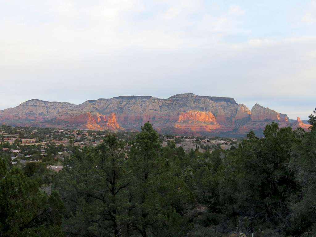
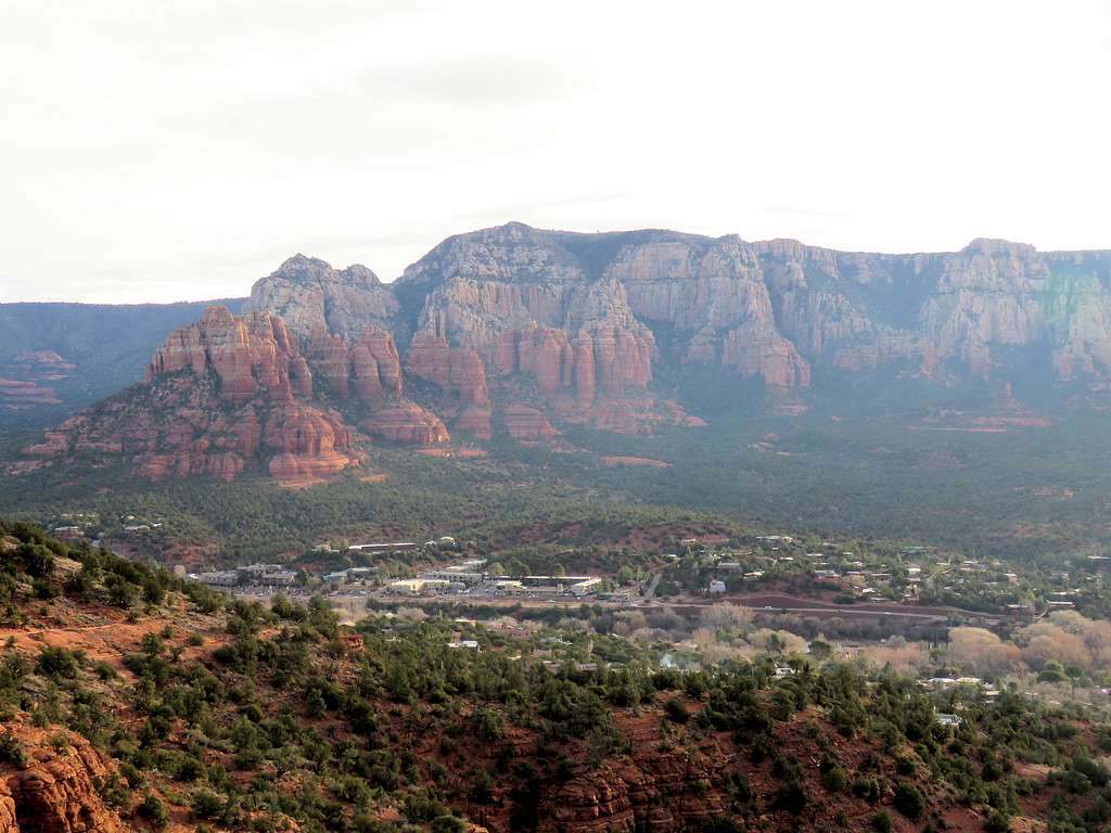
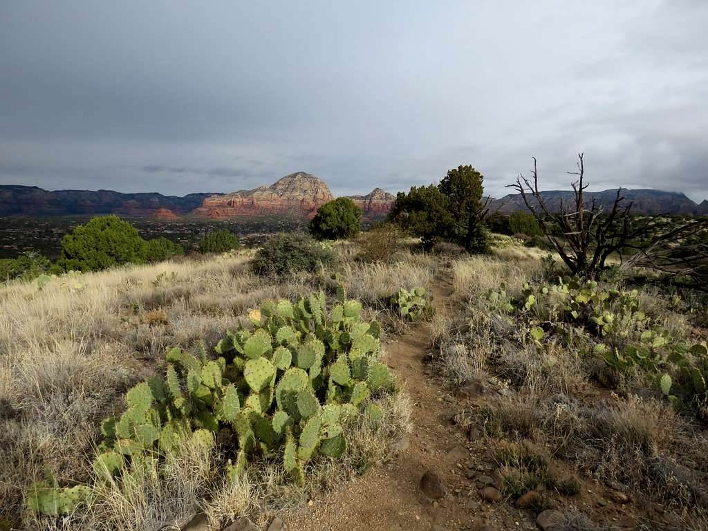
Sedona and Capitol Butte from Airport Loop Trail.
Wilson Mountain.
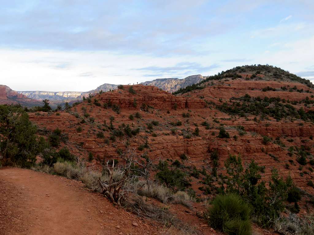
In the northeastern corner of the loop, the trail goes to the top of a hill that serves as a popular viewpoint.
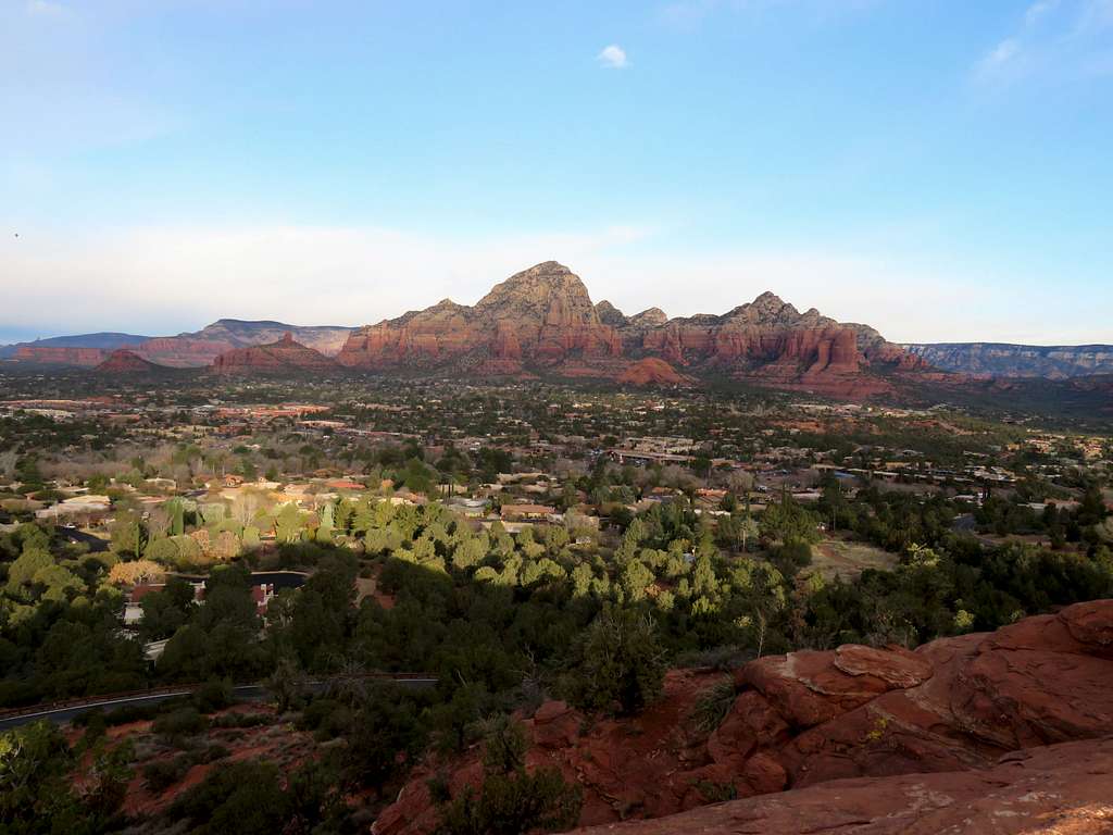
Viewpoint Hill from the trail.
Airplane about to land.
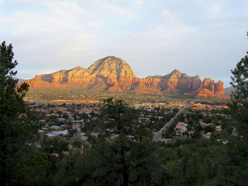
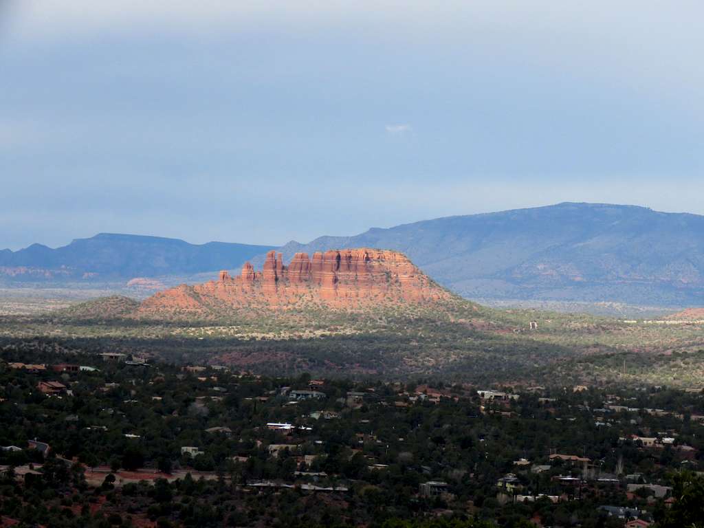
Another view of Capitol Butte.
Cockscomb.
On the southwestern side of the loop, a spur trail can be followed half a miles on top a tongue known as Table Top.
At the end of Table Top, I wanted to go down to reach Ridge Trail, however a sign clearly said “No Trail”. I did not want to hike off trail over the cryptobiotic soil.
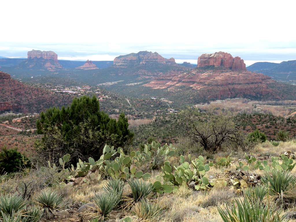
Cathedral Rock, Bell Rock and Courthouse Butte from the end of Table Top.
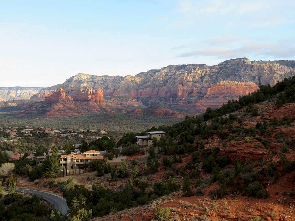
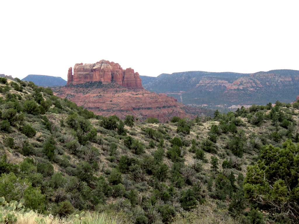
Cathedral Rock from Airport Loop.
Essential Gear
Hiking equipment.