
Comments
No comments posted yet.
|
|
Trip Report |
|---|---|
|
|
29.25870°N / 103.767°W |
|
|
Mar 4, 2020 |
|
|
Hiking |
Anguila Mesa sits at the western end of Big Bend National Park in Texas. It rises directly above Rio Grande River which marks the border between the United States and Mexico. A trail starts near the town of Lajitas and goes 700 vertical feet up to reach the top of the mesa. Multi-day backpackers have the option of going down canyons to reach the river, or go all the way to the far southeastern end of the mesa on the rim of Santa Elena Canyon.
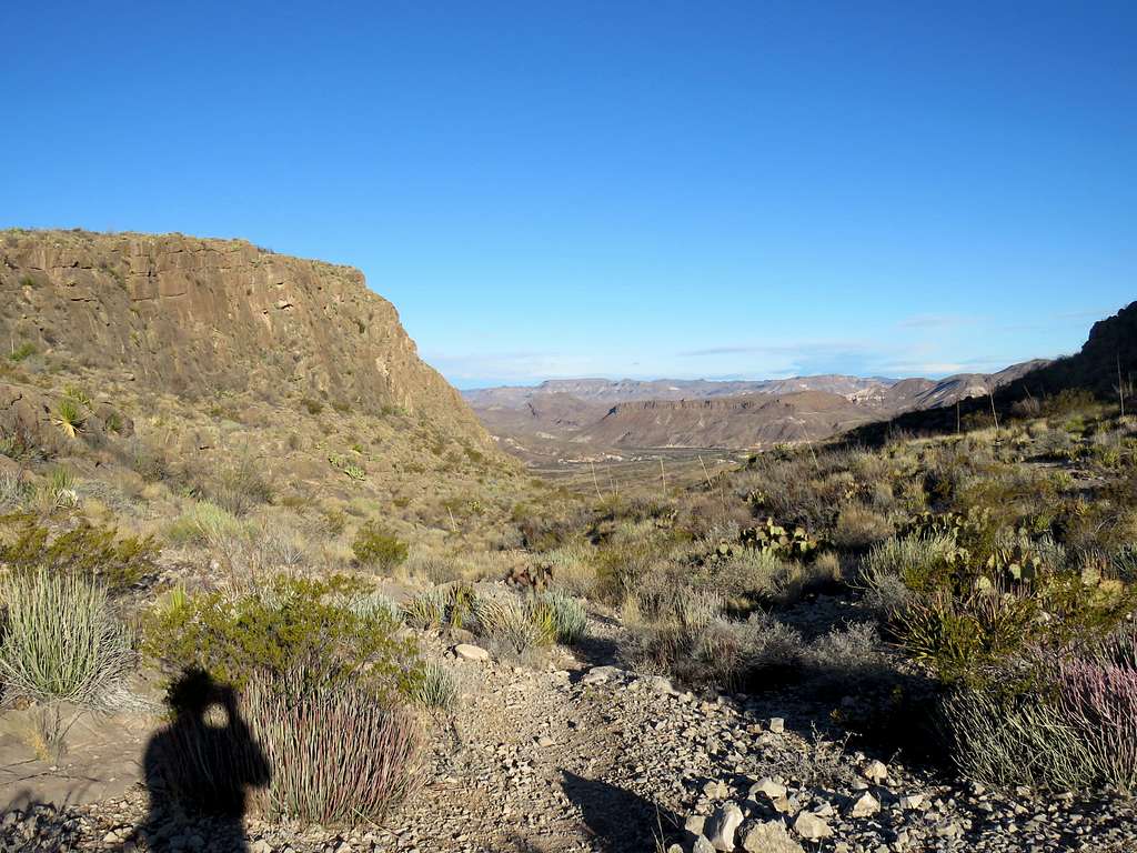
I was looking for a day hike that would give me good views of the river. Unfortunately, the trail travels the surface of the mesa far from its southern edge not providing any river views. By looking at Google Earth and satellite photos, I was able to come up with a path that followed the trail 3.3 miles and then off trail 0.9 miles to reach the southern edge of the mesa where I got dramatic views of the Rio Grande 800 vertical feet below.
Hiking Distance: 8.4 miles
Total Ascent: 1400 ft
Lowest Elevation: 2300 ft
Maximum Elevation: 3160 ft
Left the vacation rental house in Terlingua, Texas at 7:00 a.m. Had a short 15 mile drive to the trailhead near the golf course in Lajitas. It had rained the previous night but at that hour, it was sunny and 41 degrees F. No one was at trailhead and I did not see any other people until I was on my way back. Elevation was 2345 ft.
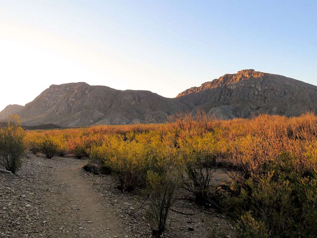
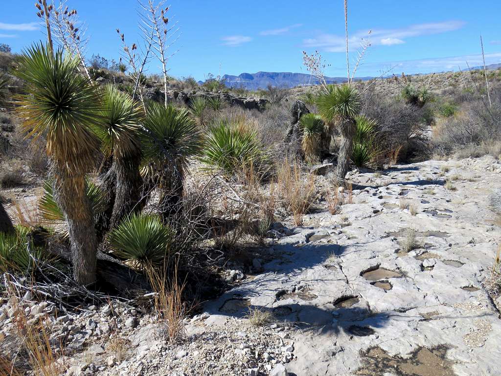
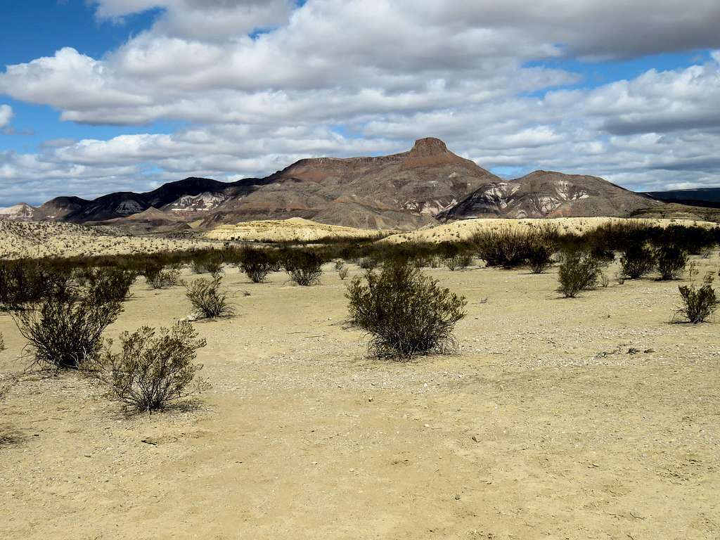
Started my hike at 7:30. The trail was well signed and cairned. It went into a dry wash, crossed a paved golf course path, then exited the wash at a sign onto a desert plain covered by creosote bush heading southeast toward the mountains. I could see the notch in the mountains where the trail would ultimately take me.
Views from the desert plain. The 3646 ft Lajitas Point made a pretty site behind me.
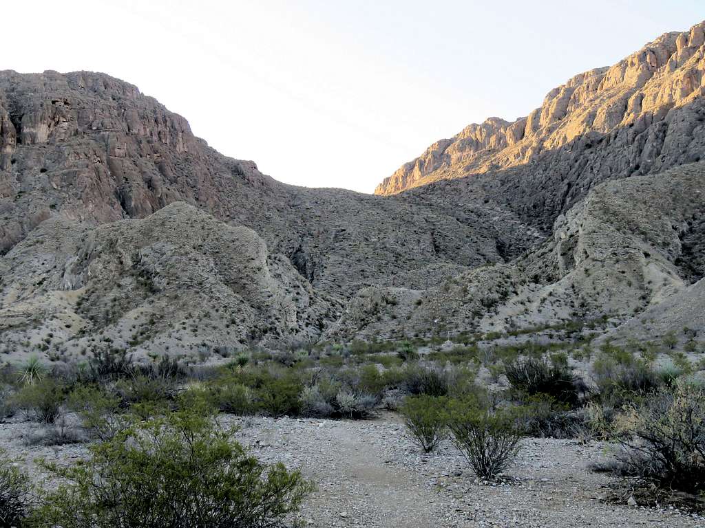
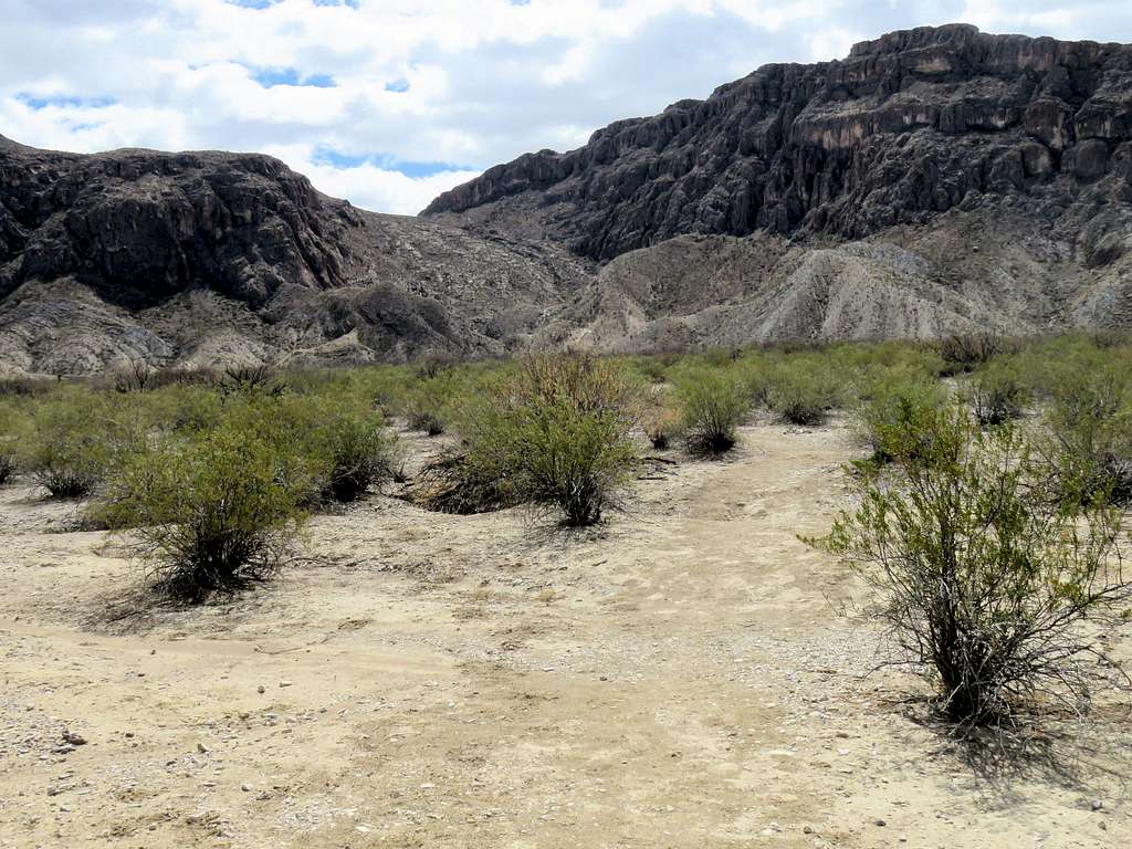
After 1.15 miles, I went into the shade reaching the base of the mountain where the climbing began.
Going up the trail, I quickly gained elevation and was back in the sun at the 2950 ft saddle at 8:27 a.m. and 1.85 miles. Looking north toward where I had come from.
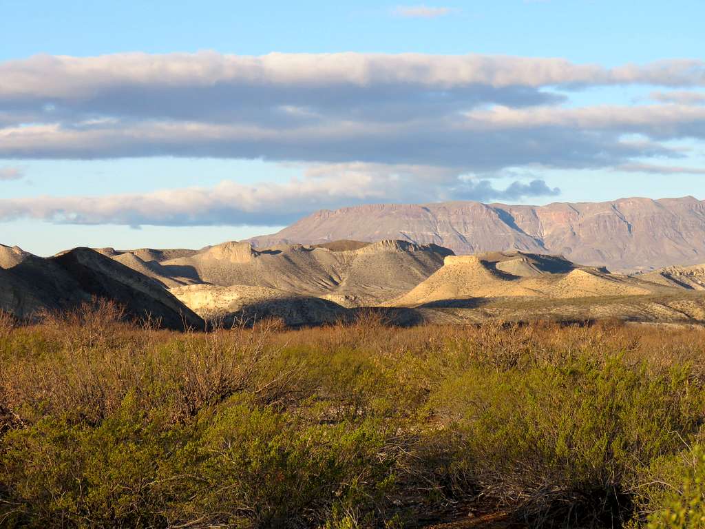
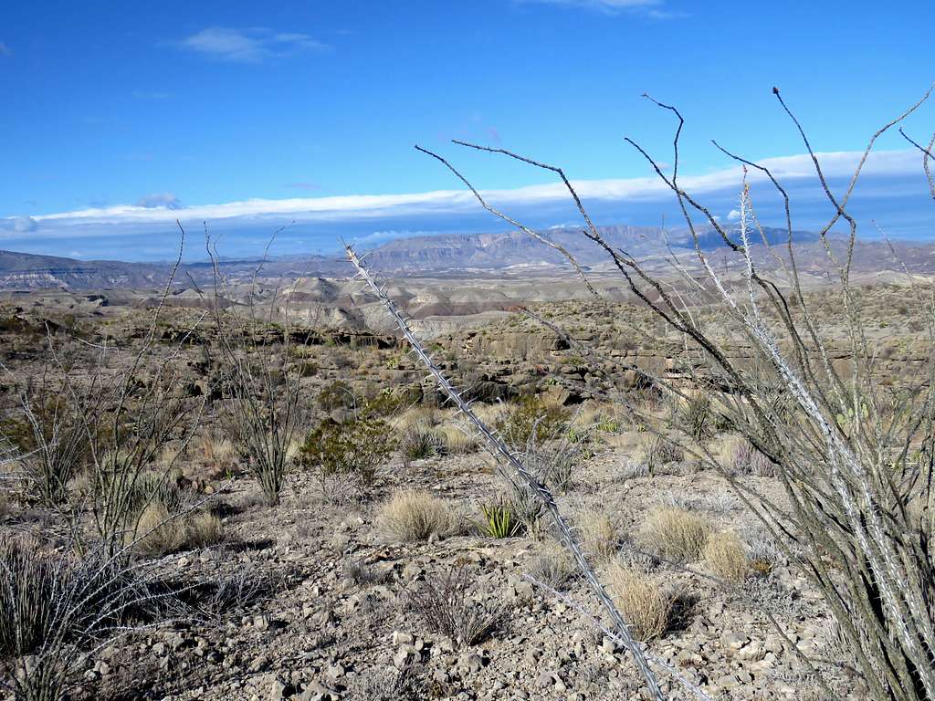
Short sections of Rio Grande River and Mexico to the south of it were visible.
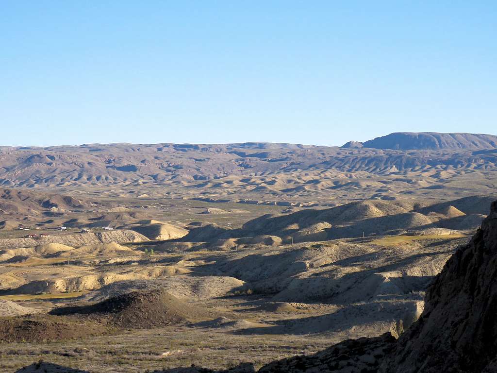
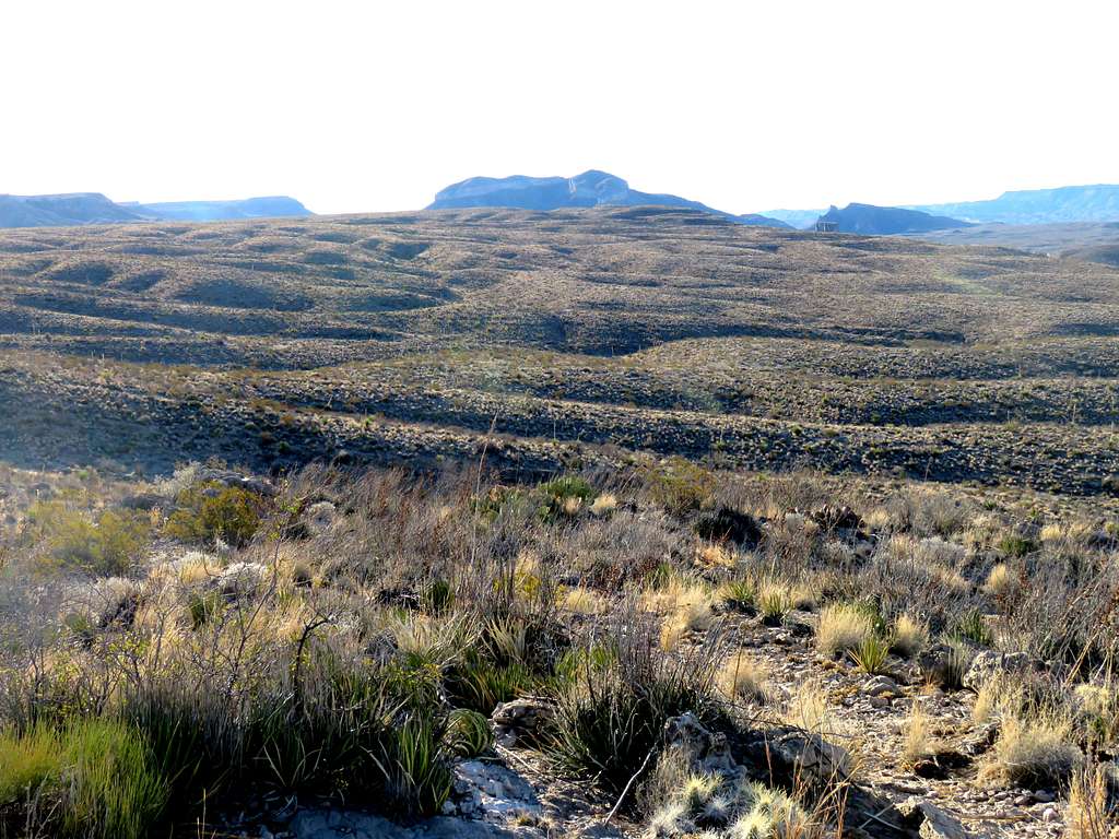
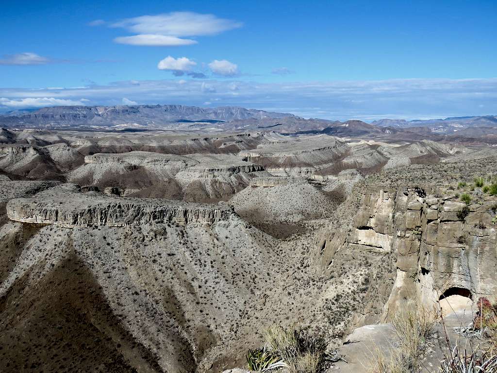
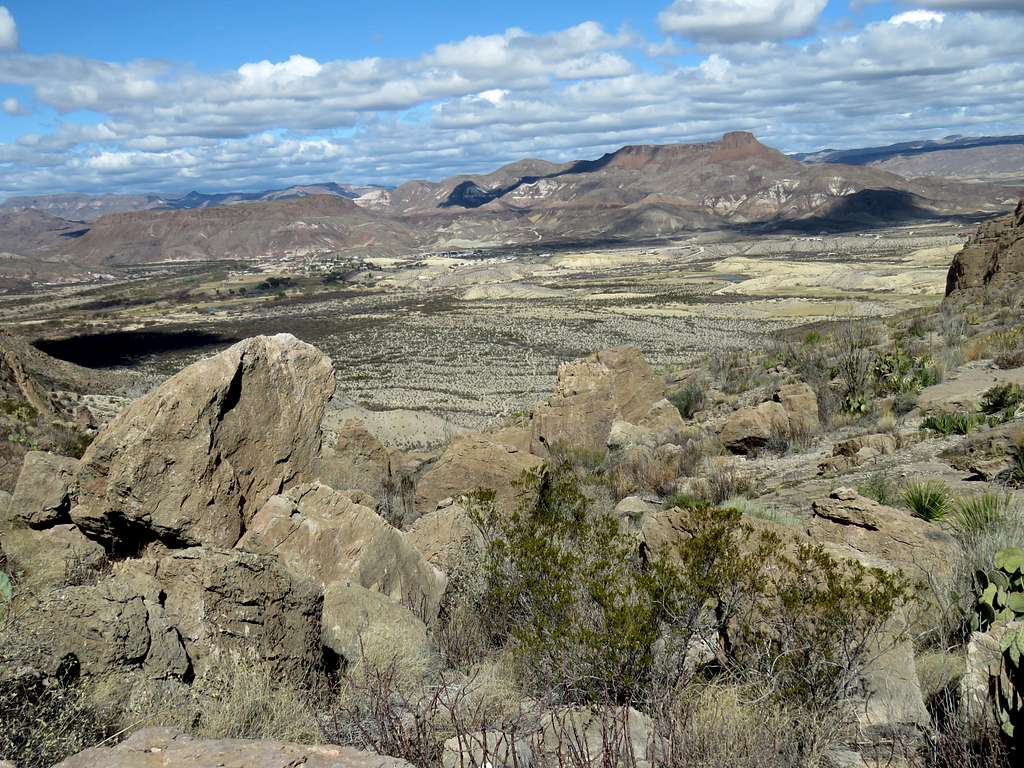
The surface of Anguila Mesa laid in front of me to the east.
Headed east into the sun following the trail on the surface of Anguila Mesa.
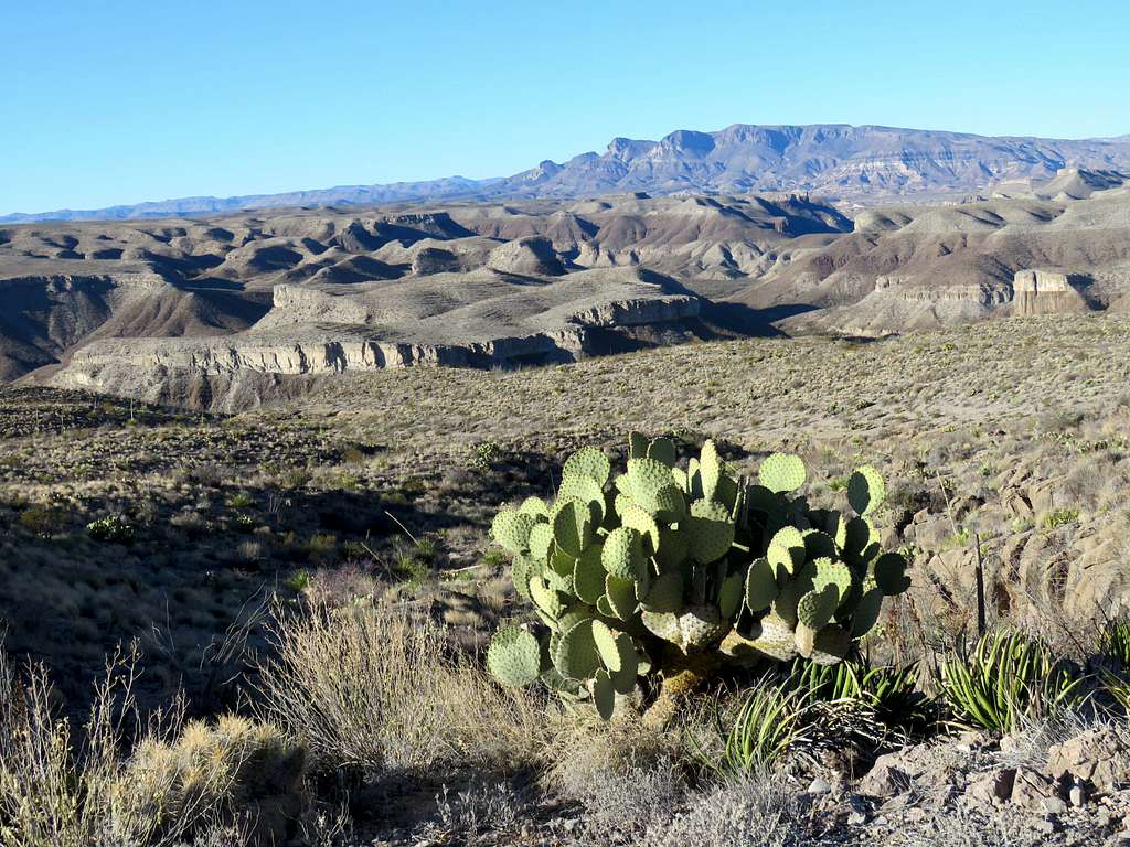
I had entered the path that I wanted to follow into my GPS. At 9:15 a.m., 3.3 miles and an elevation of 3160 ft, I reached where I needed to leave trail. Left trail heading south into a dry wash. Was concerned that I might end up doing bushwhacking in a thorny snake and scorpion infested environment but the bushwhacking was minimal and I did not come across any creepy crawlies.
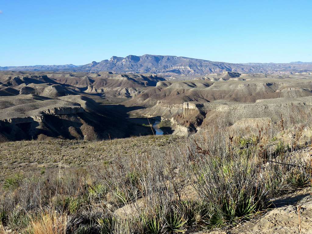
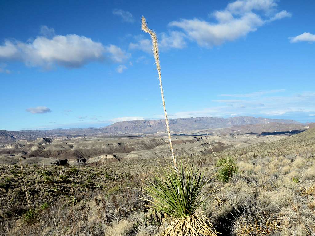
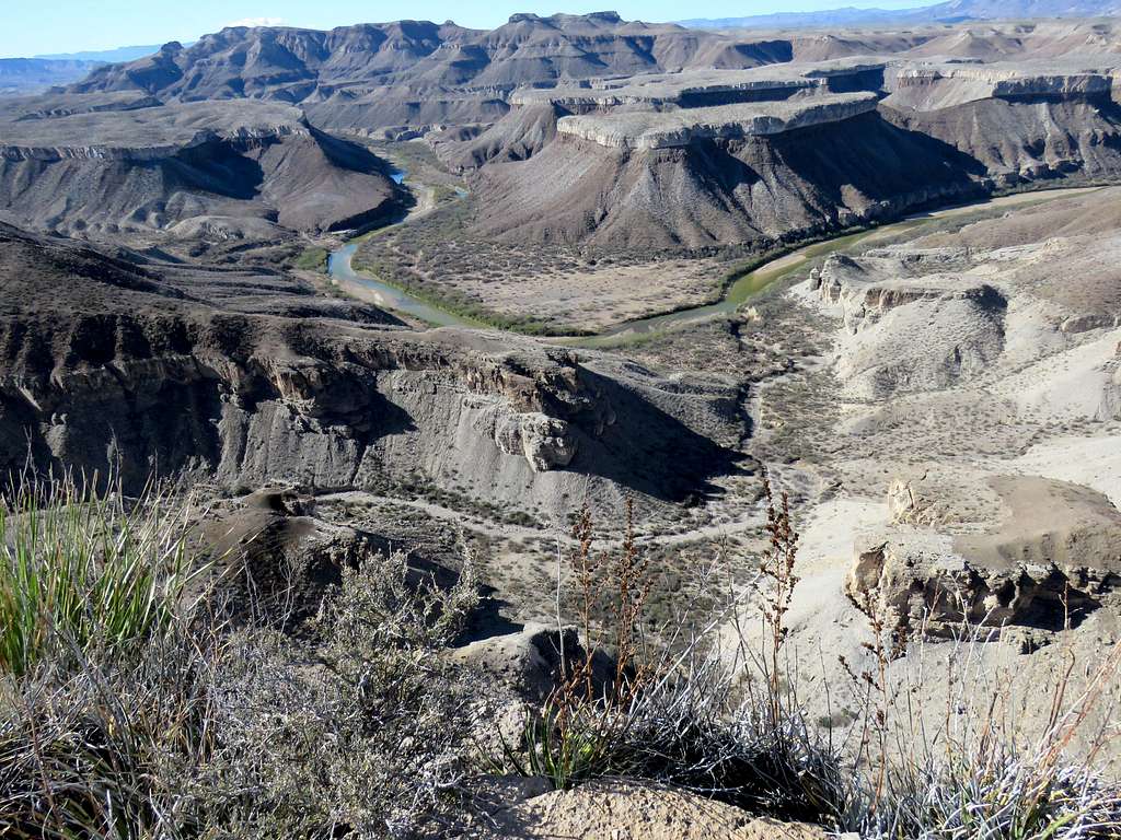
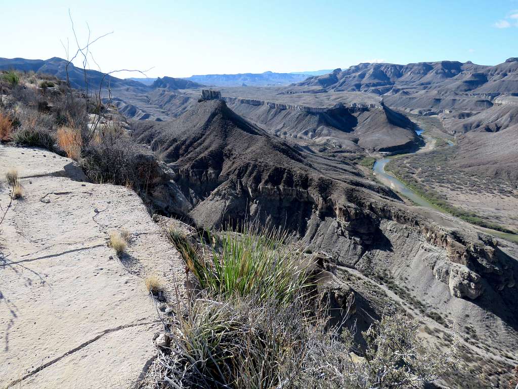
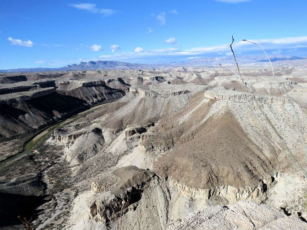
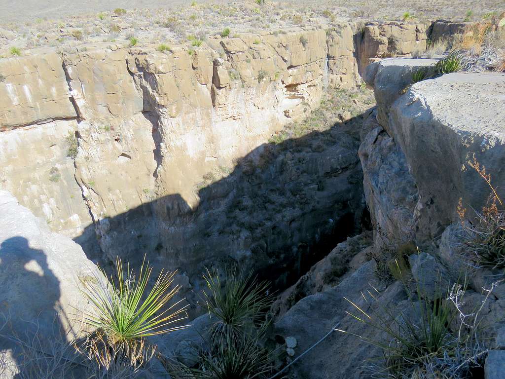
On Google Earth I had seen that toward the end, the wash that I was in, would quickly turn into a deep canyon that poured off the edge of the mesa. As the path in my GPS showed, before the canyon formed, I went to the east side of the wash, up a hill and then down to reach the edge of the plateau at 9:47 a.m. In front of me, the ground dropped 800 vertical feet into Rio Grande River. I was particularly happy that I had discovered that spot on my own. Sat there to take pictures, have my meal and enjoy the views.
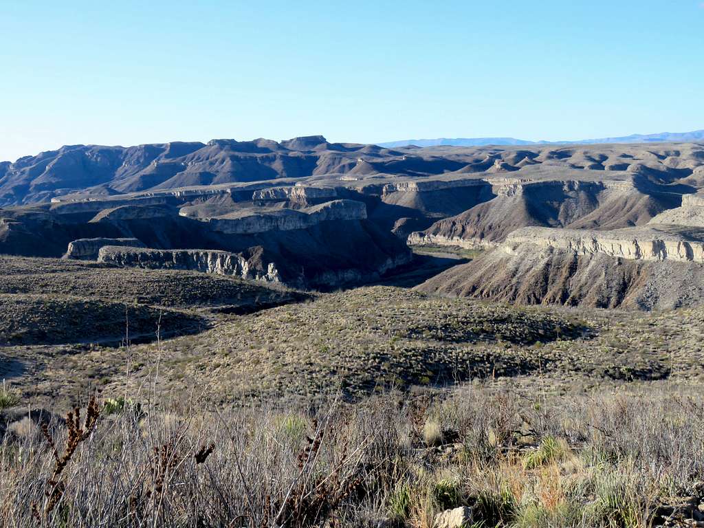
I then headed west along the edge of the mesa a short distance to reach the edge of the big canyon that the wash that I had been in had turned into. The bottom of the canyon was in the shade and not well visible.
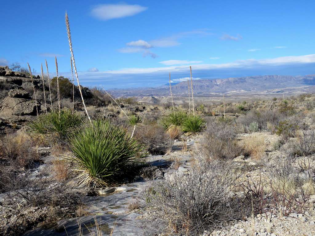
Was soon tracing my way back in the wash toward the trail.
The weather was perfect and the views were spectacular but I was wearing my soft boots causing my toes to hurt. I was unhappy that such a perfect day was being ruined by needless pain. Reached the trail and followed it back to the saddle where I arrived at 11:40 a.m. One couple were coming up the trail.
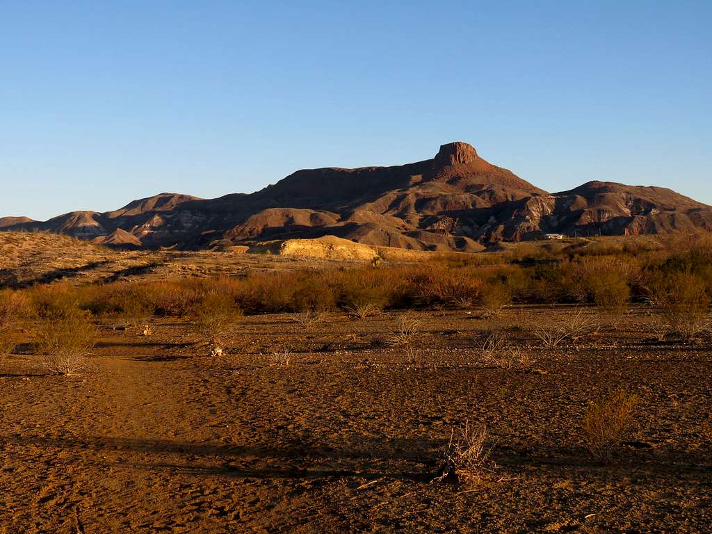
Looking north at Lajitas Point before going down the trail.
Going down the trail, I saw two other people and then no one else. Lajitas Point from the desert plain.
Looking back at the saddle.
Reached my car at 12:40 p.m.. It was 65 degrees F.