
Comments
No comments posted yet.
|
|
Trip Report |
|---|---|
|
|
29.24610°N / 103.3052°W |
|
|
Mar 3, 2020 |
|
|
Hiking |
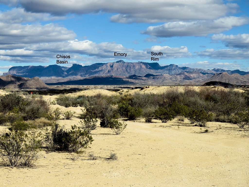
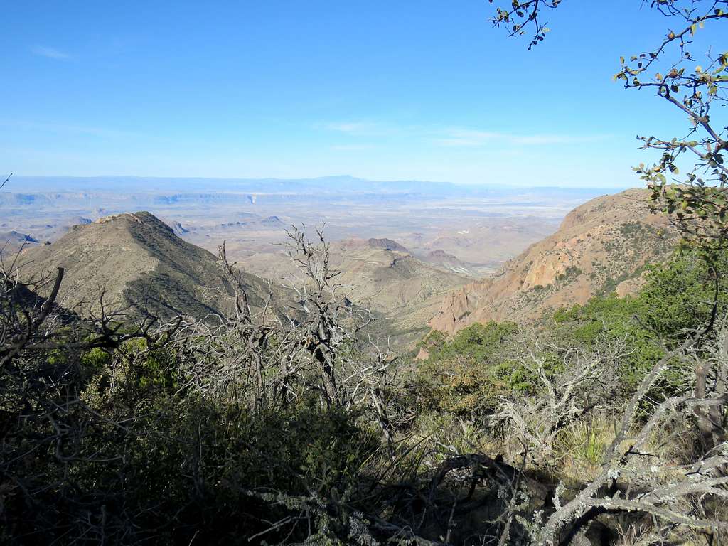
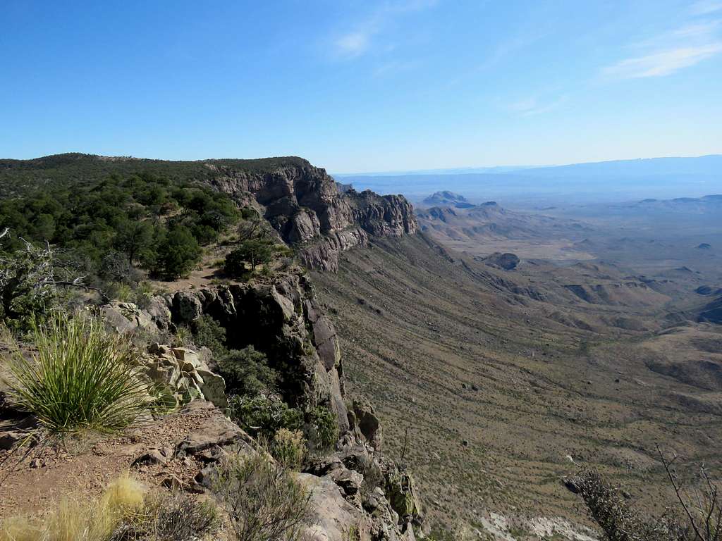
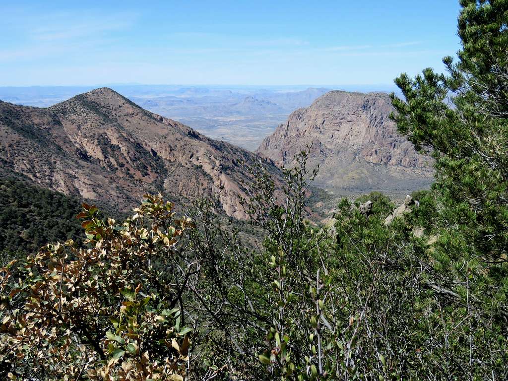
At 7825 ft (2385 m), Emory Peak is the 11th highest peak in Texas and the highest point in Big Bend National Park. It is a popular hiking destination and has a well established trail. South Rim is the southern edge of a hilly plateau 7200-7400 ft high 1.5 miles to the south of Emory Peak. From South Rim, one could look south to see cliffs/steep slopes dropping 2500 vertical feet into lower mountains and valleys that ultimately lead to the Rio Grande River 14 miles away and more than 5000 vertical feet lower. While the river may not be visible, views extend far south of the river into Mexico. Emory Peak and South Rim can be both reached in a single day via a 16 mile loop hike in the Chisos Mountains.
This was the fifth day of my hikes in Big Bend National Park. My toes had begun to hurt and I wondered if I would be able to do the long hike. The loop line (trails) that I had highlighted on the Caltopo.com map and entered into my GPS had come out to 14.6 miles. From experience, I knew that the actual hike as measured by my GPS after finishing the hike, always came out longer so I knew that I had a long day ahead of me. If I had to choose between Emory or South Rim, I wanted to do South Rim since I believed it to give me better views. Going to South Rim and back was itself a 12.5 mile hike so it did not make sense to not climb Emory except for the nearly 1000 ft of vertical that it added to the trip.
Chosis Basin Trailhead along with "The Window" in front of it and Casa Grande Peak seen to the left.
Hiking Distance: 16.00 miles (exactly per my GPS)
Total Ascent: 3600 feet
Minimum Elevation: 5350 ft
Maximum Elevation: 7825 ft
Hiking Time: 7:05 a.m. to 3:55 p.m.
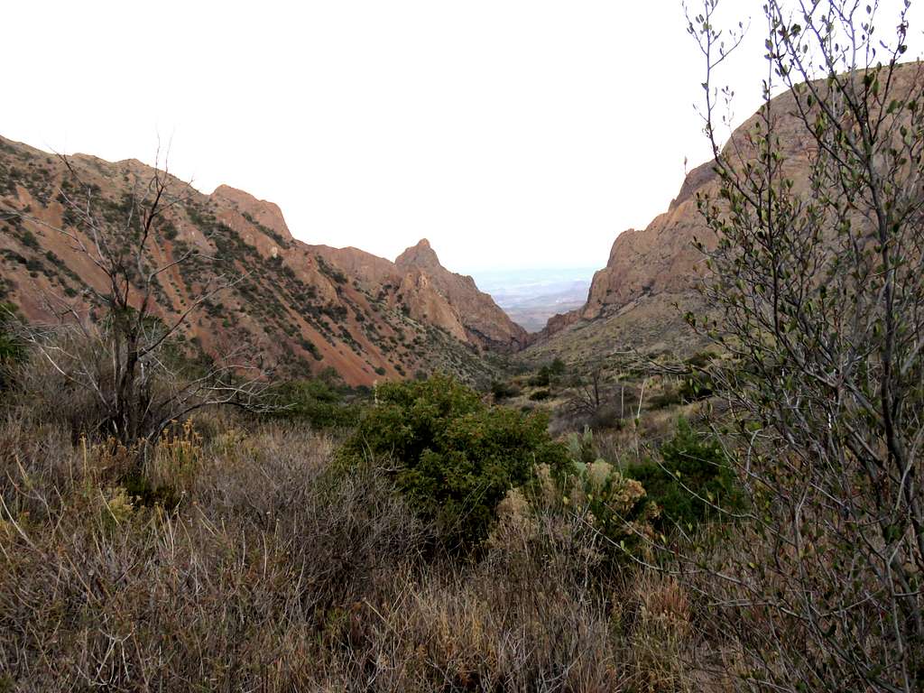
Left the vacation rental house in Terlingua, Texas at 6 a.m. when it was still dark (sunrise 7:15 a.m.) and drove 35 miles to Chisos Basin Trailhead. By the time I did a few other things and started my hike, it was 7:05 a.m. It was 33 degrees F and elevation was 5390 ft. Went on Laguna Meadow Trail heading south toward South Rim. A jogger went by but then I did not see any other hikers until 2 hours later. Signs warned hikers to be alert for bears and mountain lions. Got a good view of The Window, a narrow outlet draining Chisos Basin.
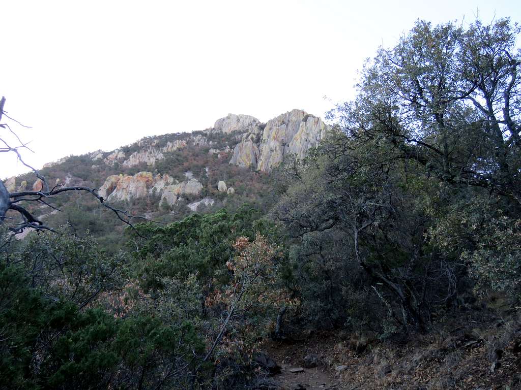
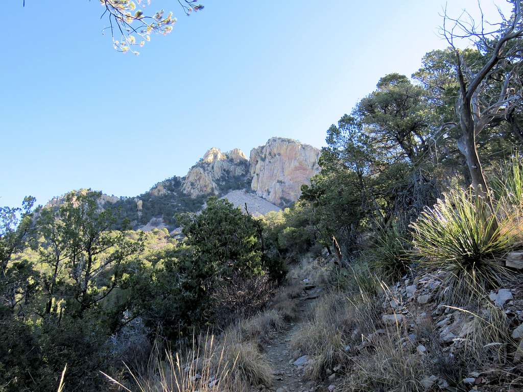
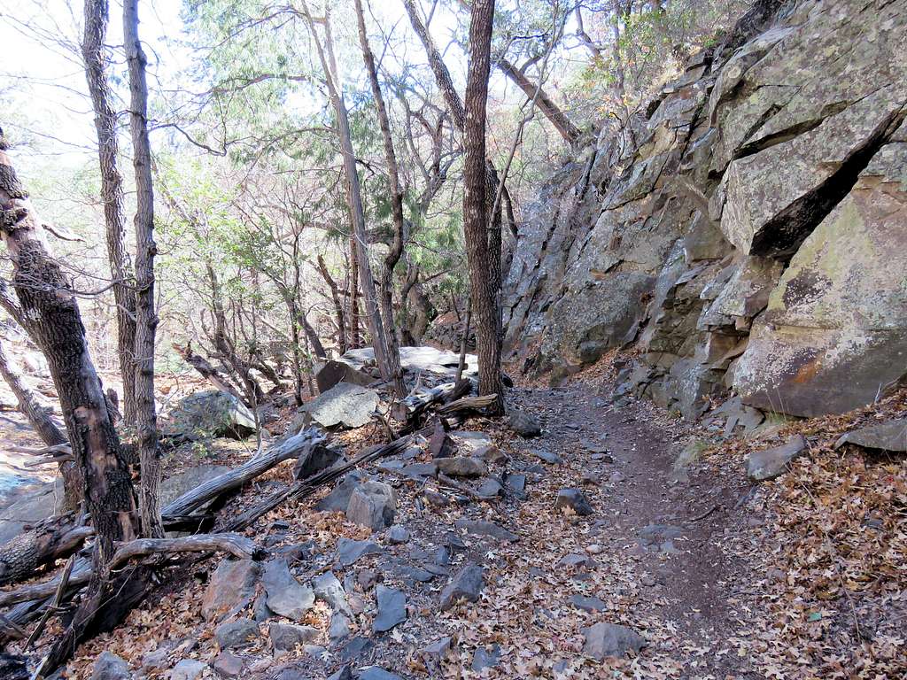
Soon went past the junction with Pinnacles Trail which would be be the return arm of my loop hike. Stayed on Laguna Meadows Trail heading south toward Emory Peak. The western slopes of Emory appeared to be made of cliffs. My map showed that the trail that I was on traversed the western slopes of Emory below its cliffs to the south of it. Access to Emory was via its eastern slopes on a trail that branched off of Pinnacles Trail.
Looking back north at the rising sun over the Vernon Bailey Peak.
After 1.6 miles of hiking, I had gone up only 200 vertical feet to 5600 ft but then the trail became steep and soon a number of switch backs began. I was just to the northwest of Emory Peak.
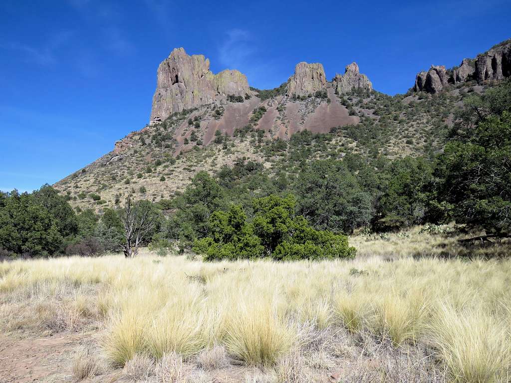
Great view of Casa Grande Peak.
And Pulliam Peak.
On top of the switchbacks, at an elevation of 6650 ft, I reached Laguna Meadows, which was a flat area covered with pine trees. Saw one person who had camped there. At 9:00 a.m. and 3.8 miles, I reached the junction with Blue Creek Trail. Looking down into Blue Creek Canyon.
Began uphill again and noted that I had crossed to the southwest side of Emory Peak.
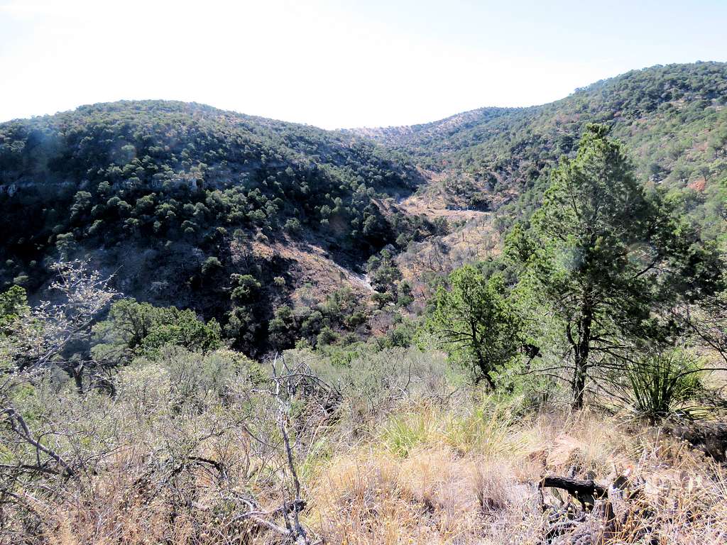
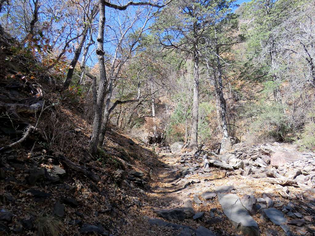
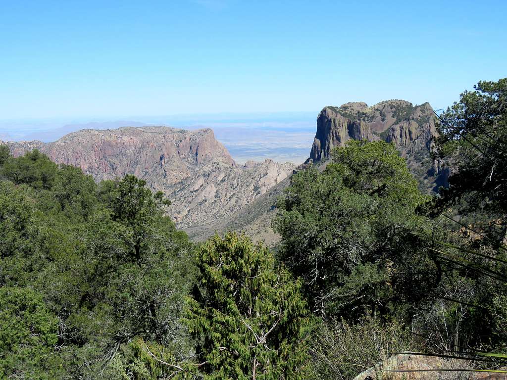
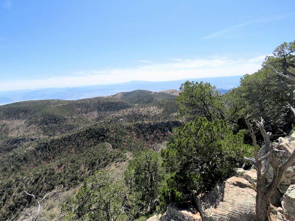
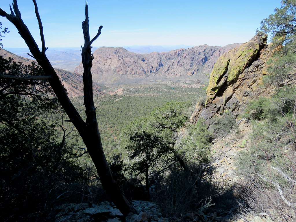
Continued uphill to 7200 ft elevation beyond the junction with Colima Trail. I was on forested hilly terrain and did some downhill too. Boot Canyon came to view to my east. I knew the return leg of my trip would take me down into the canyon.
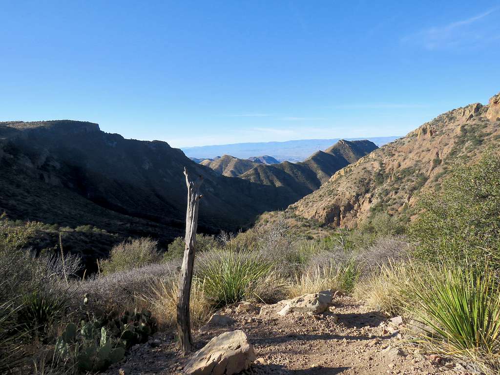
Great views of the desert appeared far below me to the west.
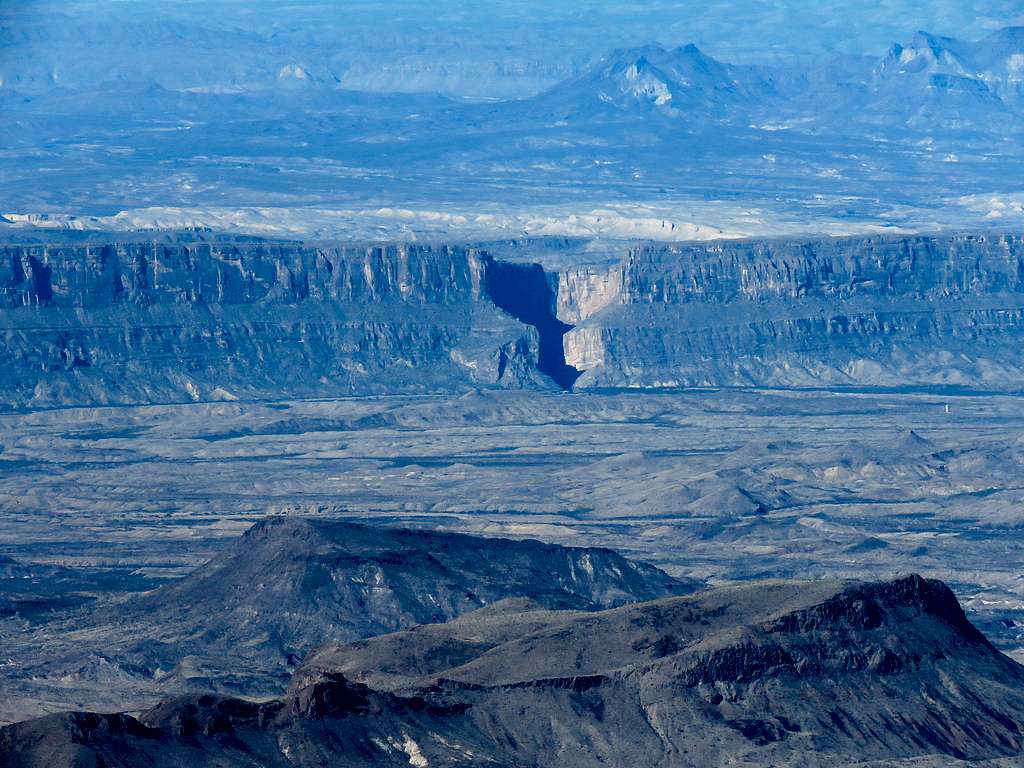
Zoomed view of Santa Elena Canyon 20 miles away.
Looking back north at Emory Peak behind me.
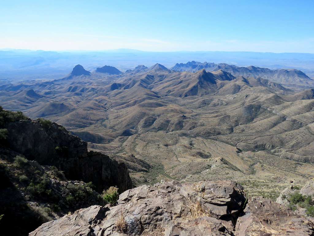
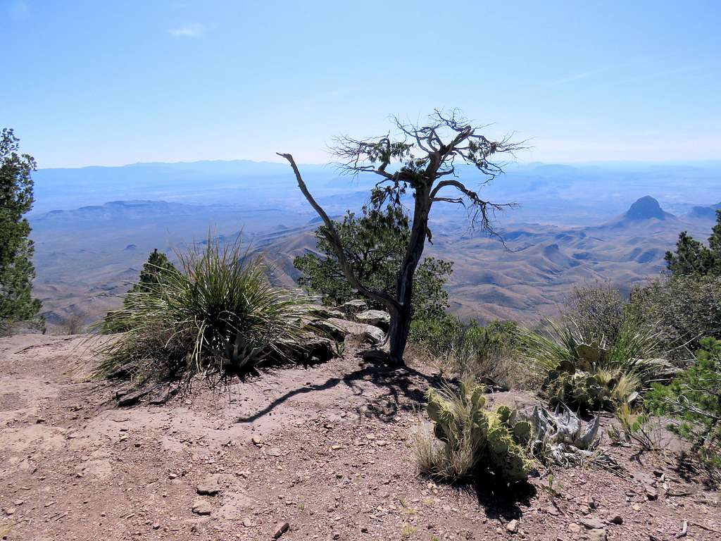
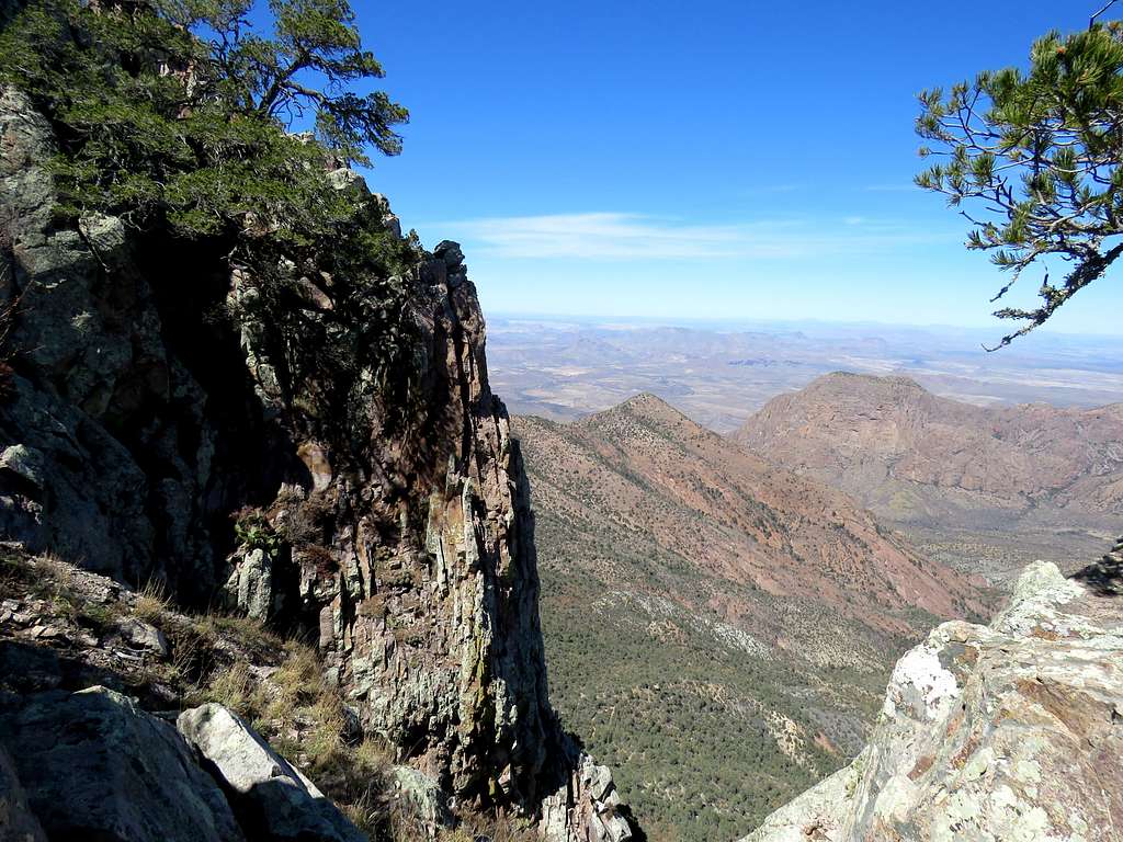
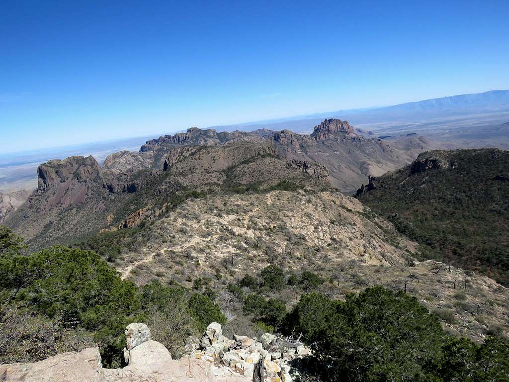
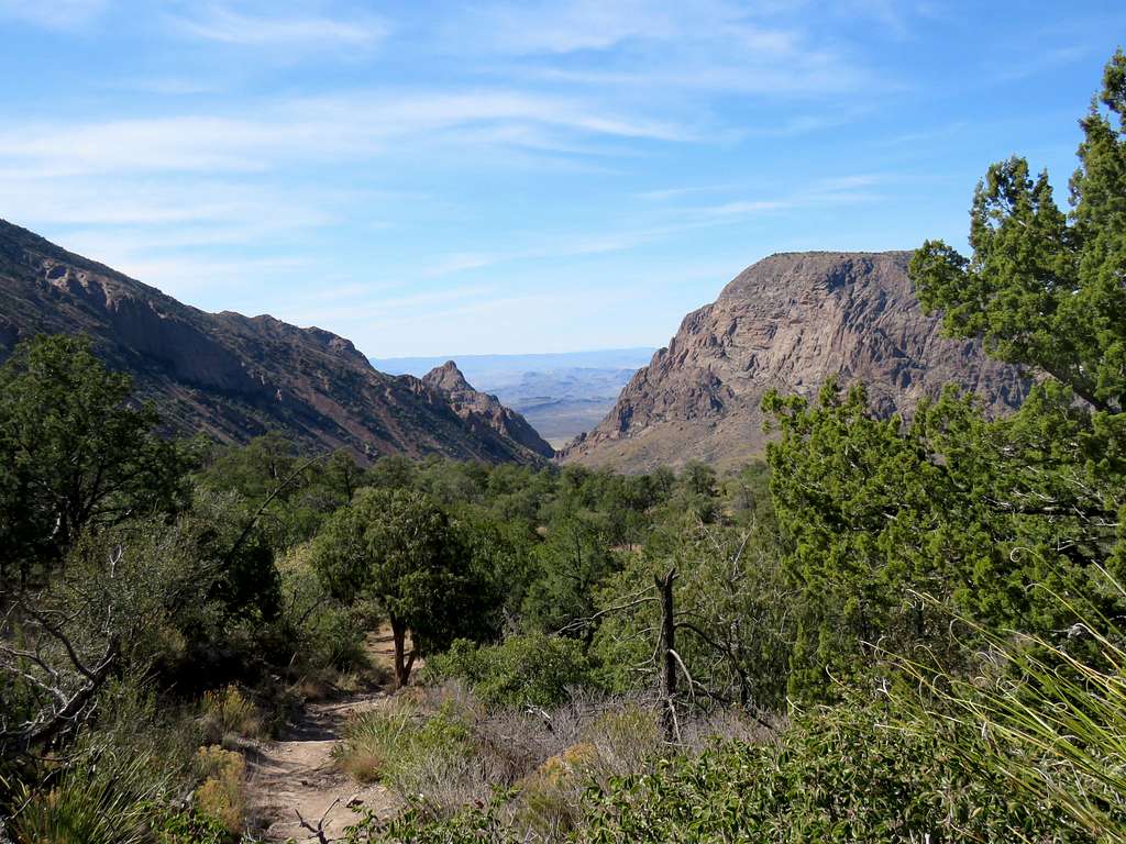
Kept looking at my GPS in anticipation of reaching the South Rim. I knew that there were a number of campsite at the South Rim. As I was approaching the Rim, I was expecting to run into people but was pleasantly surprised to find no one when I reached the first spot on the South Rim. The views were breath taking.
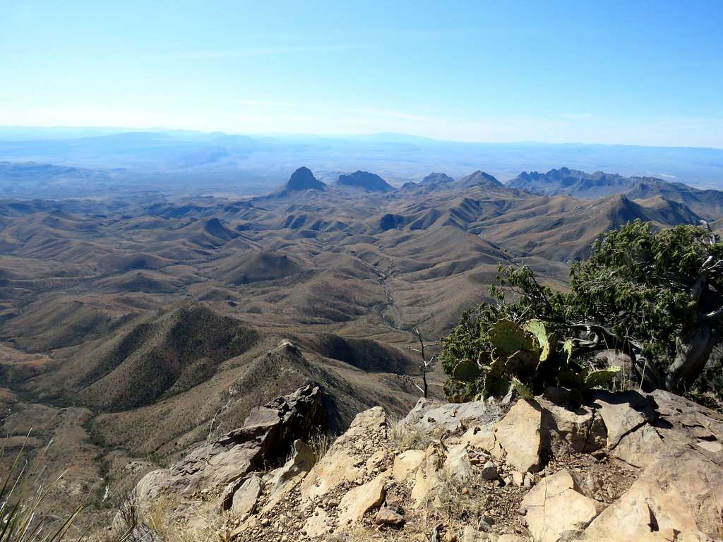
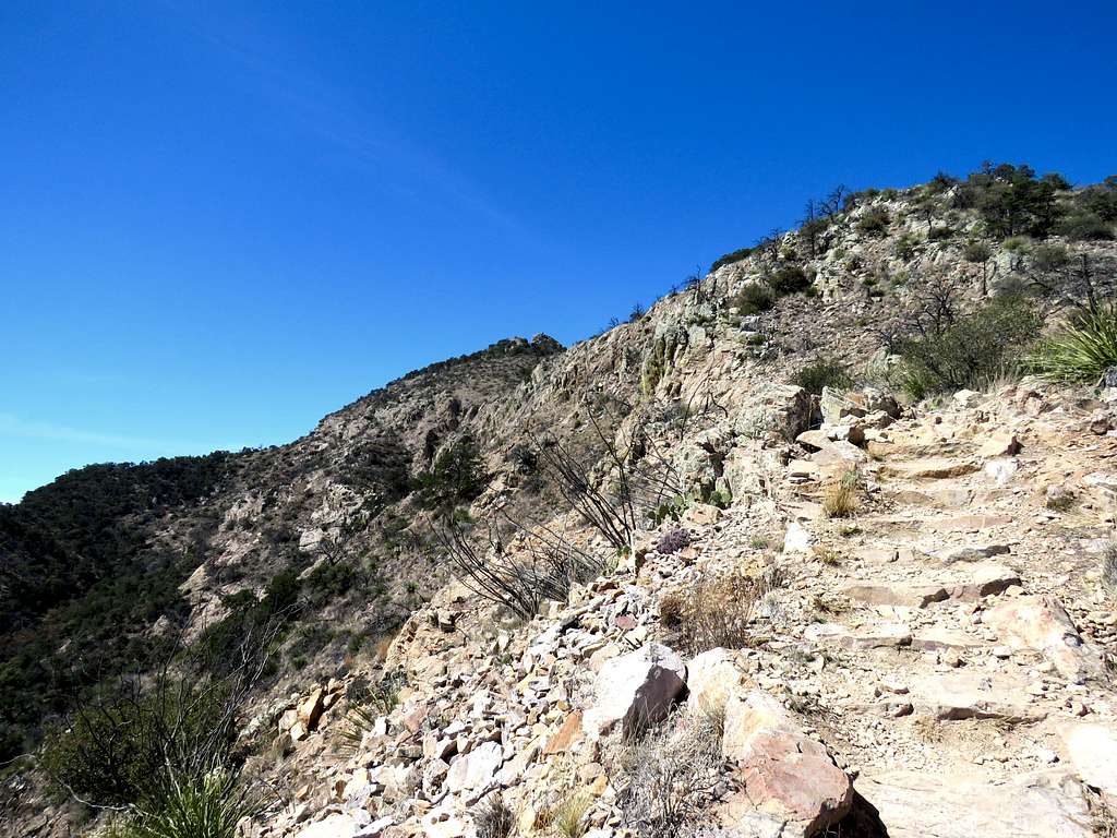
Went a little further east on the trail following the rim to a higher spot at an elevation of 7330 ft where I reached at 10:10 a.m. and 6.25 miles. Sat there to have lunch and enjoy the views. I saw one couple walk by.
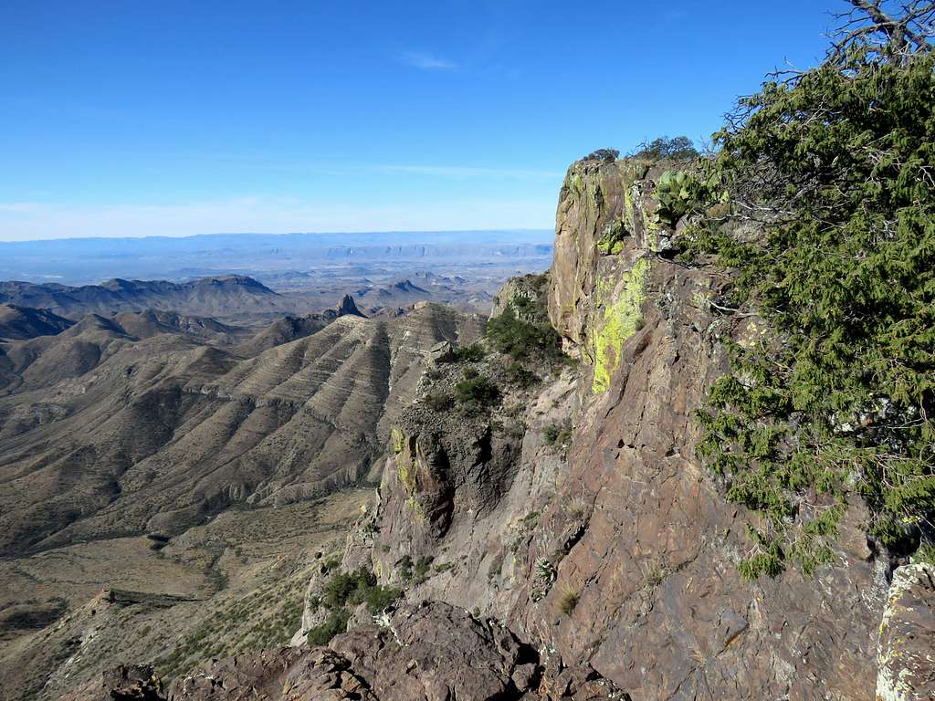
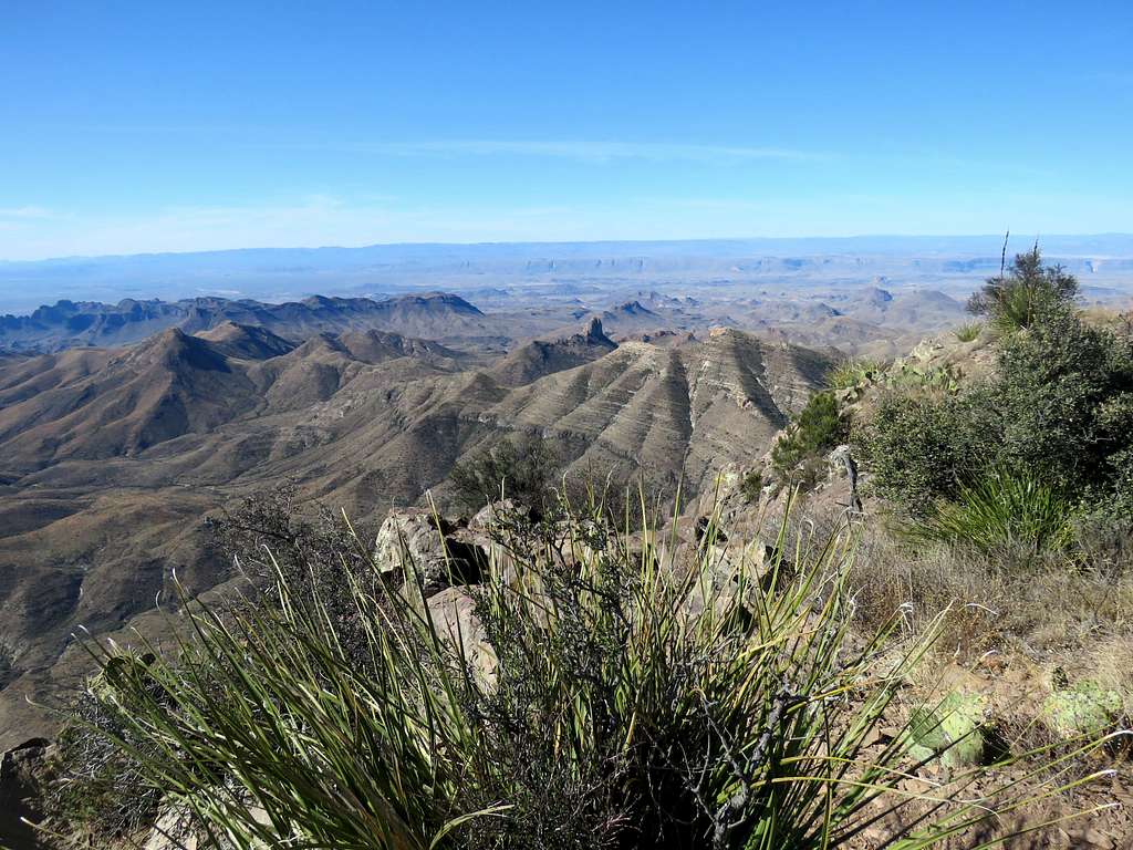
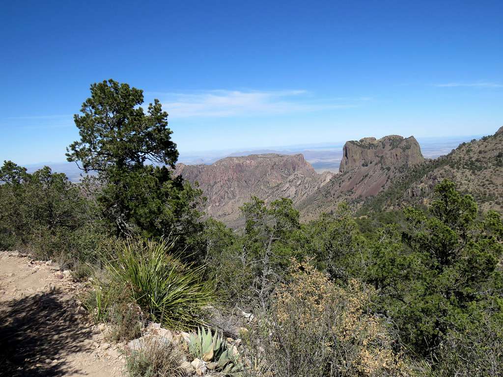
I was not feeling tired at all and my toes were feeling fine so I decided to continue onto Emory Peak. Left at 10:35 and continued on the trail east along the rim. More views from the rim.
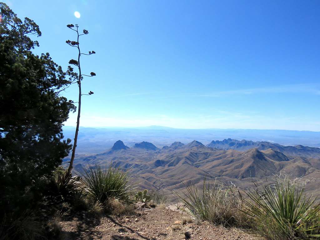
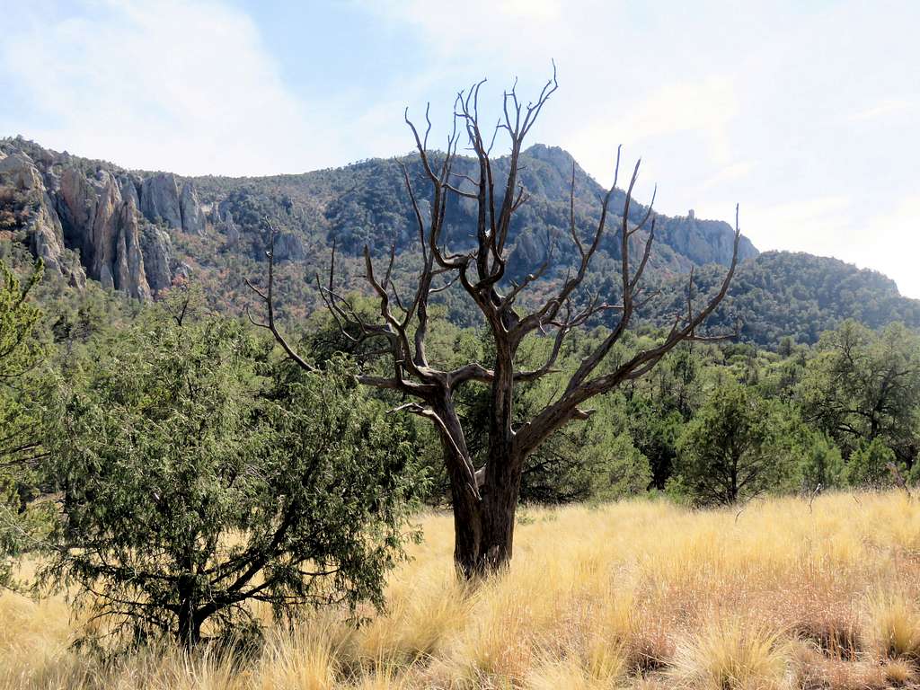
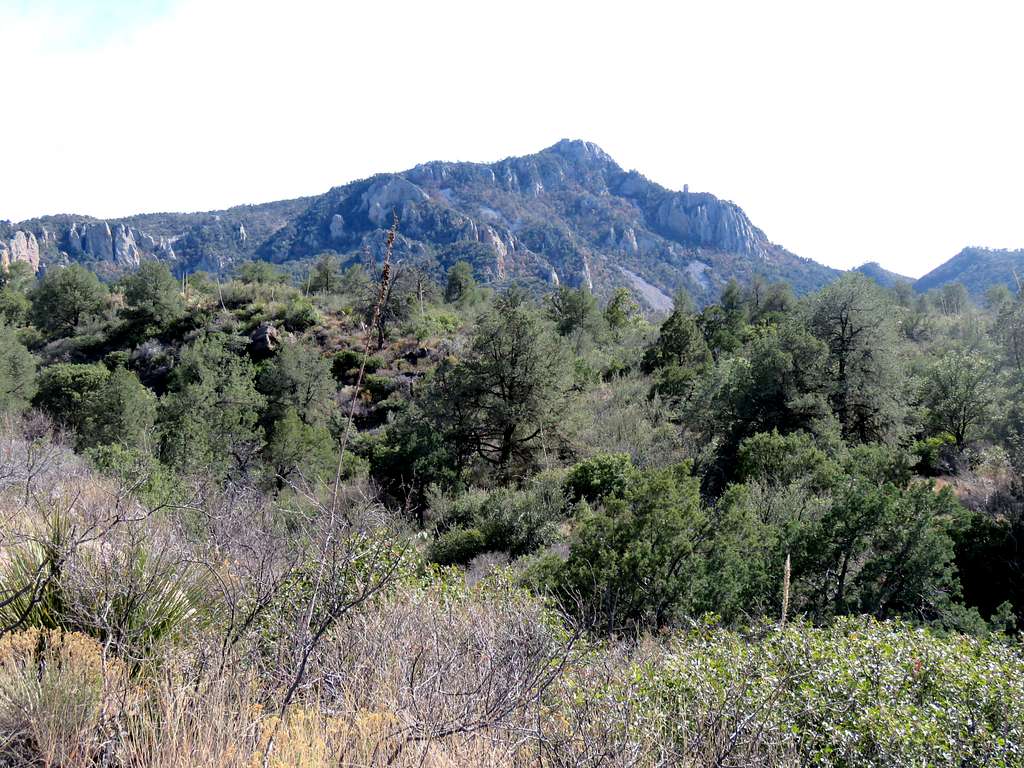
Emory Peak to the north.
At 6.75 mile, I reached the junction with Boot Canyon Trail. I could have continued straight (northeast) along the rim but that would have made my loop hike even longer so I went north on Boot Canyon Trail which descended into a beautiful canyon among the hills. I ran into a park crew fixing the trail and after that started running into other hikers that were coming opposite to my direction.
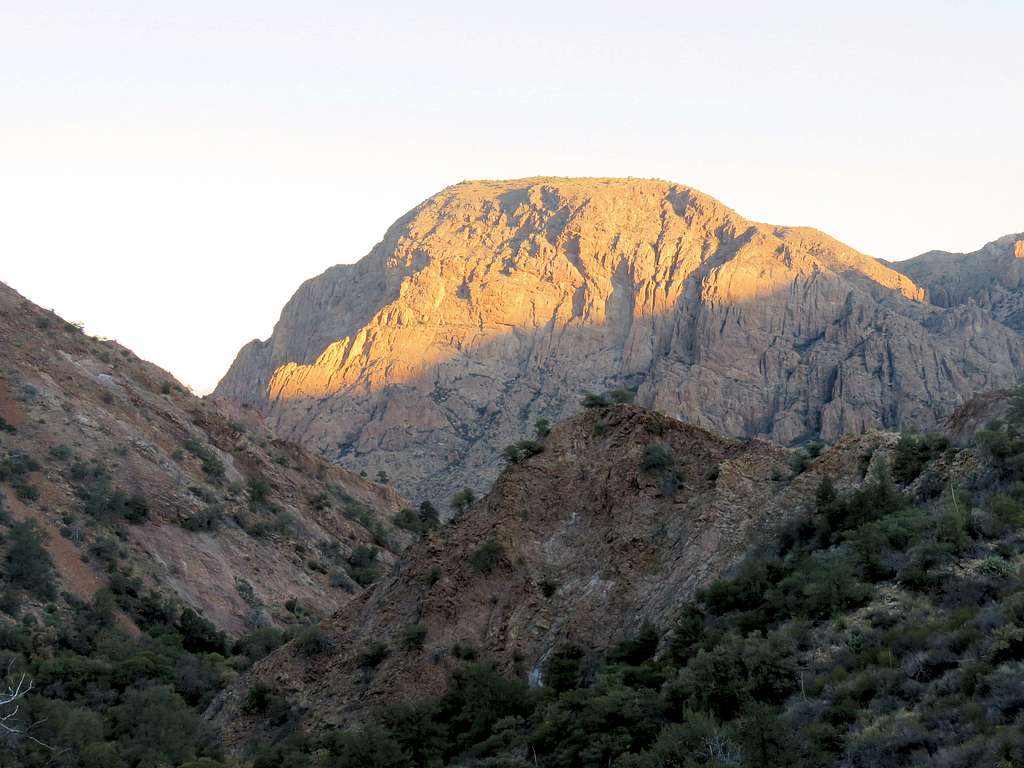
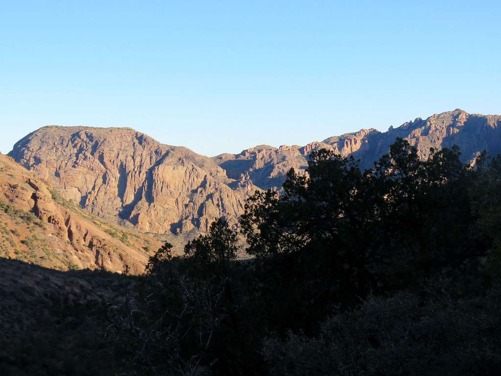
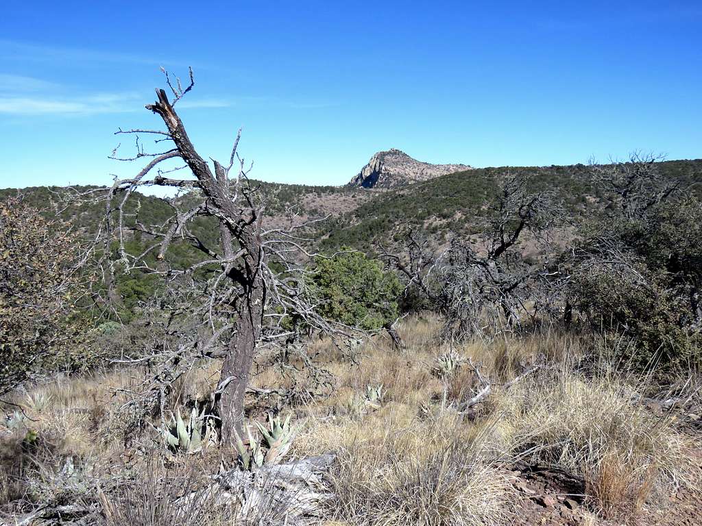
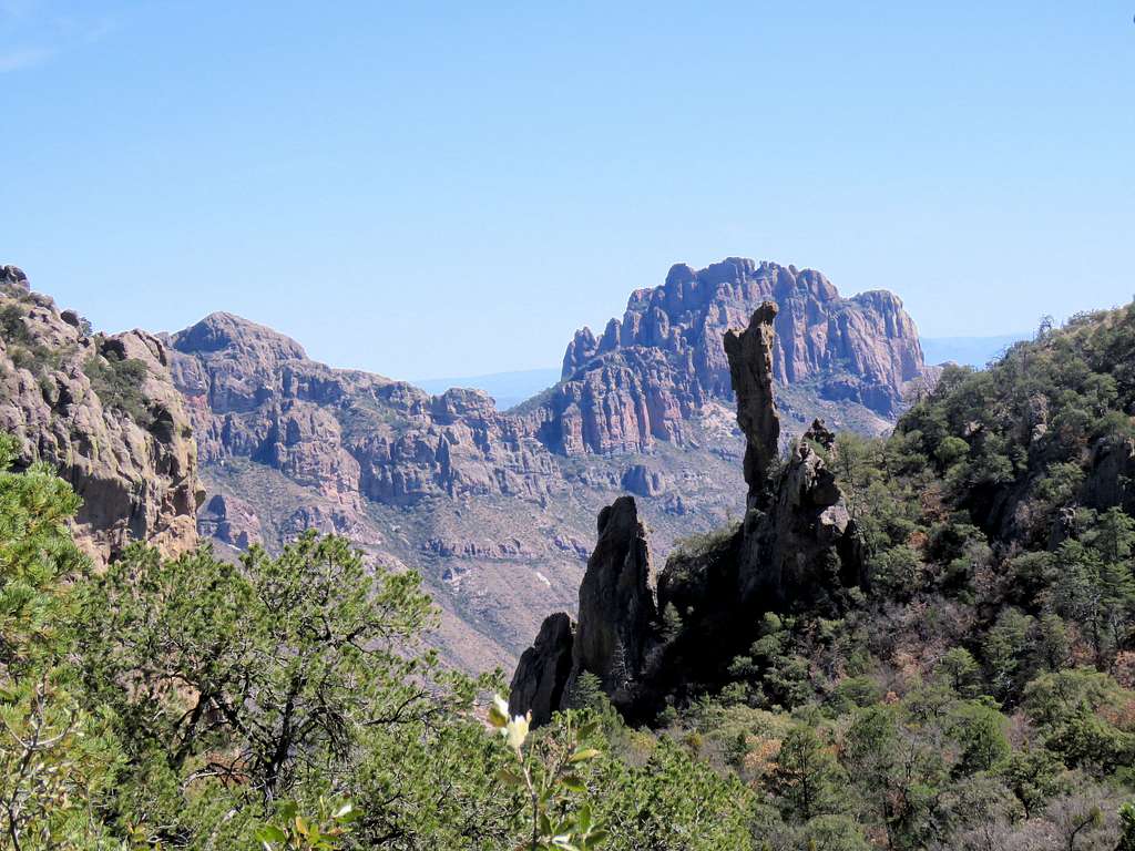
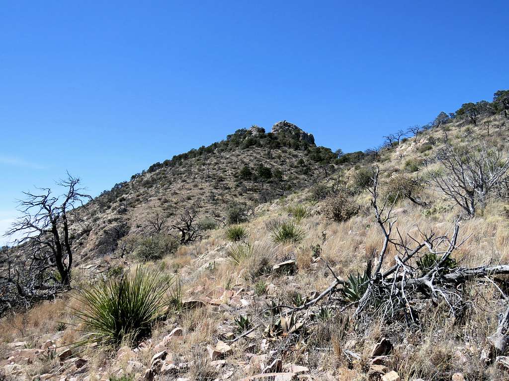
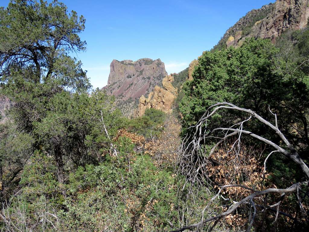
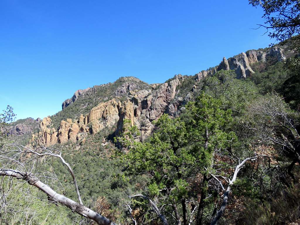
Went past the junction with a number of other trails and was down to a minimum elevation of 6800 ft when I suddenly saw a very spectacular rock across the valley. To me, it looked like a mountain climber with a small backpack bowing down his head. Later, I learned, it was called Boot Rock and the mountain behind it was Crown Mountain. I was at that point directly to the east of Emory Peak.
The trail then began to go uphill until at 12:05 p.m., 9.3 miles and an elevation of 7000 ft, I reached the junction with a 1.5 mile spur trail that went up to the summit of Emory Peak. I sat there to rest. Many other people were also there. I then got on the spur trail and began to follow it up toward Emory Peak. Did not see any other hikers until I reached the top.
Casa Grande and Pulliam Peaks.
The summit of Emory Peak.
As I went higher, on my GPS, I noted that I was say 200 feet away from the summit but still had 200 feet to climb. Wow, that meant a 45 degree angle. I soon reached a flat spot between two rocky towers. A number of young kids were sitting there. I went toward the north tower where I thought the summit was. I saw a couple coming down. The lady told me she loves her hiking poles but she did not think I could go to the summit with my hiking poles. I soon noted that going further required hand and foot climbing. It did not look difficult but I sure did not want to go with my big backpack, hiking poles and the bulky camera bag that I hang from my backpack’s belt. I could have taken all of that stuff off and left it there. I was sure nobody went all the way up there just to steal my old backpack and camera but I did not like those young kids that were sitting there. I decided to sit there 40 ft below the summit and enjoy the views. It was 1:00 p.m. and I had gone 10.8 miles. Vernon Bailey Peak.
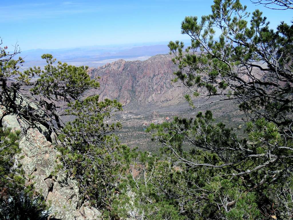
Chisos Basin Trailhead and the buildings around it.
I then saw a group of 10 or so university students come and go up the south tower so I decide to try the south tower. Went up the tower a little, then took everything off, hanging the big camera from my neck (which was a stupid thing to do since I could have taken pictures with my cell phone) climbing up a few more steps to reach where the lowest student was standing. Looking south at South Rim.
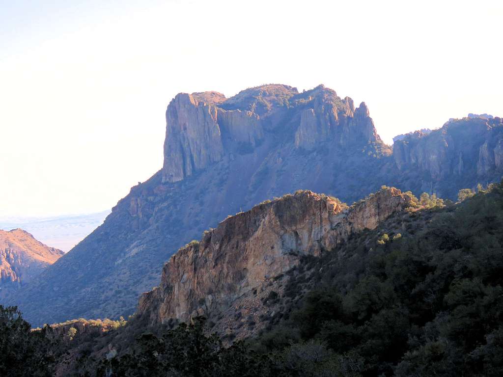
A crocked picture of Casa Grande, Lost Mine Peak and Crown Mountain.
Left at 1:20, getting back on the trail going downhill. Another view of Casa Grande and Pulliam Peak.
Crown Mountain.
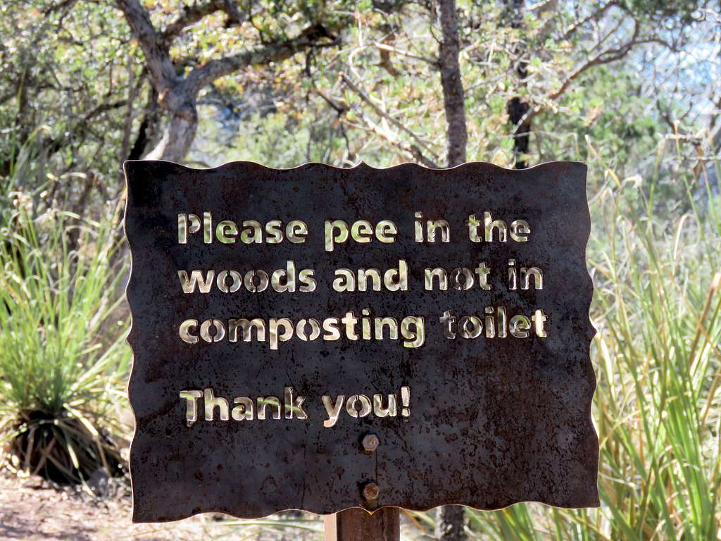
Reached the junction with main trail (Pinnacles Trail) at 2:05 p.m. and 12.4 miles. There were a number of composting toilets there with this strange sign.
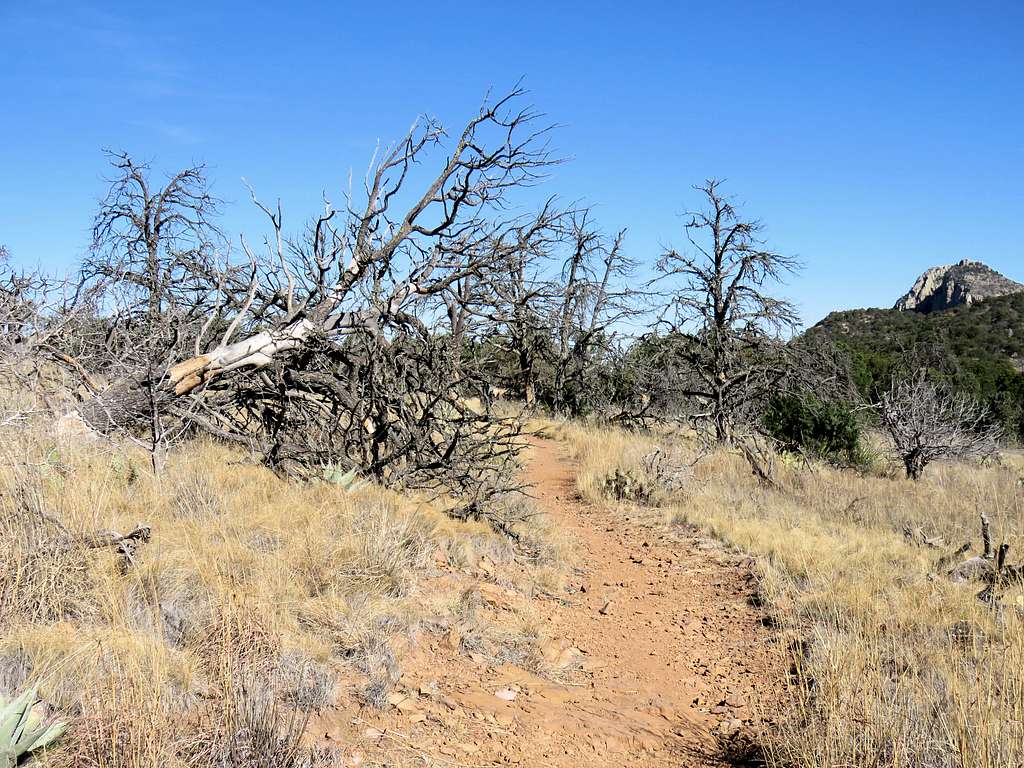
Got on Pinnacle Trail and headed north going down a number of switchbacks on a steep slope covered with a dense growth of vegetation. Obviously a lot of work had gone into construction of the trail in that area.
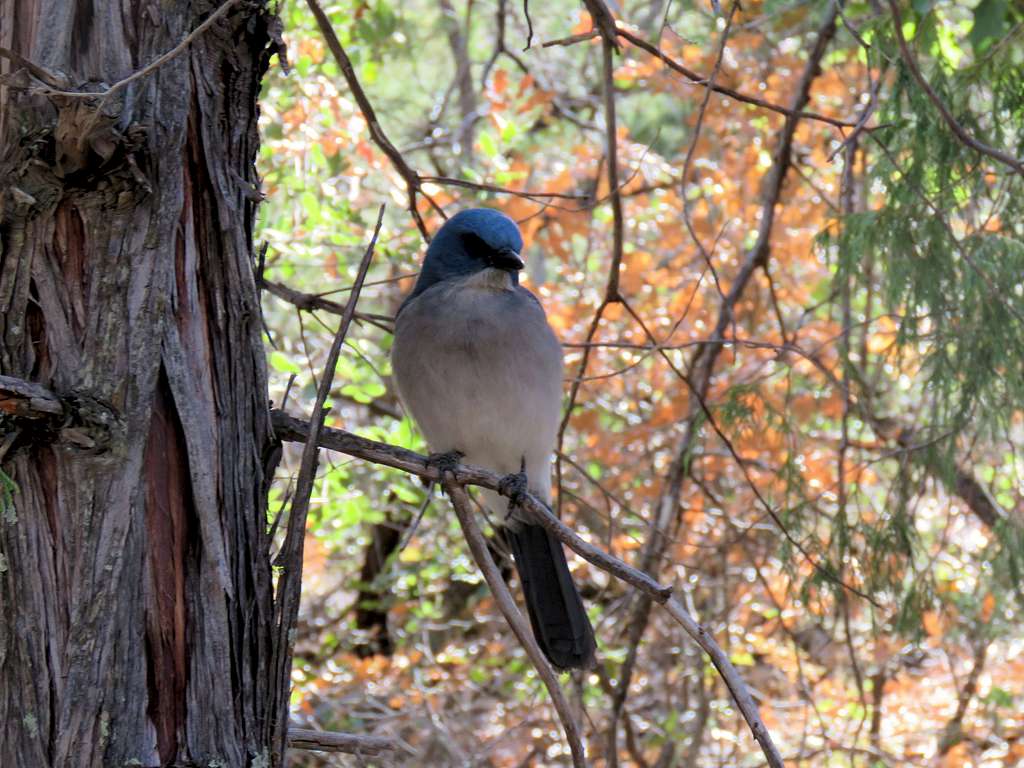
For the next hour or so I did not see any other hikers. The rail came down into a relatively flat area where I found an old couple resting. They said they had camped up in the mountain the previous night. As we were talking, found this cute little bird on a tree branch, They said it was a Mexican Jay.
Continuing down the trail, I reached an open area with great views of the surrounding mountains.
Another view of the Window.
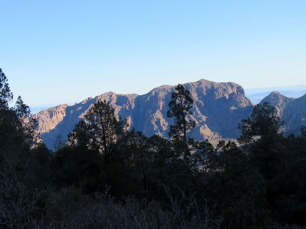
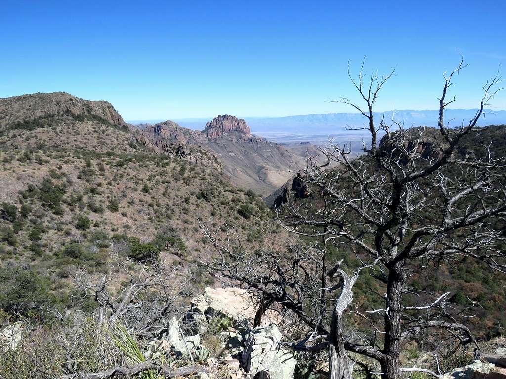
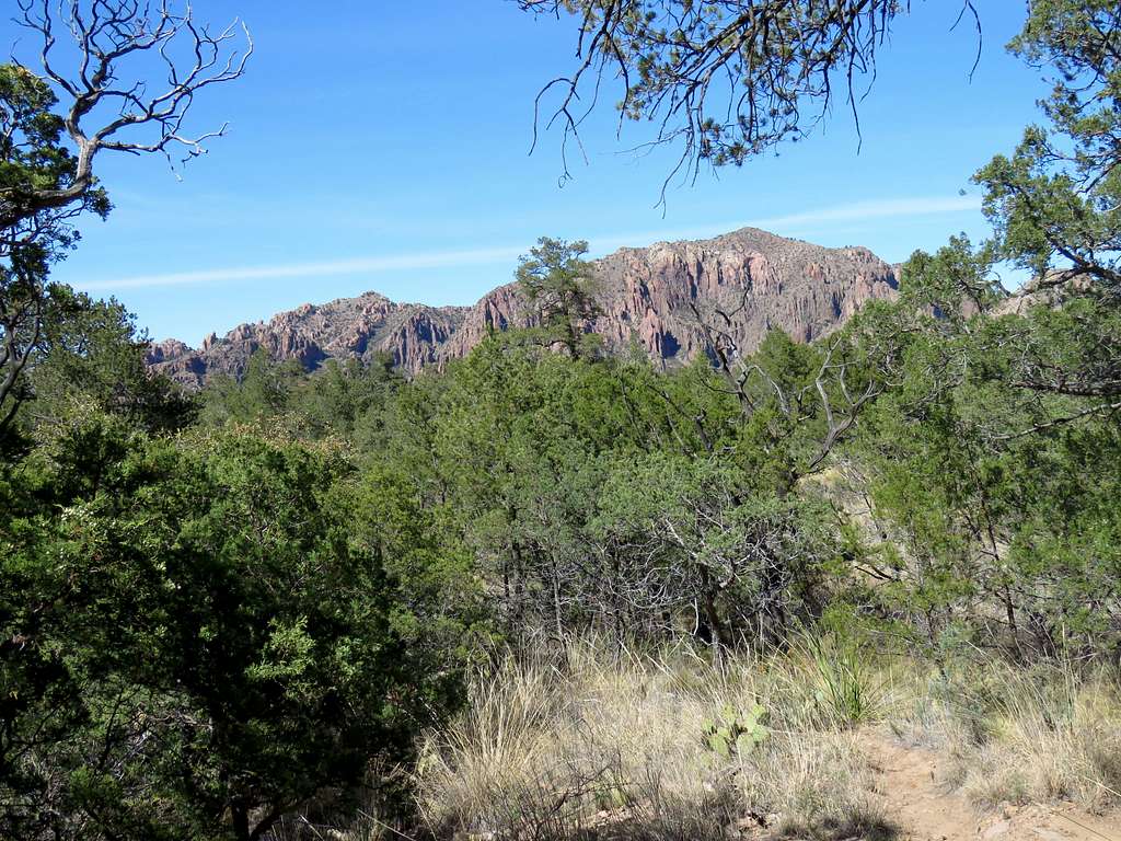
After hiking 15.1 miles, I reached a sign that said the trail had been rerouted. I had to go on a path that was different than what I had entered into my GPS. I was getting anxious thinking that I sure did not want to get lost that late in the day but in the end, the path brought me back to Laguna Meadows Trail near the trailhead. Another view of Emory Peak.
Reached my car at 3:55 p.m., 16.00 miles per my GPS. I was glad that I was able to do that long hike without any particular problems.