Page Type Page Type: Trip Report
Location Lat/Lon: 36.36660°N / 98.5787°W
Additional Information GPX File: Download GPX » View Route on Map
Activities Activities: Hiking
Seasons Season: Spring, Summer, Fall, Winter

Overview

Gloss Mountain:


Gloss Mountain is a flat-top mesa that rises 150-200 feet above the surrounding plains in northern Oklahoma to the west of the town of Enid. The mesa is half a mile long but no more than 150 feet wide (excluding a couple of wings). It rises to the north of US Route 412. A stairway starts on the south side of the mesa and goes to the top. My hike on the periphery of the mesa came out to a total of 1.85 miles.


Glass Mountains:


A much larger series of mesas called Glass Mountains rise on the south of US Route 412. When I was in the area, barbed wire blocked access to the Glass Mountains.


Getting There

From Enid, Oklahoma drive 40 miles west on US Route 412. Gloss Mountain State Park is on the north side of the road.

Route

The white stuff in the pictures is not snow.

At the parking lot.

From Parking lot
From Parking lot

Gloss Mountain from the parking area.

Gloss Mountain from parking

Trail/stairway to the top.

Trail/Stairway to top

Parking area from the top.

Parking from top of mesa

Views from the top.

From top of mesa
From top of mesa
From top of mesa
From top of mesa
High point on top, looking north
From top of mesa
From top of mesa
Lone Peak from top of mesa
From top of mesa
From top of mesa
Lone Peak from top of mesa
From top of mesa
From top of mesa


Red Tape

No Fees or permits

When to Climb

Any time. 


Comments

Post a Comment
Viewing: 1-5 of 5
utahjimk

utahjimk - Feb 5, 2021 6:44 am - Voted 10/10
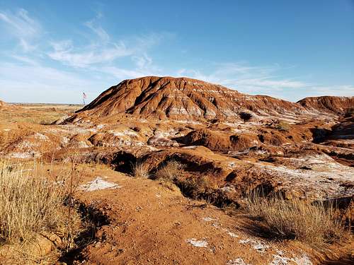
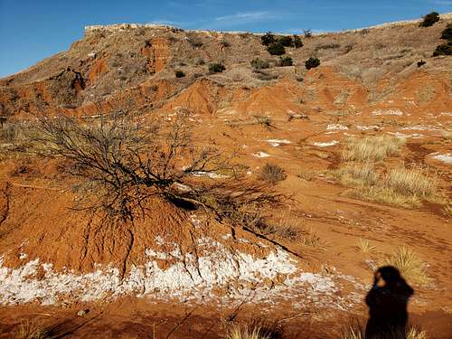
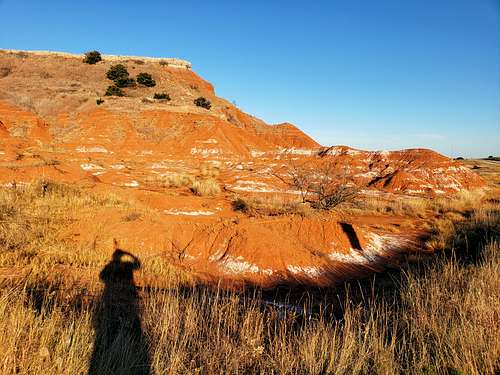
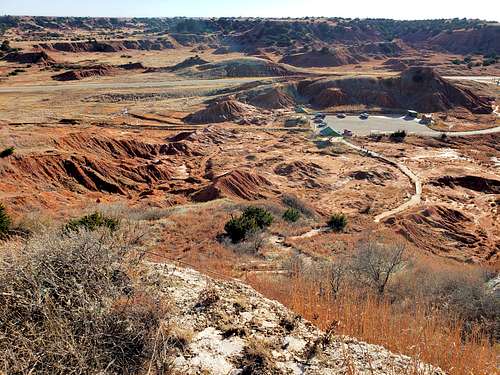
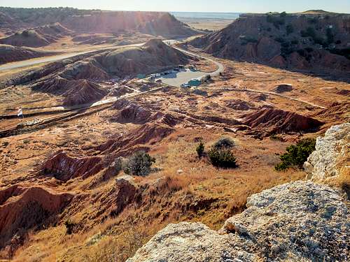
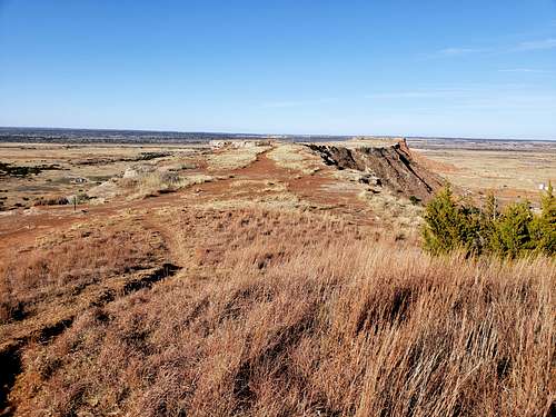
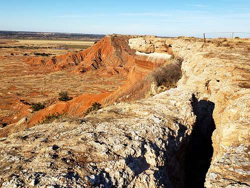
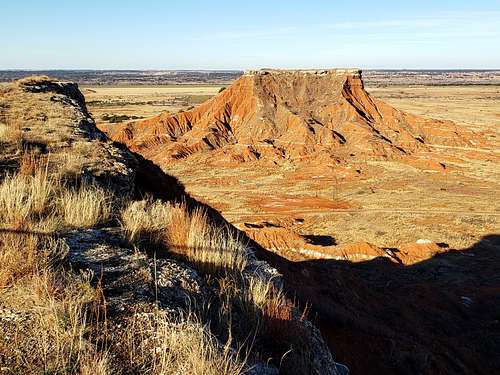
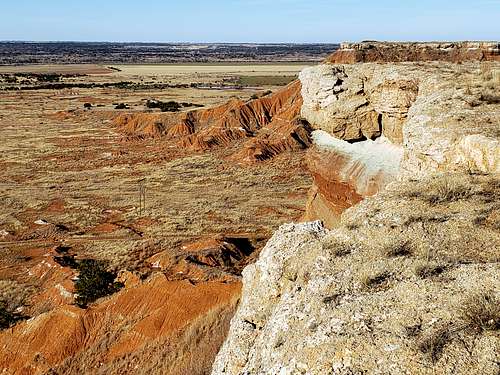
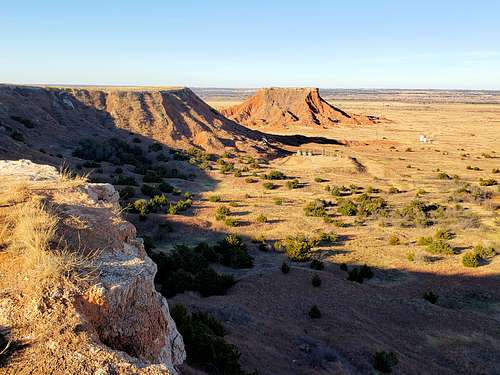
not snow

either some type of salt or gypsum. Gypsum crystals are fairly common in certain formations of southern Utah such as the Mancos shale (badlands).

nader

nader - Feb 5, 2021 3:57 pm - Hasn't voted

Re: not snow

Thanks

JohnMcPike

JohnMcPike - Feb 25, 2021 9:55 pm - Voted 10/10

Page already created

Cathedral Mountain

nader

nader - Feb 26, 2021 5:56 am - Hasn't voted

Re: Page already created

Before creating a page I always look to make sure that it does not already exist. Gloss Mountain did not exist by name. Nothing was on the map by geographic coordinates either. Where is this Cathedral Mountain that you talk about and what is its connection to Gloss Mountain? Can you provide a link please?

nader

nader - Feb 26, 2021 11:09 am - Hasn't voted

Re: Page already created

Found your page. Will be busy over the next week or so. I will probably change my page to a trip report.

Thanks

Viewing: 1-5 of 5


Parents 

Parents

Parents refers to a larger category under which an object falls. For example, theAconcagua mountain page has the 'Aconcagua Group' and the 'Seven Summits' asparents and is a parent itself to many routes, photos, and Trip Reports.