
|
|
Canyon |
|---|---|
|
|
34.93460°N / 111.8501°W |
|
|
Hiking |
|
|
Spring, Summer, Fall, Winter |
|
|
Overview
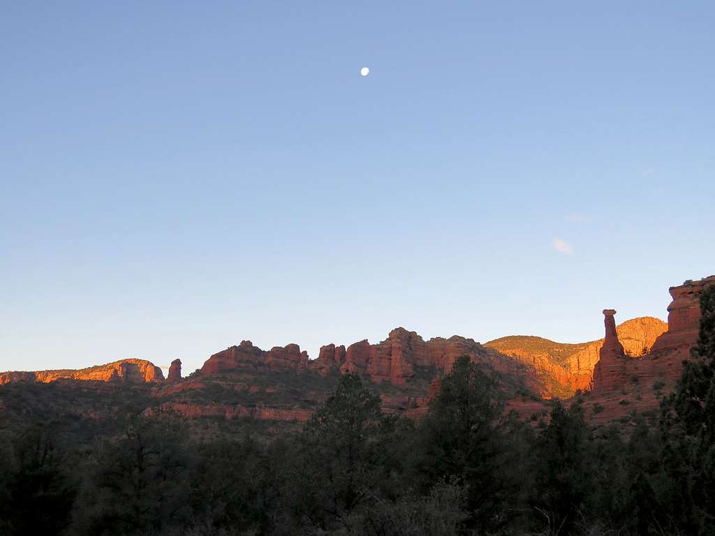
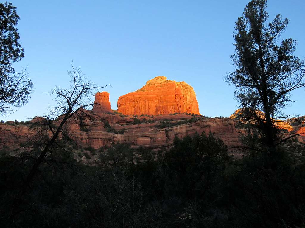
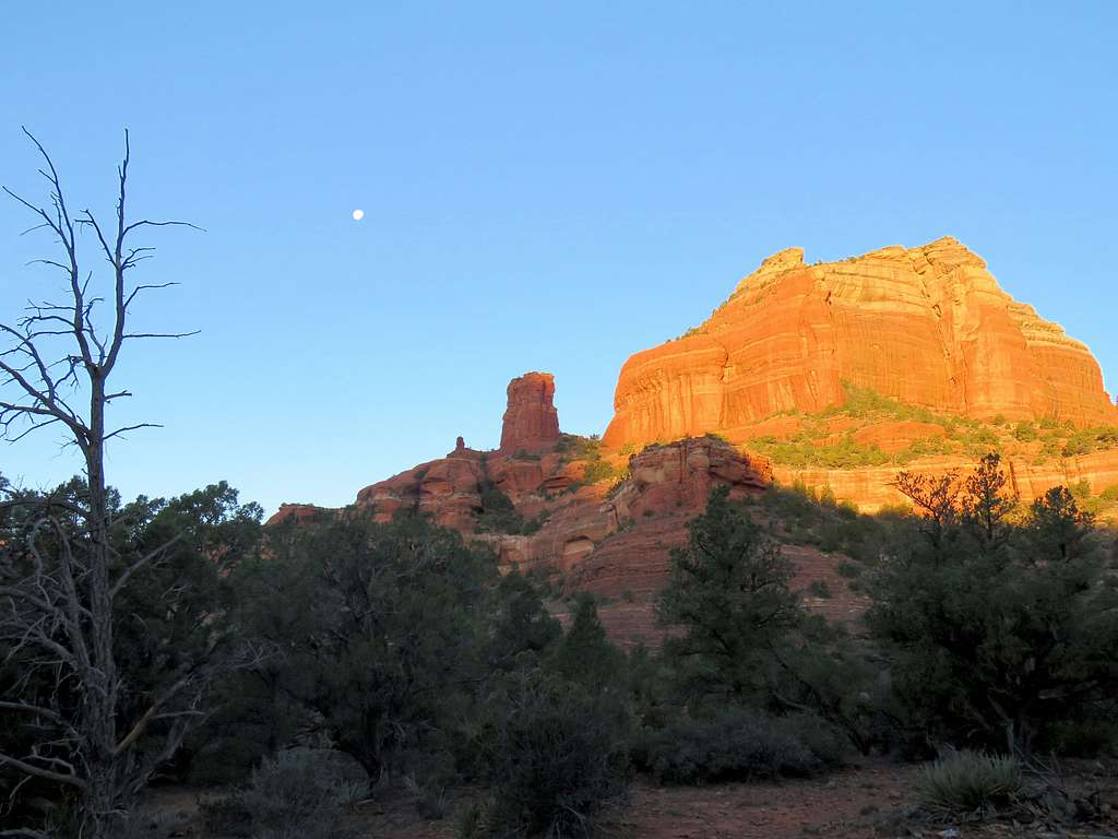
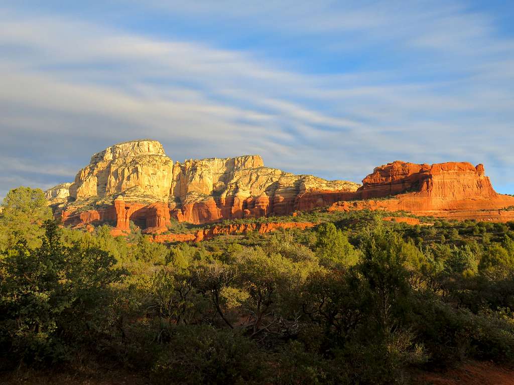
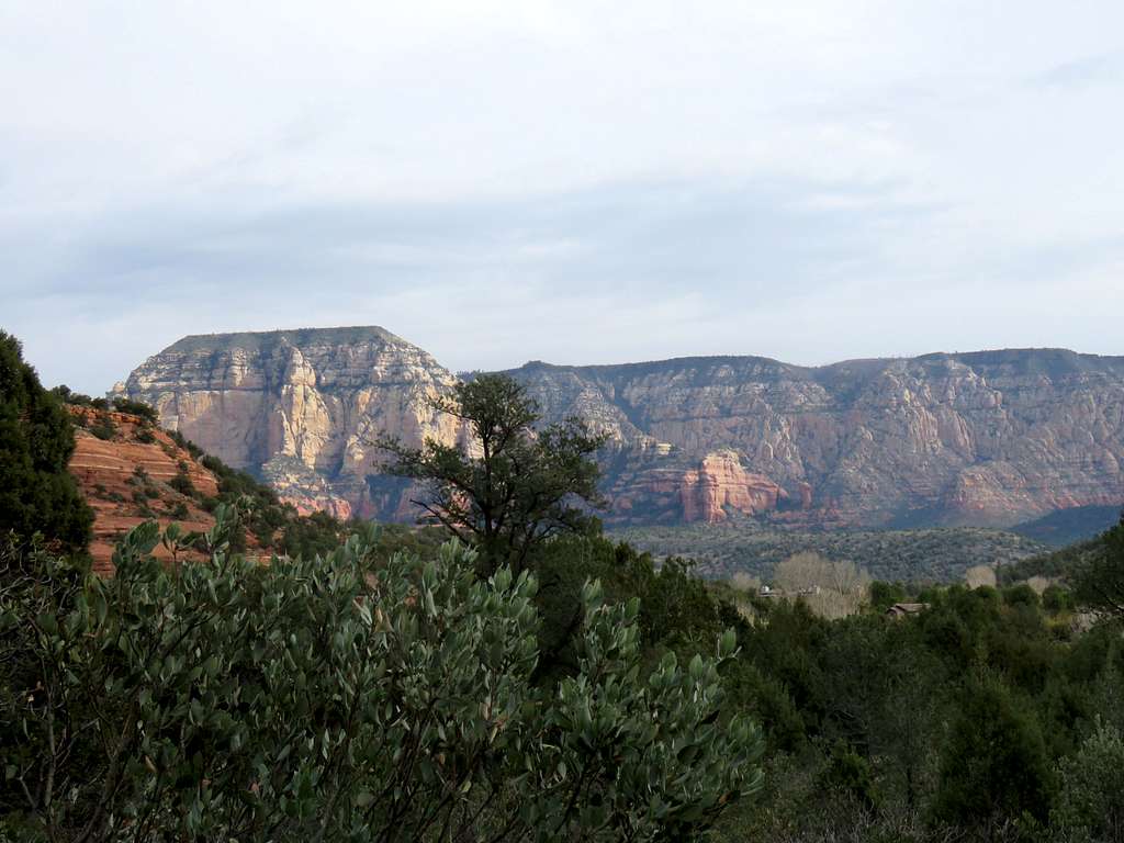
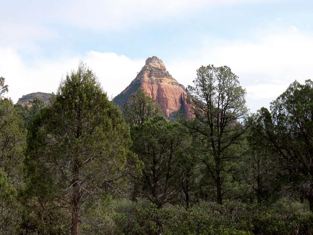
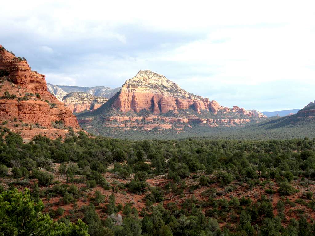
Long Canyon
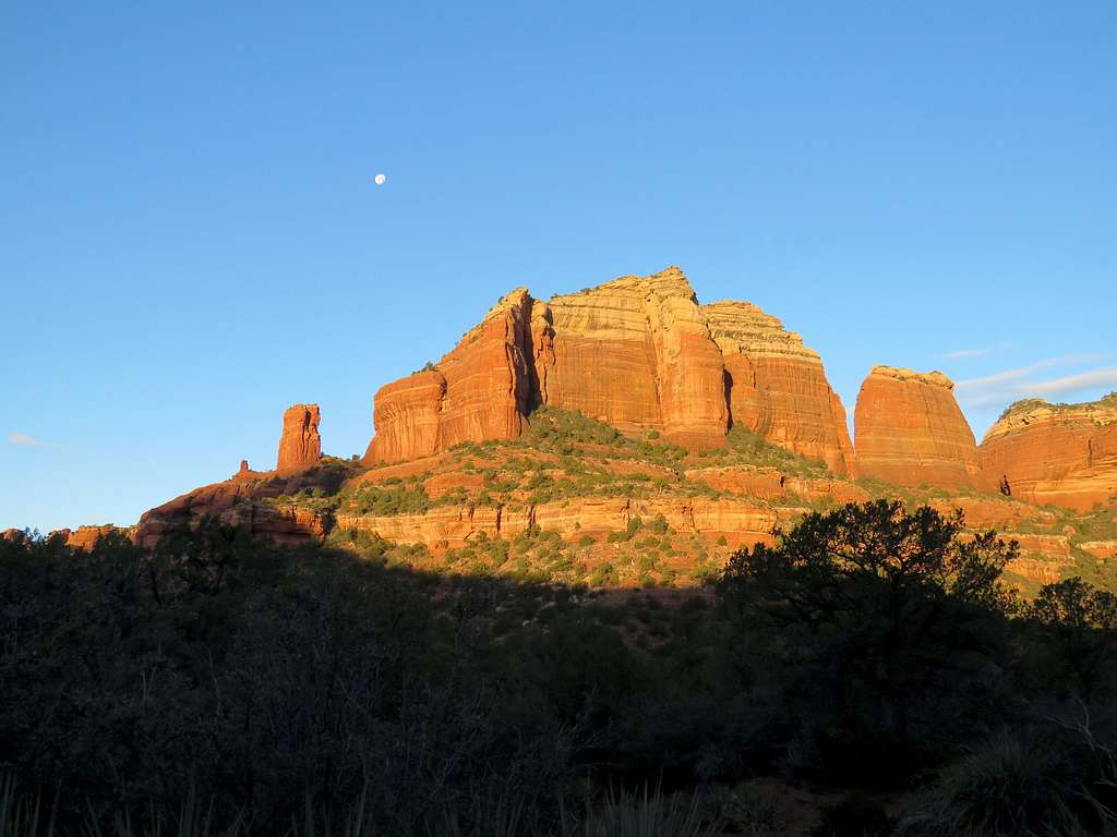
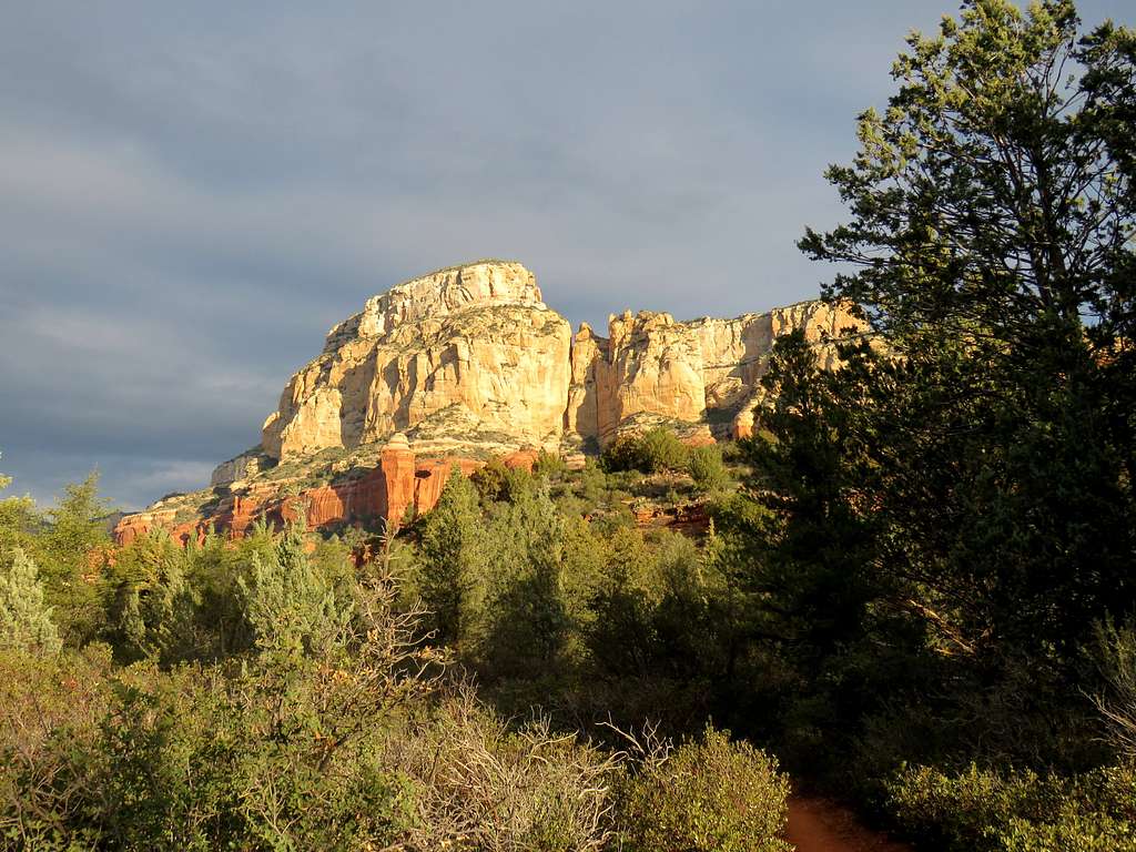
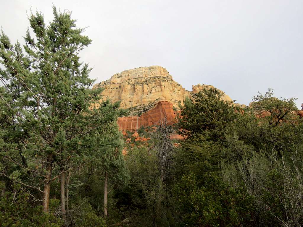
Long Canyon is a popular hike that sits parallel to the nearby Boynton Canyon to the northwest of Sedona, Arizona. This description start at the trailhead for Boynton Canyon where a trail takes you 1.5 miles northeast to reach the mouth of Long Canyon. The trail then turns northwest and goes 2.5 miles and 800 vertical feet up the canyon to near the head-walls of the canyon where a sign announces the end of the trail.
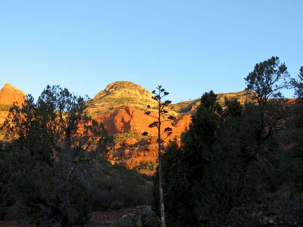
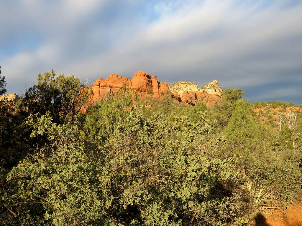
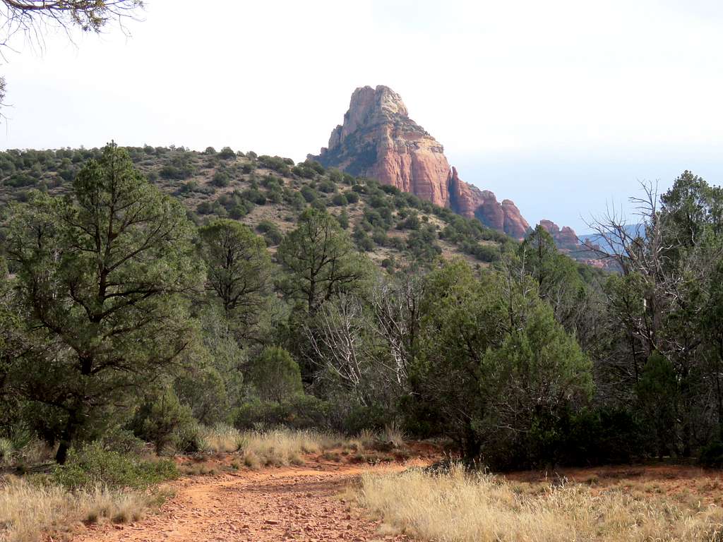
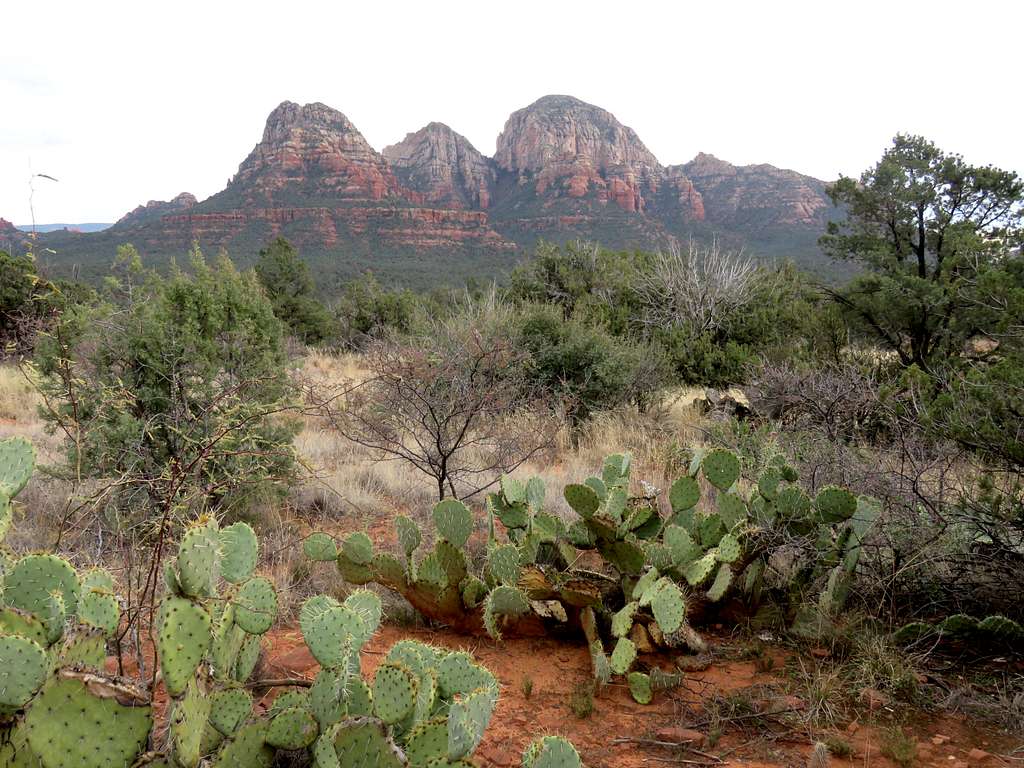
Mescal Mountain Trail
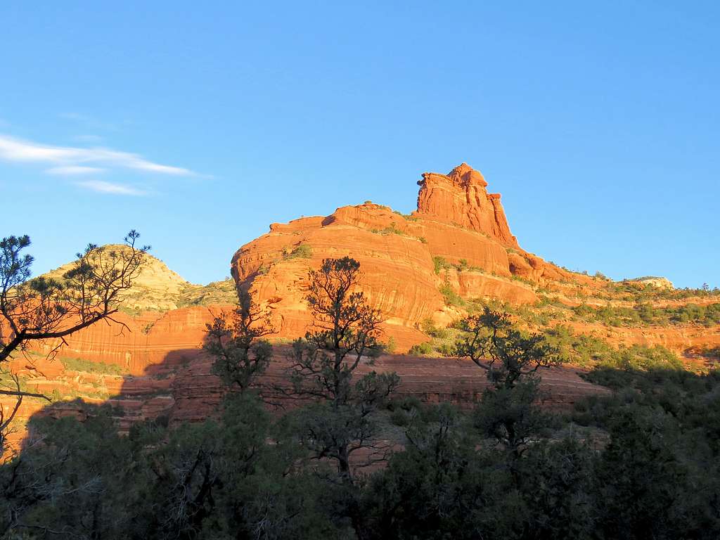
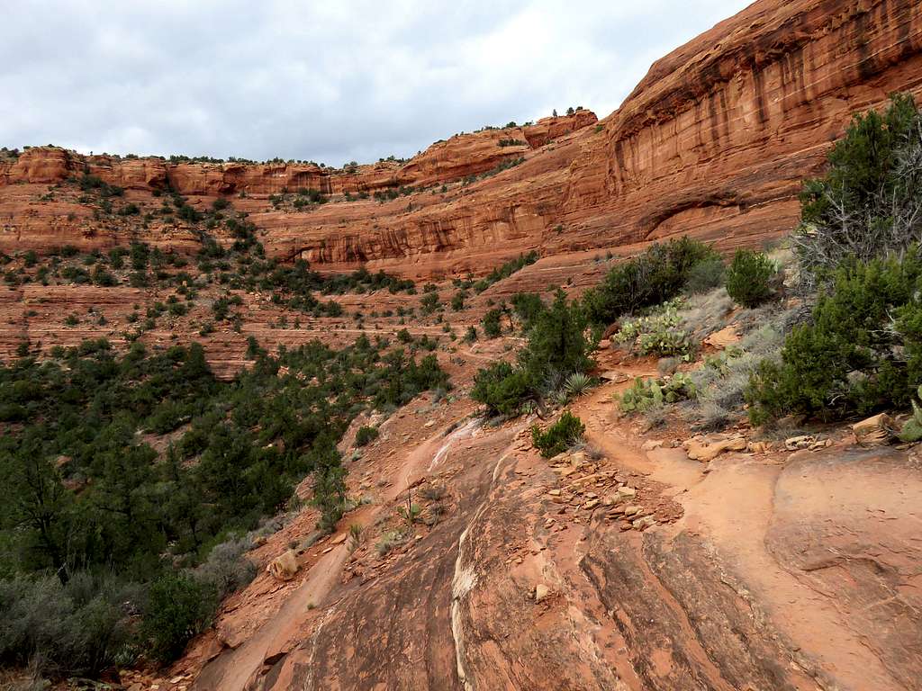
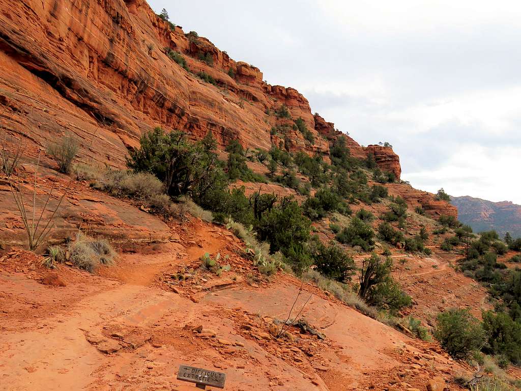
Mescal Mountain is a small mesa near Long Canyon. The trail does not go to the summit of the mountain but goes around it traversing the southern slopes/walls of the mountain on a “catwalk” that gives great views of the surroundings. This trail can be combined with a hike in Long Canyon.
Getting There
Directions to Boynton Canyon Trailhead:
From the intersection of Routes 89A and 179 (The “Y”) in Sedona, drive 3 miles west on Route 89A to Dry Creek Road. Turn right (north) onto Dry Creek Road and drive roughly 3 miles to reach a T. Turn left onto Boynton Pass Road and drive to reach another T. Turn right and go 200 yards to the signed parking area.
Route Info
The hike described here is 11.1 miles long.
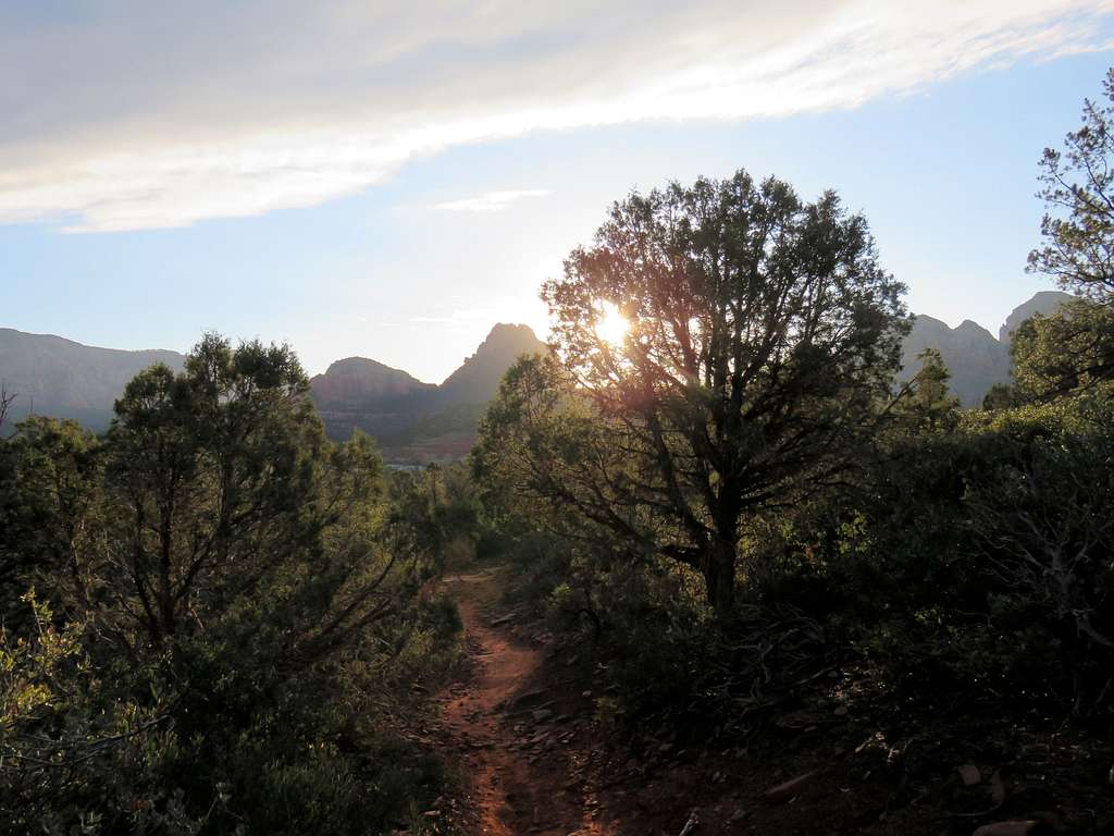
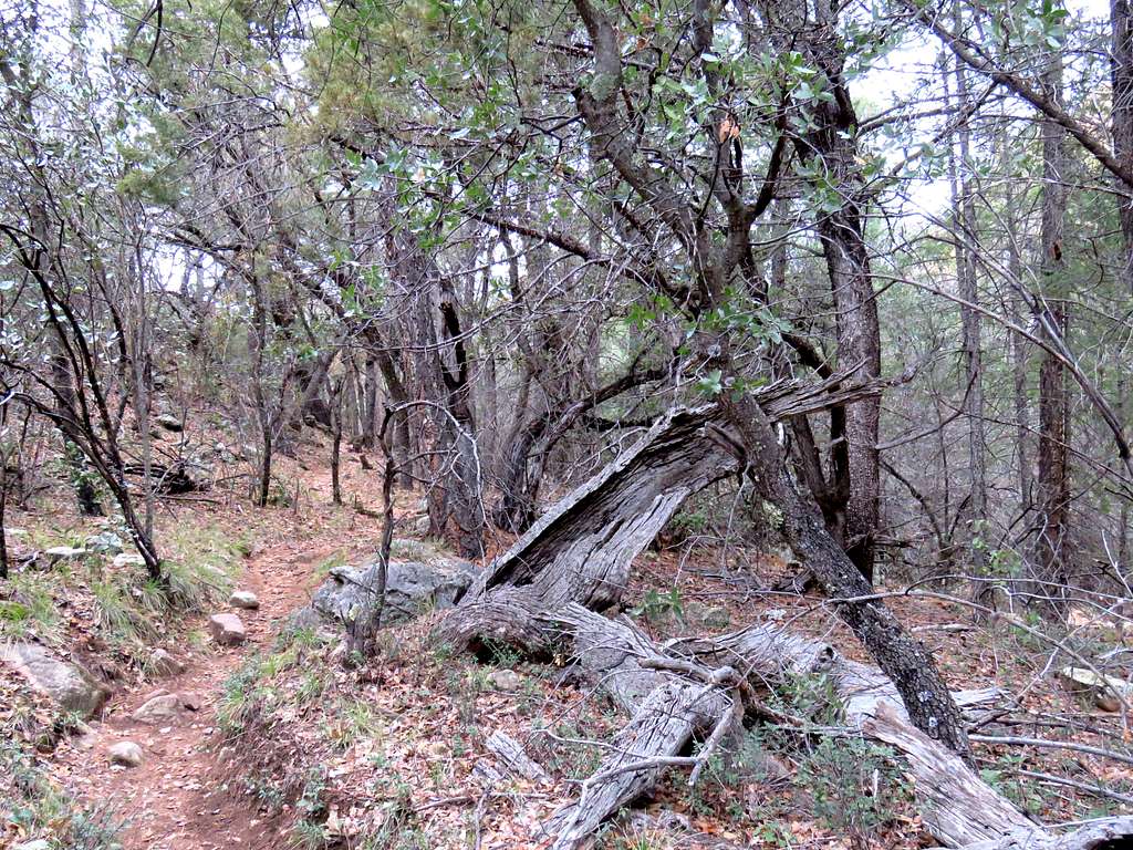
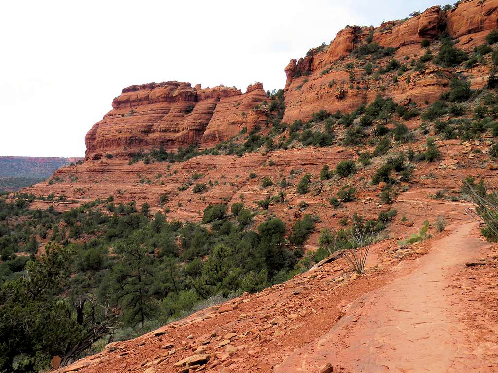
From Boynton Canyon Trailhead, get on Deadman’s Pass Trail and follow it northeast going slightly up in elevation.
At a high point known as Deadman’s Pass, the trail goes down a short distance to reach Long Canyon Trail.
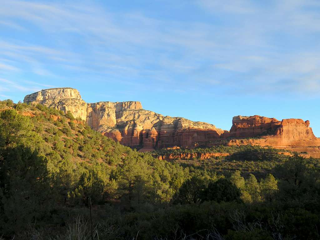
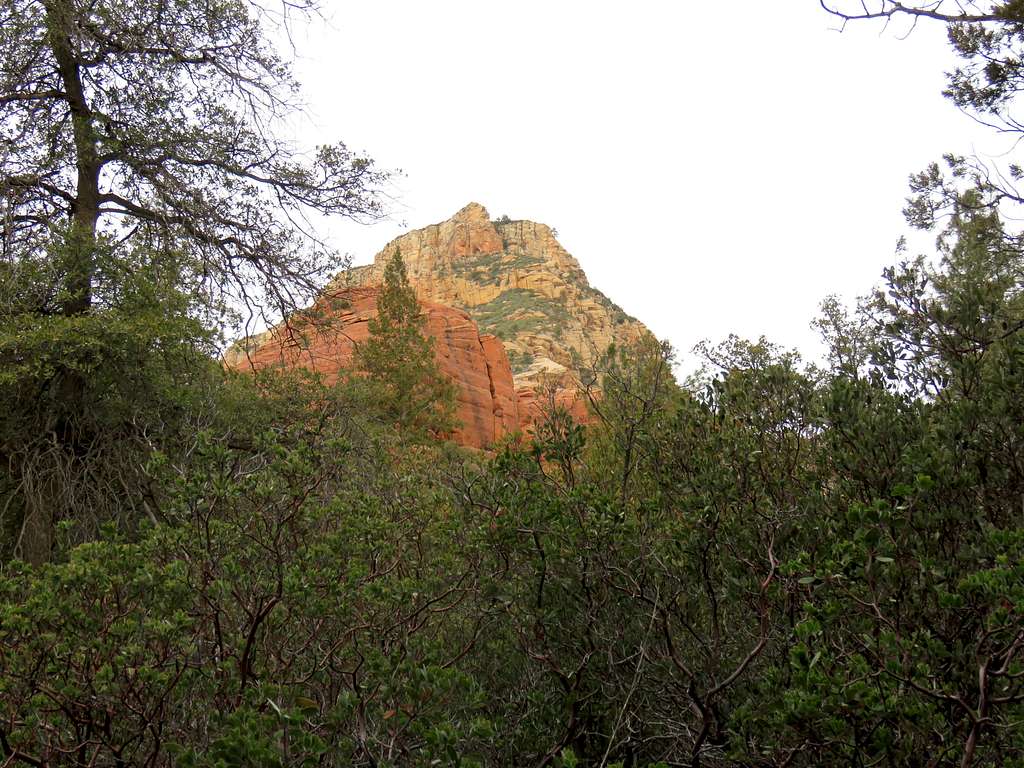
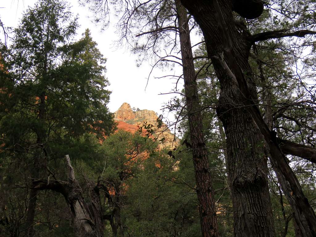
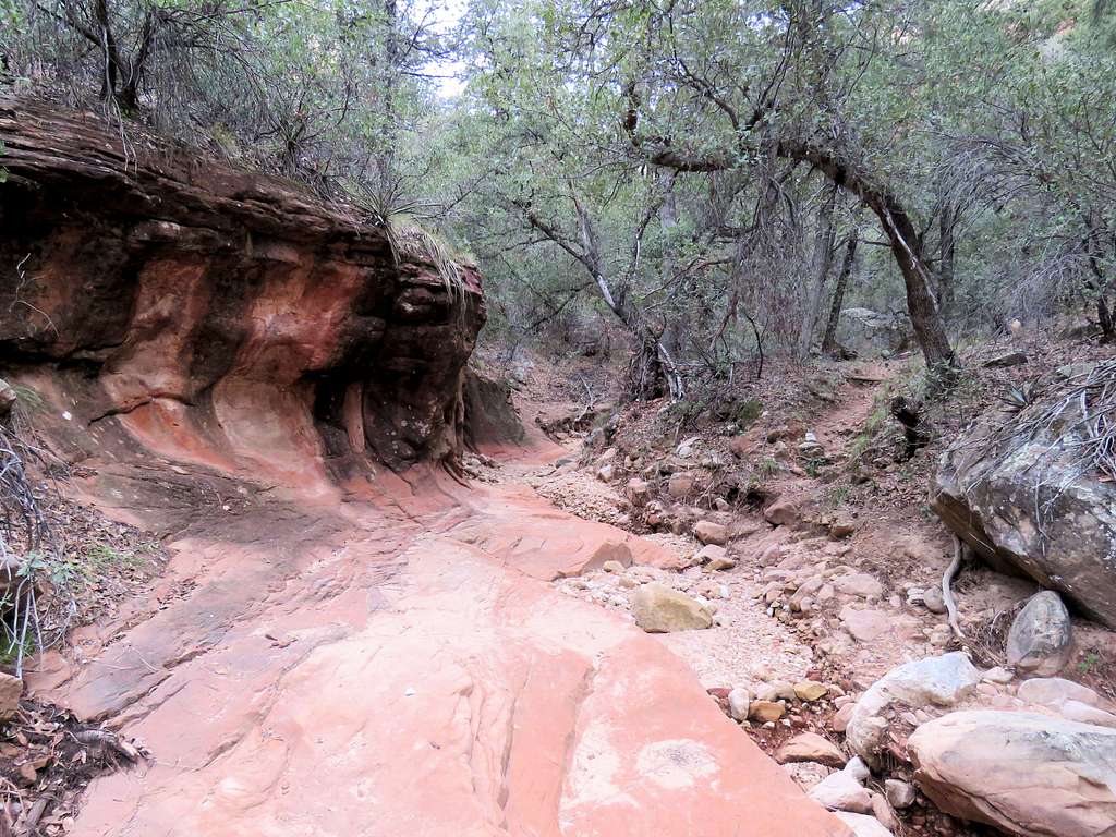
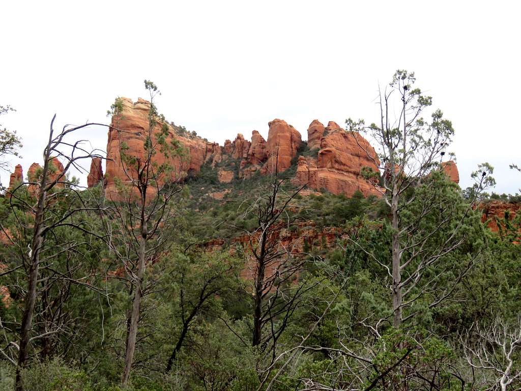
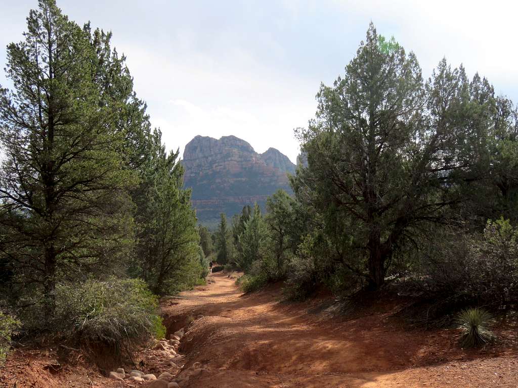
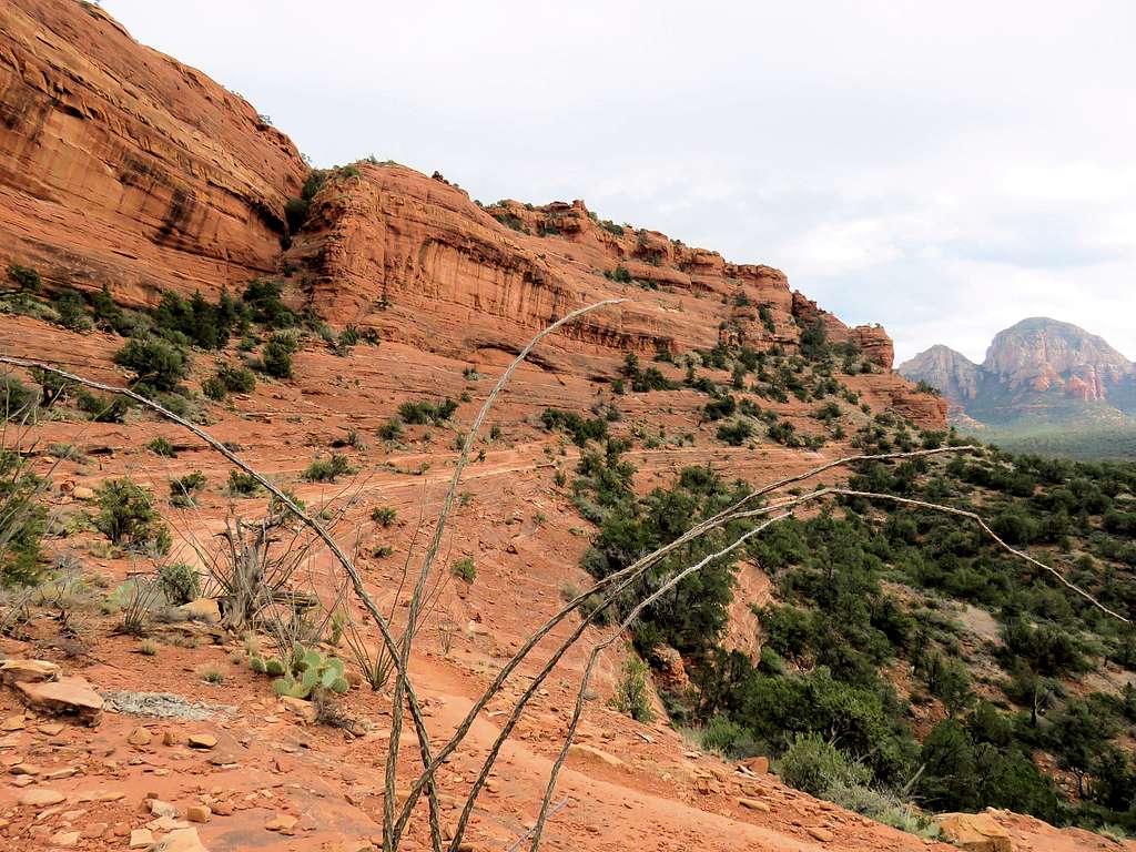
You will then reach Long Canyon Trail. Turn left (northwest) and follow the trail into the canyon. The canyon is at first wide open.
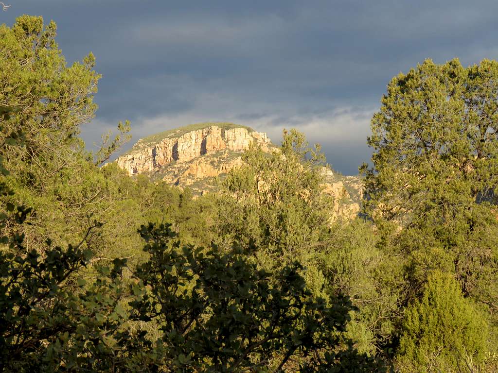
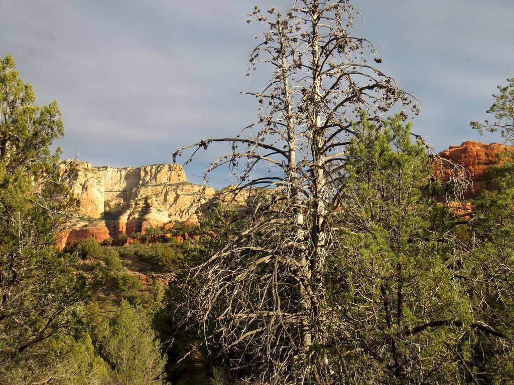
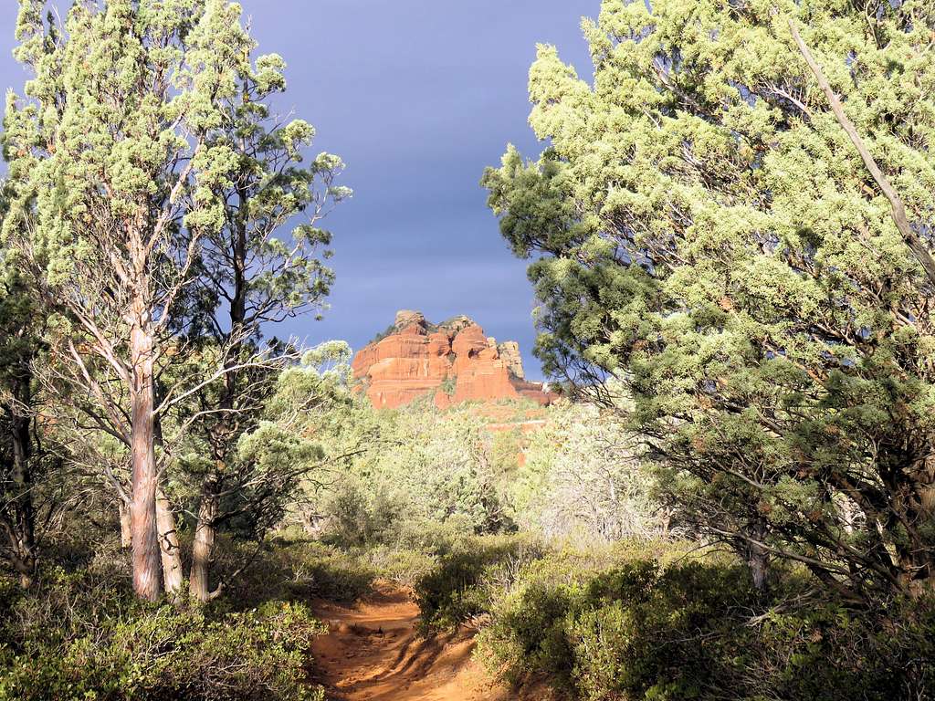
Farther in, the canyon gets tight. Follow the trail to the end.
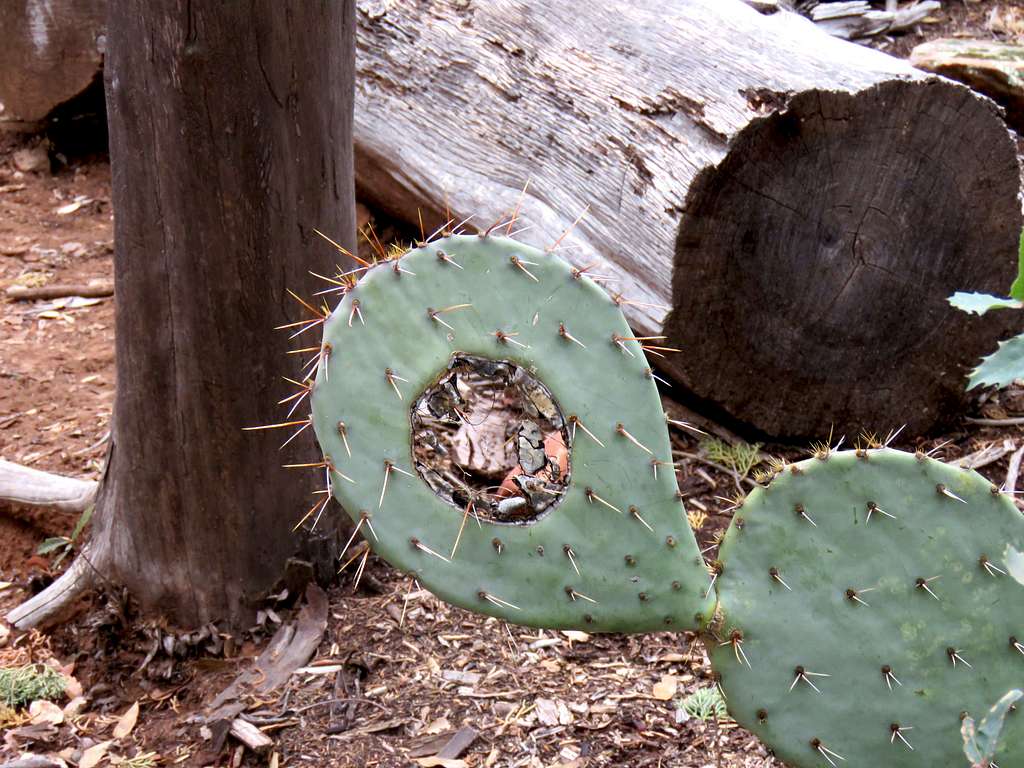
Hole in cactus.
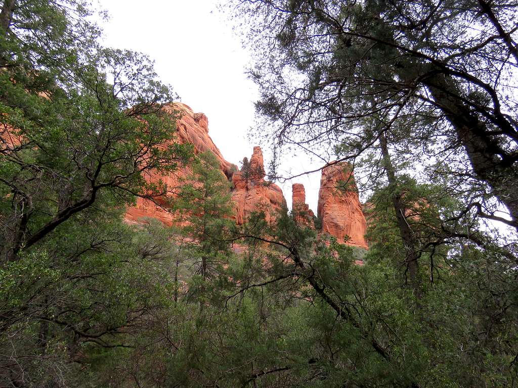
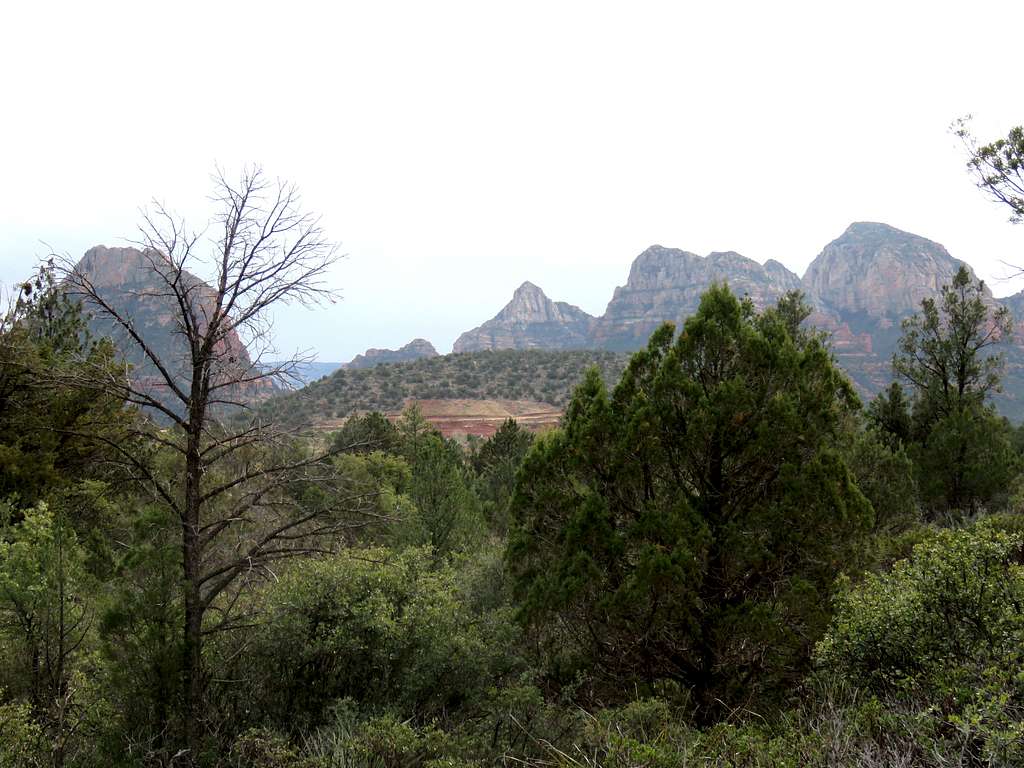
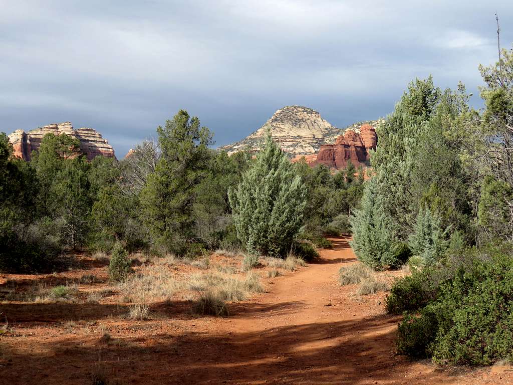
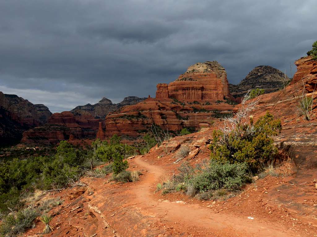
You can then retrace your way out of Long Canyon and find your way onto the network of trails around Mescal Mountain. Pictures from around Mescal Mountain.
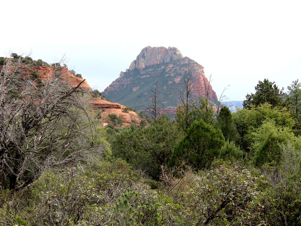
The catwalk on the south side of Mescal Mountain.
You will then reach Deadman’s Pass Trail and back to the starting point.