|
|
Canyon |
|---|---|
|
|
34.93240°N / 111.9247°W |
|
|
Hiking |
|
|
Spring, Summer, Fall, Winter |
|
|
Overview
Loy Canyon sits to the northwest of Sedona, Arizona. A 5.2 mile long trail takes you 1900 vertical feet up the canyon to the top of a large forested plateau 6600 ft high known as Secret Mountain. Once on top of Secret Mountain, I went another 1.5 miles in the trail-less forest to reach the edge of the plateau where I found good views of Secret Canyon. If you leave trail, make sure you can find it on your way back. The trail is probably the only way down the walls of the top plateau.
Getting There
From the intersection of Route 89A and 179 in Sedona, drive just less than 10 miles west on Route 89A and turn right (north) onto Loy Butte Road (Road 525). Drive this dirt road 10 miles north past many intersections as noted on the map below to reach Loy Canyon Trailhead. When I drove the road, I found the first 8 miles well graded but the last 2 miles became fairly rough (did not require 4 wheel drive).
Route
Roundtrip Hiking Distance: 13.6 miles
Total Elevation Gain: 2530 ft
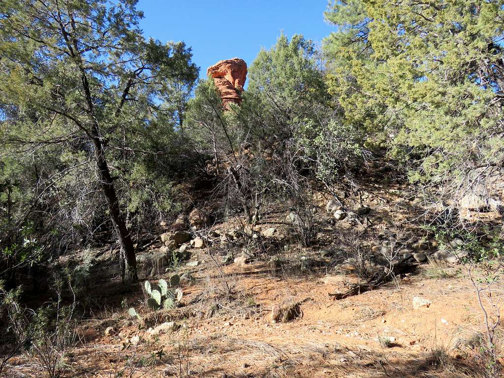
Loy Butte will be visible near Trailhead.
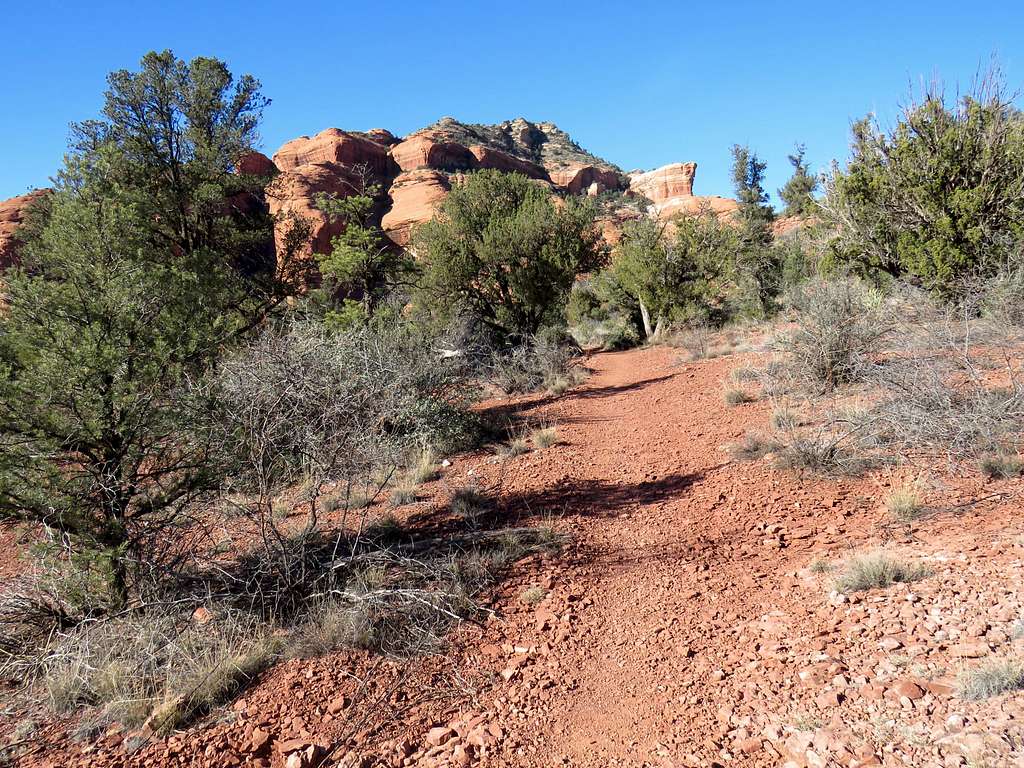
Follow the trail north in a relatively open area with good red-rock views.
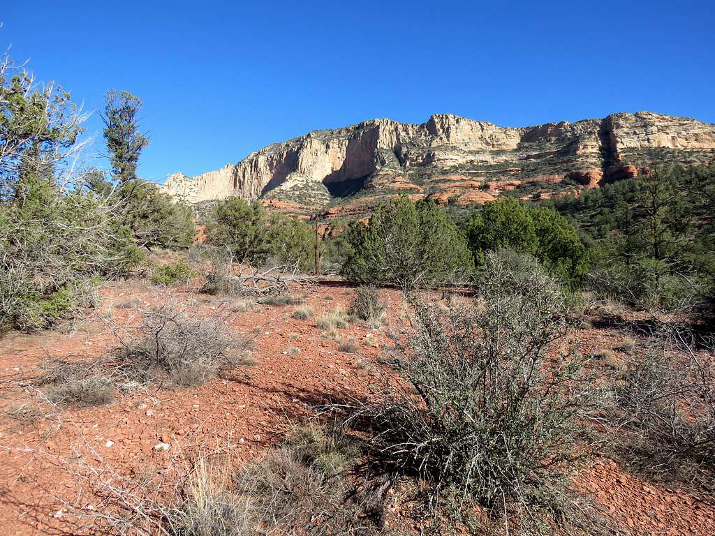
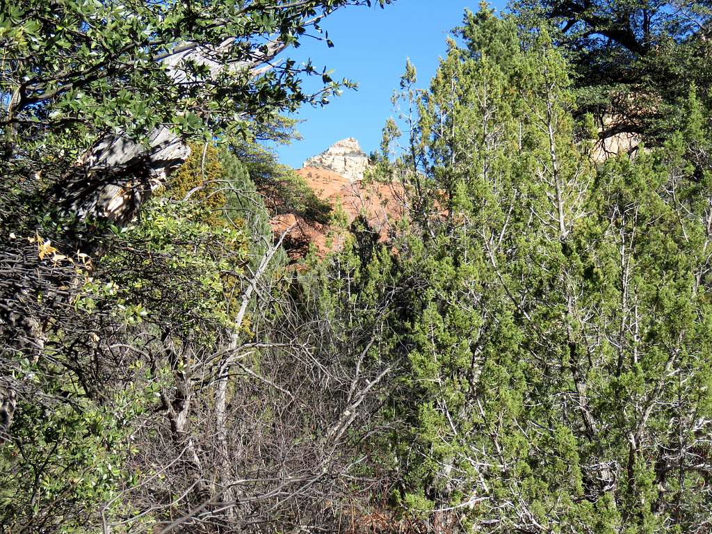
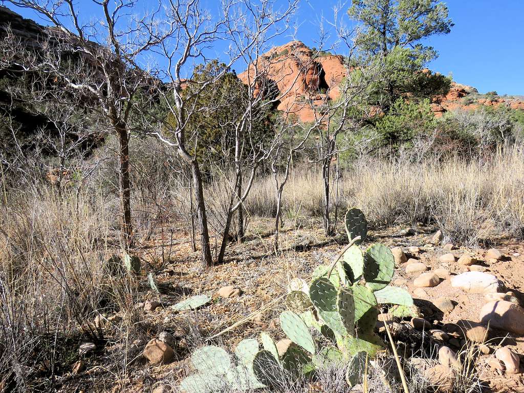
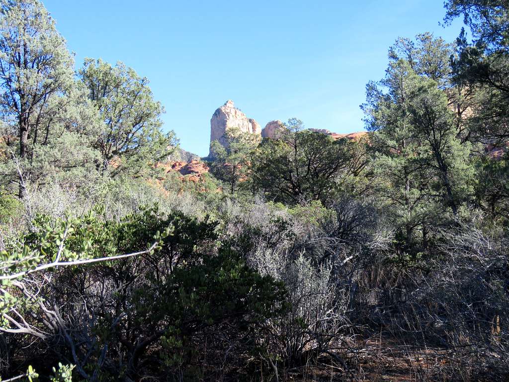
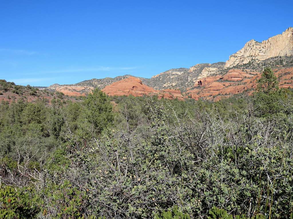
As you go, a canyon begins to form.
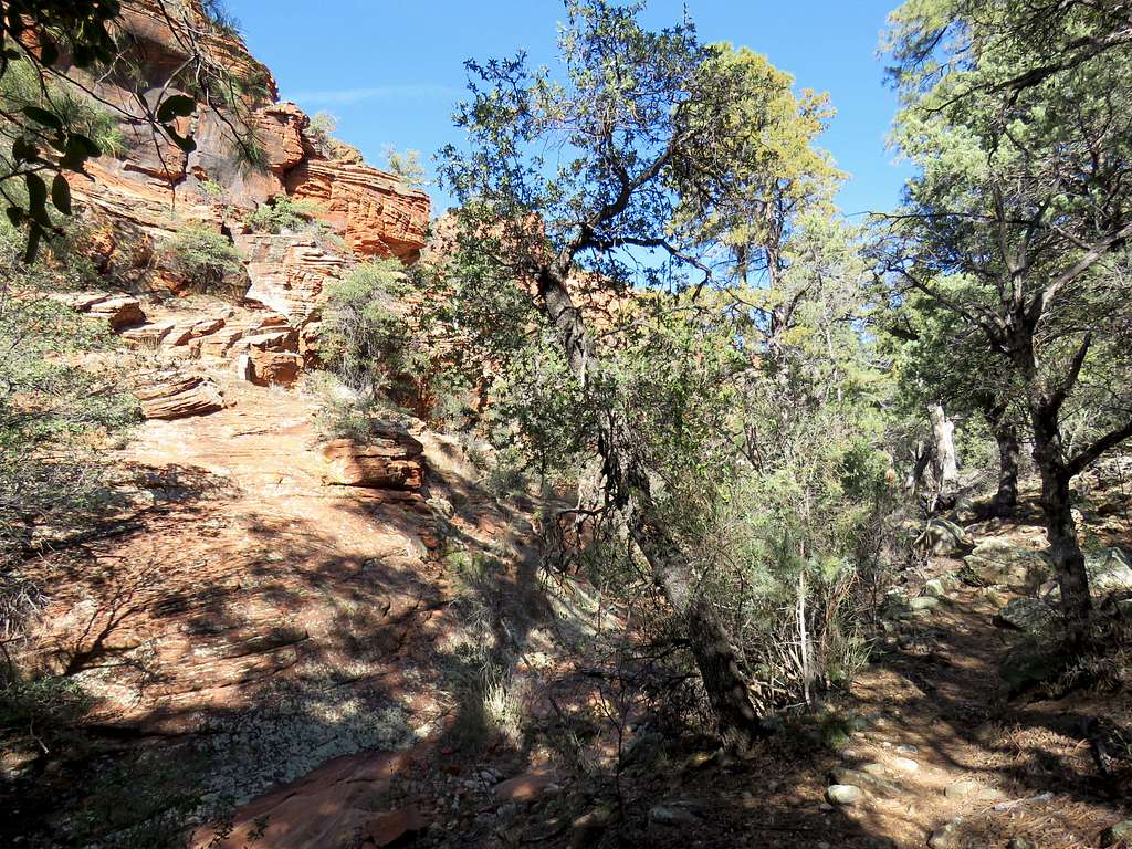
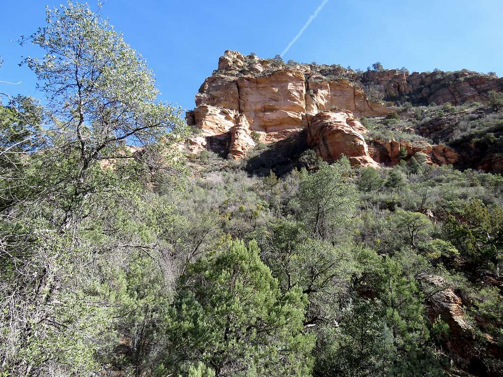
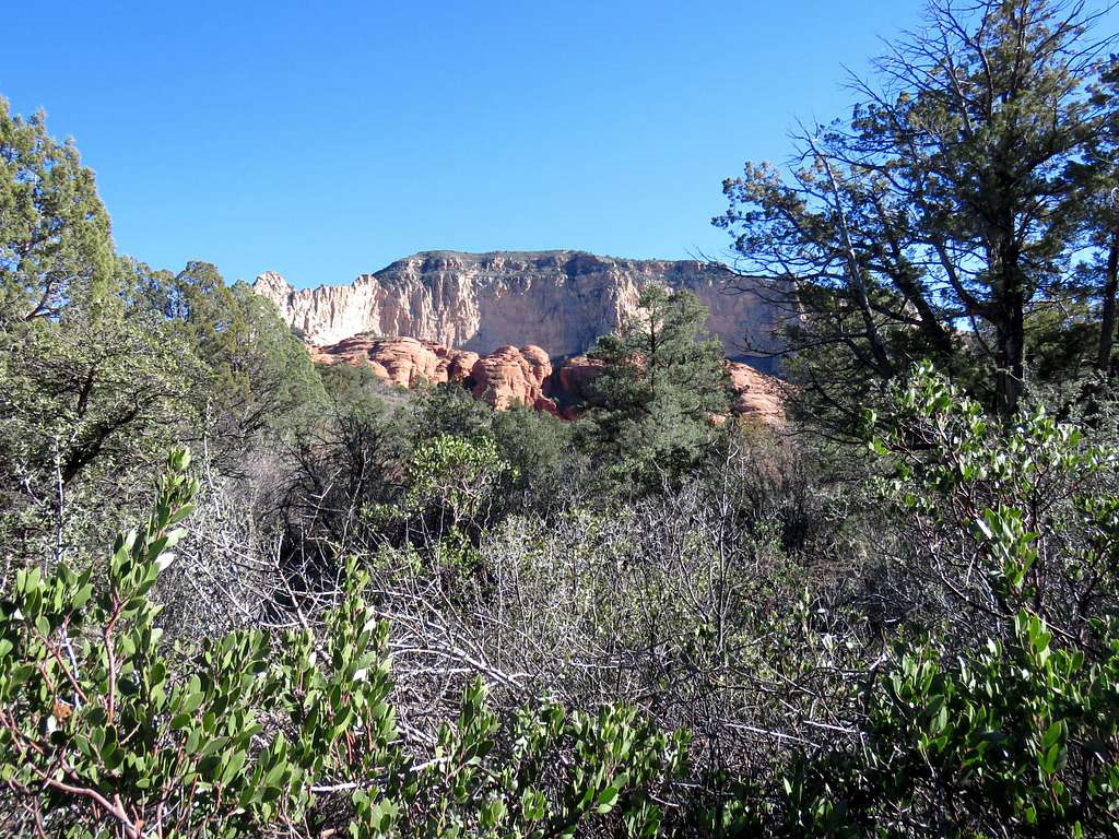
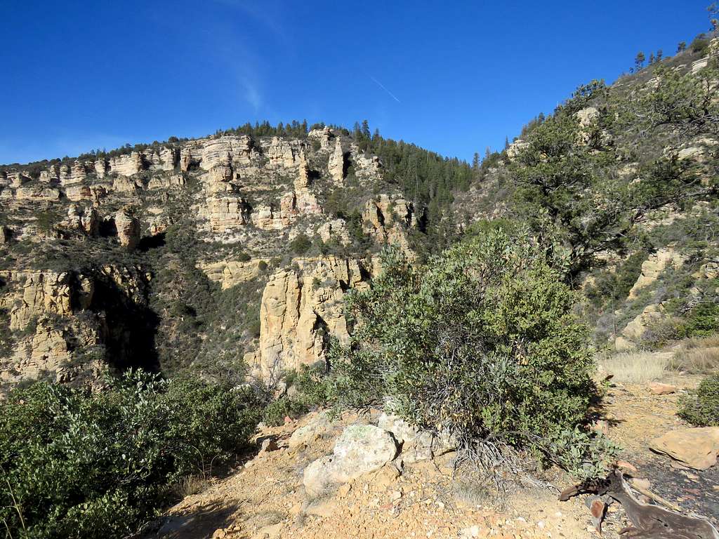
After 4 miles of hiking, you have climbed only 900 vertical feet. Over the next 1.2 miles, the trail will take you up another 1000 vertical feet. The trail gets into a tight canyon and begins to climb the walls of the canyon.
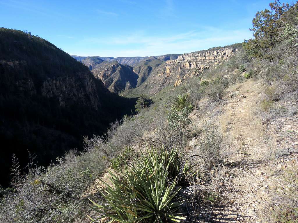
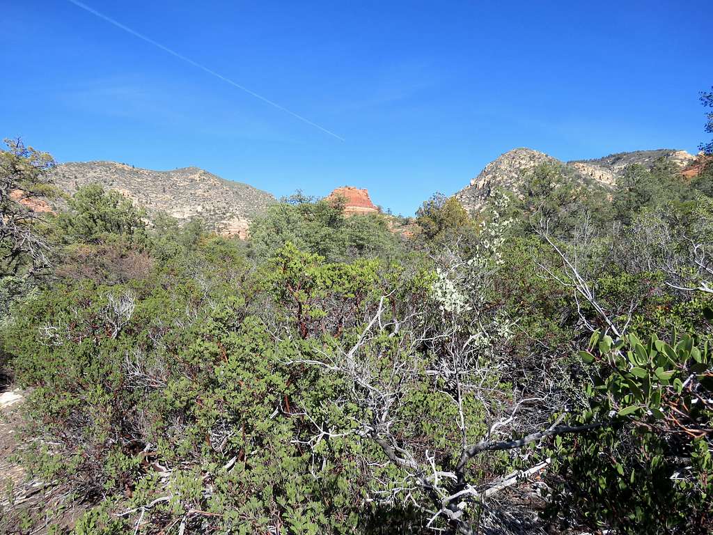
You can look east to see a 6420 ft saddle where the trail goes.
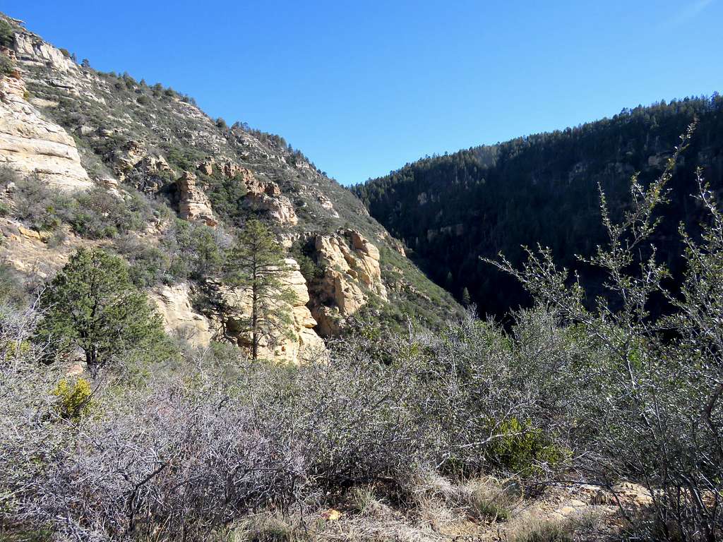
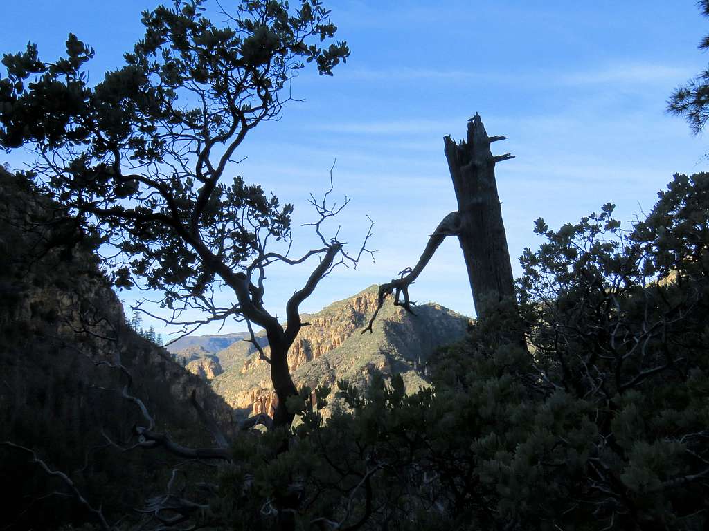
Looking down into the canyon.
After 5 miles, a conifer forest starts and you will reach the 6420 ft saddle. A trail goes north to Bunker Hill and another south to Secret Mountain. Turn south and follow the trail up in the forest.
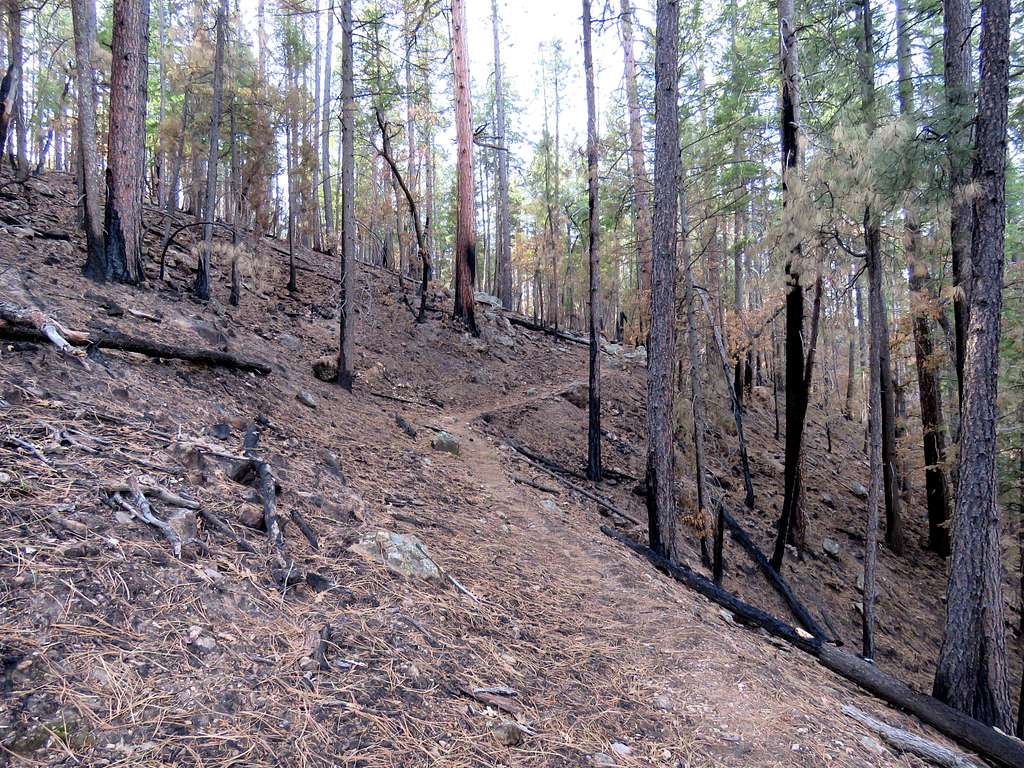
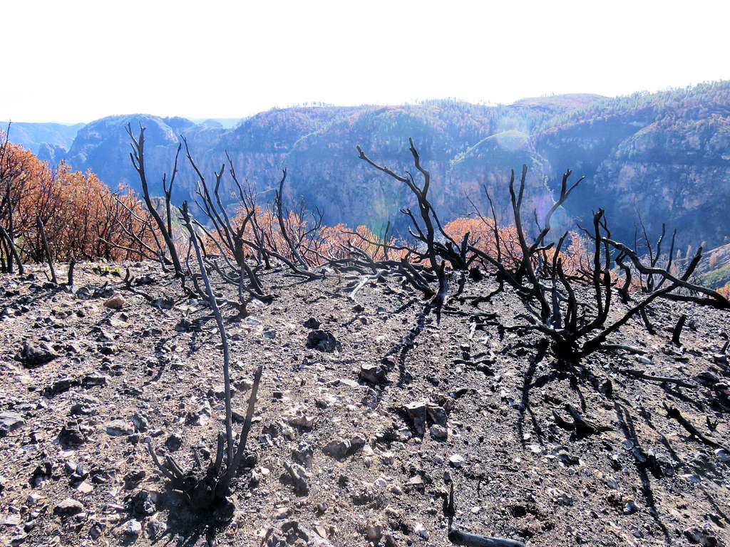
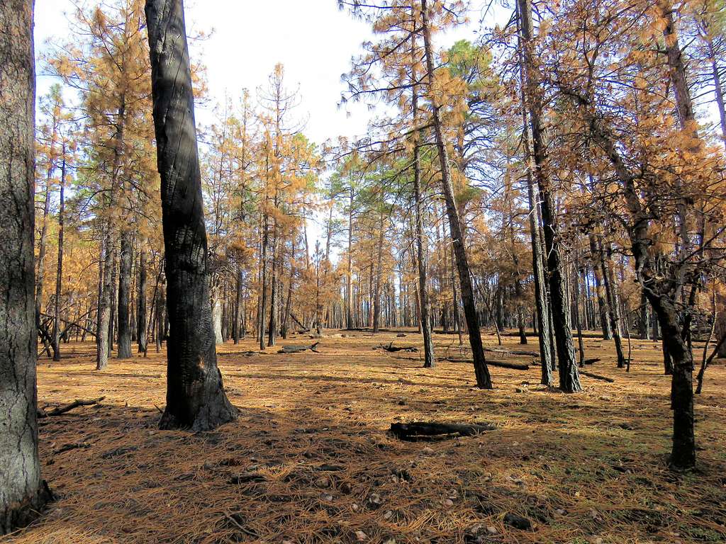
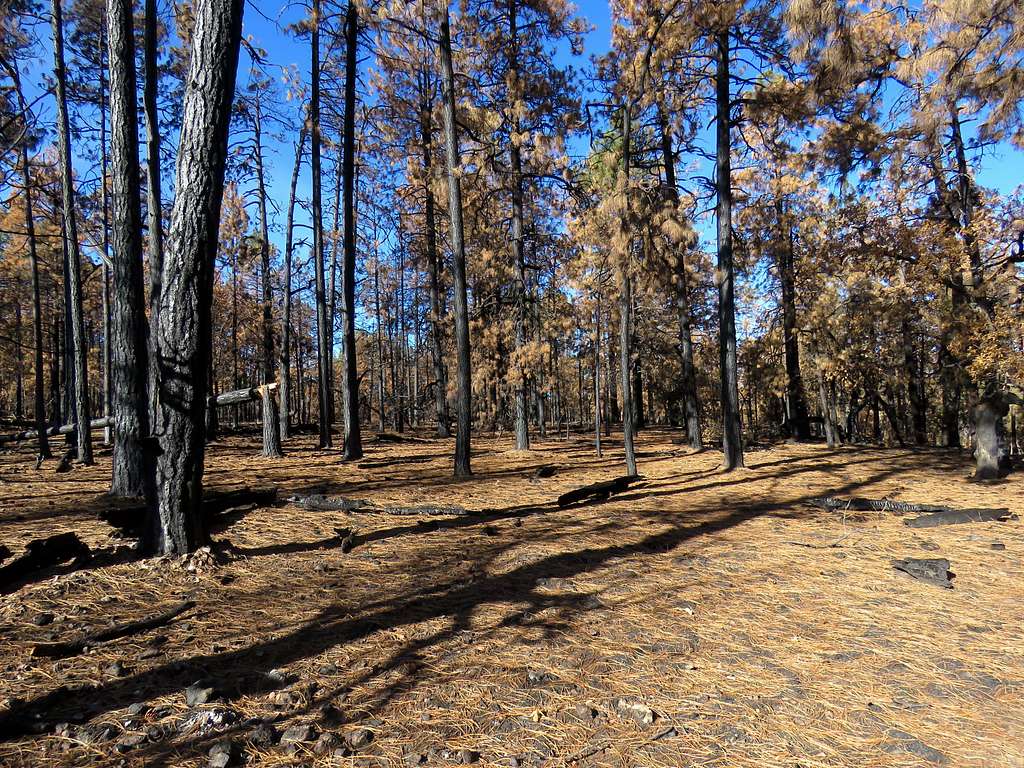
At 5.25 miles from trailhead, at an elevation of 6600 ft, I left trail heading southeast in the forest following a path I had entered into my GPS to reach the edge of the plateau of Secret Mountain. The going was easy but without GPS, I suppose it would have been easy to get lost. I wondered if I was walking in a burnt forest or a deciduous forest with orange fallen needles.
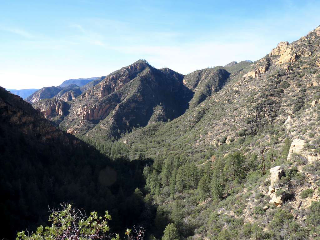
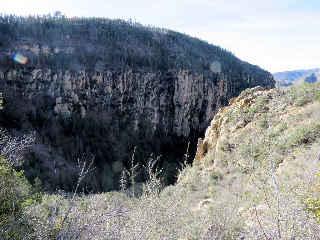
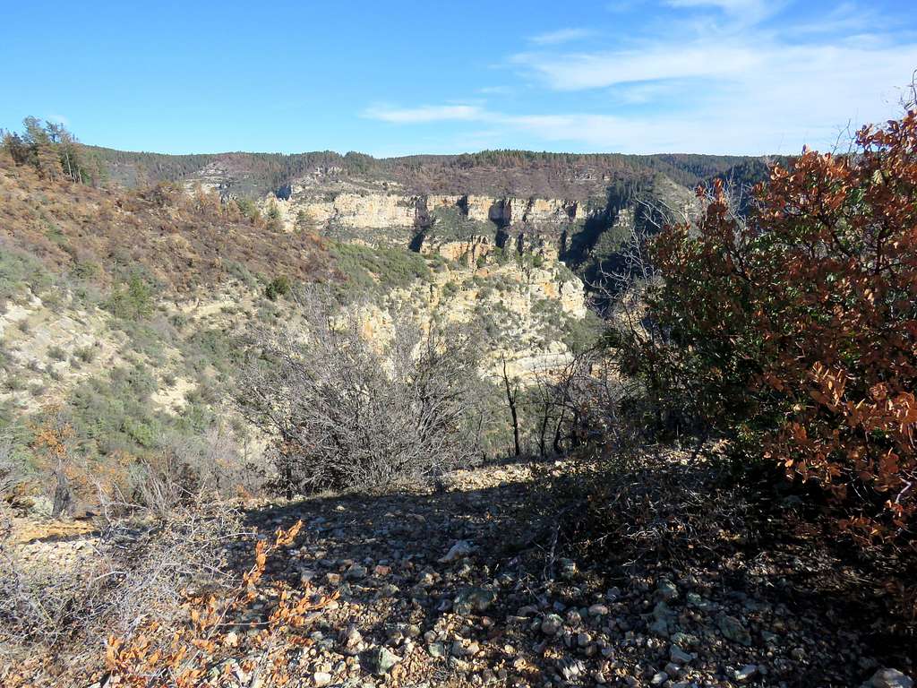
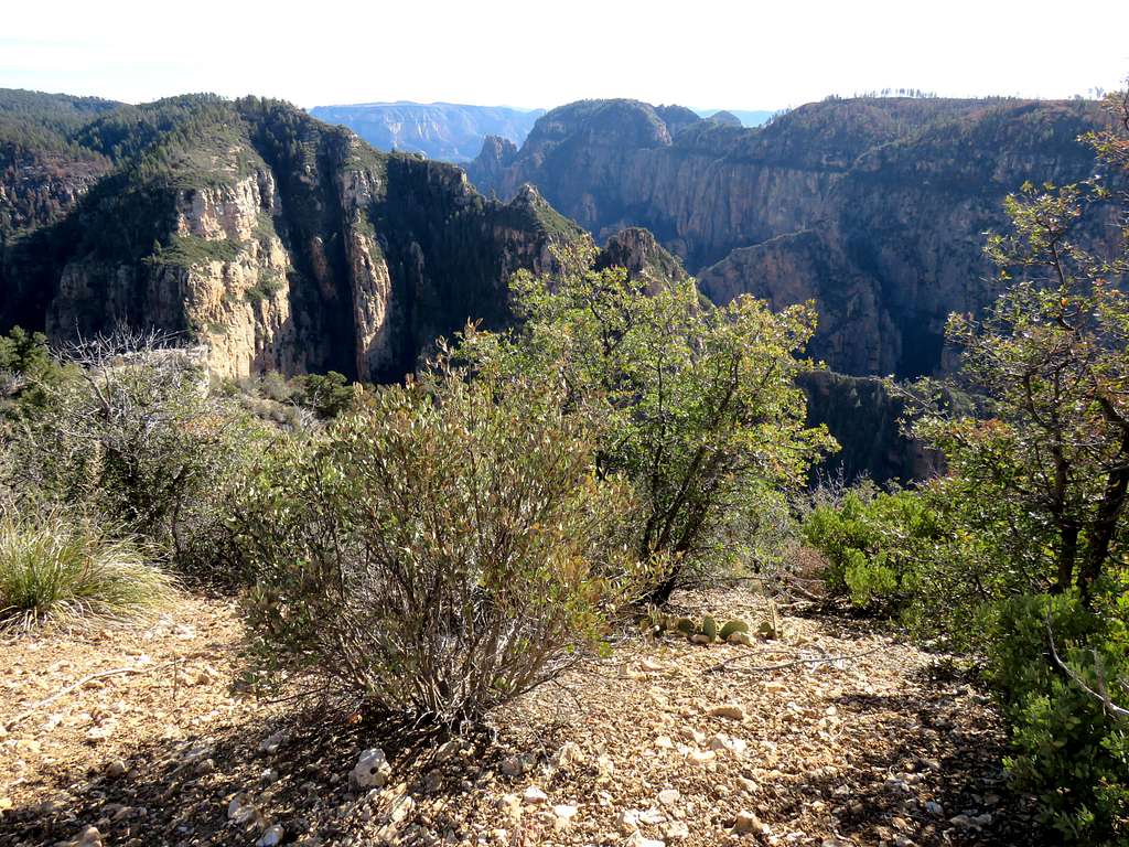
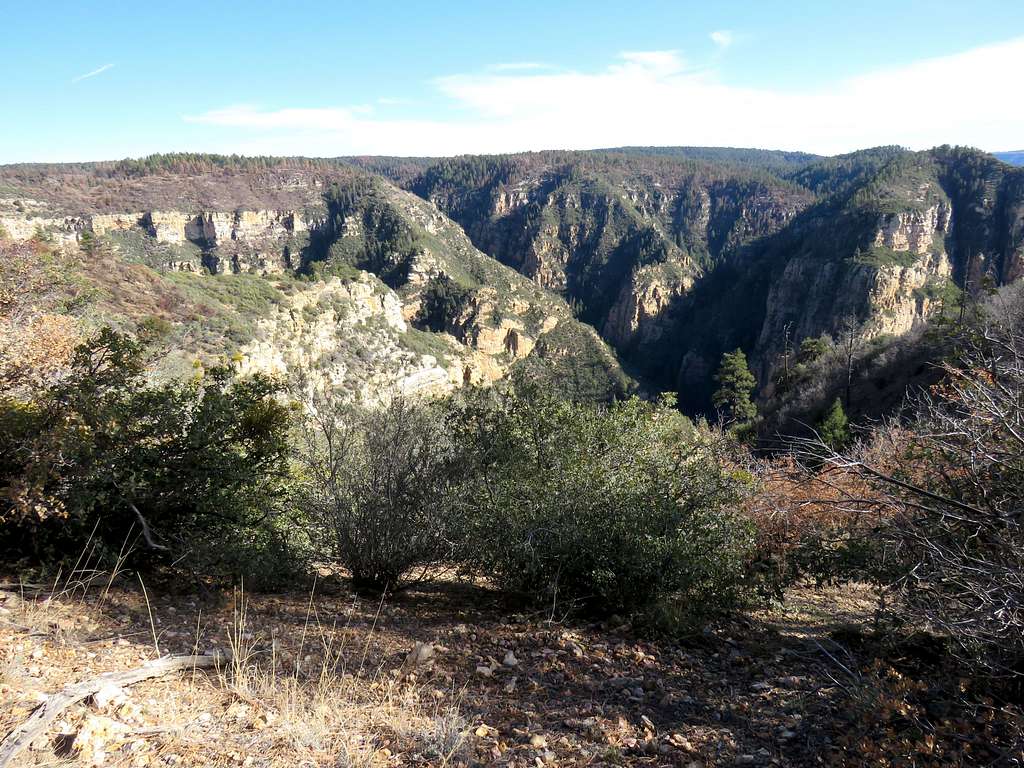
1.25 miles after leaving trail, I reached the edge of the plateau where I had good views of Secret Canyon.
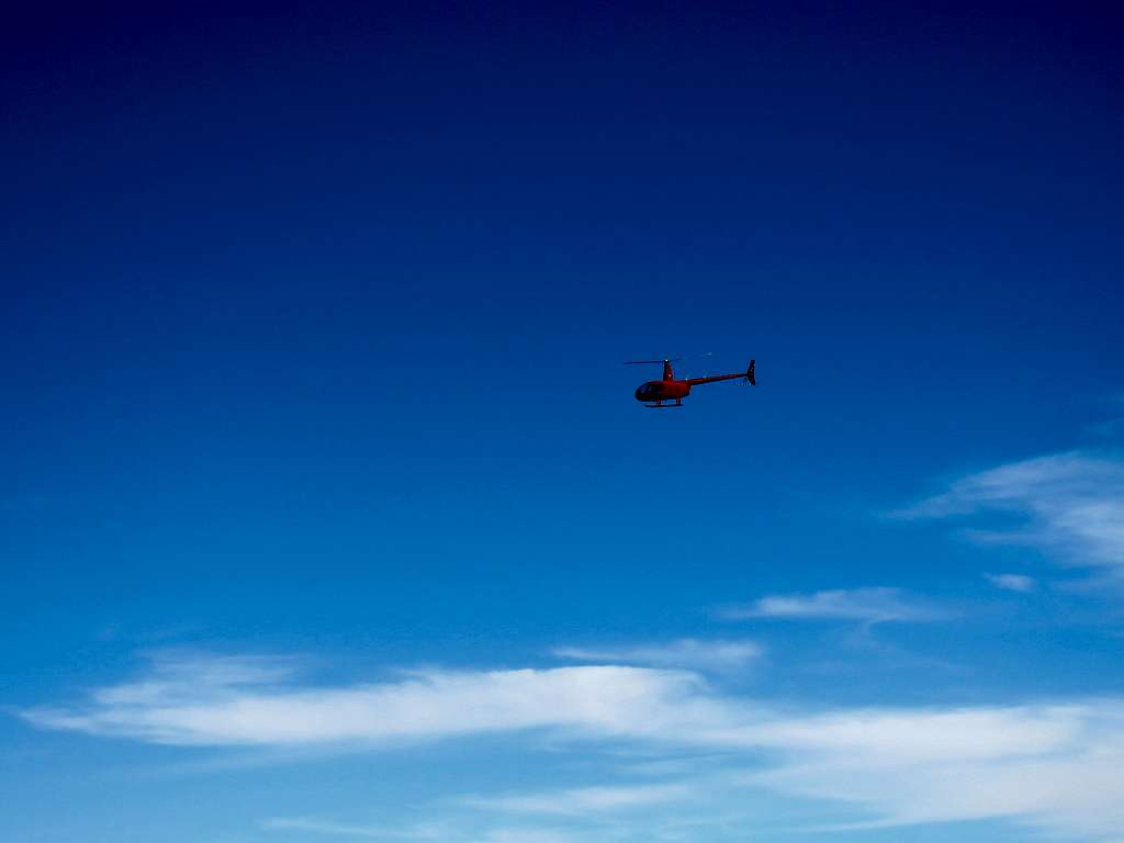
Helicopter and burnt bushes.